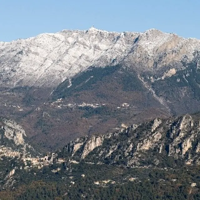
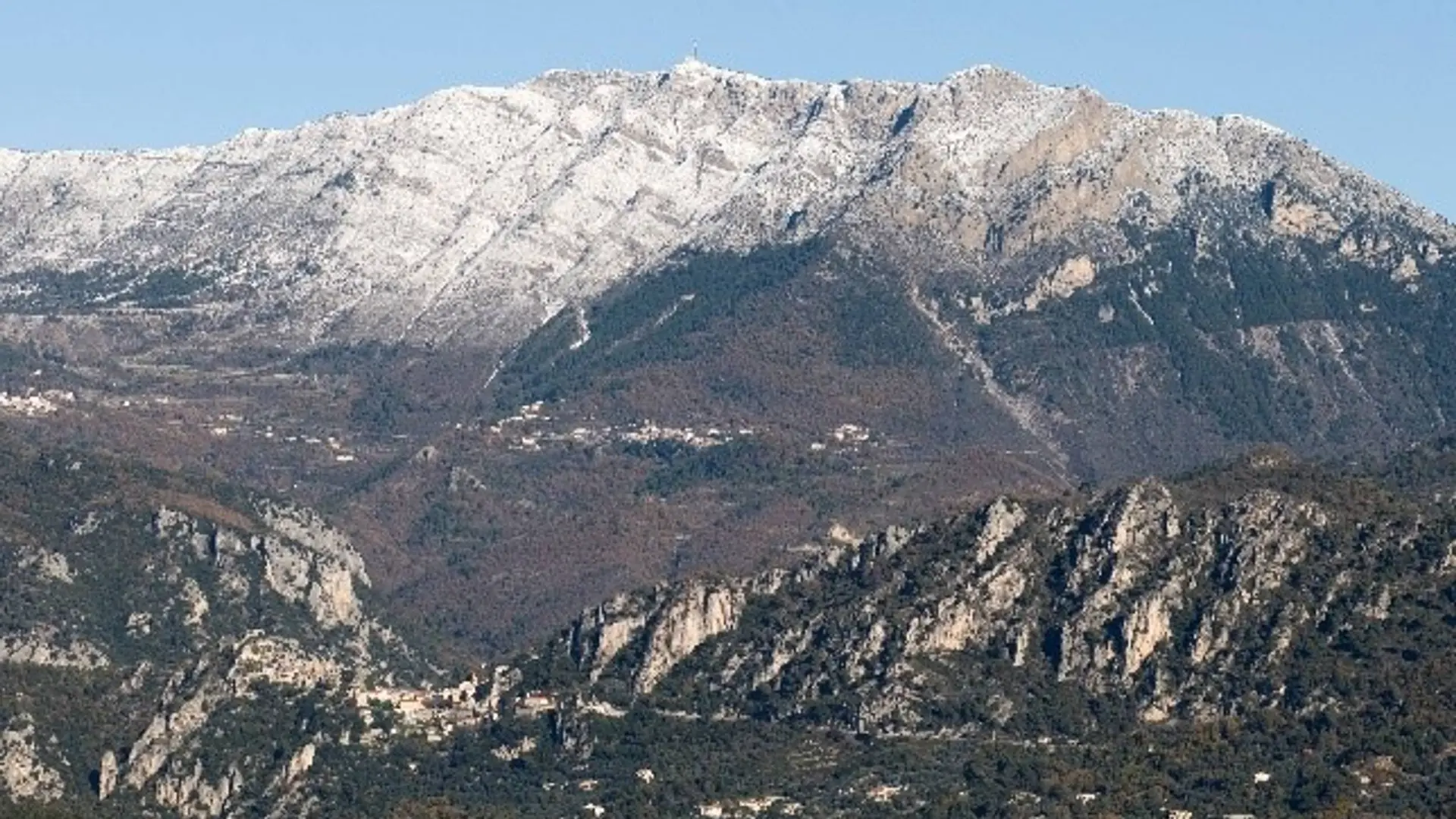
Perched at over 1,550 m above sea level, it is one of the highest peaks in the Préalpes d'Azur Regional Natural Park. Offering a magnificent 360 ° view, Mont-Vial allows you to rub shoulders with the high mountains of the Mercantour National Park, while having an eye on the Mediterranean. Moreover, it belongs to these rare identifiable summits since the Cote d'Azur.
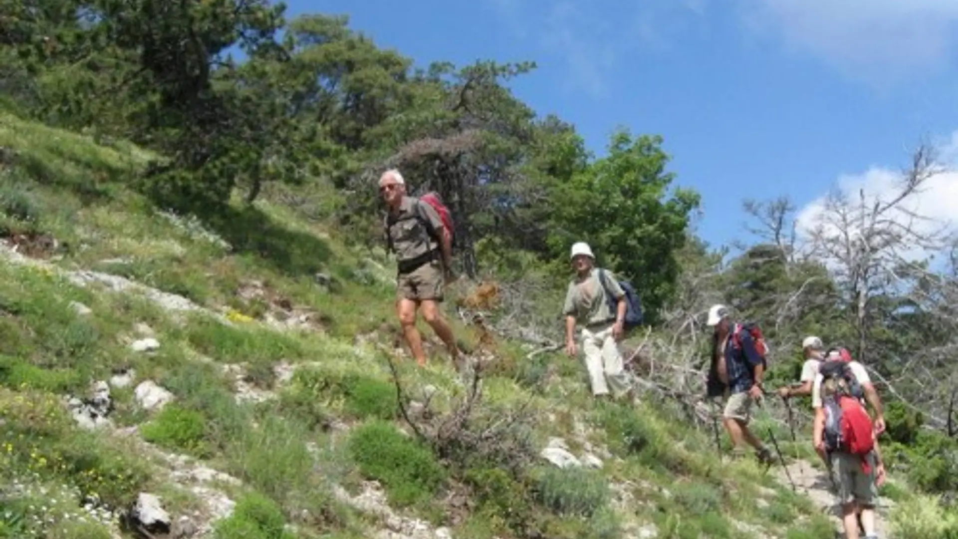
Difficult
Read more