Tips
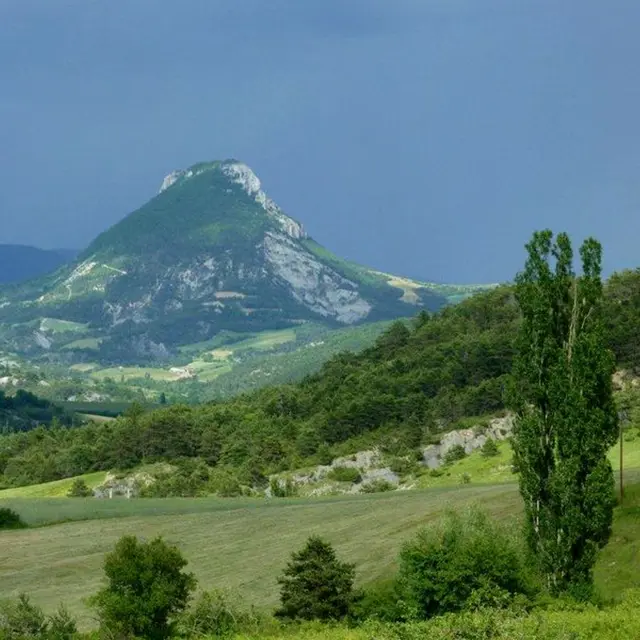
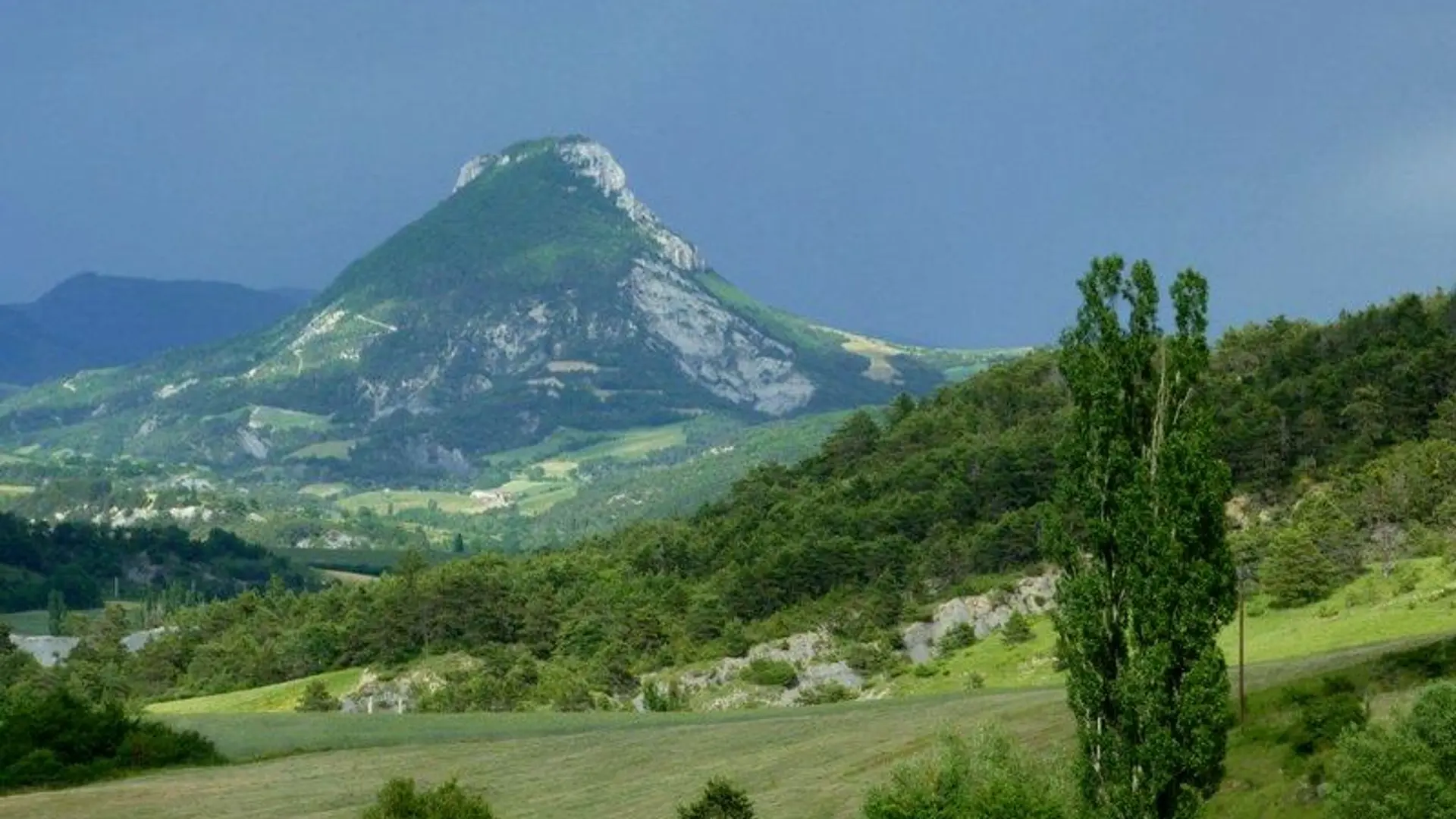
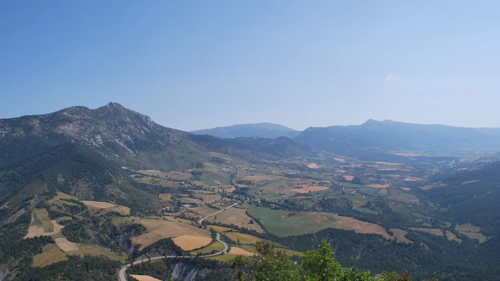
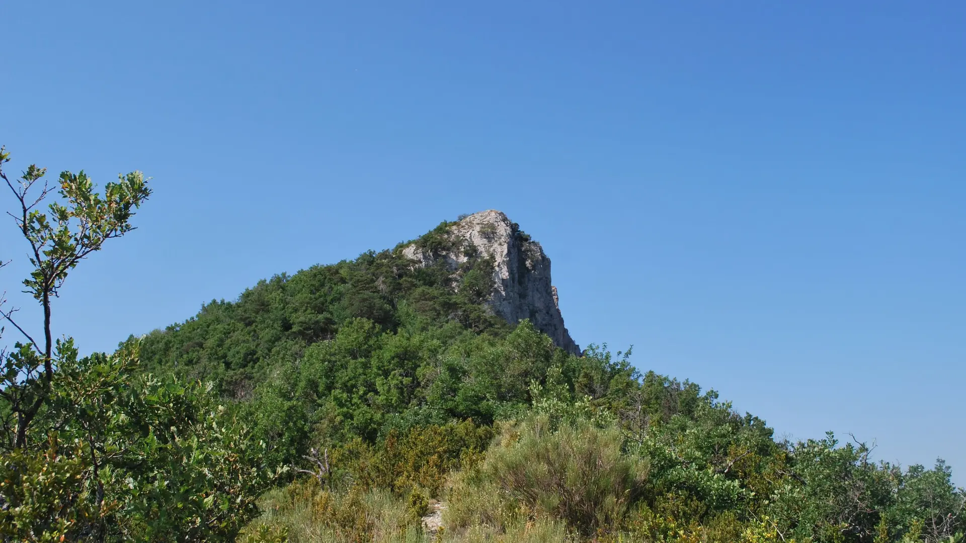
The climb to the ridge quickly becomes very steep.
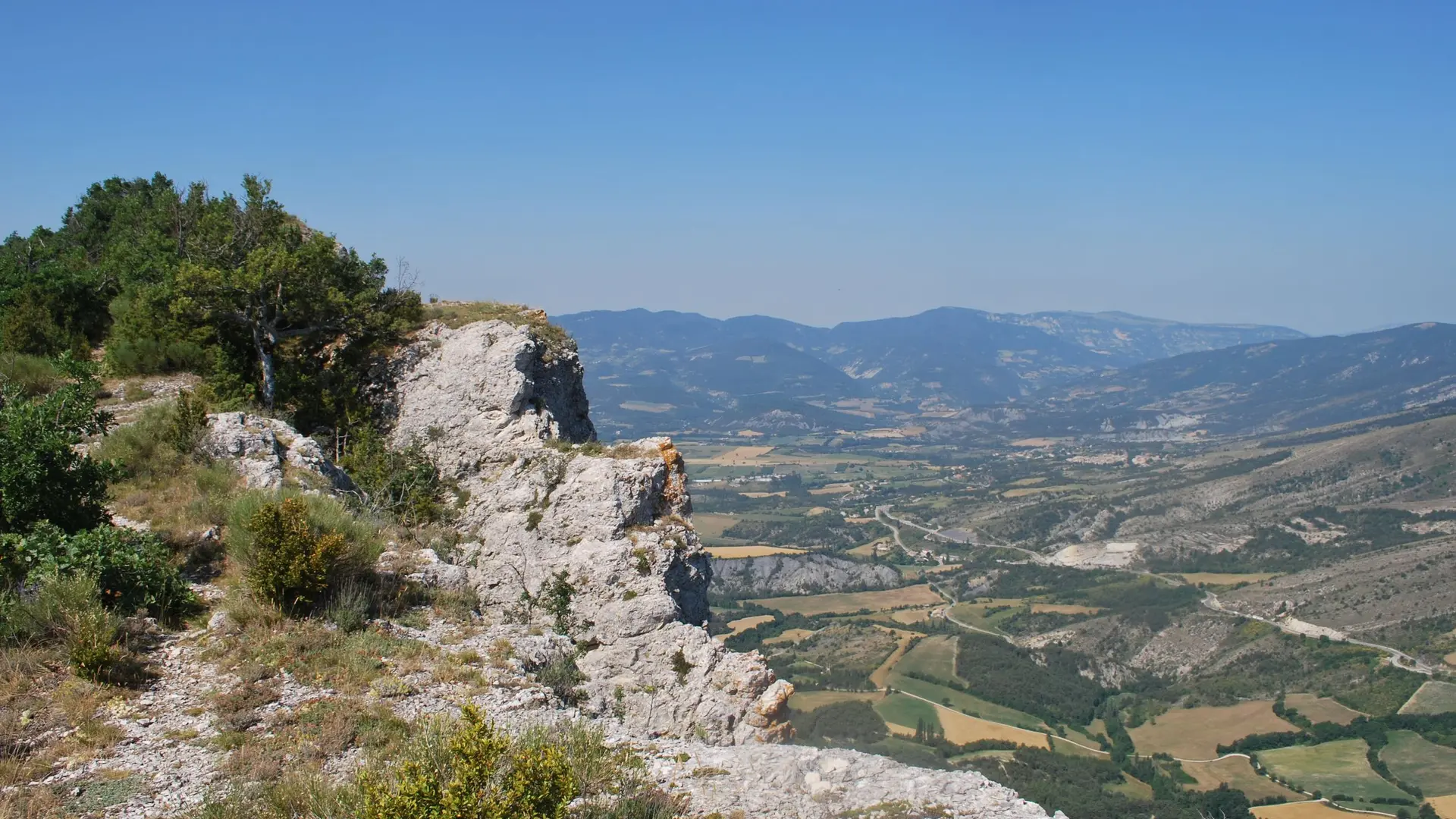
Good shoes are essential because the descent is slippery.
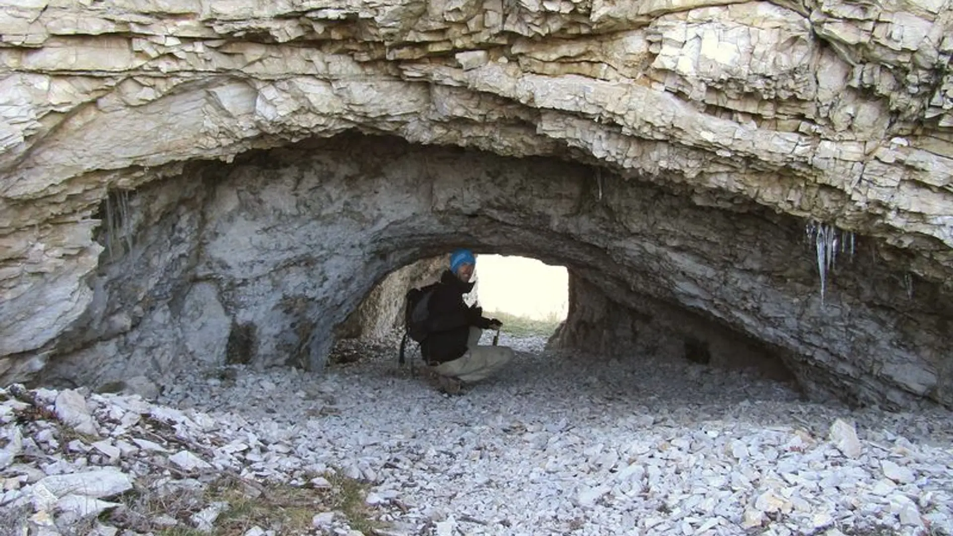
There is a hole in the rock on the south side below the ridge. You may have the chance to observe it (be careful, just behind it, it is a vertical cliff).