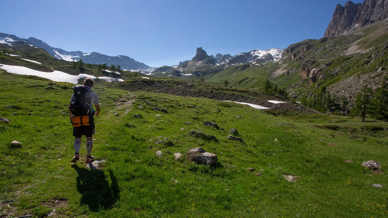
Take the wide track through the typical Italian-sounding hamlet of Granges de la Vallée Étroite: this is the route of the GR57 Tour de la Haute Clarée and the GR5. Continue along this track for around 2km, until it forks just before the Fonderie bridge: turn left towards Mont Thabor and the Maison des Chamois, which can be seen at the top of the path. (The track on the right leads to the Col de la Vallée Étroite, Refuge du Mont Thabor and on to Modane).
Join the Maison des Chamois on a dry ascent. The crossroads near the Maison des Chamois is a bit jumbled, with many forks. Near the Maison des Chamois, leave the track and take the left-hand path, passing above the annex building (follow the signs for "Mont Thabor").
(It is possible to continue on the wide track passing just in front of the Chamois House, which then runs alongside the torrent (here you can see two paths overhanging the torrent, both leading to the Prat du Plan footbridge, which crosses the torrent).
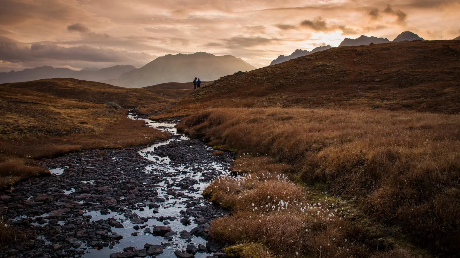
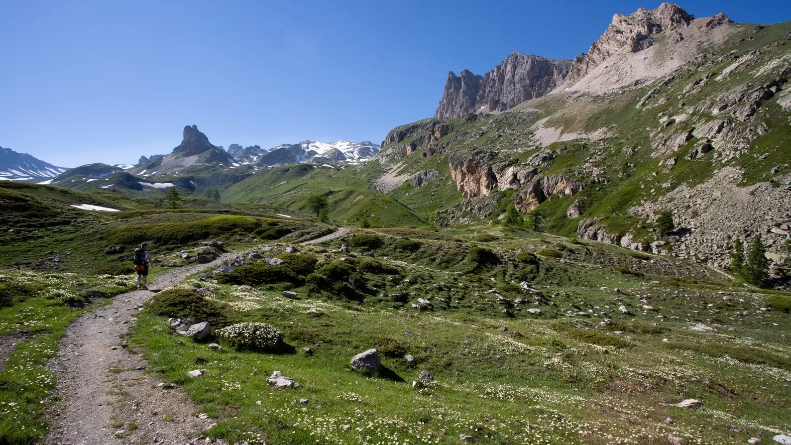
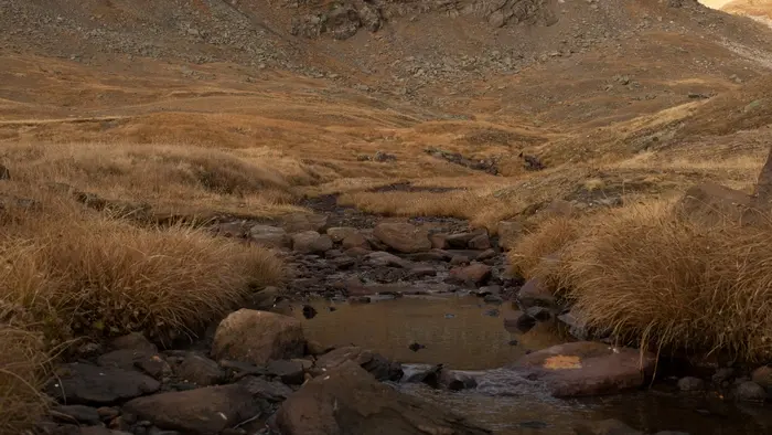
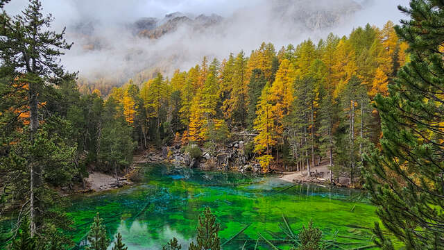
The path rises through the alpine pasture to reach the Prat du Plan footbridge. This magnificent flat, part wetland, is overlooked by the Petit Séru and the imposing Grand Séru.
Cross the footbridge and continue a short climb along a stream to reach a second flat: the Plan du Dîner and its valley.
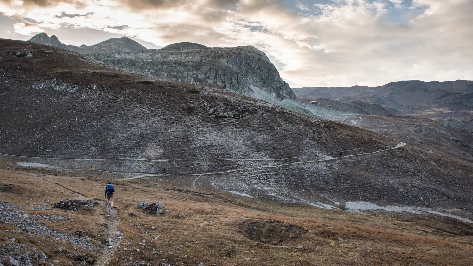
Continue along this route, which crosses the Dîmer valley towards the Col des Méandes and Mont Thabor, which can be seen in the distance.
Under the Petit Adret, ignore the left-hand path and continue up to the Col des Méandes (the GR57 on the left leads to the Col des Muandes and the Clarée valley).
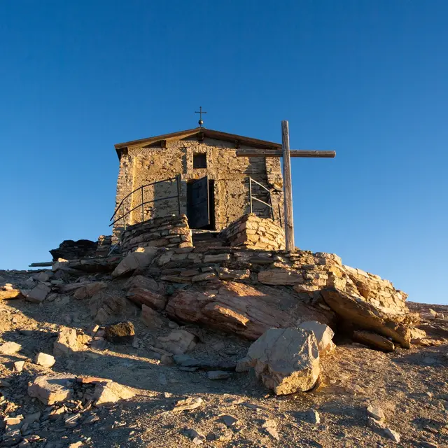
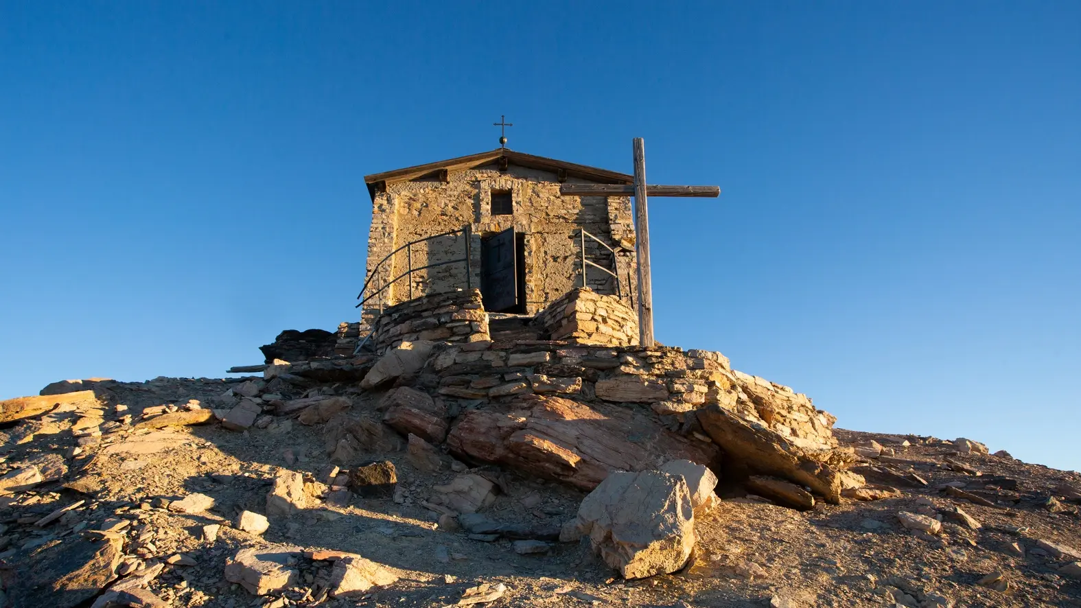
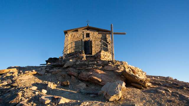
Once at the Col des Méandes, ignore the right-hand path, and continue upwards on the left. This last part of the ascent leaves the last grassy patches for a more mineral, then lunar, setting. The path rises steeply to reach the Chapelle du Mont Thabor and its summit.
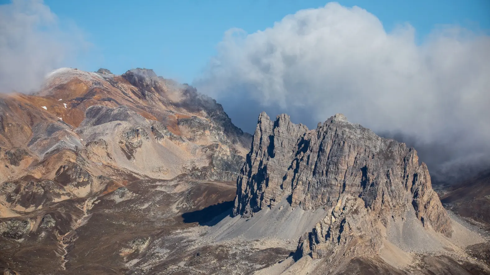
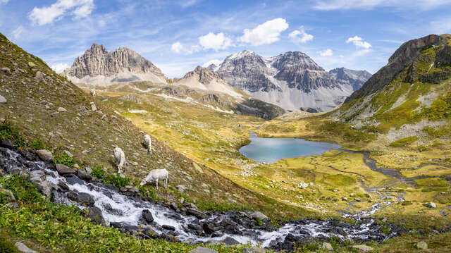
An exceptional panorama opens up: Les Agneaux and Pelvoux, La Barre des Écrins, La Meije, Les Aiguilles d'Arves, Mont Blanc in the distance (possibly hidden by the Pic du Thabor depending on your location), the Massif de la Vanoise to the north (Aiguille de Péclet, La Dent Parrachée) and its glaciers, the Italian peaks with Mont Viso to the south-east, then the Briançonnais to the south, and the Queyras...
Please note: for safety reasons, as the building is in danger of collapsing, access to the interior of the Thabor chapel is no longer possible.
At the start of the season, check the snow conditions on Le Thabor before you set off.
As a general rule, we recommend climbing it from July onwards.
Please note: for safety reasons, as the building is in danger of collapsing, access to the interior of the Thabor chapel is no longer possible.
Read more