> Starting point: Belle Barbe pass
> Itinerary :
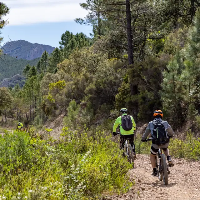
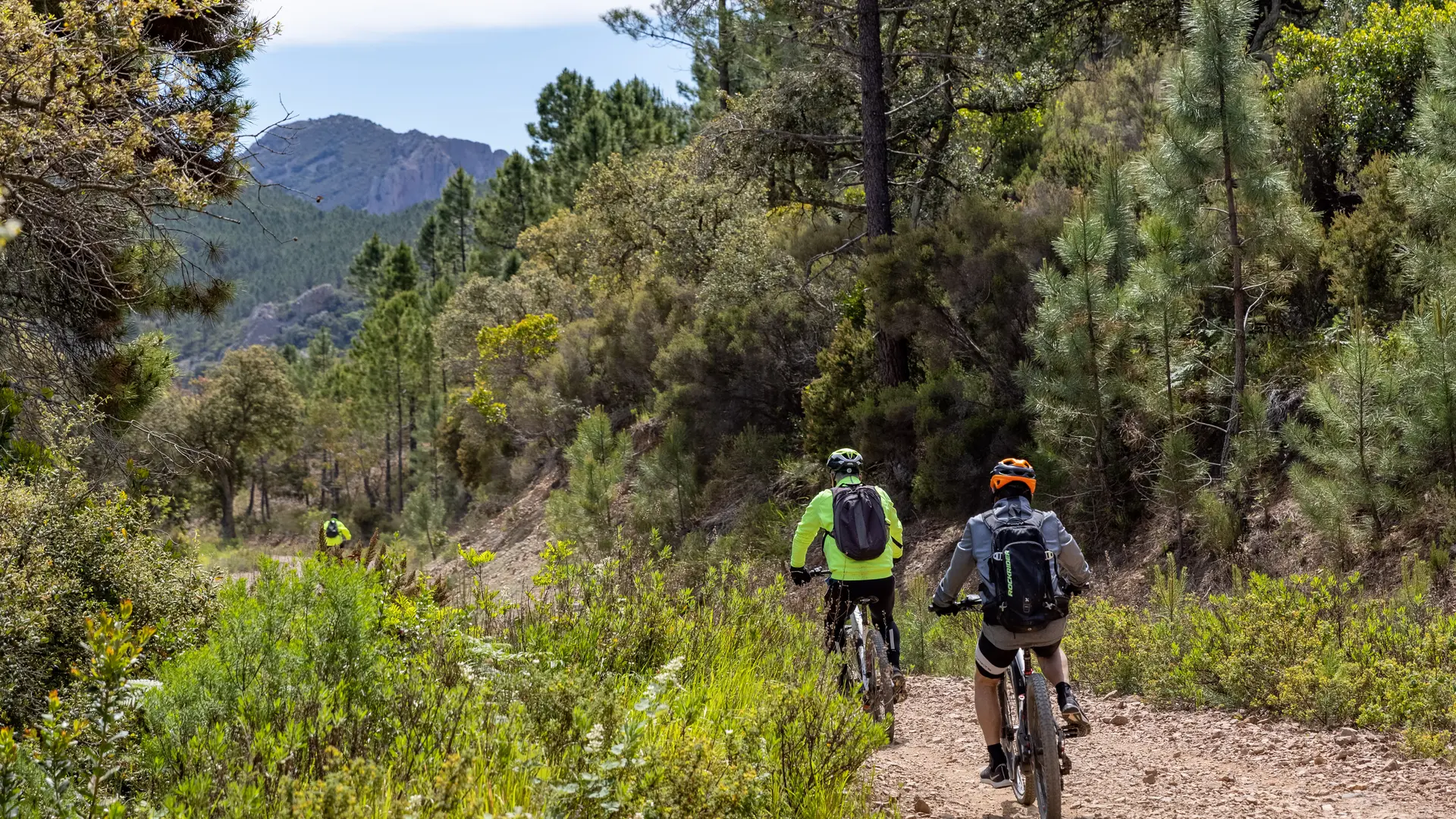
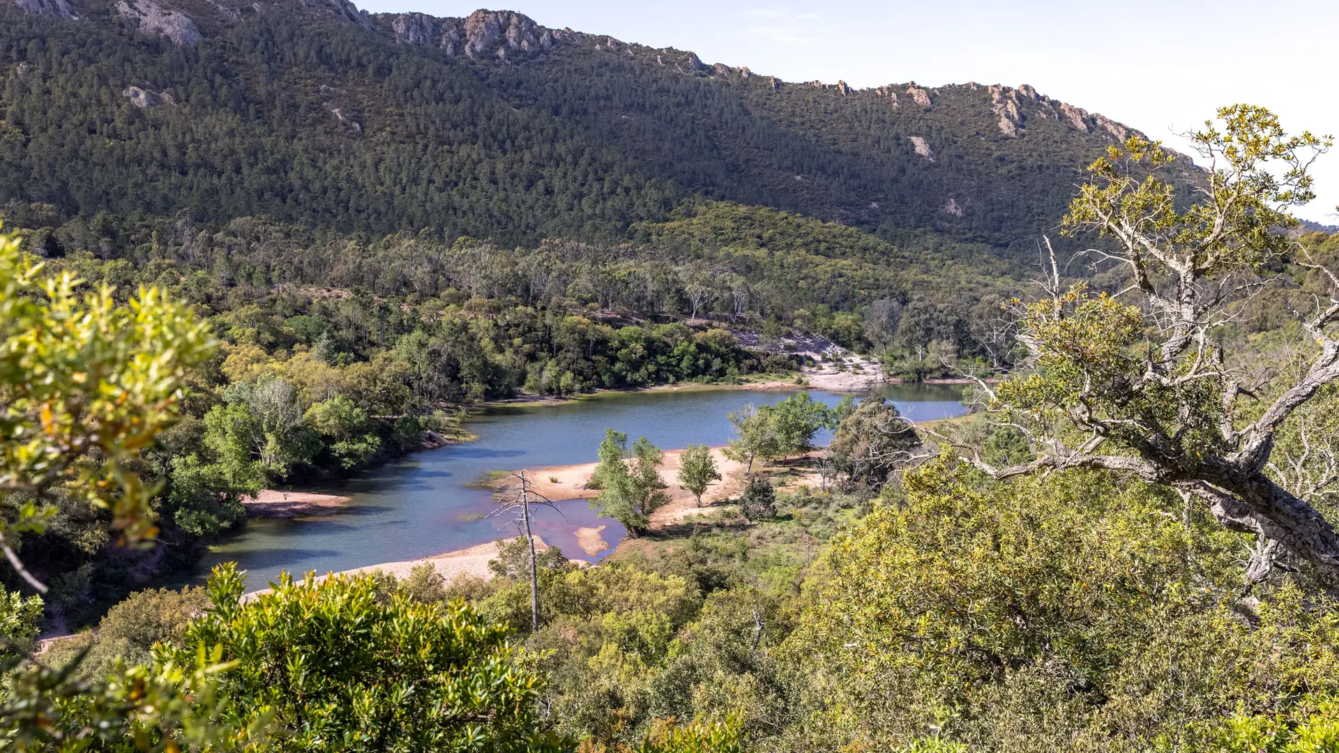
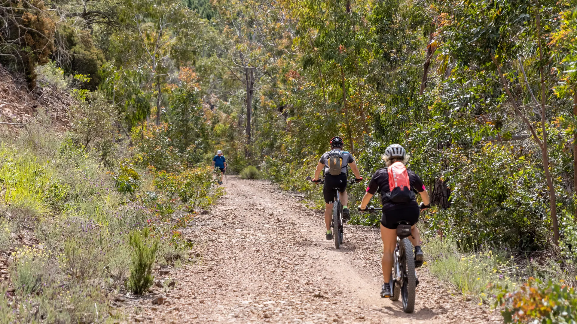
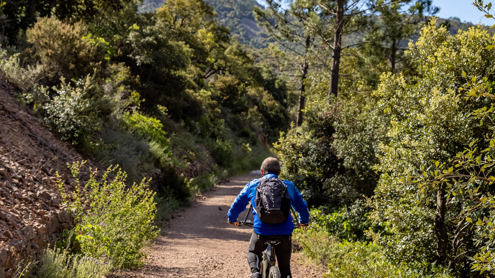
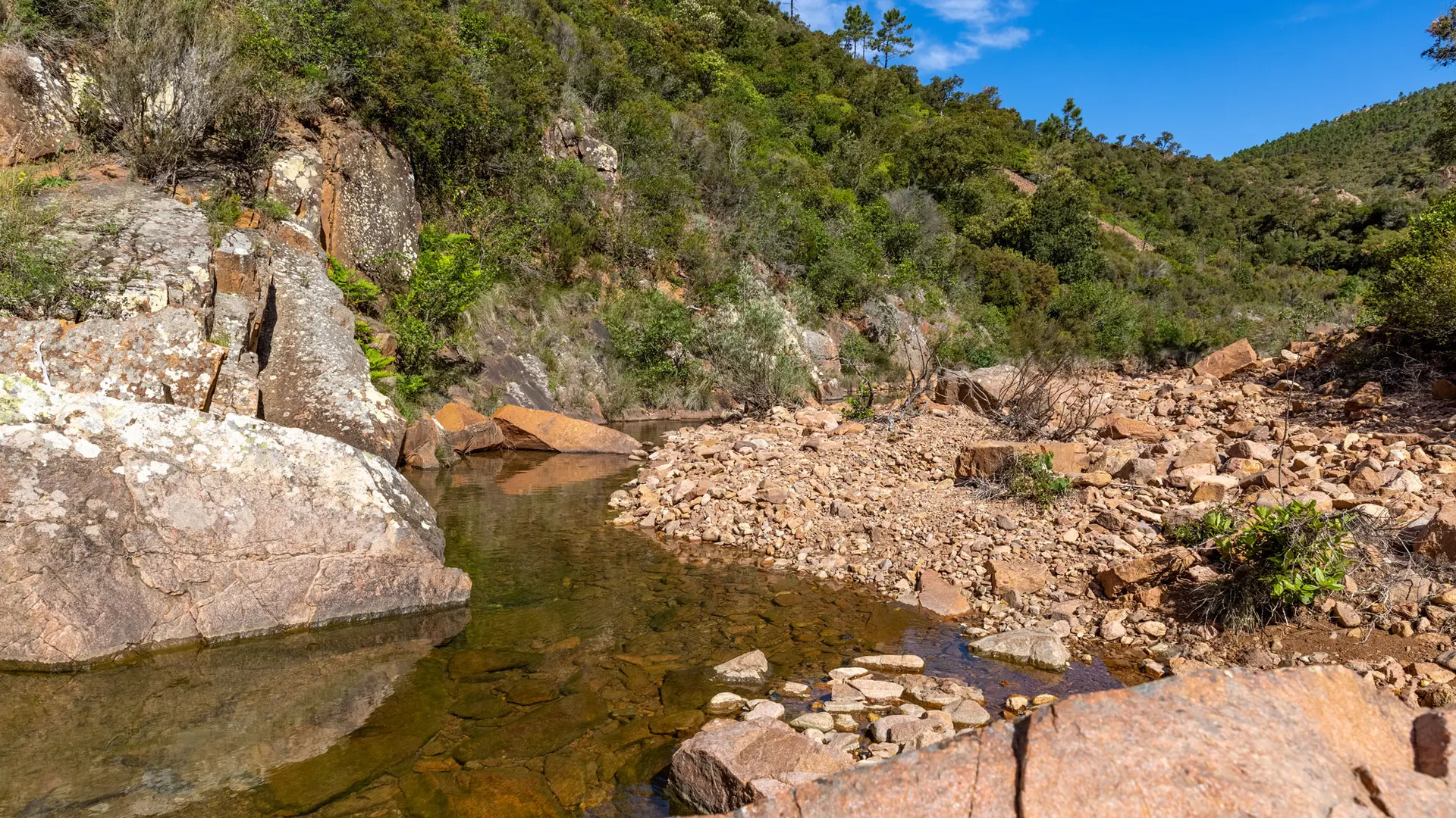
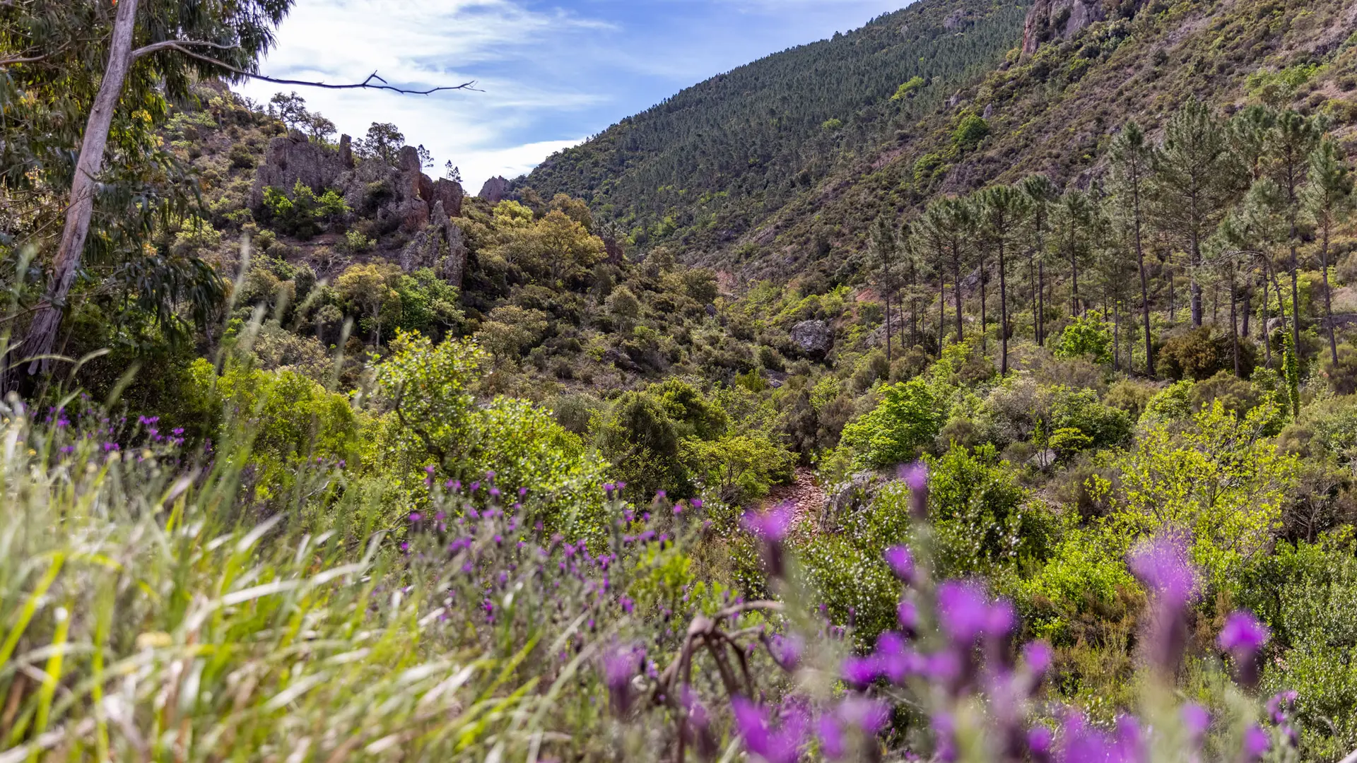
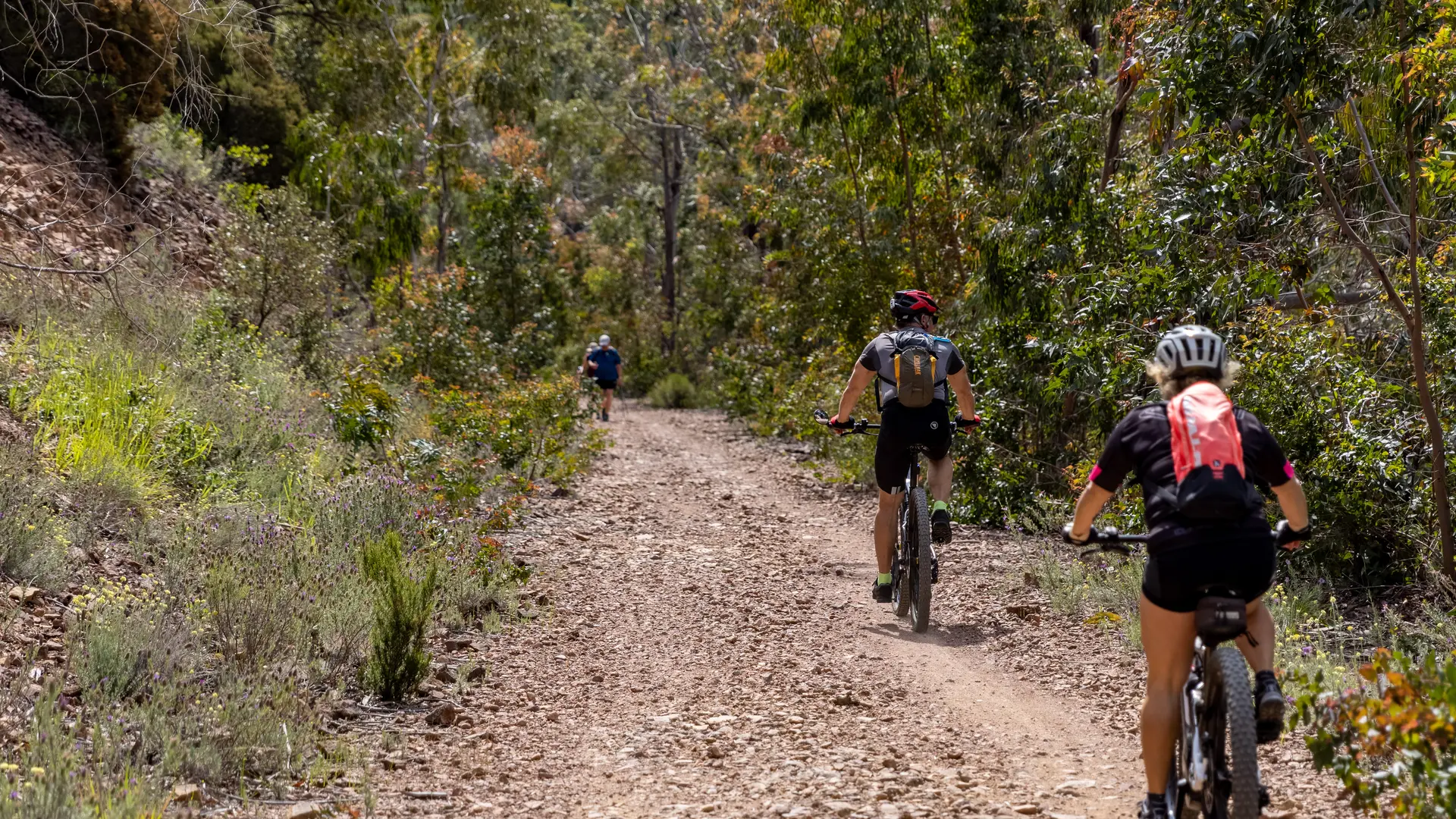
Turn right onto the Malinfernet dirt track, which runs alongside the Grenouillet river. At the ford, continue left along the canyon (yellow line). At the next junction, take the left-hand track across the ford (GR route). After skirting the former Lac de l'Ecureuil, which is now dry, take the left-hand path uphill and continue the 2 km ascent to the Baisse de la Grosse Vache crossroads. From here, the panorama of the Massif is unobstructed. Take the wide left-hand track for 3 km to the Col du Mistral, then turn left onto the tarmac road leading to the Col de Belle Barbe.
> Check Massif vigilance levels: http://www.var.gouv.fr/acces-aux-massifs-forestiers-dans-a2898.html
Read more