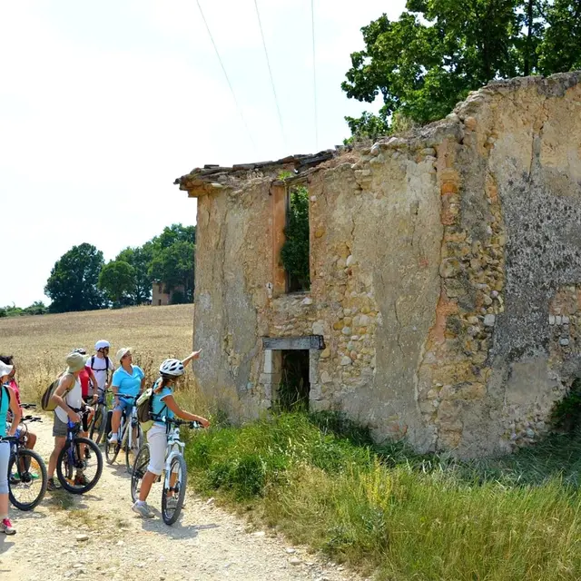
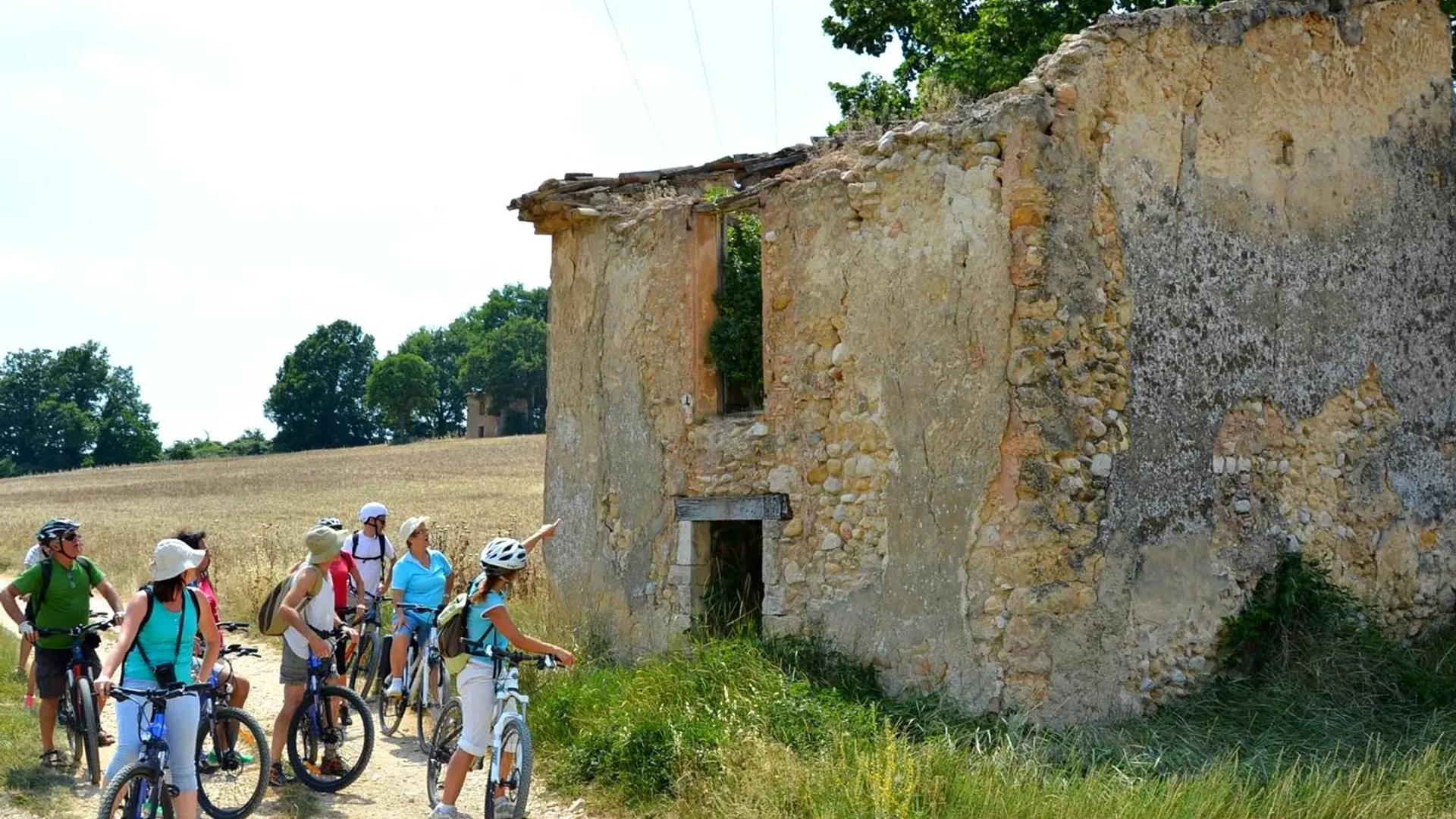
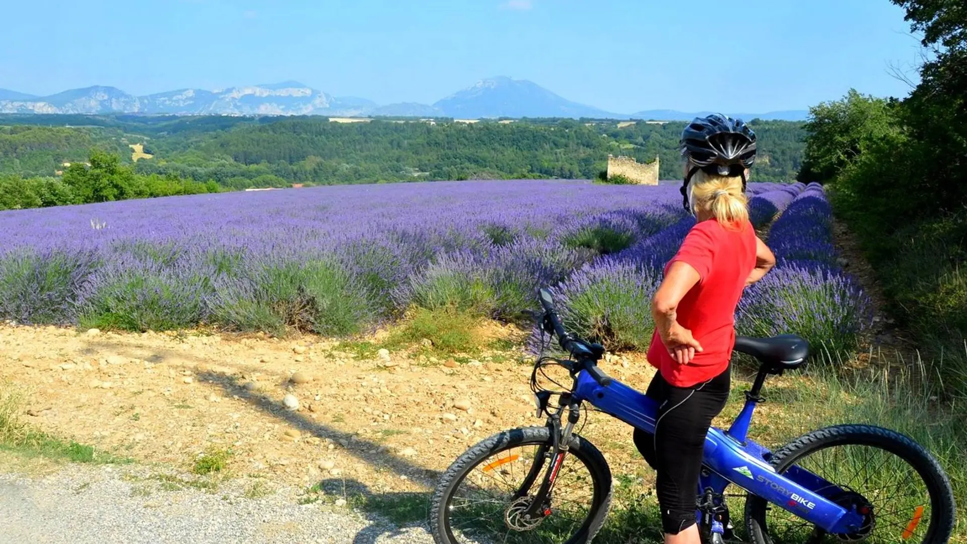
See photos (2)

Mountain Biking Plateau Cabins

Sport, Cycling sports, Mountain biking itinerary in Puimoisson
25.8 km
  • On this walk you will the discover cabins in the middle, fields of lavender, wheat, canola, and sunflower.

  • The beginning of the path is the same as for loop 1, only the way back differs. From the junction, take direction Puimoisson indicated by a hiking sign. Circulating on a rolling trail allowing you to admire a clear landscape, in front of the crest of Montdenier. When you reach a fork, turn left to find the Notre-Dame chapel, in the heart of an oak forest. Go down again to the foot of Puimoisson using a cobble path (be careful!), Where a last effort is necessary to reach the village. Upstream...
    The beginning of the path is the same as for loop 1, only the way back differs. From the junction, take direction Puimoisson indicated by a hiking sign. Circulating on a rolling trail allowing you to admire a clear landscape, in front of the crest of Montdenier. When you reach a fork, turn left to find the Notre-Dame chapel, in the heart of an oak forest. Go down again to the foot of Puimoisson using a cobble path (be careful!), Where a last effort is necessary to reach the village. Upstream of the fork which leads to the Chapel, a variant is possible (right) to reach the road.

    Easy
  • Departure
    Puimoisson
  • Difference in height
    406.667 m
  • Departure : Puimoisson.
    Arrival : Puimoisson.
    Road access : A 6,50 km au nord-est de Riez, par la D953..
    Public transport : Limitons les déplacements en voiture, pensons aux transports en commun et au covoiturage. Tous les transports en commun sur www.pacamobilite.fr .
  • Documentation
    GPX / KML files allow you to export the trail of your hike to your GPS (or other navigation tool)
407 meters of difference in height
  • Maximum altitude : 678 m
  • Minimum altitude : 580 m
  • Total positive elevation : 407 m
  • Total negative elevation : -477 m
  • Max positive elevation : 90 m
  • Min positive elevation : -69 m