See photos (5)

MTB trail no. 3 - Grand Tour of Pays d’Aigues - GPS

Sport, Cycling sports, Mountain biking itinerary in Pertuis
80.1 km
  • This itinerary starts in Pertuis, winding between the foothills of the Grand Luberon massif and the Durance Valley.

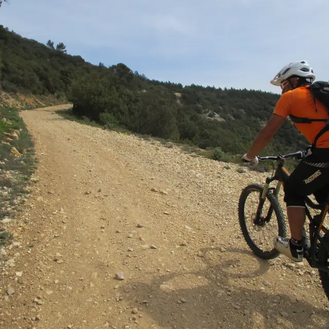
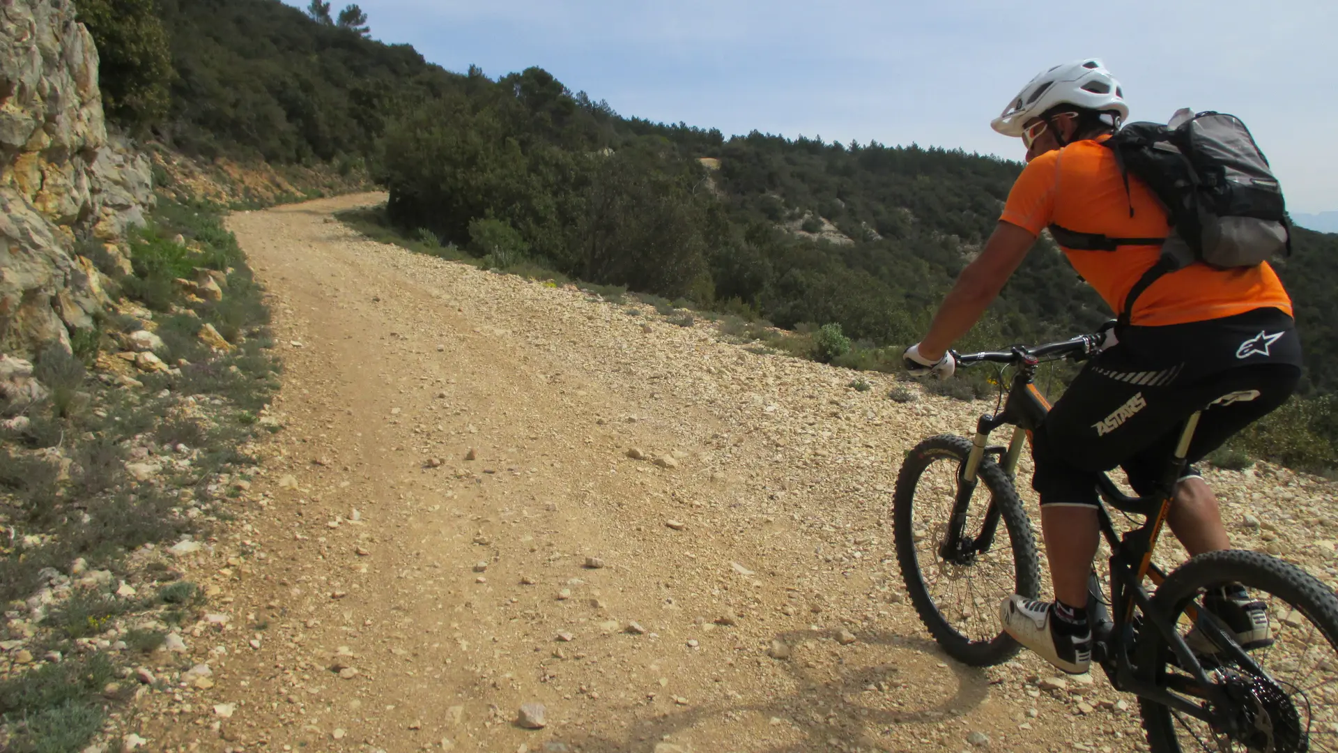
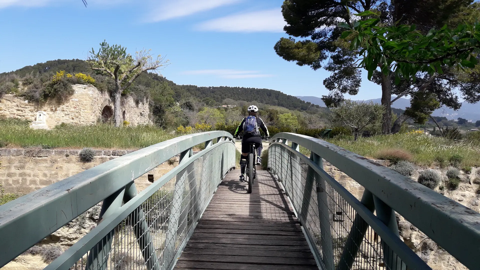
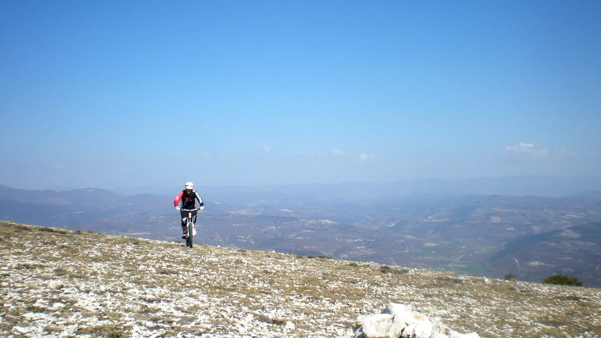
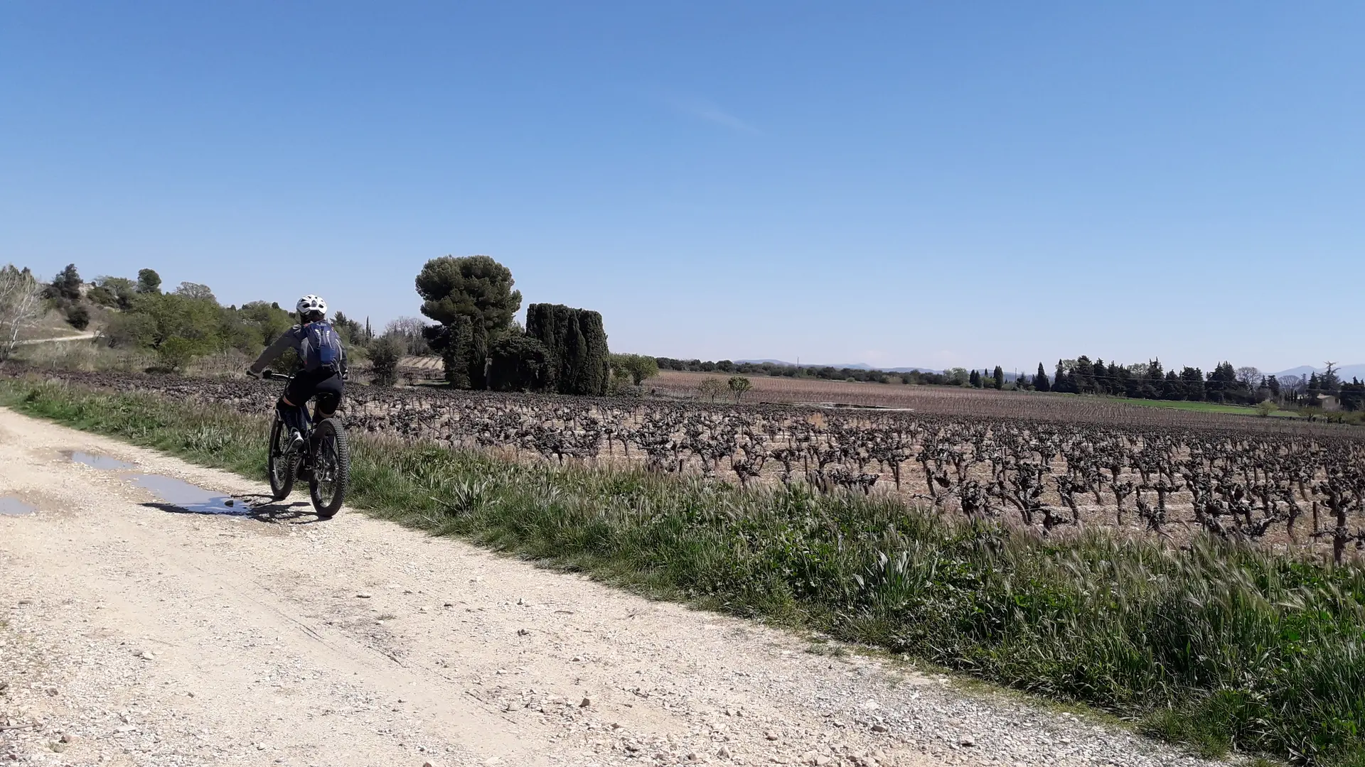
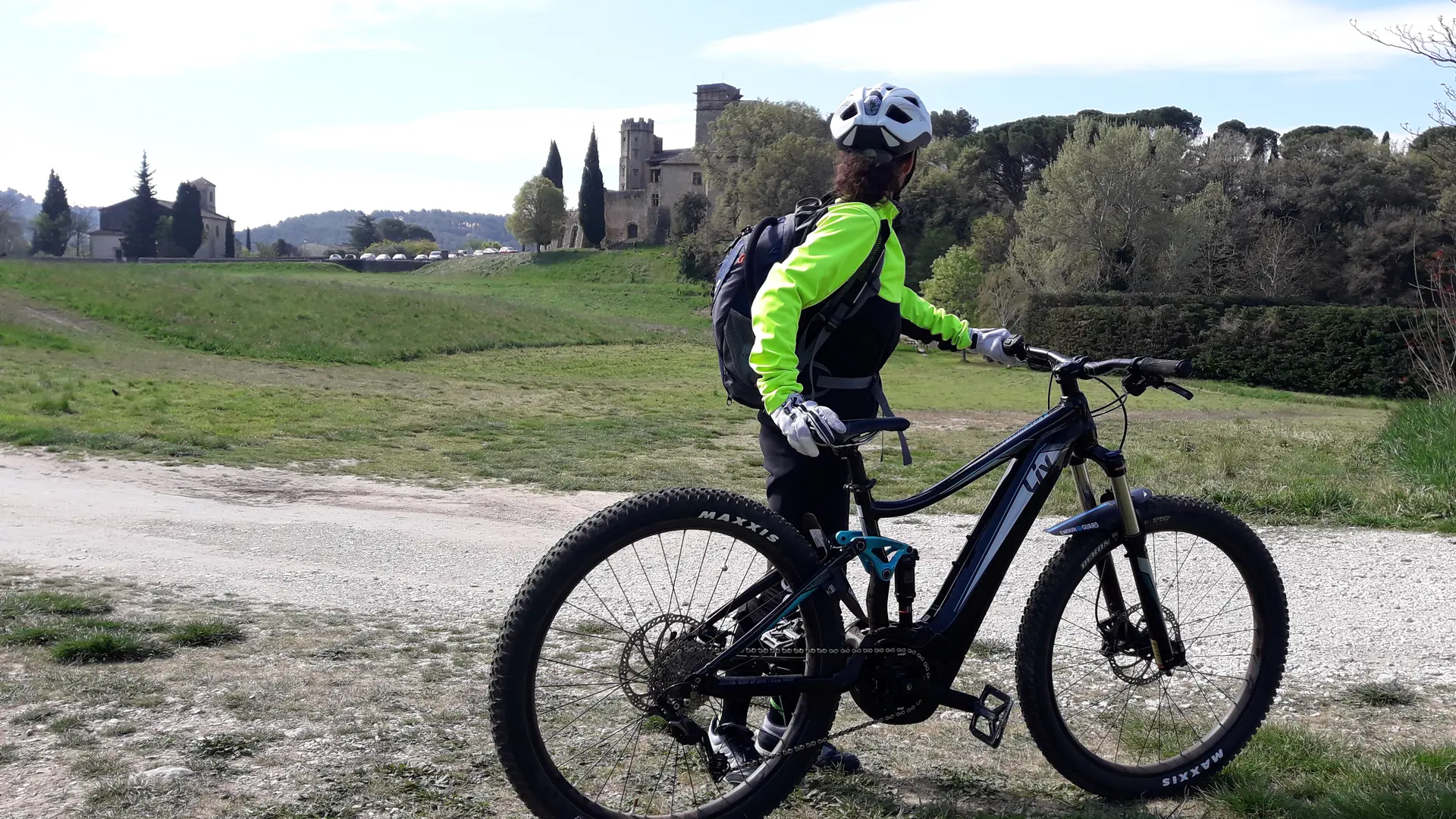
  • A far cry from the parts of Provence that are sometimes overly touristy, here you can discover landscapes made up of wooded hills, vineyards, and medieval cities.

    Let yourself be taken by surprise by this exciting mix of landscapes, with its fun paths and panoramic views.
  • Departure
    Pertuis
  • Difference in height
    1865.71 m
  • Plain text period
    All year round.
  • Environment
    • Forest location
    • In the country
    • Village centre
  • Documentation
    GPX / KML files allow you to export the trail of your hike to your GPS (or other navigation tool)
  • Accepted customers
    • Mountain bikers
1866 meters of difference in height
  • Maximum altitude : 1042 m
  • Minimum altitude : 201 m
  • Total positive elevation : 1866 m
  • Total negative elevation : -1866 m
  • Max positive elevation : 168 m
  • Min positive elevation : -419 m