See photos (2)

Muande de Bonnabelle

Sport, Pedestrian sports, Hiking itinerary in Puy-Sanières
9.7 km
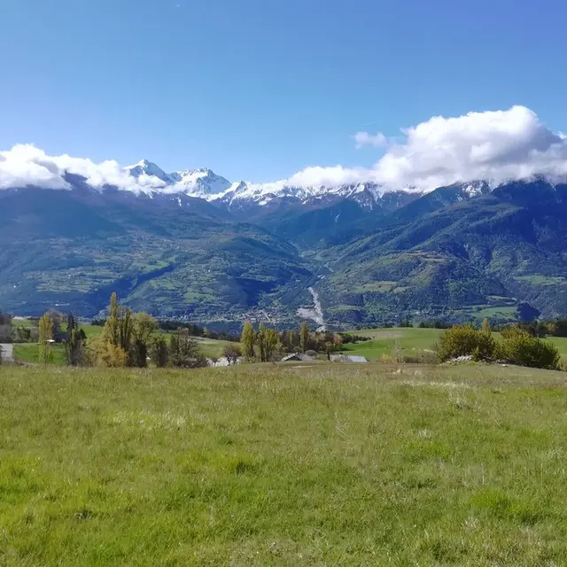
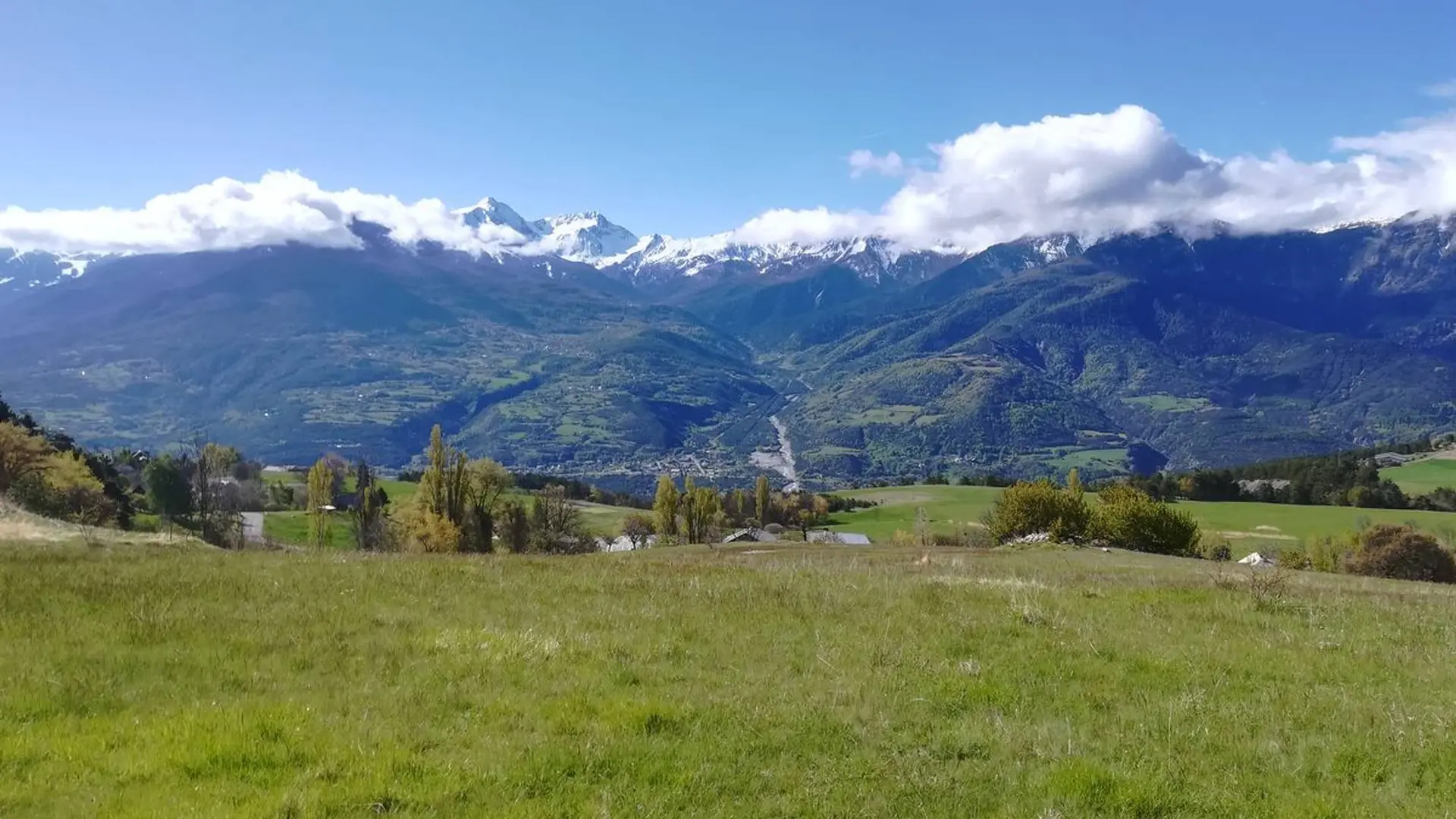
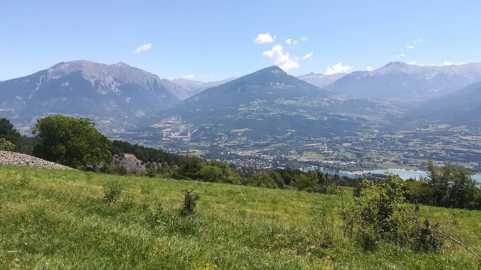
  • Use your senses as you immerse yourself in the pastoral and forest environments you encounter along this route, discovering the environmental riches of Serre-Ponçon along the way.

  • Easy
  • Departure
    Puy-Sanières
  • Difference in height
    308.243 m
  • Departure : hamlet of Les Bouteils, Puy-Sanières .
    Arrival : hamlet of Les Bouteils, Puy-Sanières .
    Road access : From the hamlet of Les Bouteils in the municipality of Puy-Sanières, follow signs for Puy-St-Eusèbe. A little before you come into Puy-St-Eusèbe, park on the right in the car park with the sign « Embrun GR50 et Belvédère la Para»..
    Parking recommended : There is space to park at the starting point of the trail, on the D9 road side. .
    Public transport : Public transport: www.pacamobilite.fr
    Consider car-sharing: www.blablacar.fr .
  • Documentation
    GPX / KML files allow you to export the trail of your hike to your GPS (or other navigation tool)
308 meters of difference in height
  • Maximum altitude : 1418 m
  • Minimum altitude : 1203 m
  • Total positive elevation : 308 m
  • Total negative elevation : -270 m
  • Max positive elevation : 152 m
  • Min positive elevation : -119 m