- Voir les favoris
See photos (8)
N°11 (rouge) - Le Quigouret
Sport, Pedestrian sports, Hiking itinerary
in Saint-Julien-en-Beauchêne
8.6
km
3h 30min
Hard
-
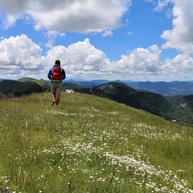
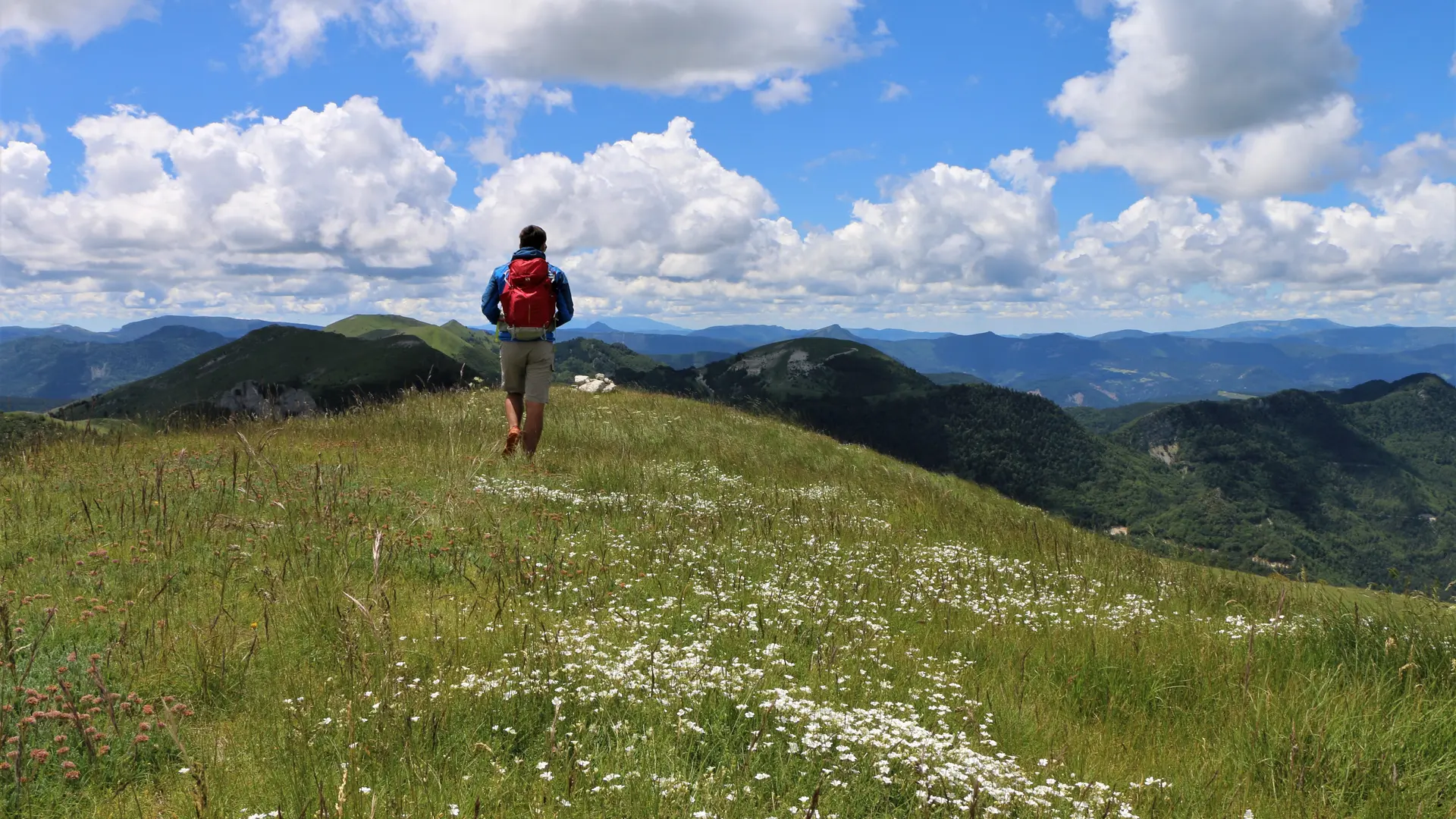
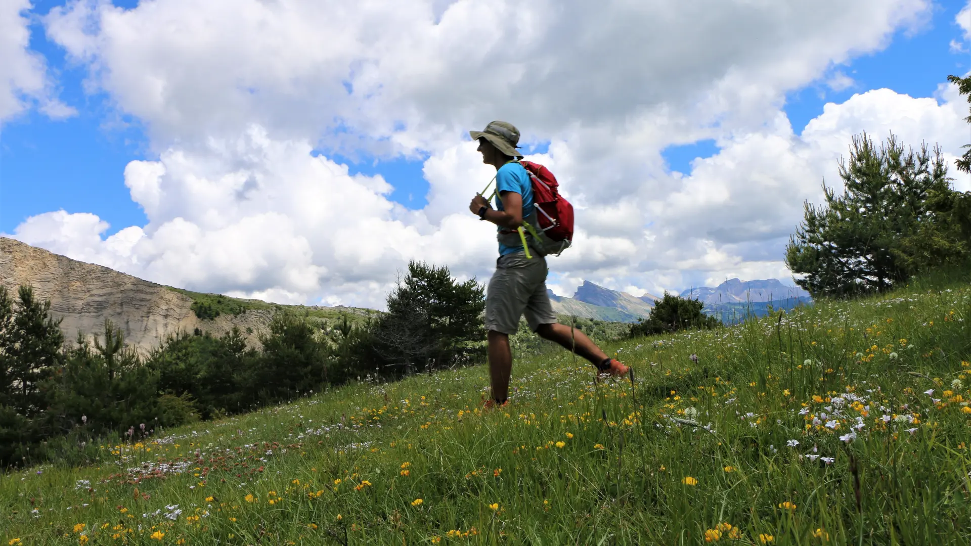
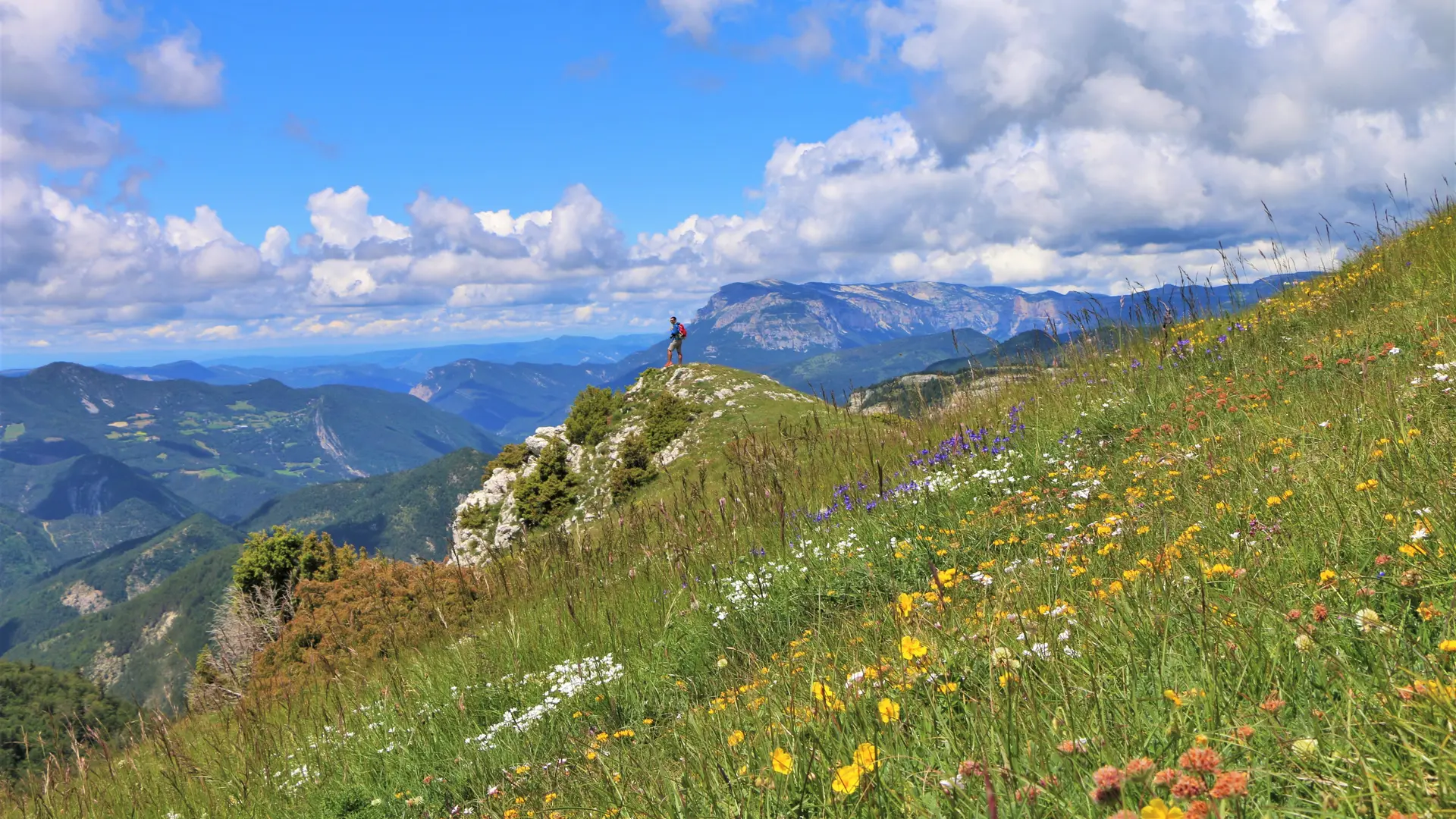
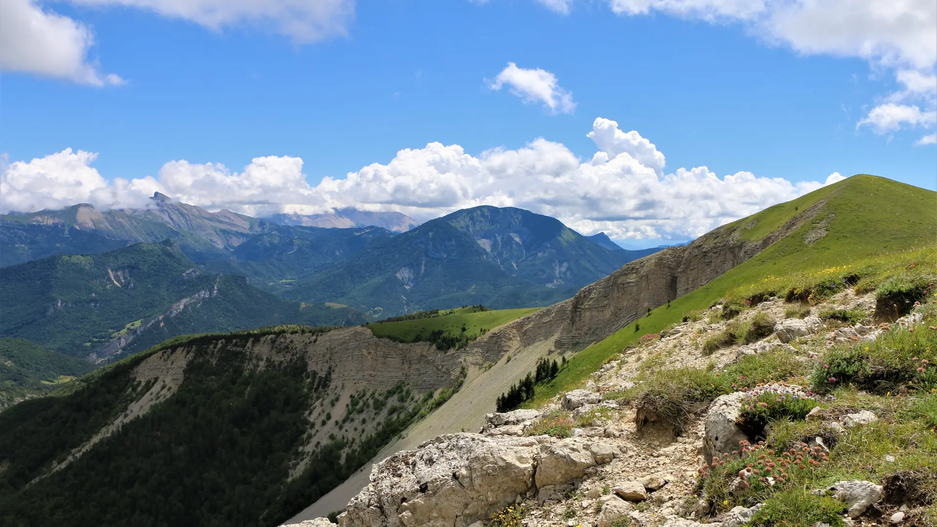
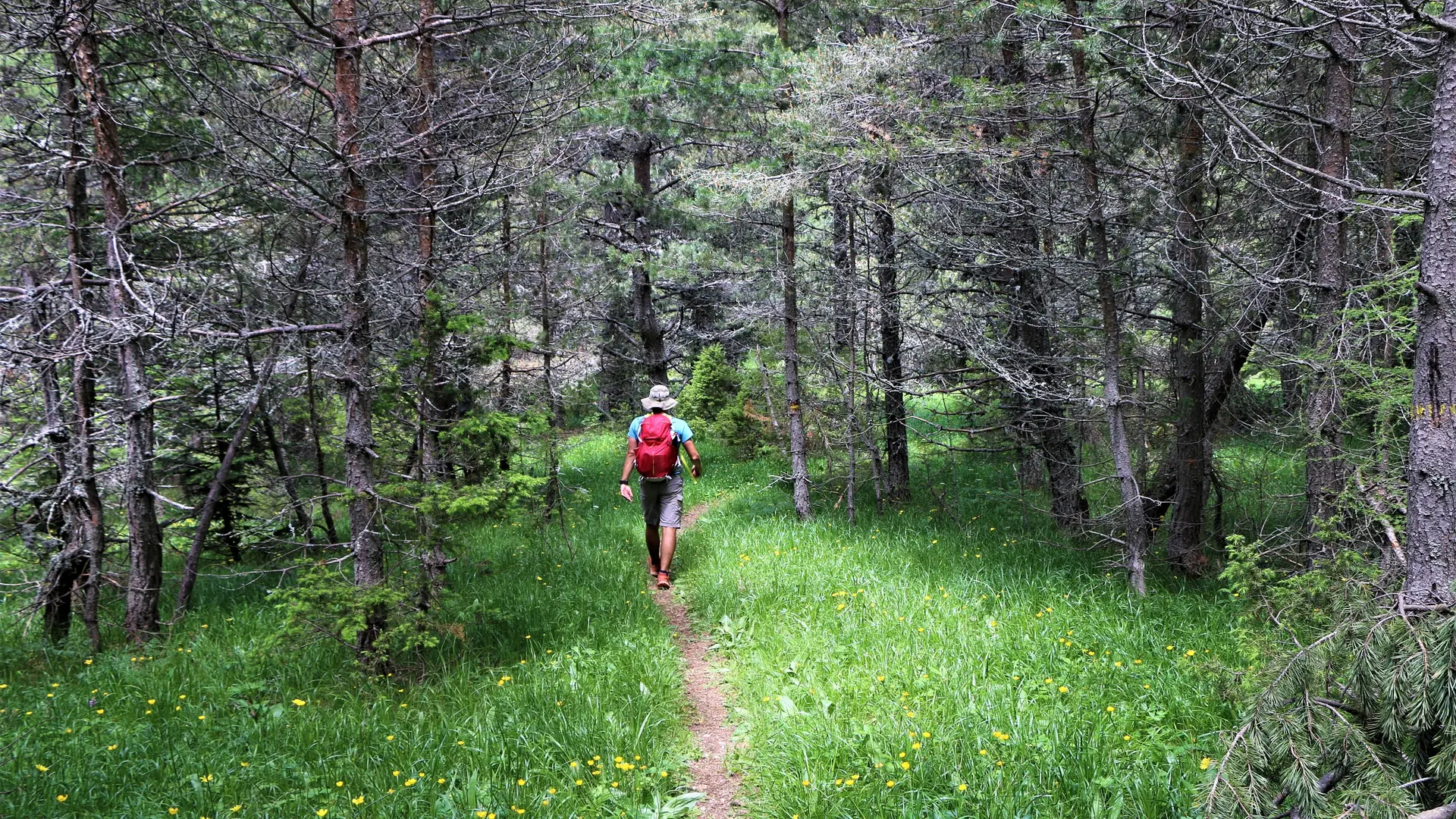
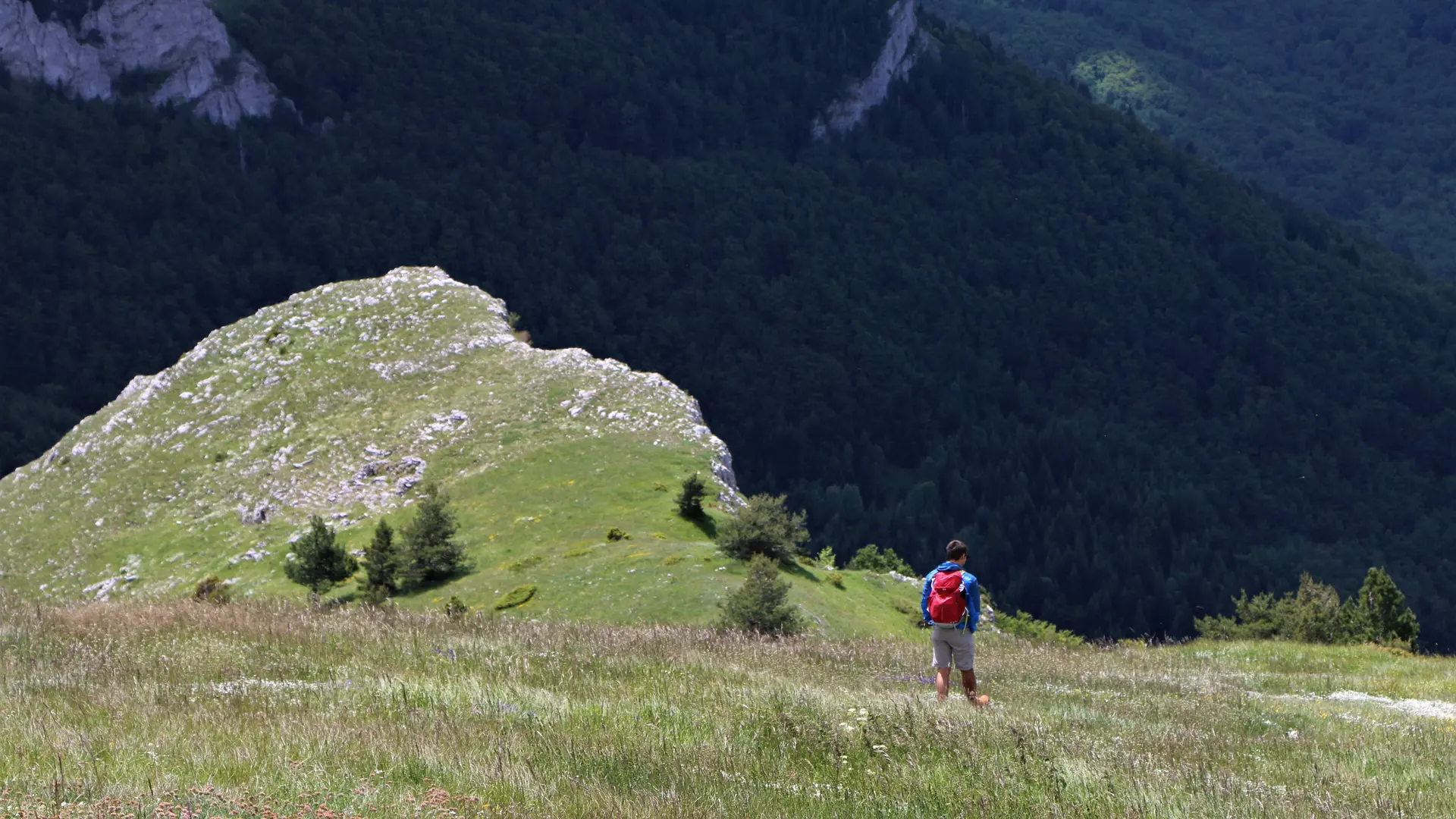
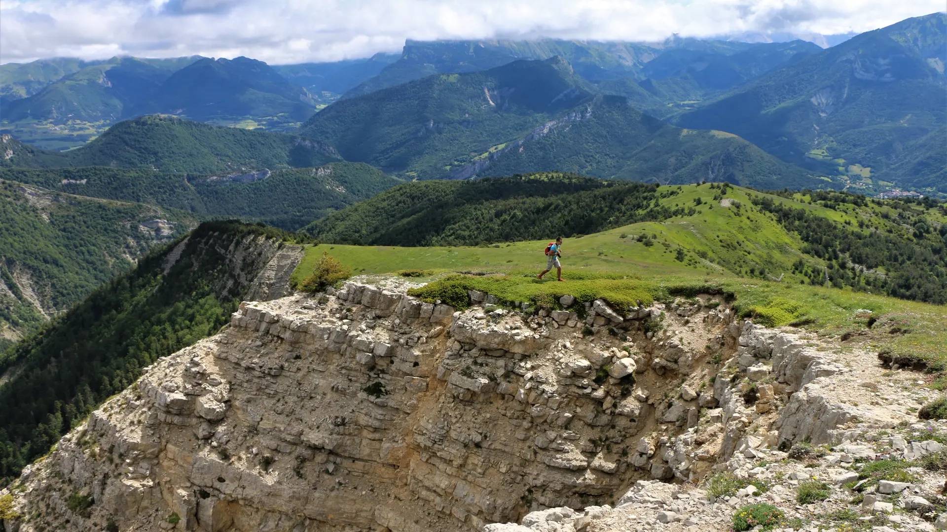
A sporting looping route on the borders of the Hautes-Alpes and Drôme departments, starting from the renovated hamlet of Vaunières.
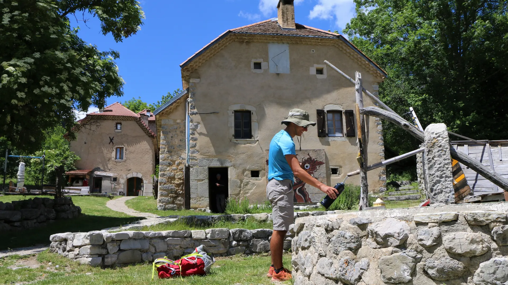
Start: Car park at the intersection of a track 600m downstream from the hamlet of Vaunières.
Distance: 8.6 km
D+: 700 m
Difficulty: Difficult
- Departure
- Saint-Julien-en-Beauchêne
-
-
Difference in height
- 659 m
-
-
-
Plain text period
-
All year round.
Subject to favorable snow and weather conditions.
-
-
-
Environment
-
-
-
Spoken languages
-
-
-
Documentation
- GPX / KML files allow you to export the trail of your hike to your GPS (or other navigation tool)
-
-
-
Accepted customers
-
- See all reviews
- 659 meters of difference in height
-
- Maximum altitude : 1716 m
- Minimum altitude : 1121 m
- Total positive elevation : 659 m
- Total negative elevation : -659 m
- Max positive elevation : 344 m
- Min positive elevation : -264 m
Services
-
-
Equipment
-
-
-
Services
-
