- Voir les favoris
N°14 Romanche - Enduro de la Grave
Sport, Cycling sports, Cycle tourism route, Mountain biking itinerary
in La Grave
6.8
km
-
Itinerary leading to a steep, technical descent on steep slopes. Ideal for enjoying alpine trails and views of the Meije and its glaciers.
-
From Le Chazelet, head for the oratory via the road and the track that rises below the Signal chairlift.
Climb to Col des Juges, at the summit of Les Plagnes. Begin the descent, on the path towards Les Clots.
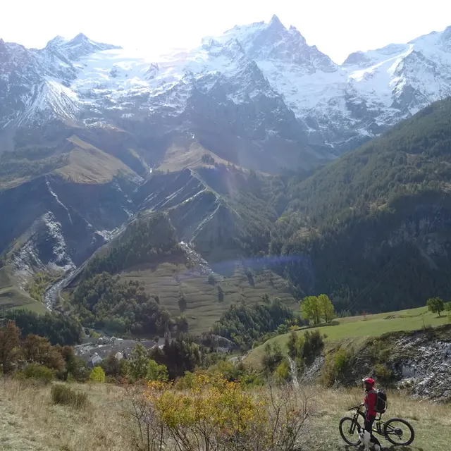
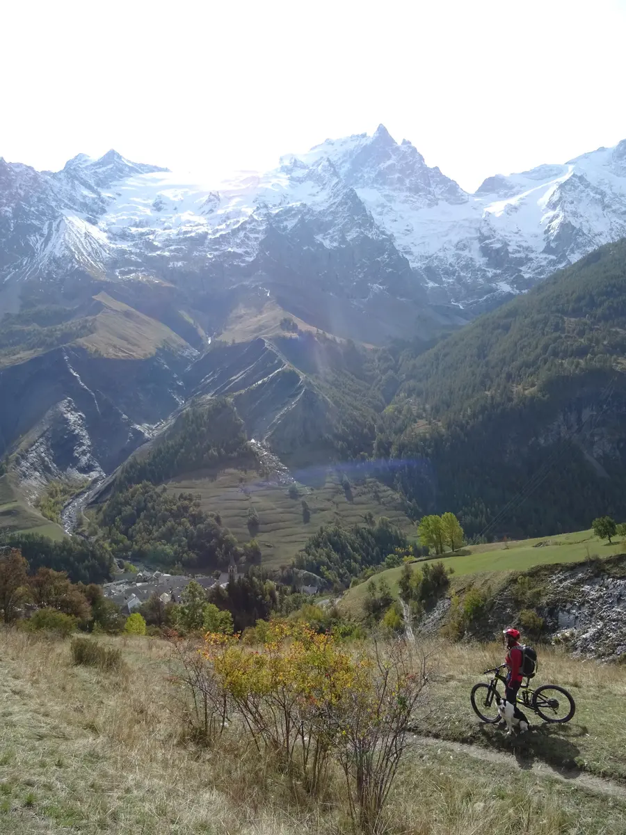
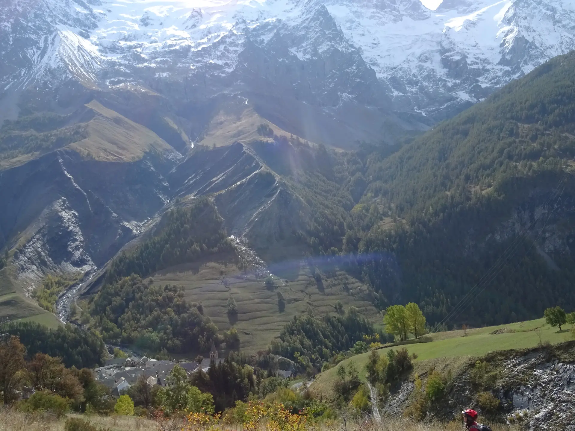
Continue towards Ventelon.
Turn right in the village to reach the plateau.
Two hairpin bends down, take the staircase path to La Grave.
Hard
- Departure
- La Grave
-
-
Difference in height
- 293.969 m
-
-
-
Plain text period
- From 01/05 to 30/11 daily.
-
-
-
Documentation
- GPX / KML files allow you to export the trail of your hike to your GPS (or other navigation tool)
-
- See all reviews
- 294 meters of difference in height
-
- Maximum altitude : 2076 m
- Minimum altitude : 1486 m
- Total positive elevation : 294 m
- Total negative elevation : -619 m
- Max positive elevation : 251 m
- Min positive elevation : -29 m
