Leaving the mountain bike center at Monêtier-les-Bains, climb up the valley floor towards Le Lautaret and reach the Valois tunnel.
Turn right for a steep climb to the road. Follow the road for 1km.
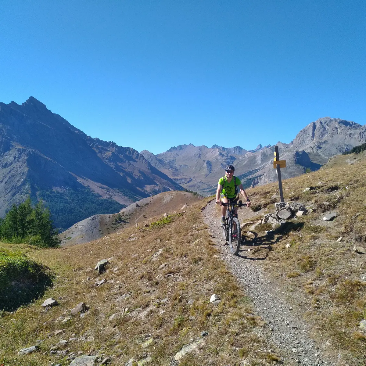
To the right, a short, steep climb through the forest, then follow a small balcony path (Chemin du Roy) to Alpe du Lauzet.
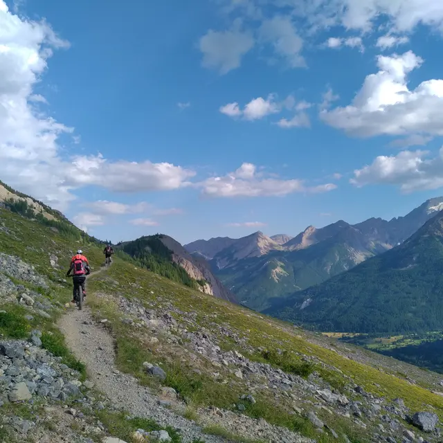
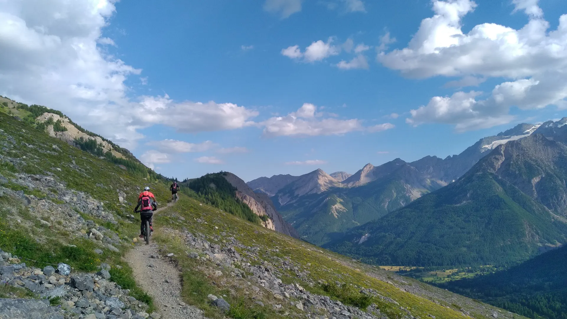
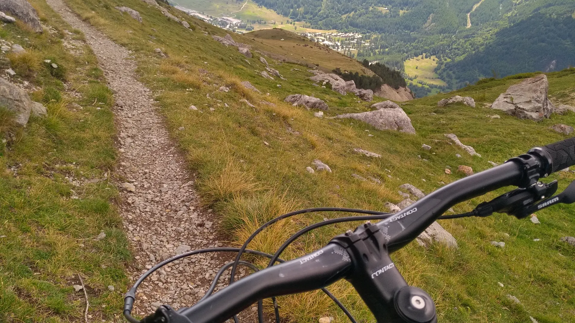
Follow the GR 50 up the mountainside below the Aiguillette du Lauzet.
Don't miss the technical climb on the left after the Chardoussier torrent. Cross the Puy Chevalier mountainside until you reach the top of the Bois de Saint Joseph.
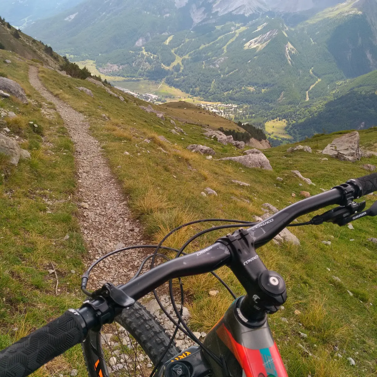
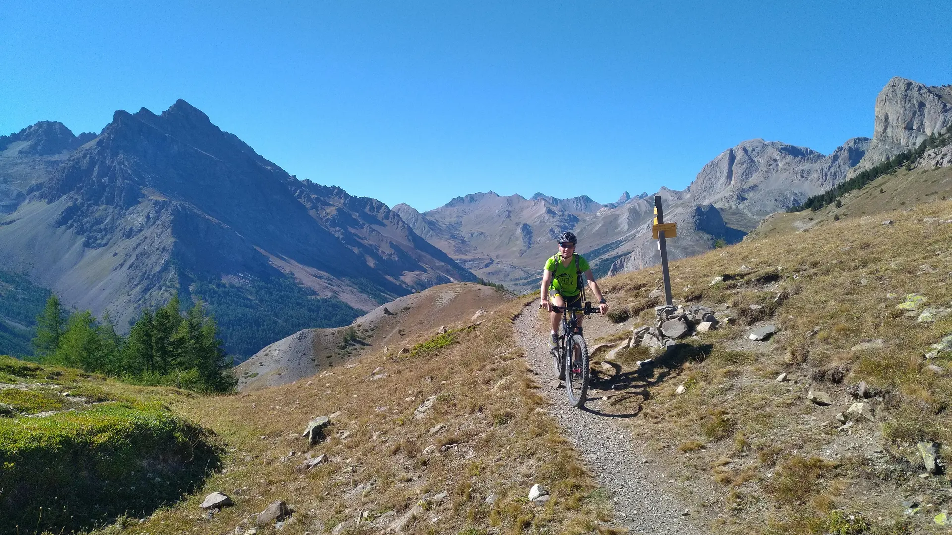
At this point, leave the GR 50 for a downhill path on the right to Monêtier.
Hard
Read more