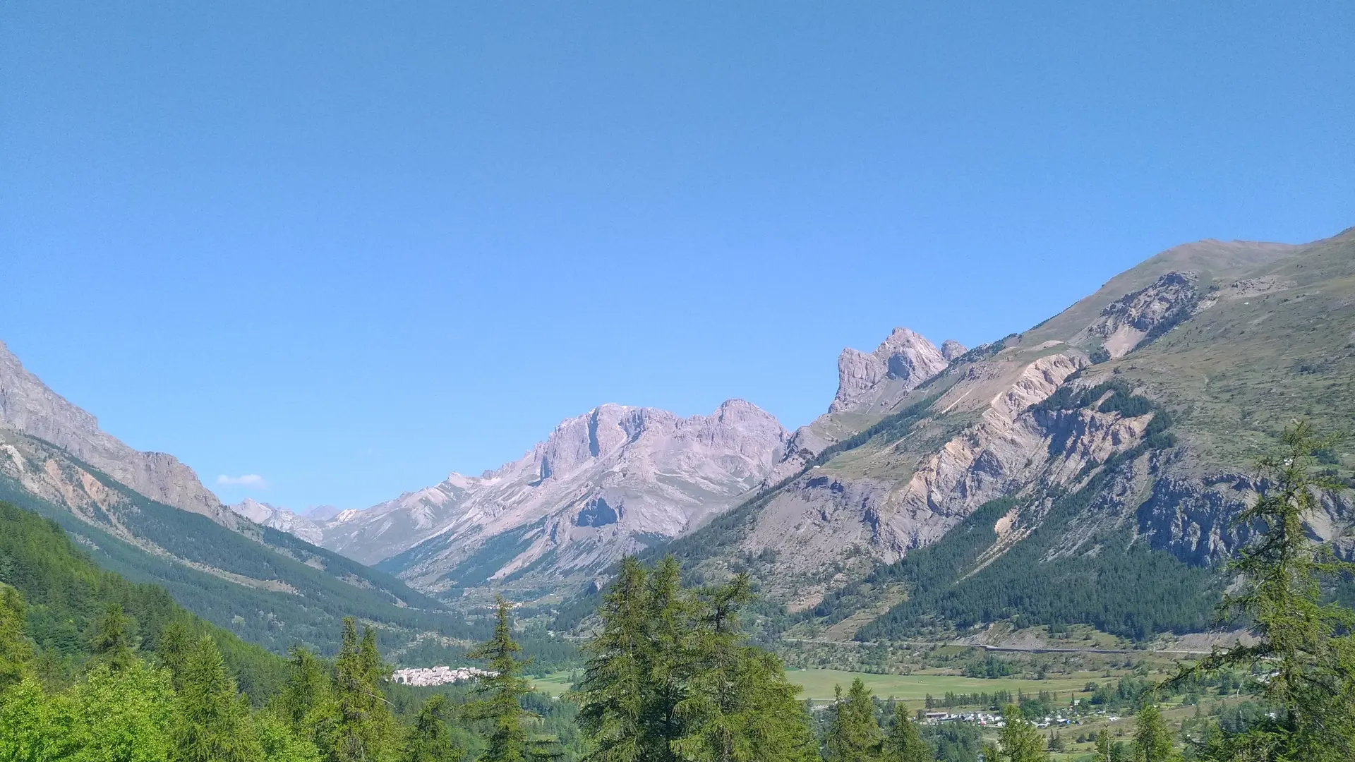
Leaving the mountain bike center in Monêtier-les-Bains, head for Le Casset on the carriage road,
Cross the Grand Tabuc stream, then turn left along the left bank.
Cross the bridge on the left,
turn right at the second intersection, then continue straight ahead on the dirt track until you cross the stream.
Reach the Grand Tabuc stream, cross the first bridge, then the second, and then the 5 hairpins of the carriageway.
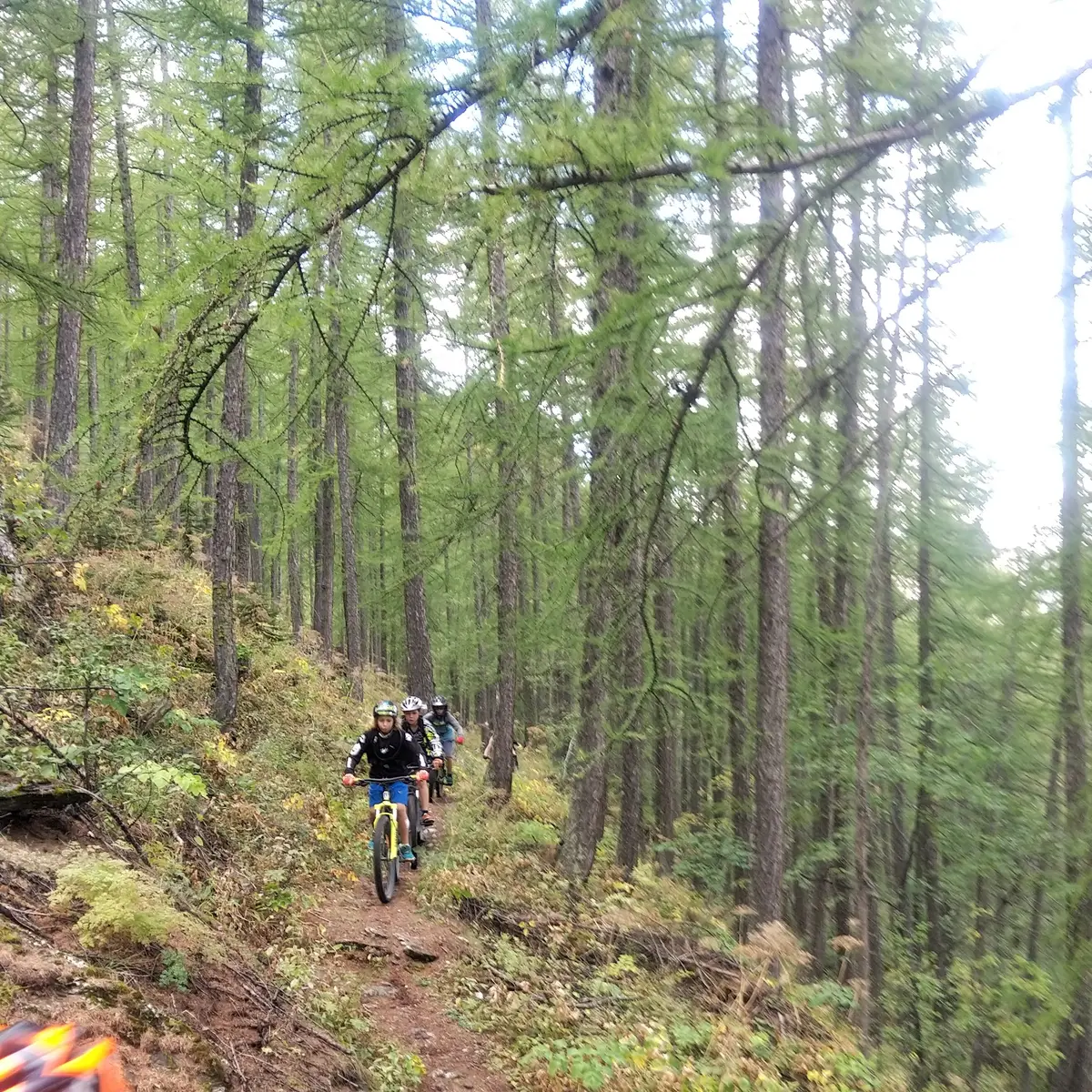
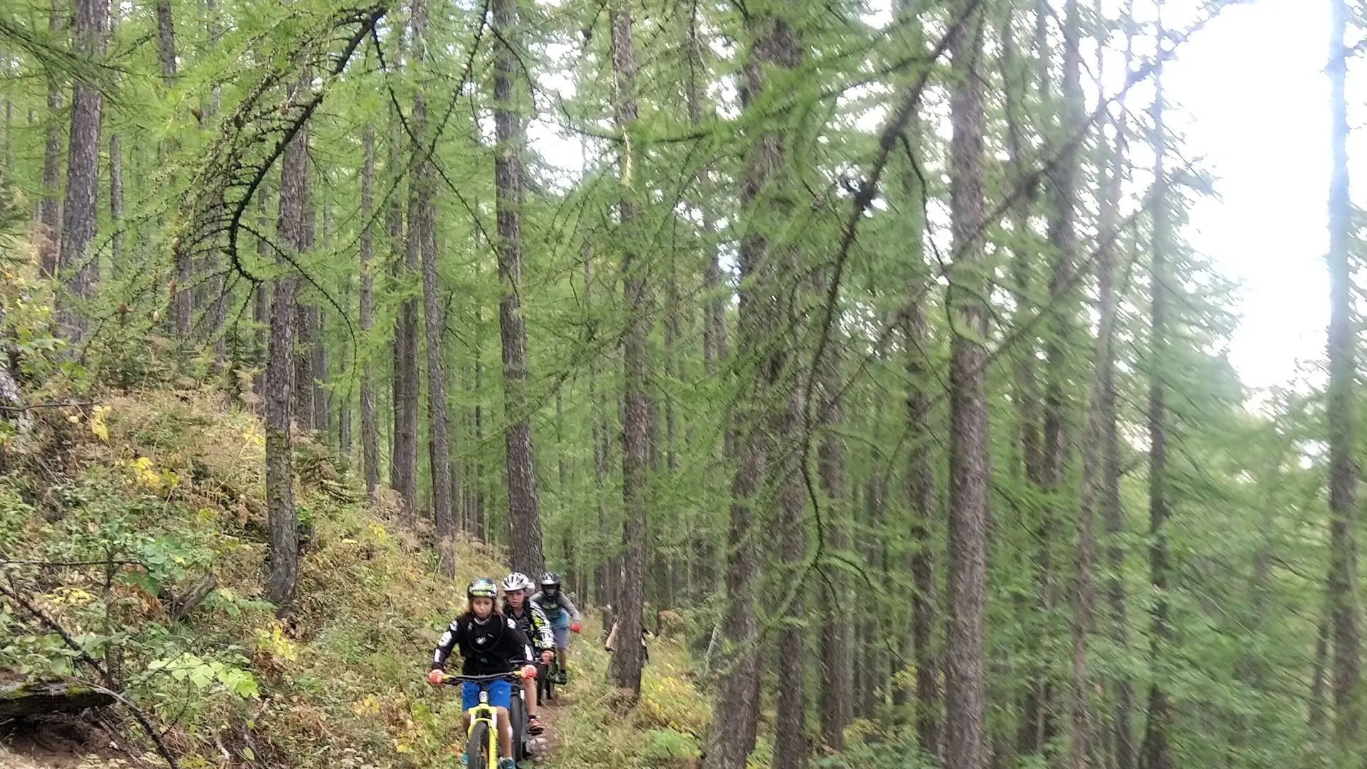
Turn sharp left to reach a path on the side that enters the forest. The route then joins a section of the GR 54.
Leave the GR for a flanking path and continue through the forest until you reach a clearing at Clot Gaillard. Continue in the same direction and catch up with an old trail,
It leads to the enduro trails of the Monêtier ski area below the Bachas chairlift. Follow these trails to the foot of the Bachas chairlift.
Hard
Read more