- Voir les favoris
N°31 Chantemerle - Briançon
Sport, Cycling sports, Cycle tourism route
in Briançon
6.2
km
-
A downhill walk for the whole family.
-
Departure from Chantemerle, Serre d'Aigle.
Cross to the right bank of the Guisane as far as Pont Carle.
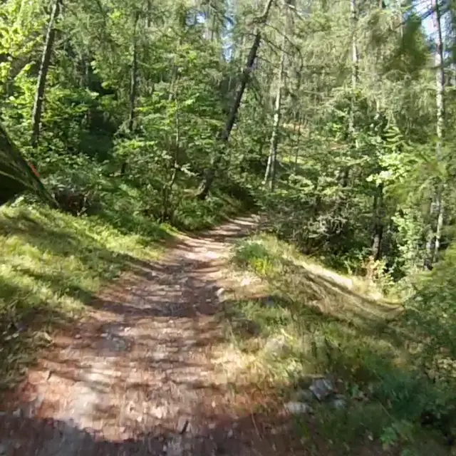
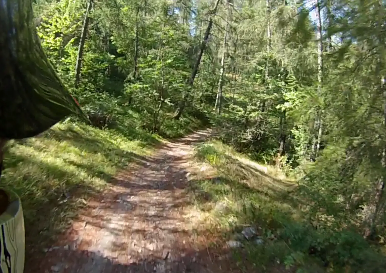
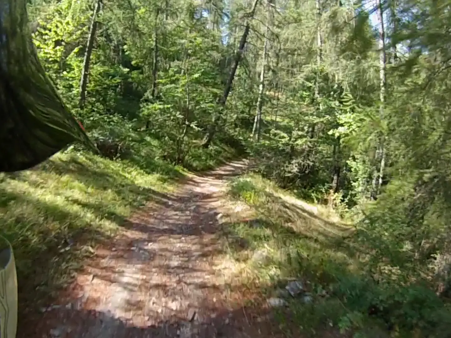
Rejoin the left bank, then descend to Ribière.
Go up a few metres on the road before finding a path leading down to the right.
finish in Briançon at the Prorel Télécabine.
Very easy
- See all reviews
- 67 meters of difference in height
-
- Maximum altitude : 1376 m
- Minimum altitude : 1213 m
- Total positive elevation : 67 m
- Total negative elevation : -215 m
- Max positive elevation : 16 m
- Min positive elevation : -49 m
