From the Pont des Amoureux, climb up along the left bank of the Clarée. Continue to Val des Prés.
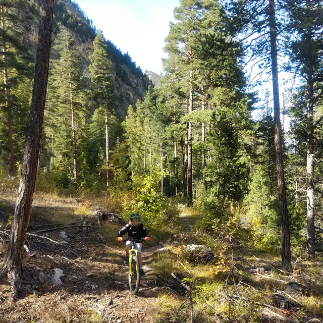
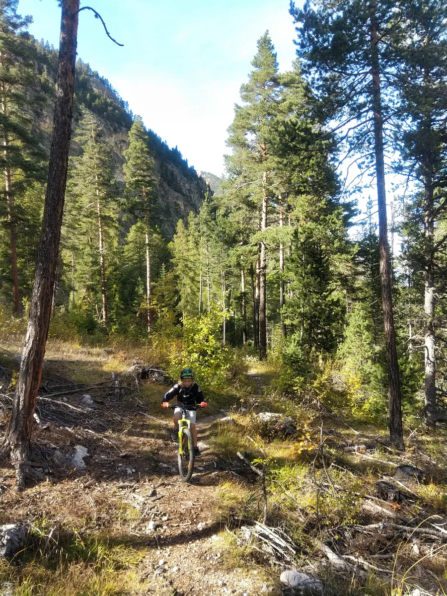
At La Draye, switch to the right bank and climb up the Chemin du Granon,
At the first bend to the right, continue left along a path.
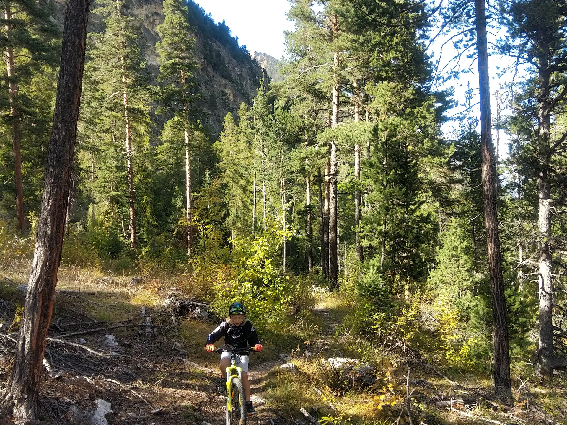
Return to Val des Prés, le Rosier and la Vachette, alternating downhill and uphill, sometimes technically. Crossing the torrent de Ruine is made difficult by a mudslide. Dismount to cross the torrent bed.
Cross the route de Montgenèvre and climb up into the Bois des Bans, which is cut off by a large mudslide. From La Vachette, take route 41 back to Pont des Amoureux via Chemin des Noisettes.
Descend close to the Durance (a very difficult passage) to Les Alberts. Cross the plain to reach the Pont des Amoureux.
Medium
Read more