53 R

n°53 Tour of the Briancon forts

Sport, Cycling sports, Mountain biking itinerary in Val-des-Prés
20.1 km
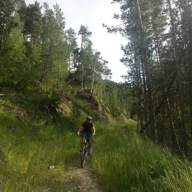
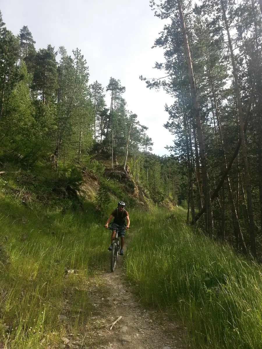
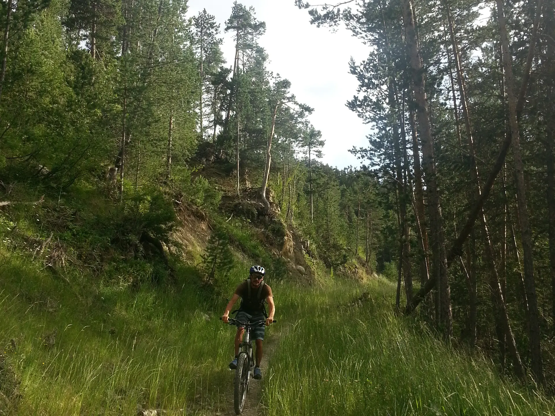
  • A beautiful route that allows you to discover the area around Briançon, with a succession of short, sustained climbs and technical descents.

  • Leaving the Champ de Mars, climb uphill to the Salettes fort.
    Just before the fort, climb left along a steep, stony path for 150m.
    Turn right onto a beautiful balcony path that leads to La Vachette.
    Cross the hamlet and then the main road.
    Take a forest track on the side of the road to the Fort des Têtes,
    take the road and then a path to the Lac Baldy lookout.
    go back up to the D902 road and climb the military road to Fort d'Anjou, then switch to Fort des Têtes.
    Descend to Pont...
    Leaving the Champ de Mars, climb uphill to the Salettes fort.
    Just before the fort, climb left along a steep, stony path for 150m.
    Turn right onto a beautiful balcony path that leads to La Vachette.
    Cross the hamlet and then the main road.
    Take a forest track on the side of the road to the Fort des Têtes,
    take the road and then a path to the Lac Baldy lookout.
    go back up to the D902 road and climb the military road to Fort d'Anjou, then switch to Fort des Têtes.
    Descend to Pont d'Asfeld
    cross the Cité Vauban to finish at the Champ de Mars.

    Hard
  • Departure
    Val-des-Prés
  • Difference in height
    1034.16 m
  • Documentation
    GPX / KML files allow you to export the trail of your hike to your GPS (or other navigation tool)
1034 meters of difference in height
  • Maximum altitude : 1702 m
  • Minimum altitude : 1278 m
  • Total positive elevation : 1034 m
  • Total negative elevation : -931 m
  • Max positive elevation : 226 m
  • Min positive elevation : -177 m