54 V

N°54 les balcons de la Cerveyrette

Sport, Cycling sports, Mountain biking itinerary in Briançon
14.8 km
  • Relatively easy but long descent (not recommended for children). Numerous views from the summit.

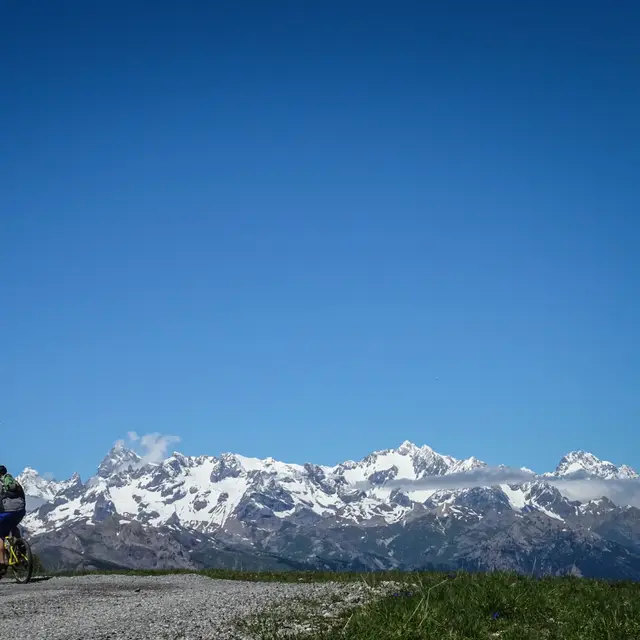
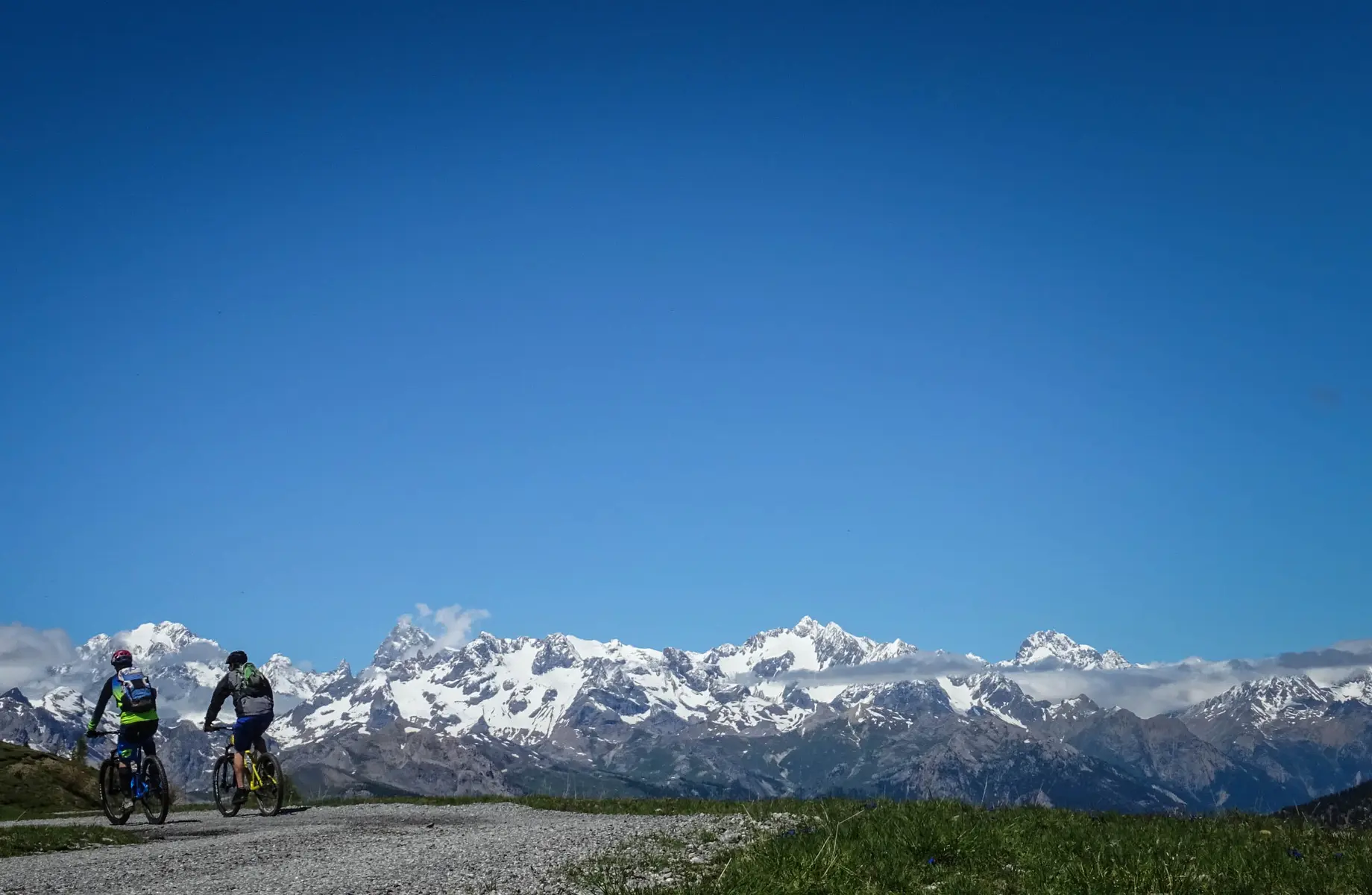
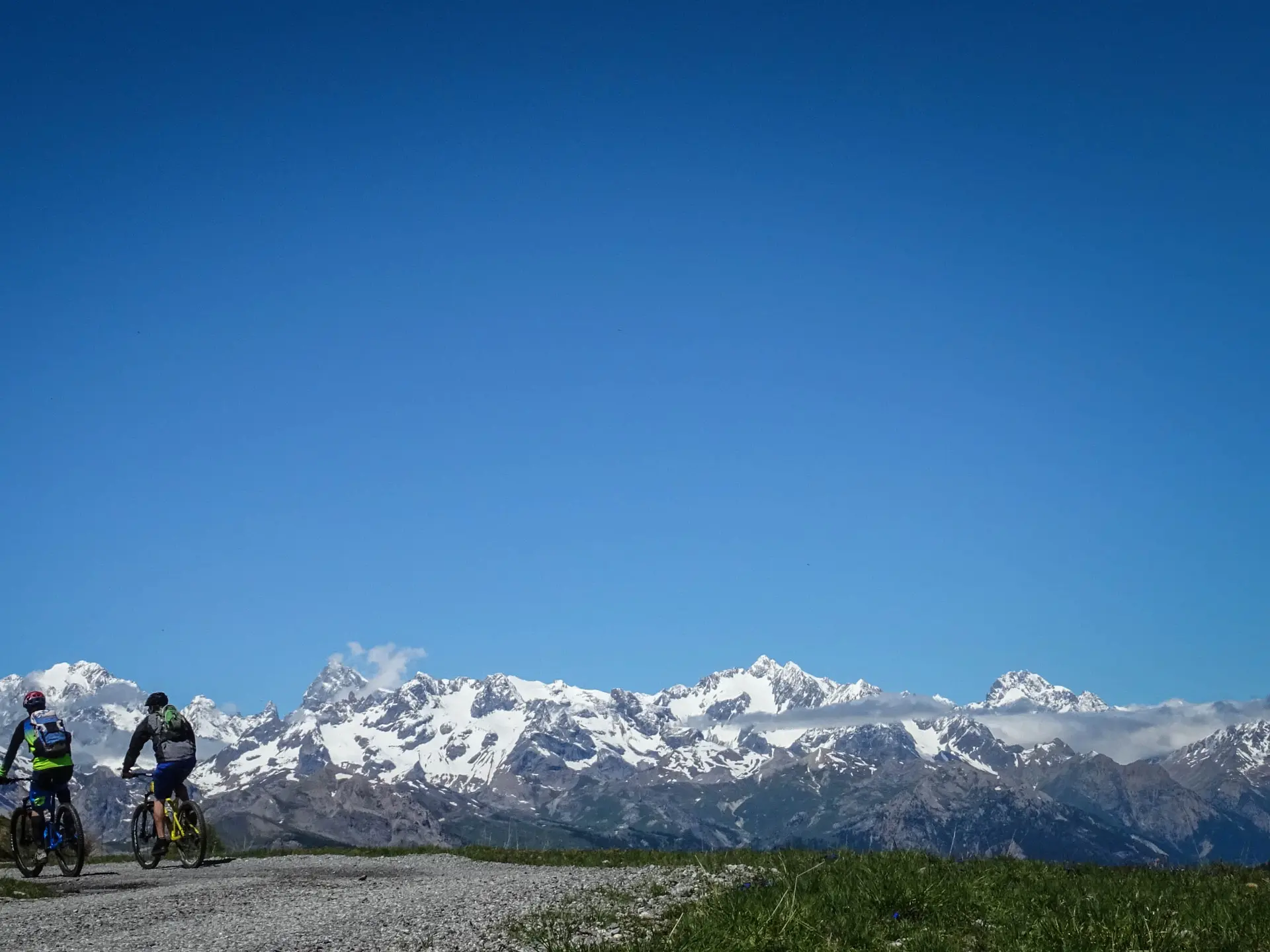
  • Start from Les Gondrans (top of Montgenèvre ski lift) or climb up the forest road from Montgenèvre (D+ 600m). From the top of the Col des Gondrans, follow the old military road on the south-facing slope,
    as far as Fort d'Anjou. Then switch to the Briançon side, passing the Fort du Randouillet and the Fort des Trois Têtes.
    Take the track down to the Asfeld bridge
    climb back up to the Cité Vauban, and cross it to reach the Champ de Mars.

    Very easy
  • Departure
    Briançon
  • Difference in height
    181.293 m
  • Documentation
    GPX / KML files allow you to export the trail of your hike to your GPS (or other navigation tool)
181 meters of difference in height
  • Maximum altitude : 2396 m
  • Minimum altitude : 1262 m
  • Total positive elevation : 181 m
  • Total negative elevation : -1234 m
  • Max positive elevation : 37 m
  • Min positive elevation : -286 m