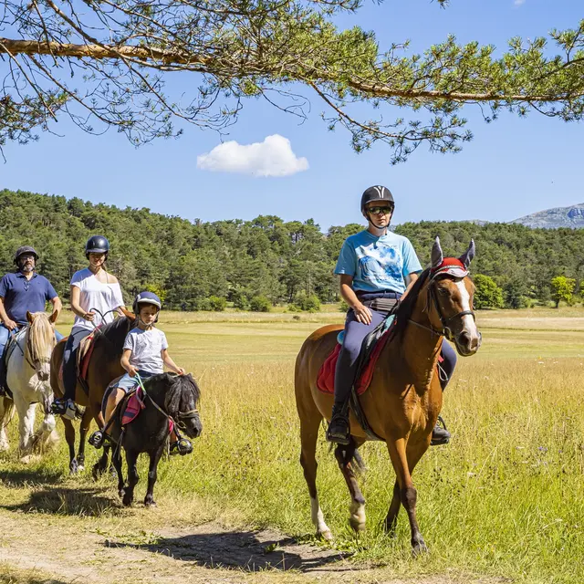
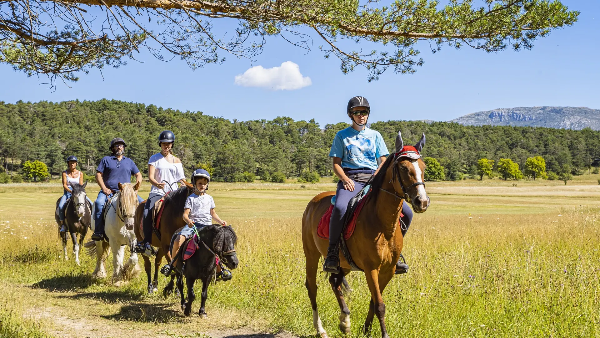
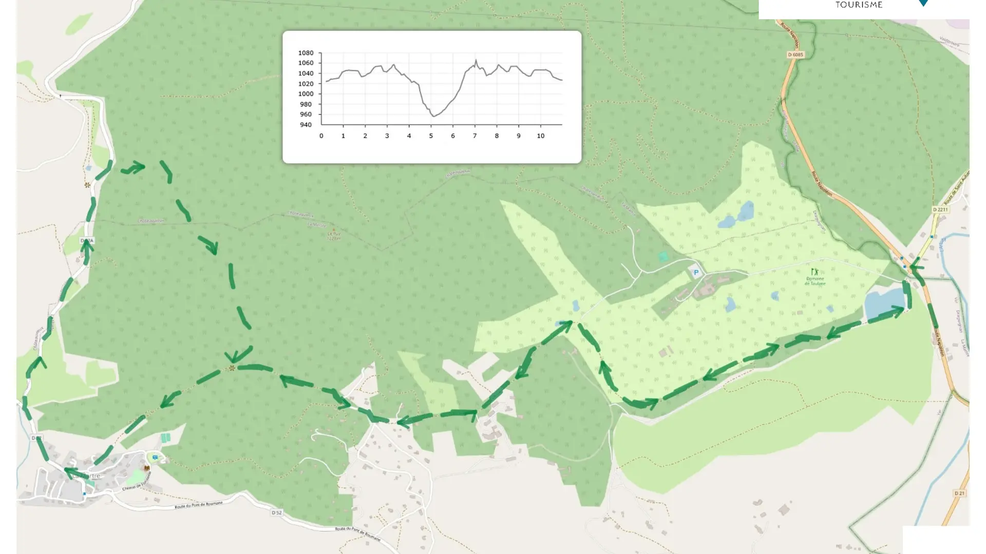
France's first ‘Grand Itinéraire Equestre’, 350 km long, crossing 4 départements and 2 regions. Here's an optional route through La Martre from Le Logis du Pin and Châteauvieux.
On a wide track, go along the Domaine de Taulane, arriving at l'Adrech follow the yellow and white markings to the village of La Martre. On leaving La Martre, take the Chemin des Demueyes. After a few kilometres, turn right onto the white and green signposted track to join the Coulet de La Martre and return to the Logis du Pin.
Read more
Plain text period
All year round.
Before horseriding, check whether access to forest areas is authorised: https://www.risque-prevention-incendie.fr/var/.