Local loop of 12.4km in the Côte Bleue massif. An exceptional panorama over Carry-le-Rouet and its viaduct.
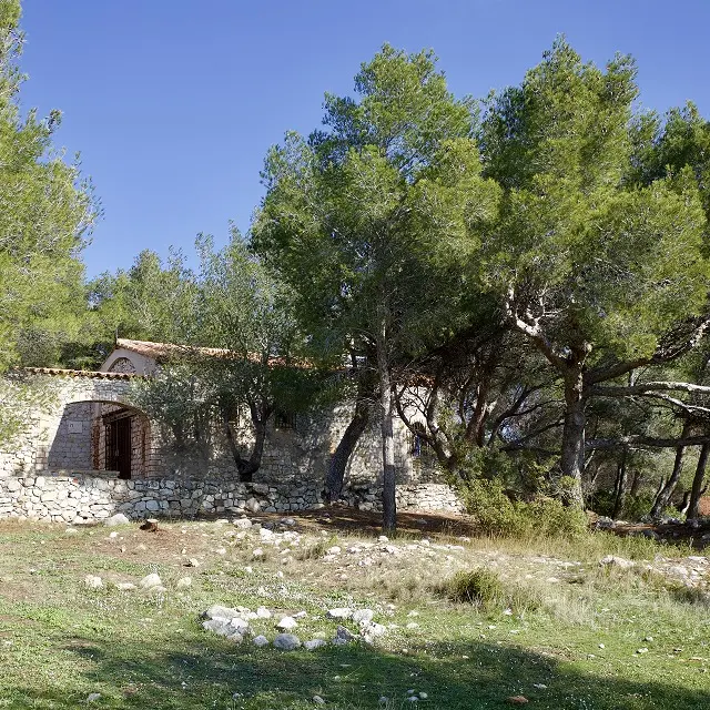
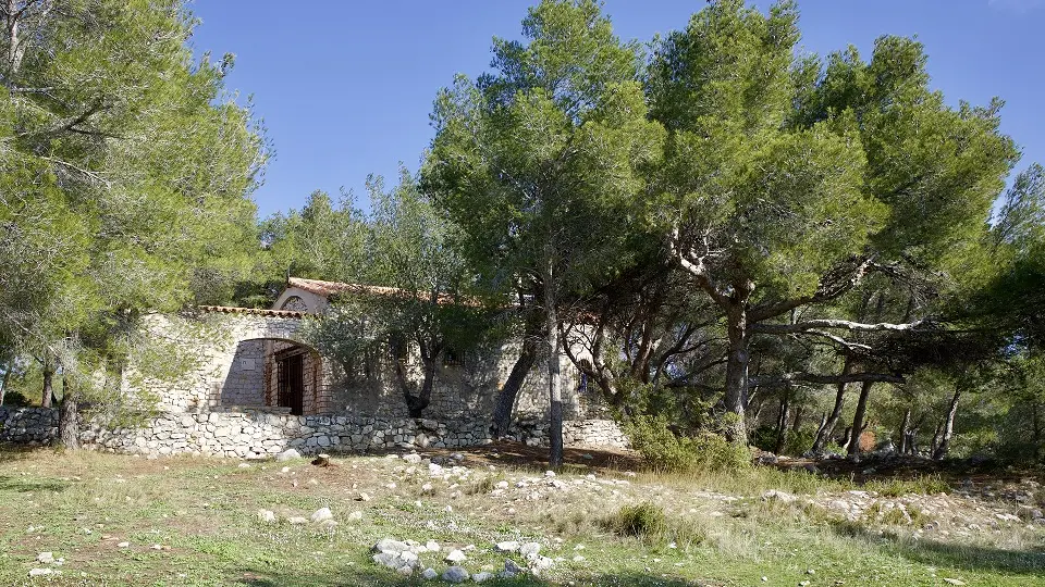
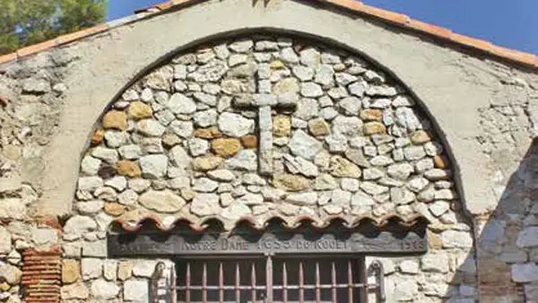
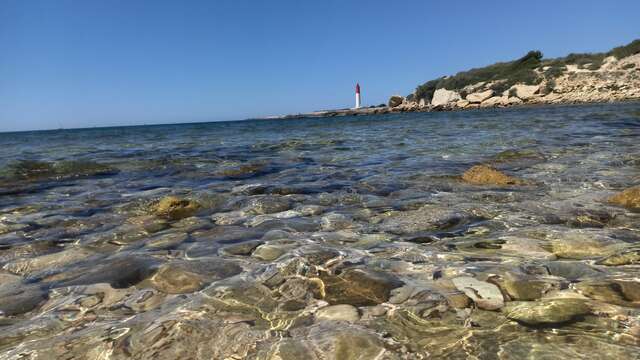
This hike, starting from the Rouet beach, takes in the superb Notre Dame du Rouet chapel on the promontory, with a beautiful view of the Rouet calanque and its viaduct on one side and the Rouet bay and beach on the other. The Plaine du Bon Jean fell prey to flames on July 15, 2016. Without vegetation, the white limestone cliffs stand out even more, making this valley inaccessible off the trail. The ridge route offers a beautiful view of Marseille and its islands.
Read more
Plain text period
All year round.
Except in summer, from June 1 to September 30, when access to the massifs is prohibited.
For more information, call 0811 20 13 13.