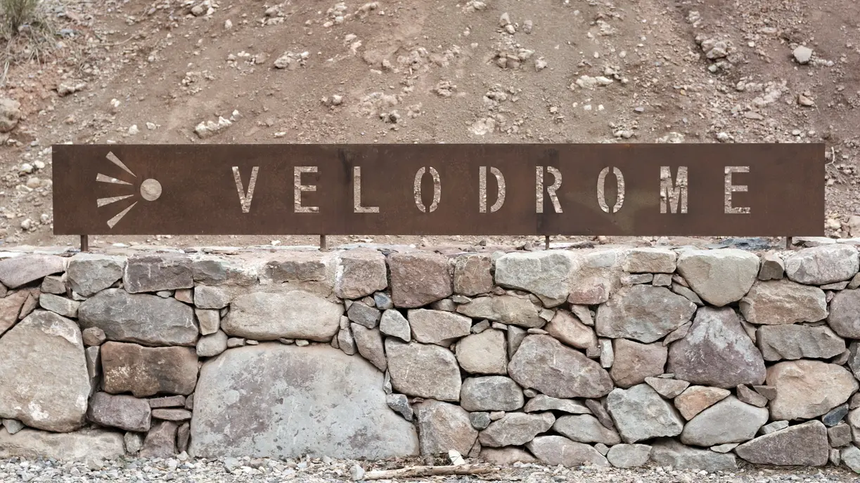
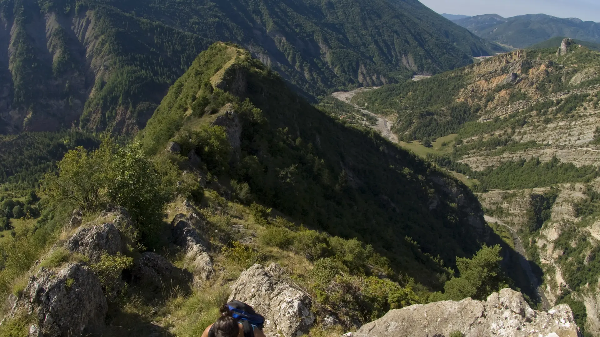
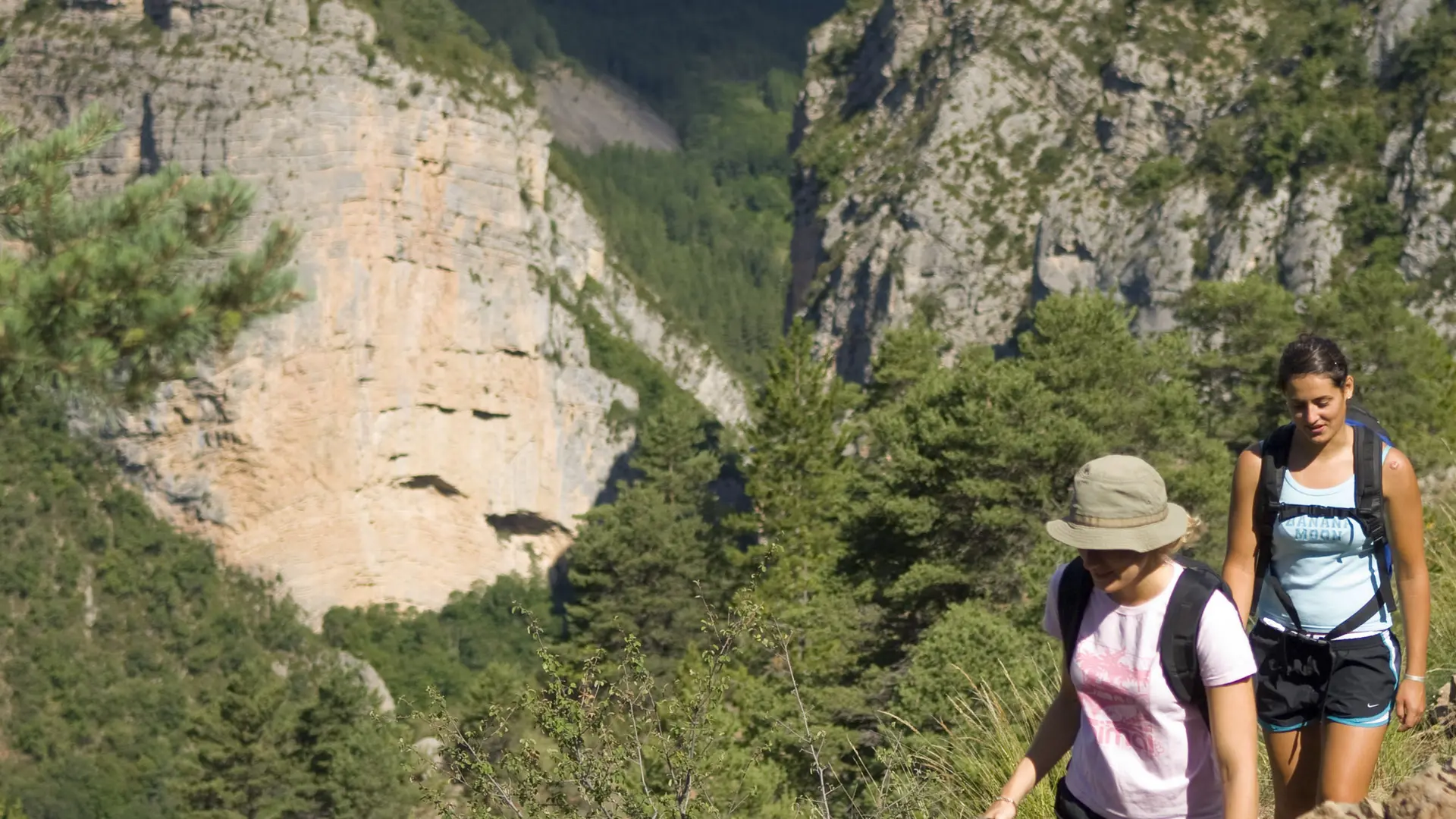
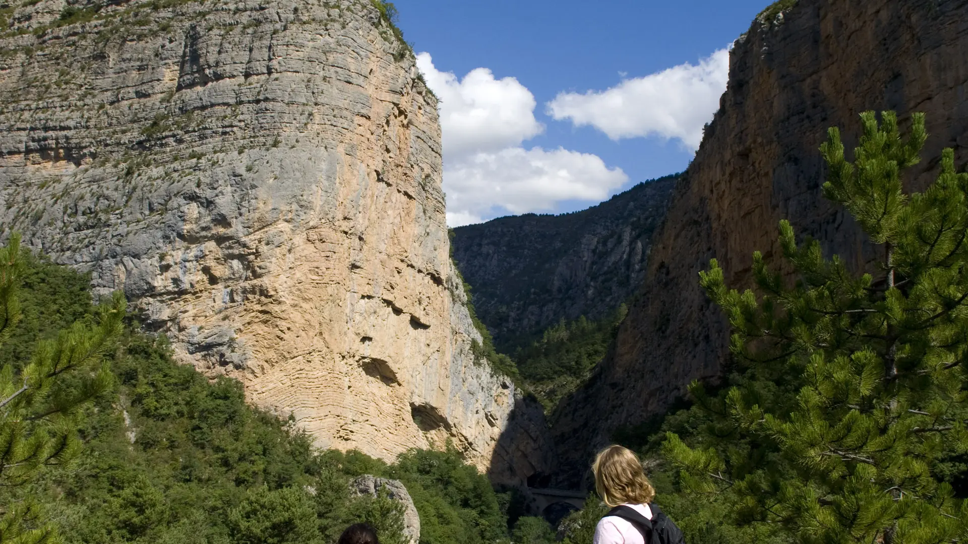
Beautiful hike from the Clues de Barles towards the impressive panorama of the Vélodrome d'Esclangon via the Refuge d'Art du Vieil Esclangon by Andy Goldsworthy. A fairly easy route offering beautiful views in all seasons.
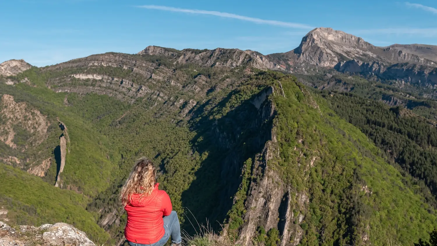
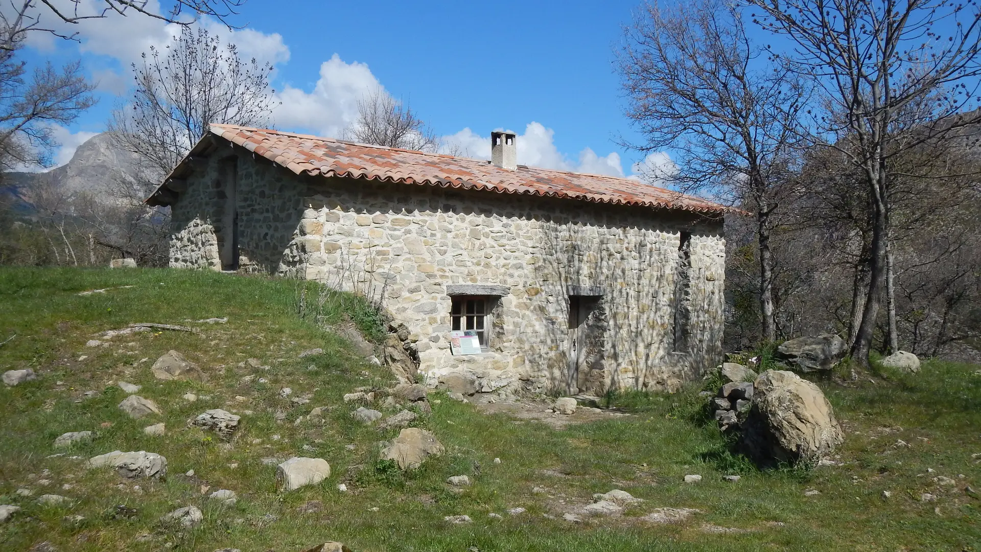
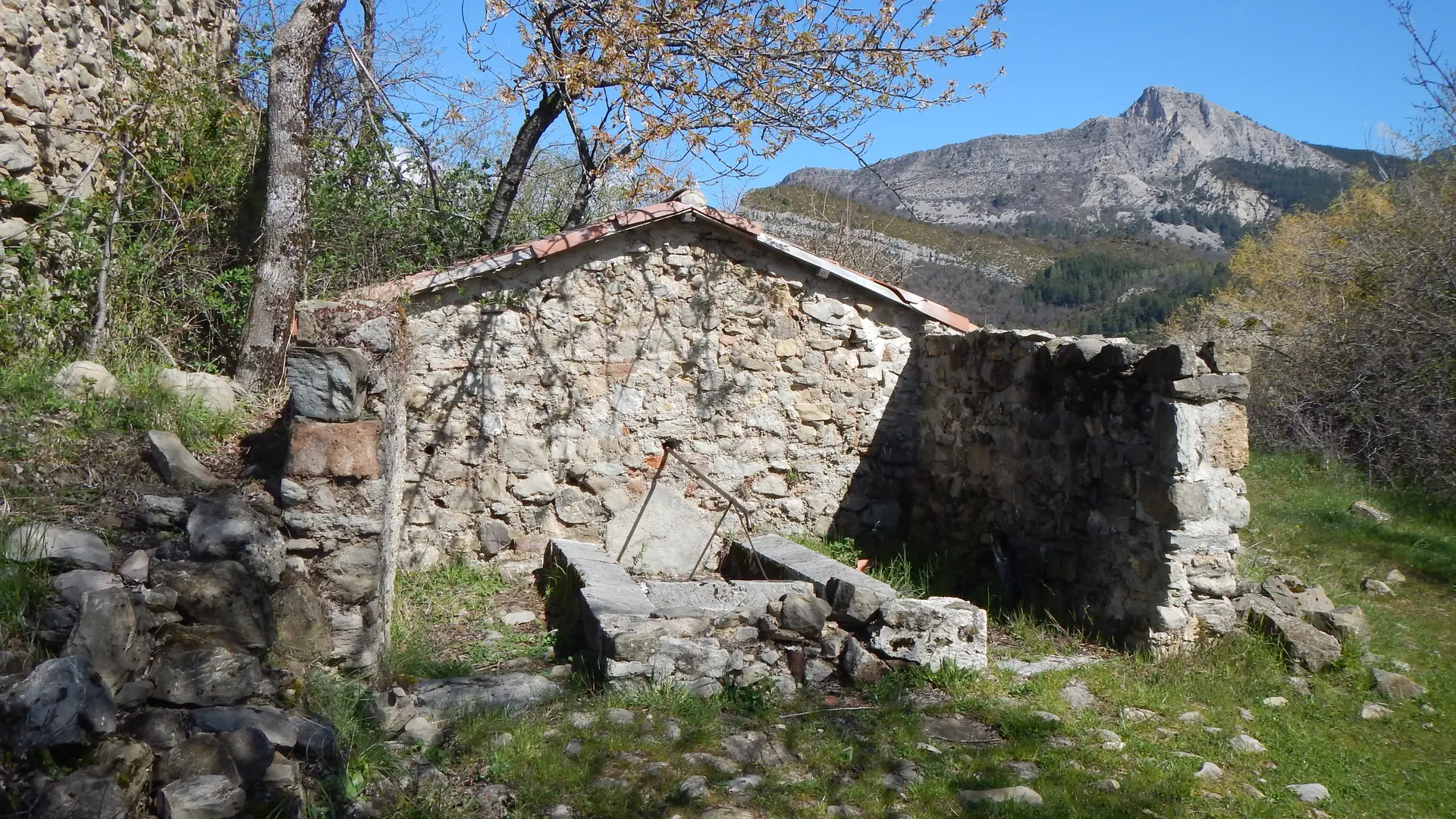
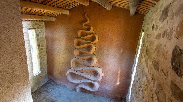
At the entrance to the Clue de Peroué, reach the abandoned hamlet of Vieil Esclangon at the foot of the Blayeul Mountain. After the Refuge d'Art, continue to the Collet viewpoint which offers an exceptional panorama of the velodrome on the right bank of the Bès.
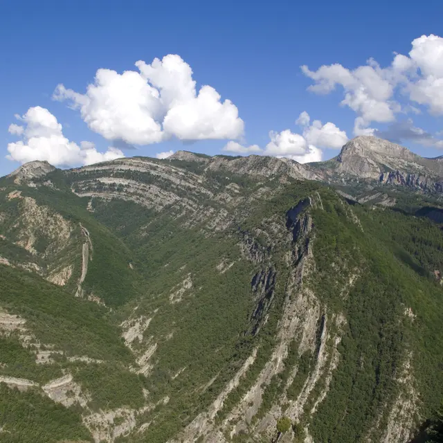
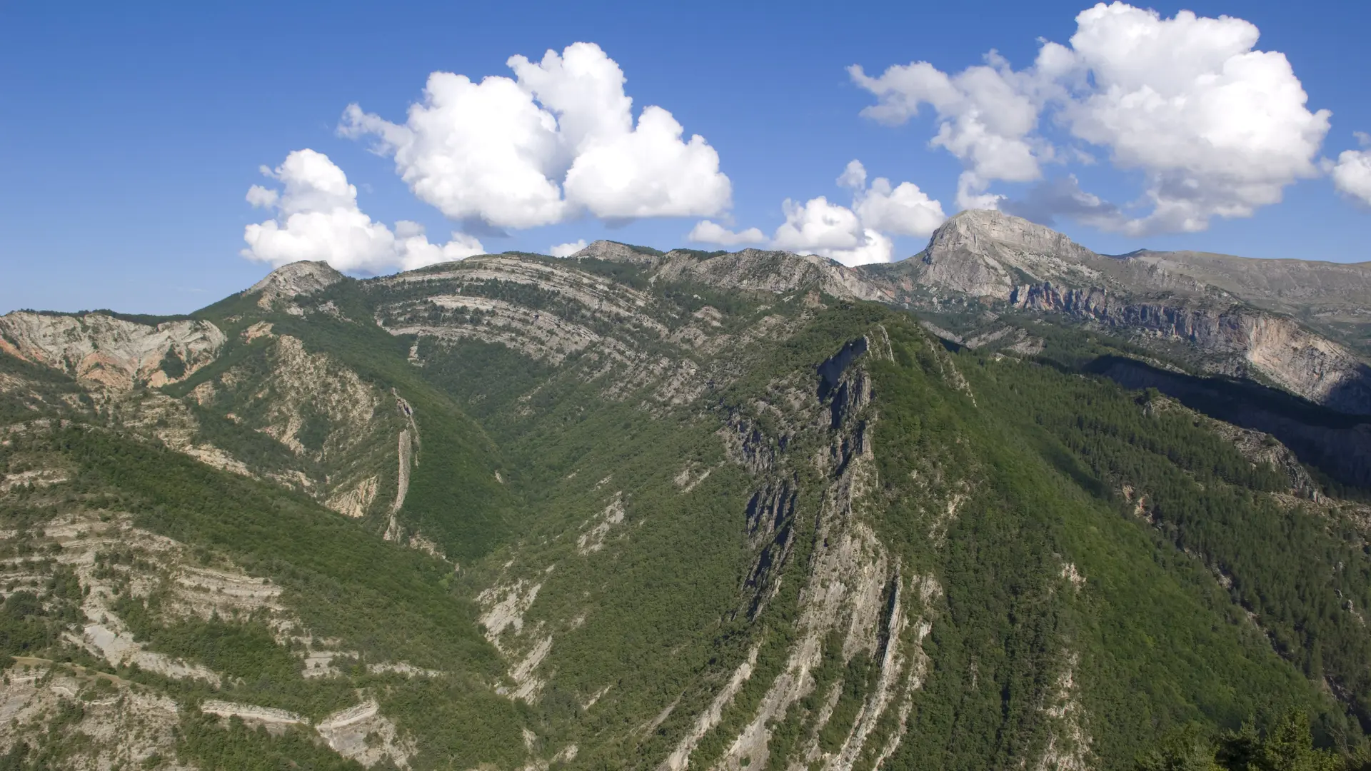
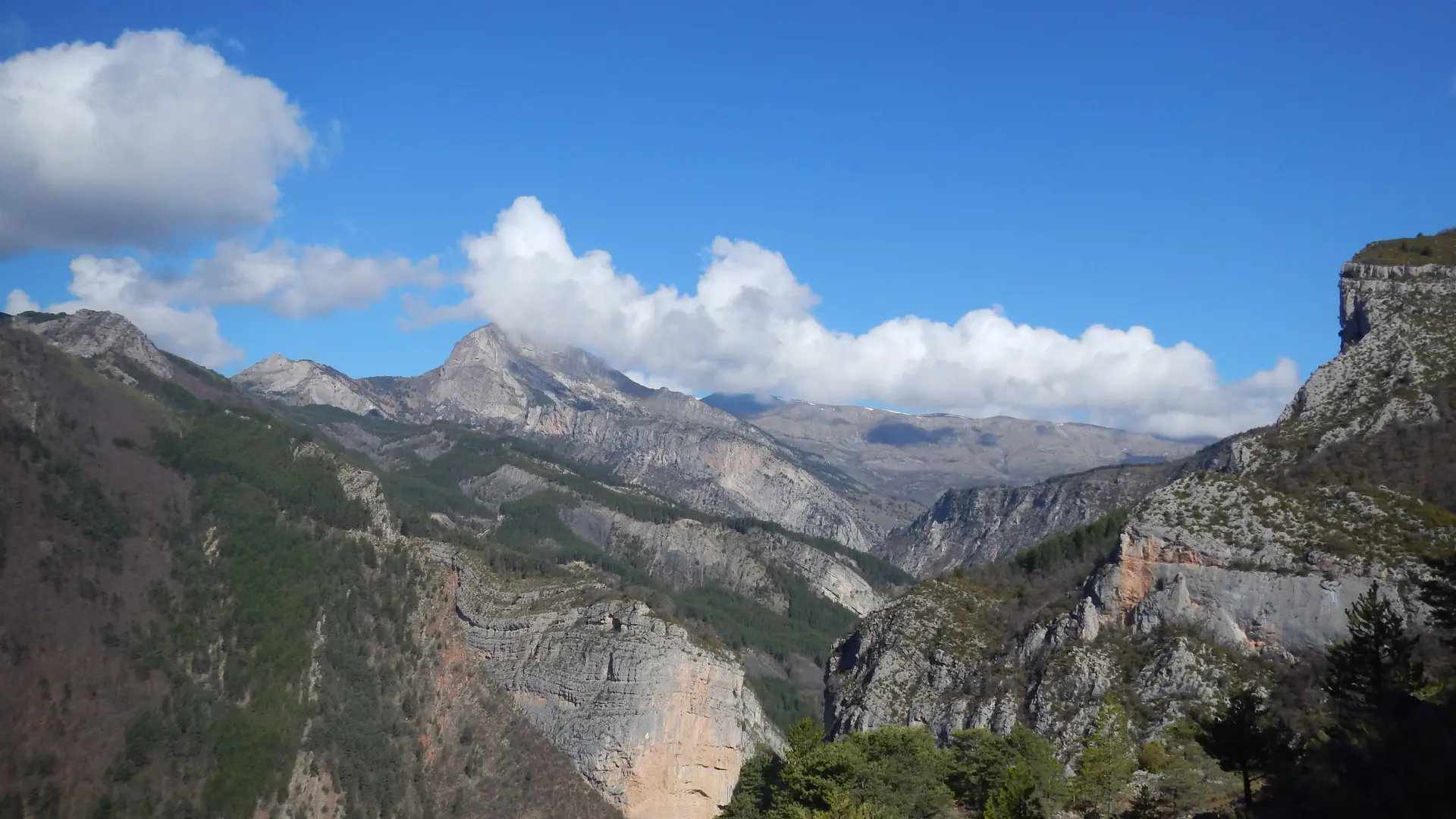
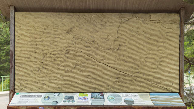
From the top of the Serre hill overlooking the abandoned village of Esclangon, the view to the west opens onto one of the most beautiful geological panoramas in the Alps: the Vélodrome d'Esclangon which is in fact on the Tanaron terroir. This magnificent cirque is formed by continuous deposits for almost 15 million years of sand, clay then pebbles and blocks in a marine basin then emerged. The spectacular aspect of the site comes from the fact that the layers of sediment were deformed as they were deposited in a compression basin. Then erosion did its work highlighting the most resistant layers like the astonishing blade of Facibelle, an extraordinary monolith that emerges from the forest.