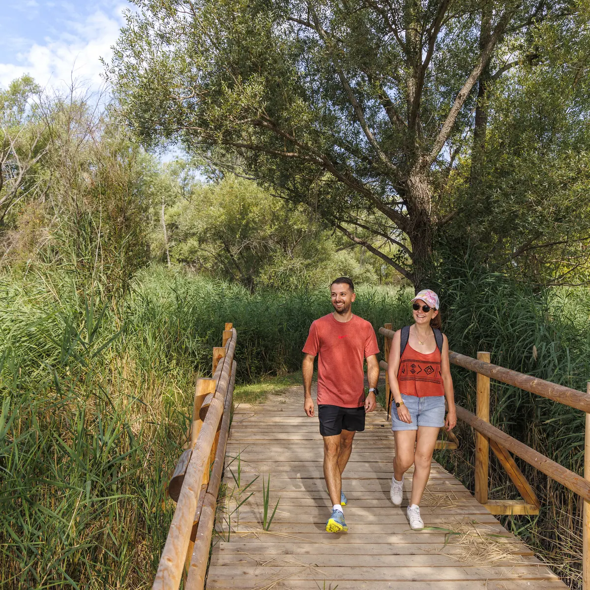
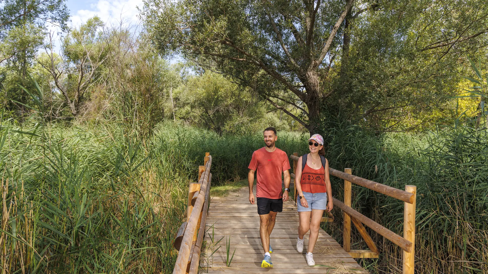
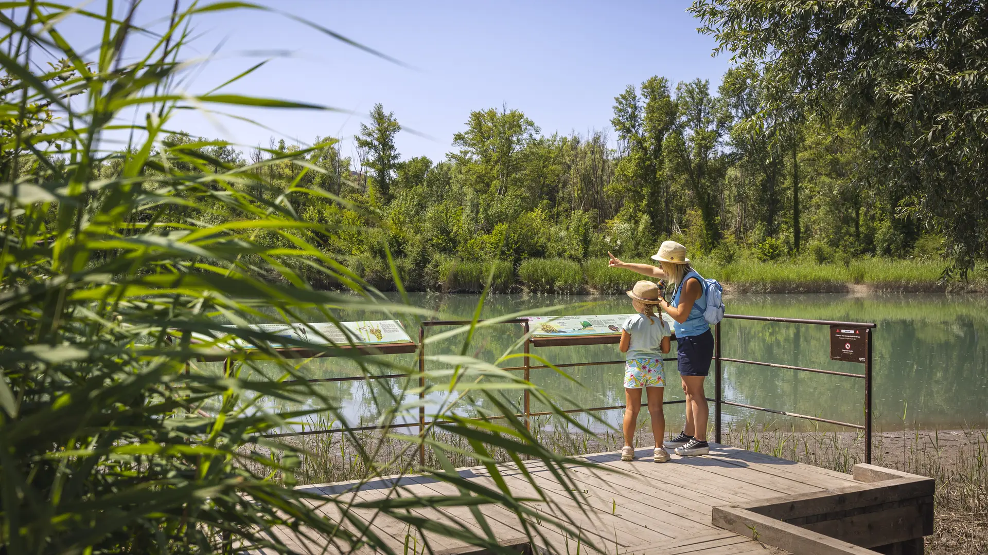
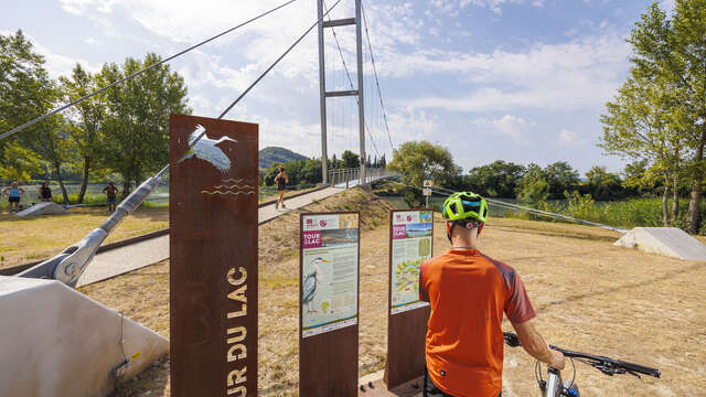
The small Tour du Lac is a trail with almost no elevation gain, along the water, through forests and reed beds. It is an ideal route for a family walk. This natural area with its great wealth of flora and fauna is a little paradise.
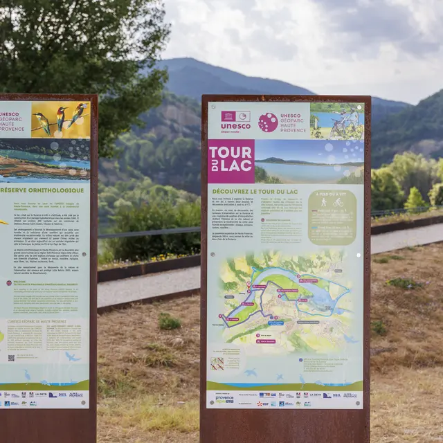
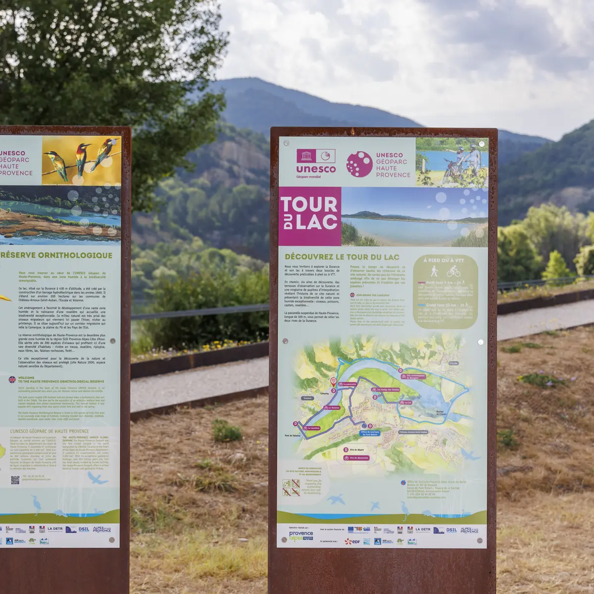
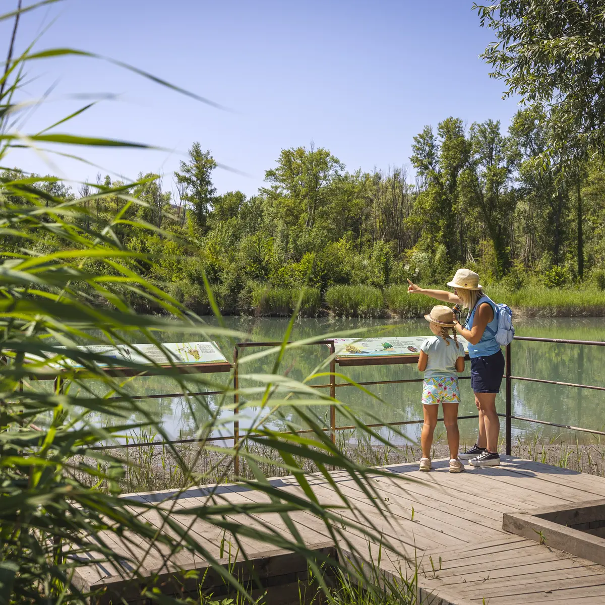
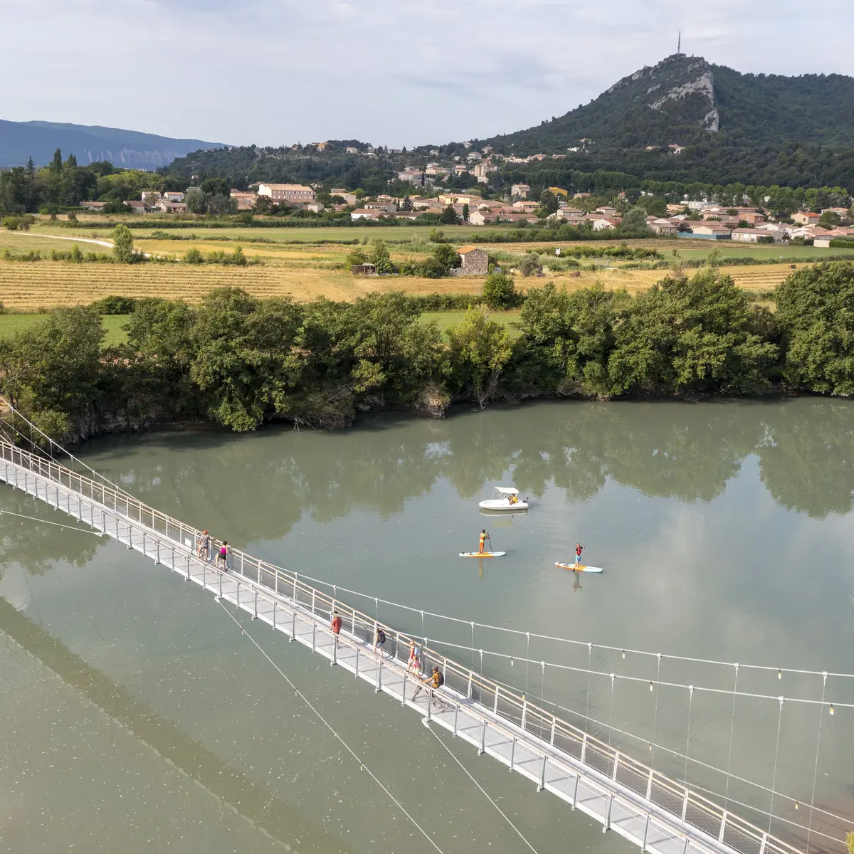
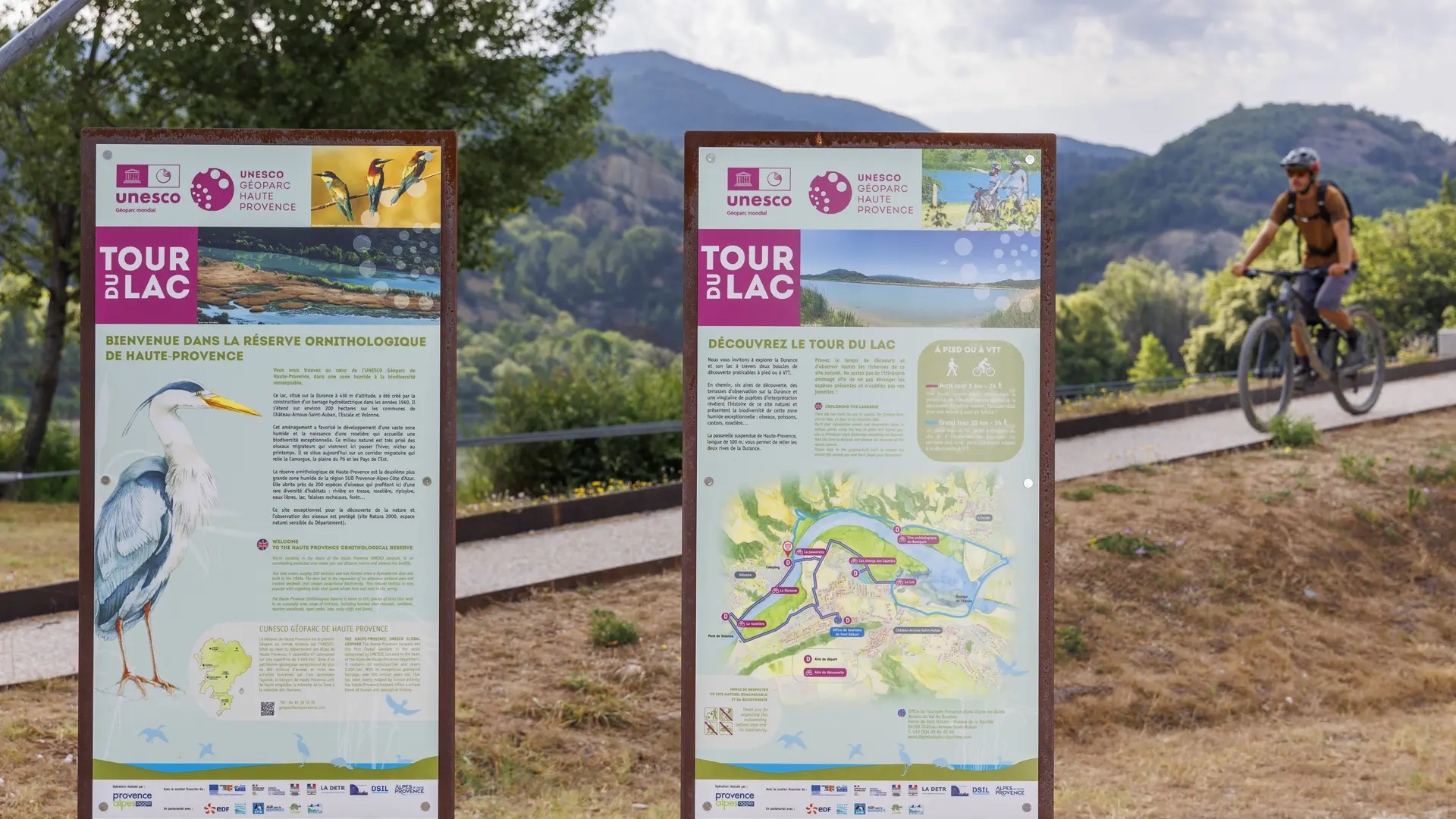
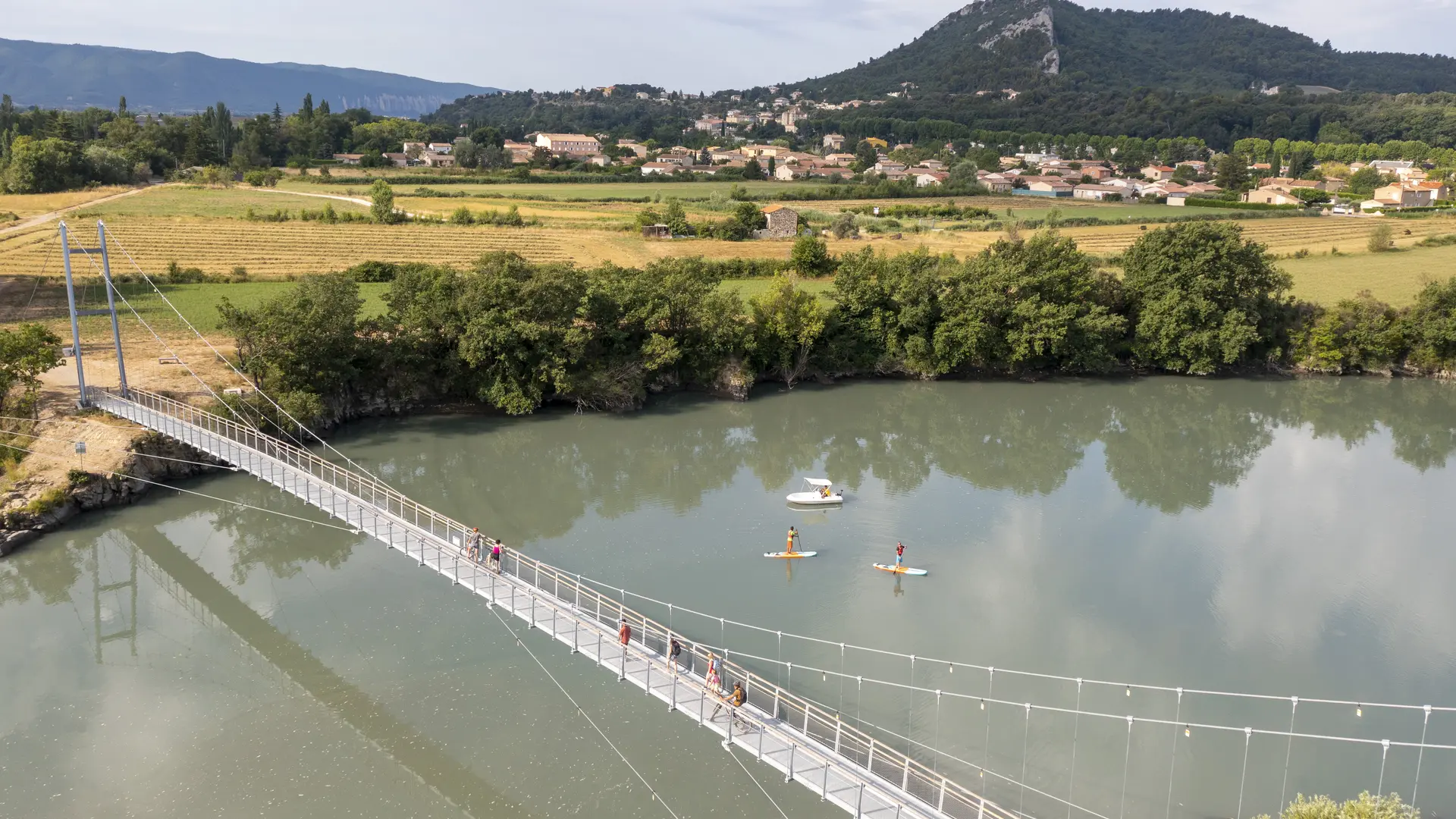
A loop for the general public using the Haute-Provence footbridge, dedicated to discovering the natural environment. Observation terraces and interpretation desks reveal the history of this protected site. Take the time to discover and observe all the riches of this natural site. Do not leave the designated route so as not to disturb the species present in this exceptional wetland: birds, fish, beavers, reed beds... and don't forget your binoculars!
The Escale reservoir was flooded in 1960. Today, 80% filled with silt from the Durance, it has become a remarkable site for bird watching. 170 different species of sedentary and migratory birds have been counted.