From the "La Rivière" inn, follow the signs for Plan de l'Arbre. Turn left on a forest track to reach a viewpoint with a 360° panorama of the surrounding peaks.
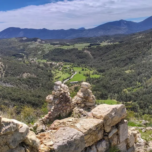
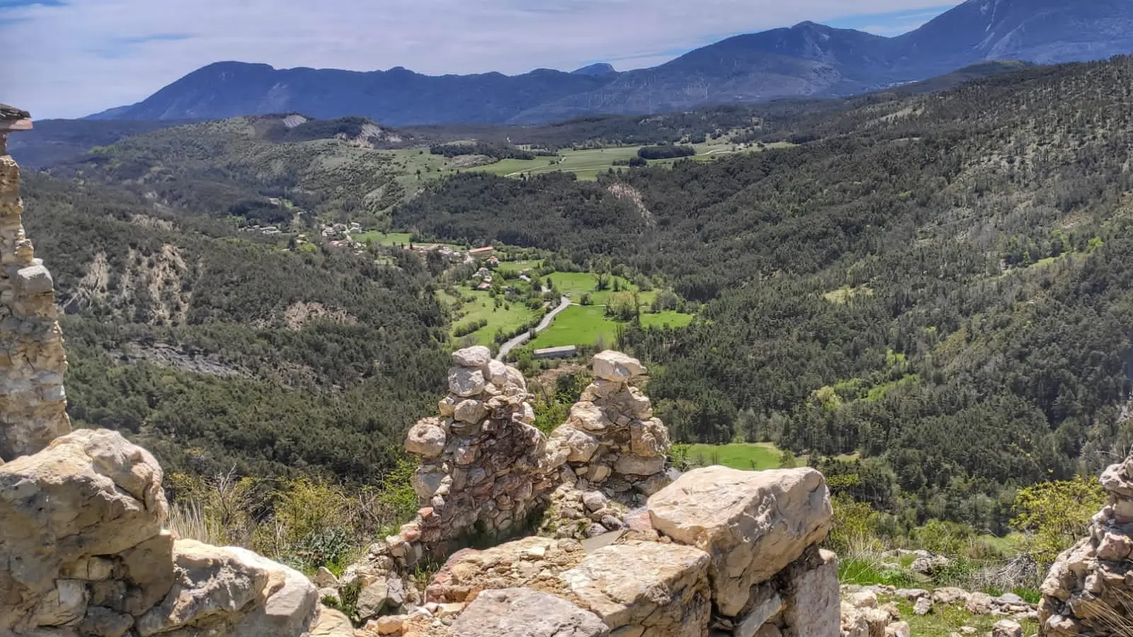
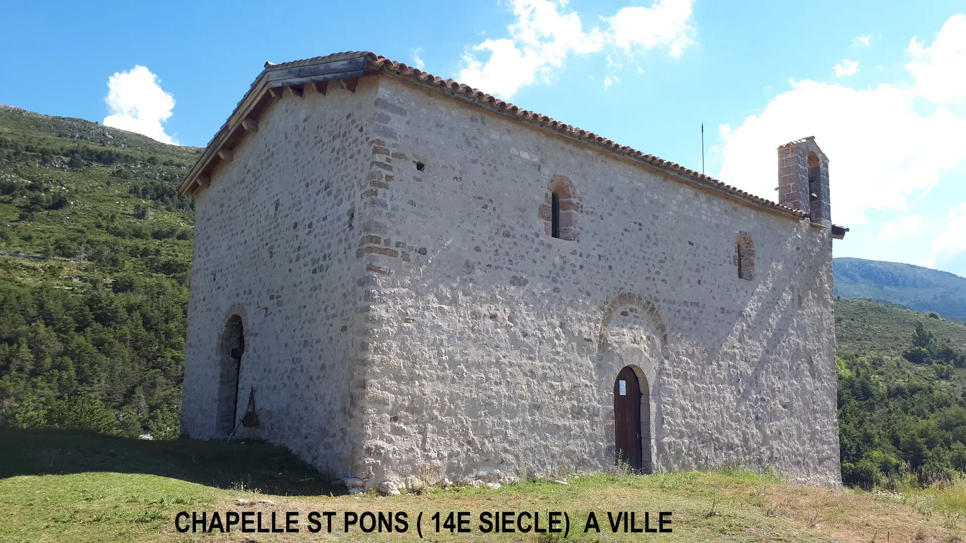
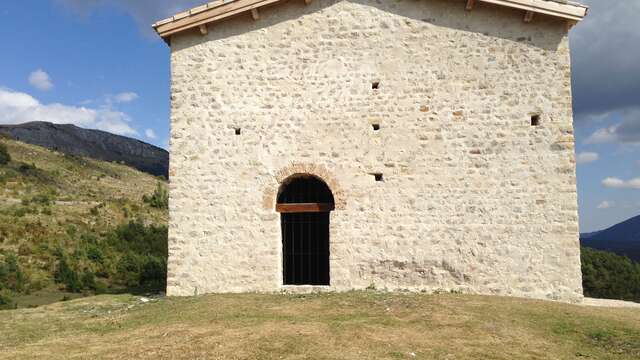
An athletic descent on a monotrace will alert your senses to the valley floor and the opposite slope. A long, shady traverse along the right bank of the Jabron brings you to the 7th-century chapel of St. Pons. Take a well-earned break to contemplate this building, listed as a historic monument in 2006 and a witness to a period rich in religious events. Renovation work is underway to preserve this historic heritage. Continue on to the opposite rocky promontory of the ancient hamlet of Ville. This was once a castral village with a castle, the stones of which were reused to build the houses. Recharge your batteries with this exceptional view of the beautiful Haut-Jabron valley.