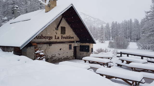
From the Fontcouverte parking lot, take the footbridge opposite the Auberge de la Fruitière. The route starts just after the footbridge, indicated by the signs for Lac Laramon, Lac du Seprent and Refuge Ricou.
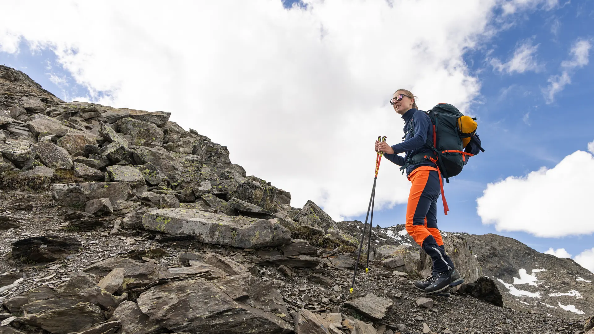
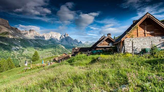
This wide, stony path, with its constant, medium-steep gradient, leads straight up to the refuge de Ricou.
After a first stop at the refuge Ricou, the surrounding panorama is already spectacular: the Cerces and Queyrellin massifs opposite give an impression of immensity.
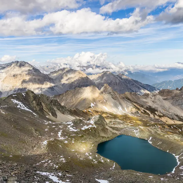
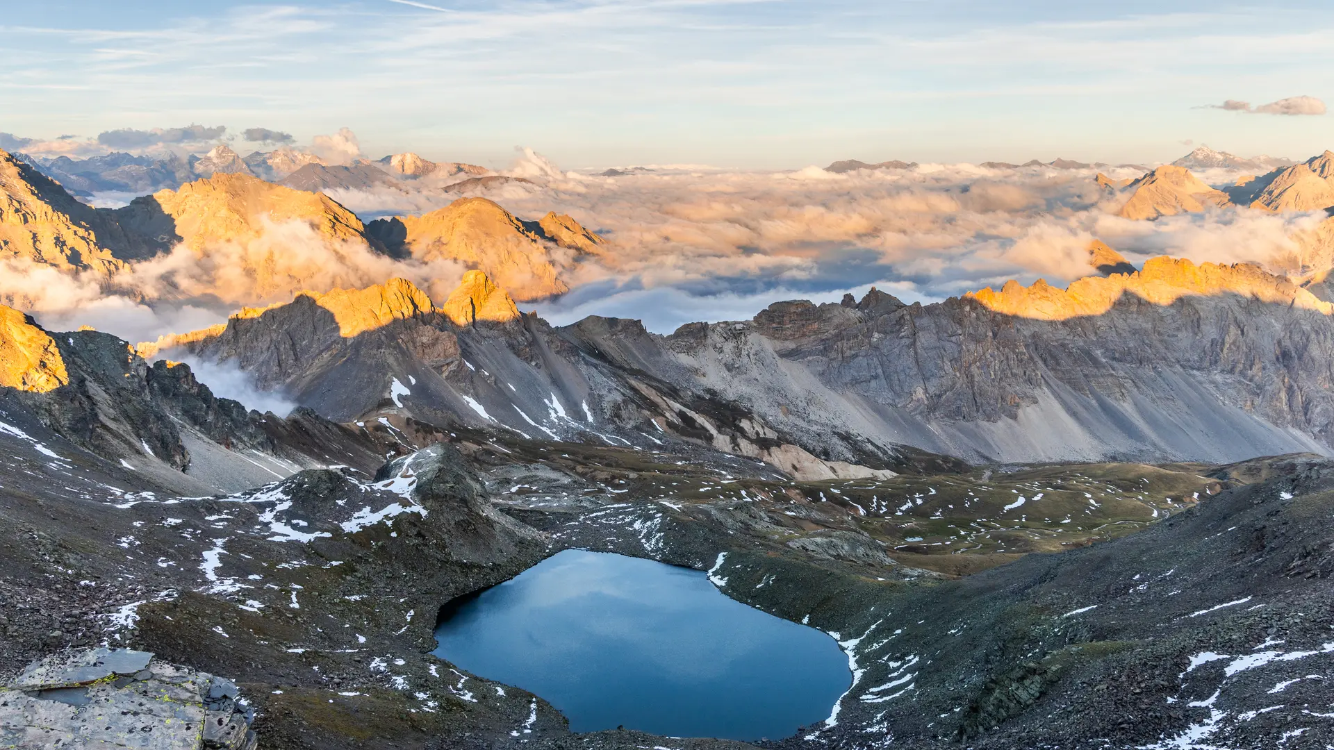
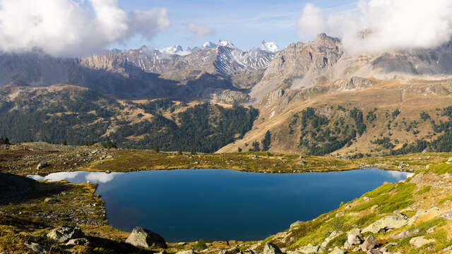
Just above the Refuge, leave the track and take the well-marked path on the right. This gradually twists and turns upwards for around 15 minutes, until it comes to a crossroads with several itineraries: ignore the paths on either side and continue climbing straight ahead. The path quickly joins the torrent of Lac Laramon up to its spillway, where the full extent of the lake finally comes into view.
Perched at an altitude of 2359 metres, this jewel of the Hautes Alpes offers a breathtaking view of the valley, and behind the Queyrellin massif, part of the Dôme des Écrins can be seen.
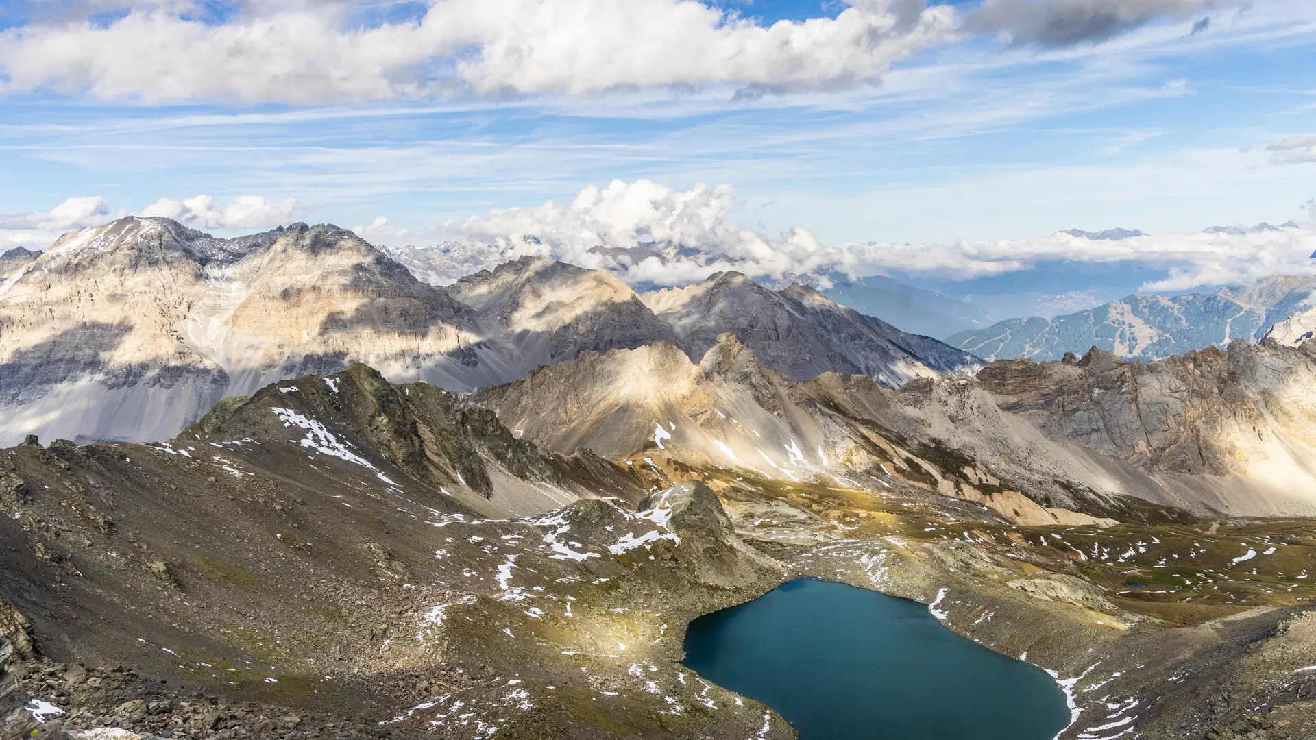
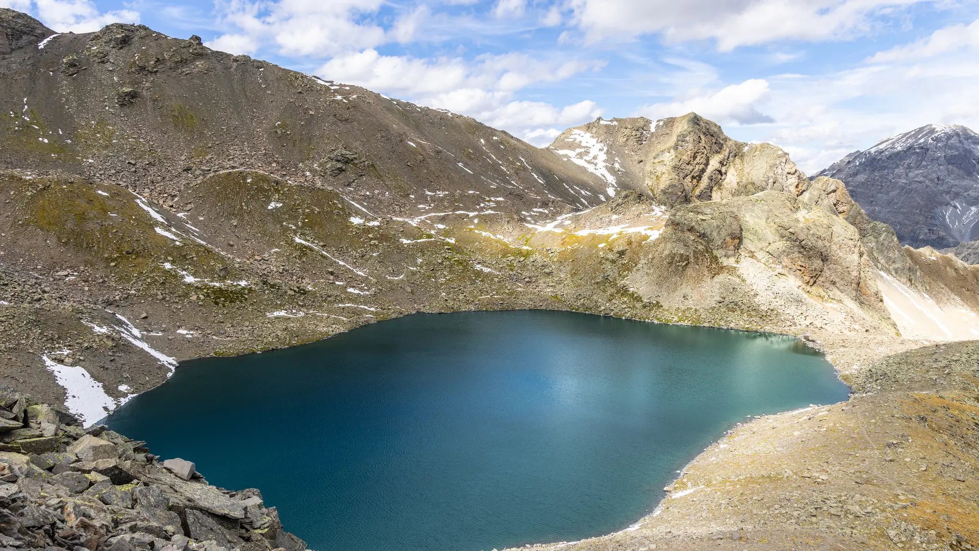
Follow the path around the lake to the left, which then rises steeply: count 100 metres of ascent over a distance of 700 metres to reach Lac du Serpent.
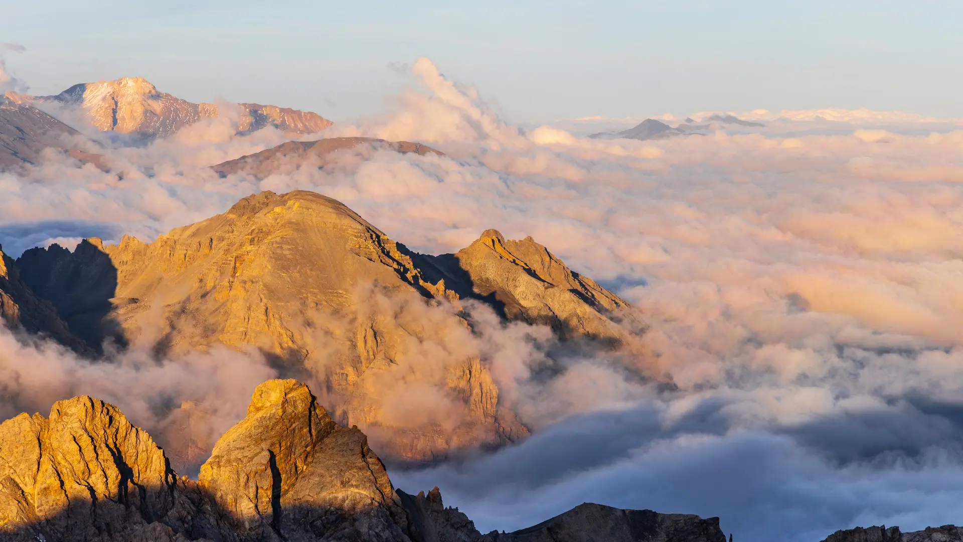
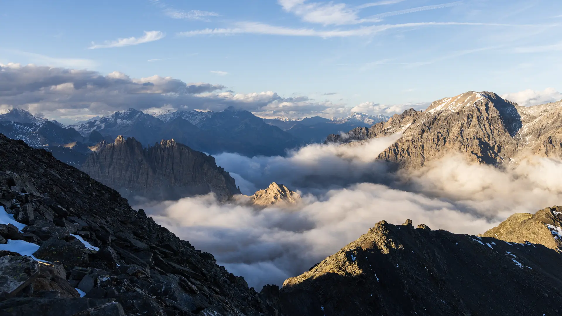
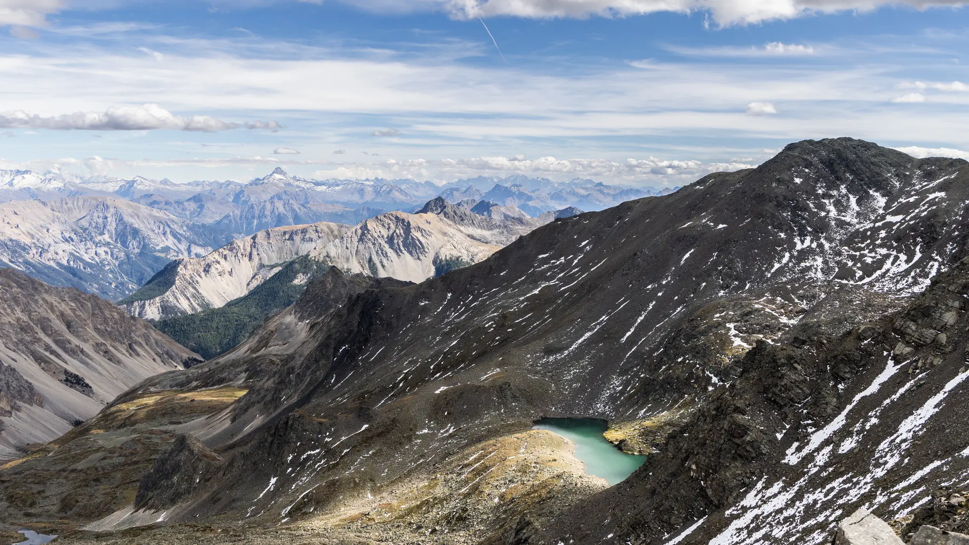
Once at Lac du Serpent, the route continues around the lake to the left, then climbs along the torrent des Gardioles. At this point, the signposting becomes less obvious, and several paths intersect to reach the various Gardioles lakes on the left, so stay on the main path. The landscape is suddenly more mineral, as you approach the pas du Grand Cros.
The path then climbs up to the Crêtes des Gardioles and the Pas du Lac Blanc, this ridge line leading to a small hill (Pas du Lac Blanc) from which you can see Lac Blanc and the Col du Vallon below.
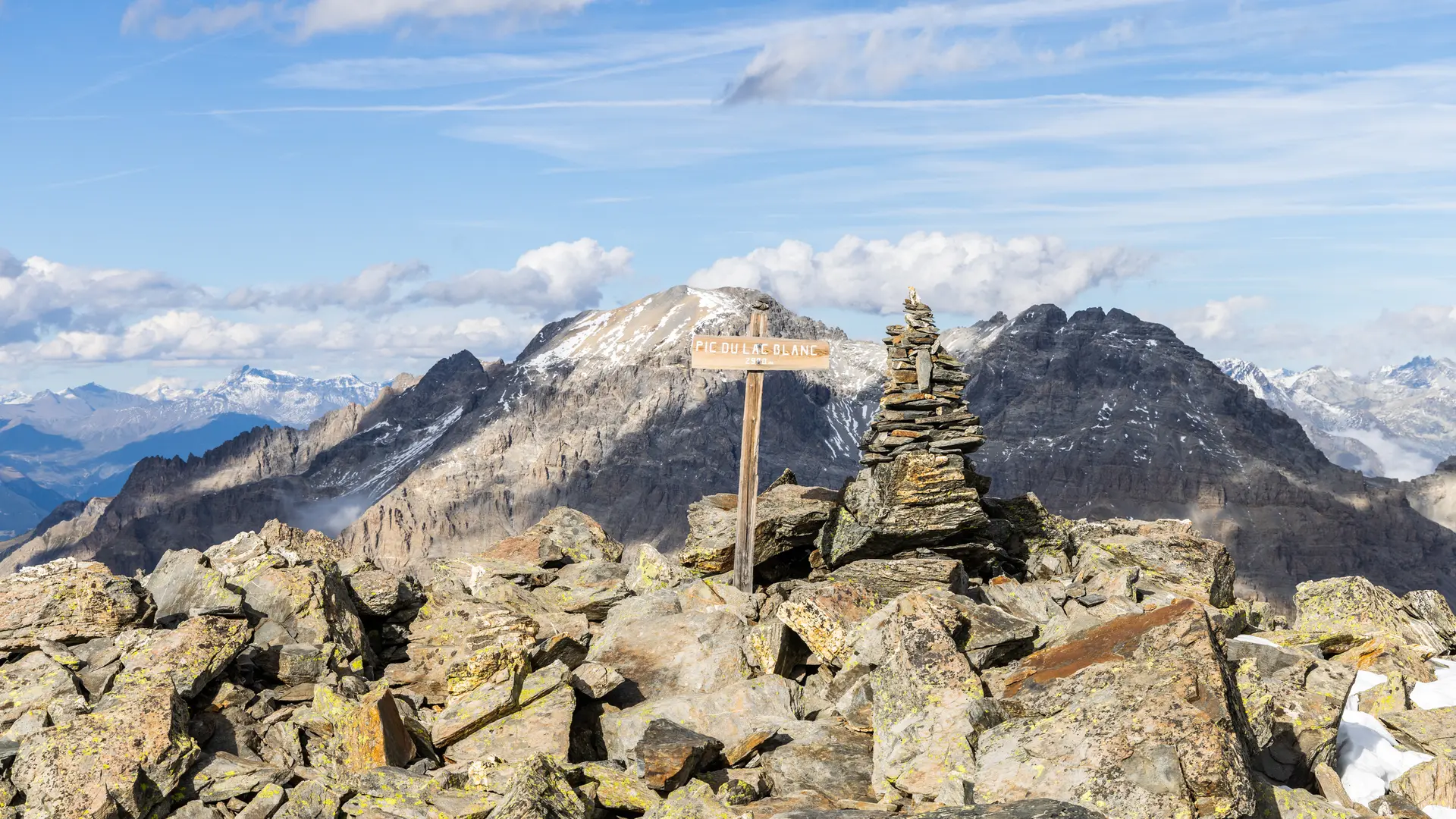
From this small collu, the last ridge line on the left crosses large boulders to finally reach the Pic du Lac Blanc, culminating at 2980 metres.
From the summit, the 360° view is the ultimate reward: Écrins, Meije, Mont Blanc, Mont Thabor, Aiguilles d'Arves, Pointe des Cerces, Queyrellin...
The return journey takes the same route.
Possible return variant:
return via Lac Blanc and Vallon, joining Névache directly.
To do this, pick up the collu below the Pic du Lac Blanc: a poorly-marked path follows a small ridge line to the east before winding through the vast scree that reaches Lac Blanc. At Lac Blanc, follow the cairns to join the GRP Tour du Mont Thabor, heading back down towards Chapelle Saint Michel and Névache.
The first part of the hike is heavily frequented in summer, causing damage to the vegetation along the trail. Please stay on the main route.
In the Clarée, dogs must be kept on a leash on all trails, for reasons of wildlife protection, but also to ensure cohabitation with herd protection dogs. Be sure to observe these regulations, especially above Ricou where there are many marmots.
Read more