Tips
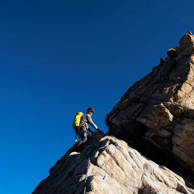
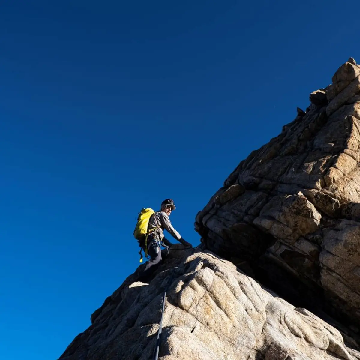
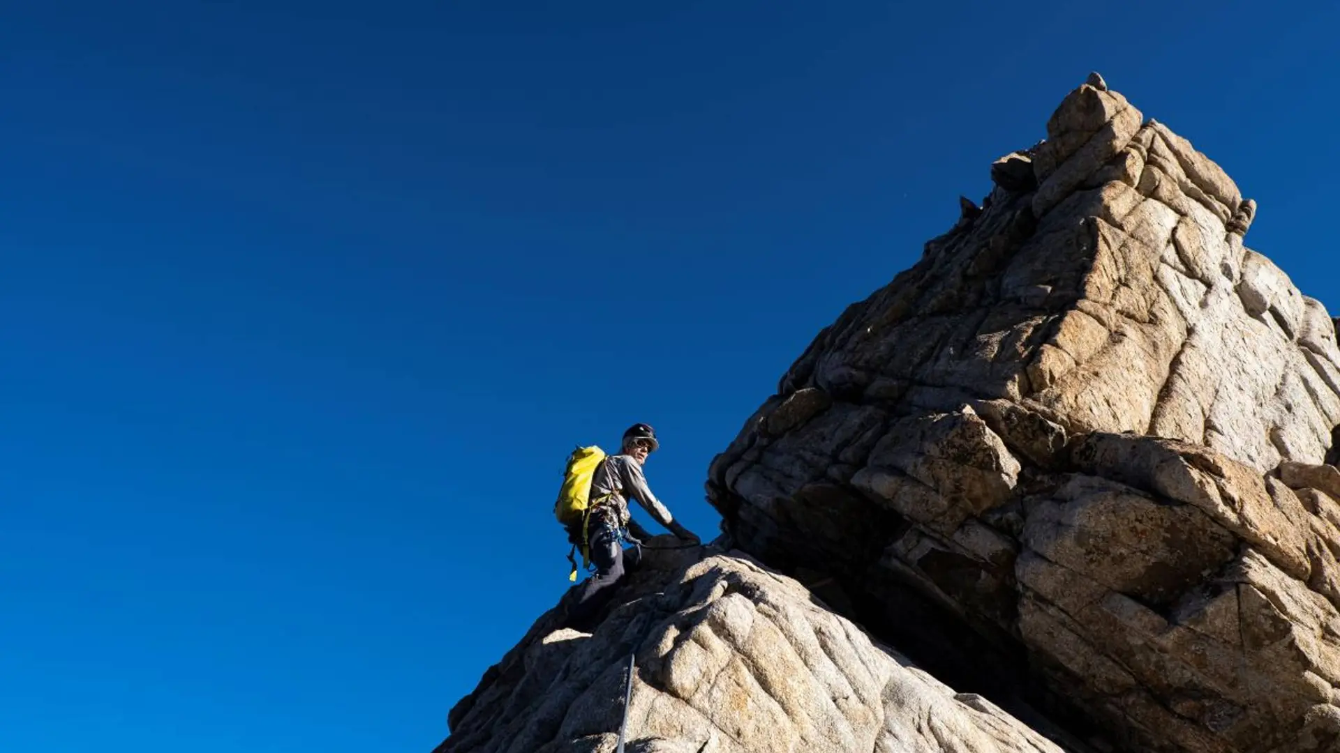
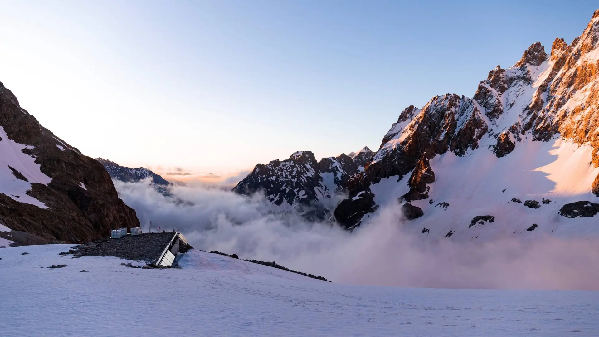
For this short, rocky climb, you need to deploy all the basics not only of roped progression on rocky terrain, but also those of downclimbing and rappelling. It is possible to complete the climb with a 50m rope, limiting the rappels to 25m, but two 50m strands allow for an easier descent with longer rappels. It is also possible to complete the climb starting from the Vénéon valley and from the Refuge du Châtelleret in the Étançons valley. This option is more demanding and involves a long approach walk over high-mountain terrain crossing the Col du Clot des Cavales. It is equipped with wires and is clearly waymarked in green; the easy sections are equipped with anchor points (bolts) allowing for effective belayed progression. Note that the route does not run through the geographical col, but via the notch 3,196 m slightly to the north of the Col du Clot des Cavales. Take care not to stray from the waymarked and wired route in low snow cover conditions (unstable and hazardous terrain). Of course, it is possible to envisage the itinerary as an A to B route in the direction Vénéon/upper Romanche (the simplest).
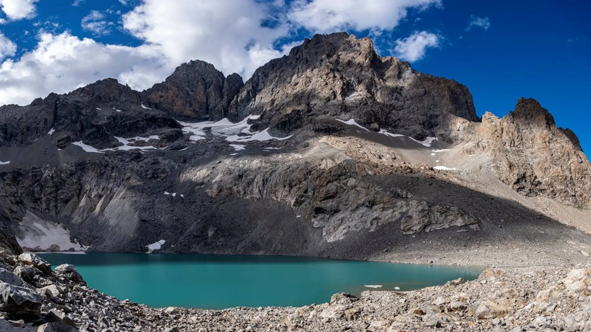
Is in the midst of the park : The national park is an unrestricted natural area but subjected to regulations which must be known by all visitors.