- Voir les favoris
See photos (4)
Pissoun de Terres Pleines
Sport, Pedestrian sports, Hiking itinerary
in Jausiers
7.3
km
3h 30min
Hard
-
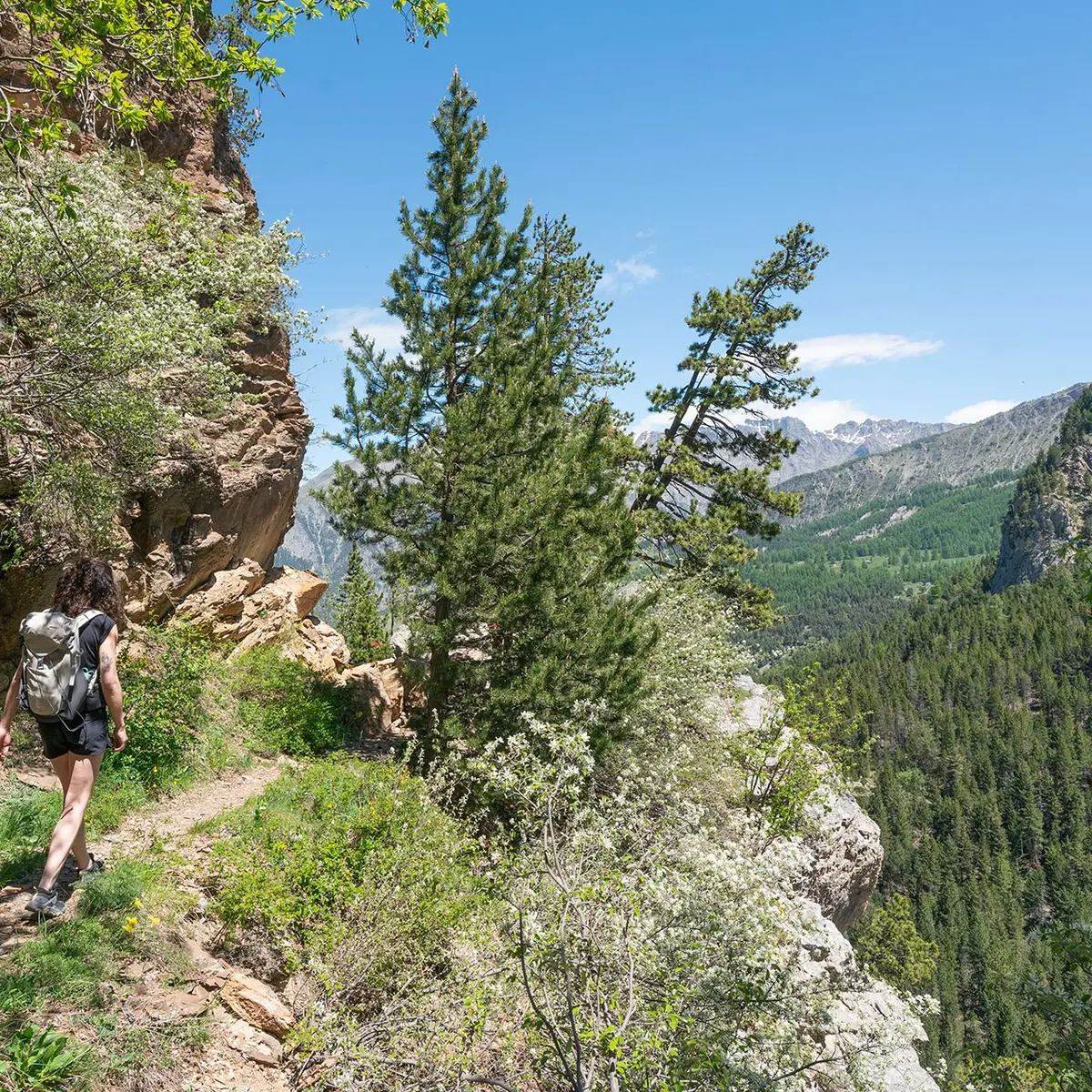
Located on both banks of the stream, the route takes you around a glacial lock called ‘Les Portes de l'Enfer’ (The Gates of Hell).
-
The route crosses the Clapouse stream and then climbs up along the Terres Pleines stream.
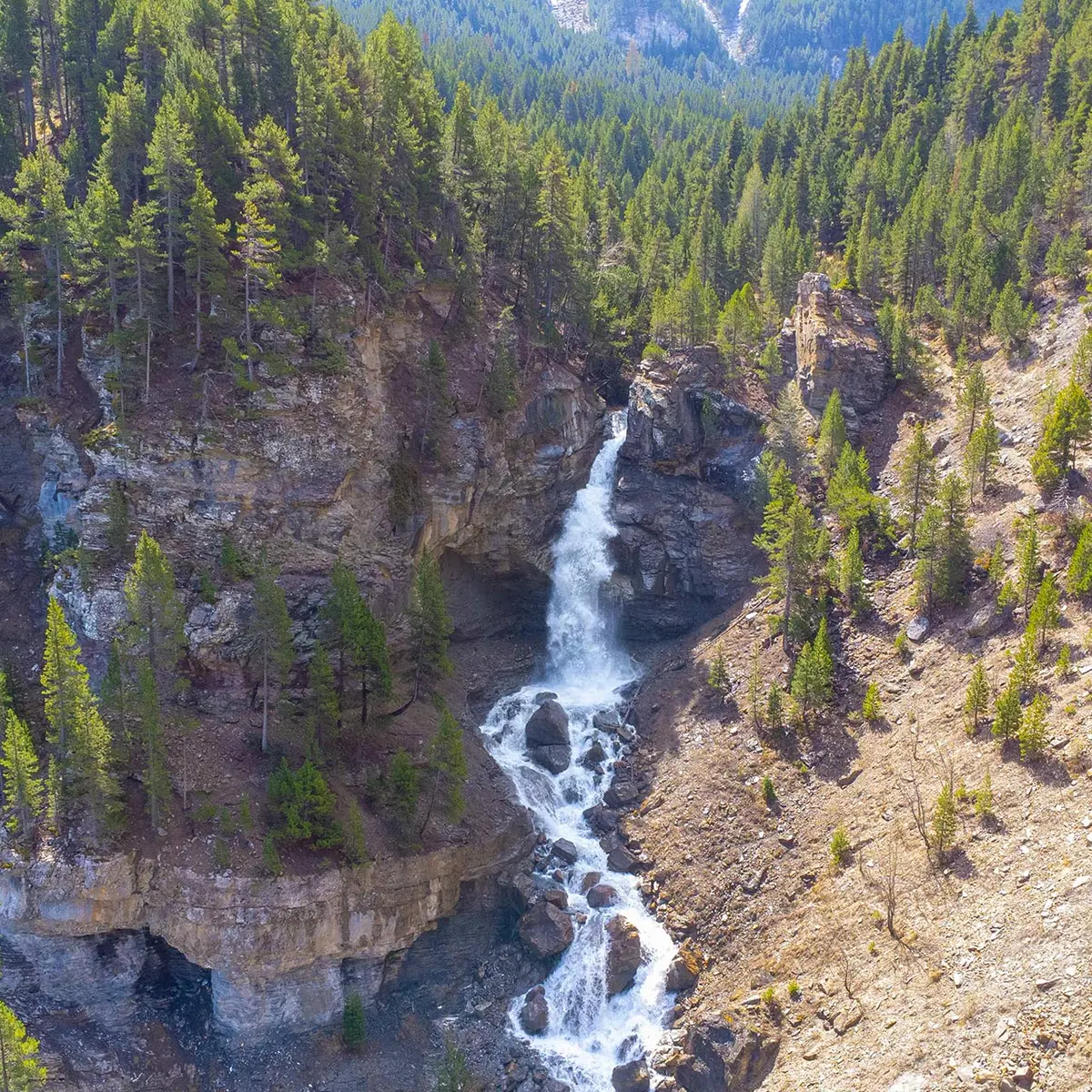
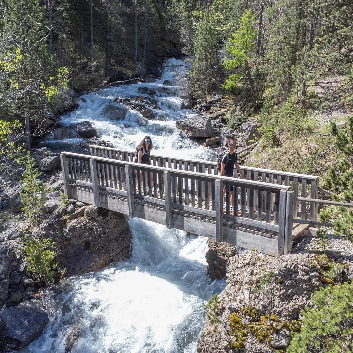
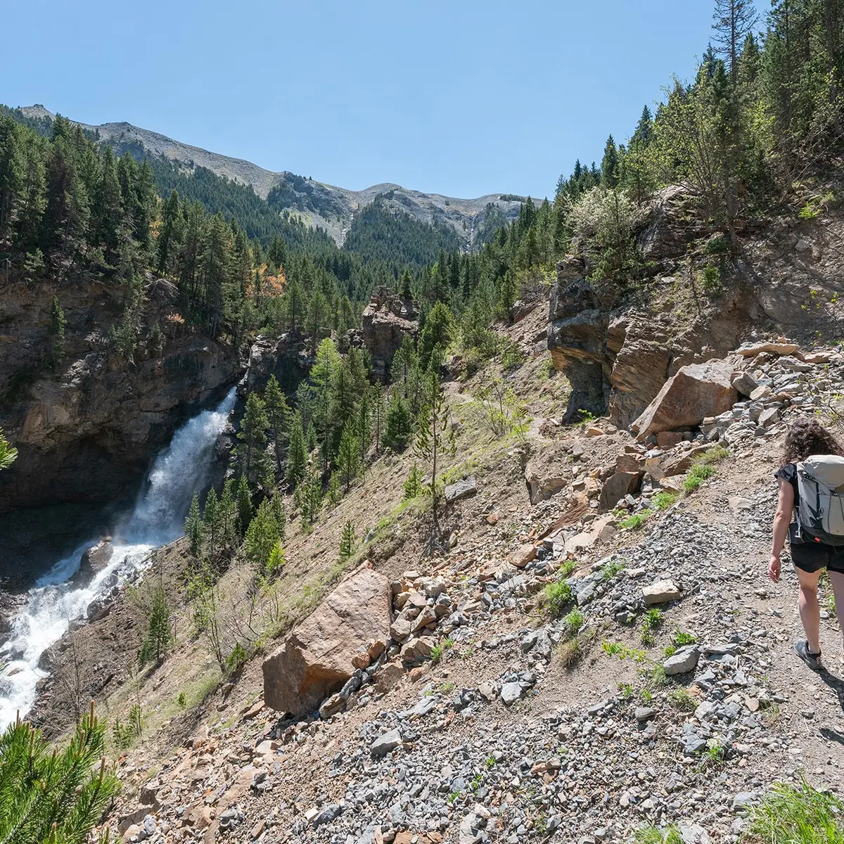
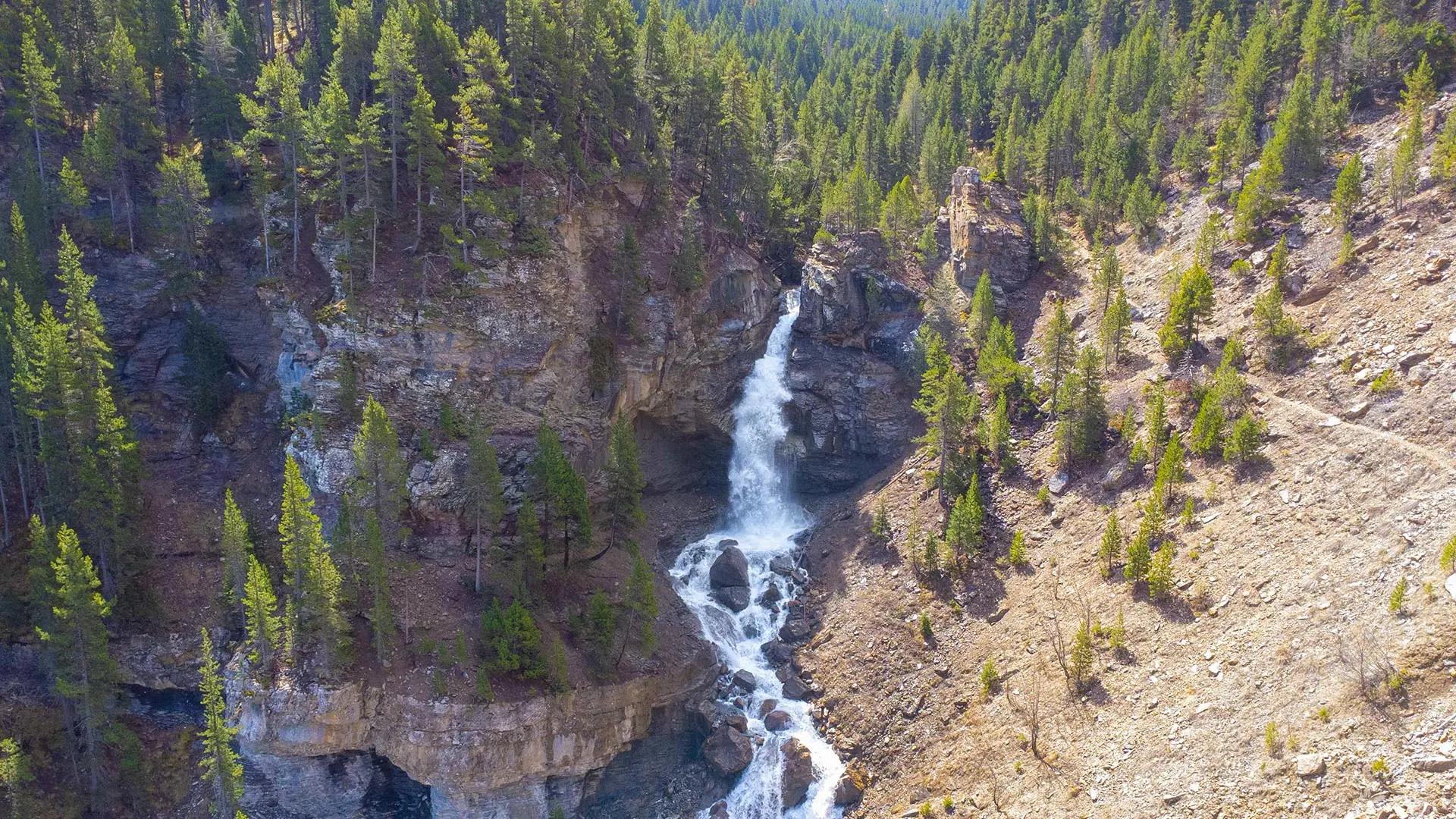
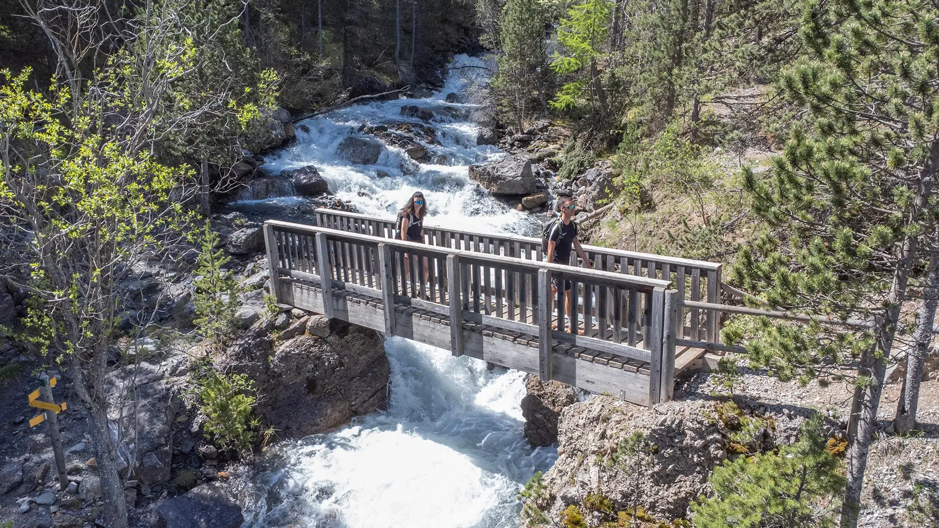
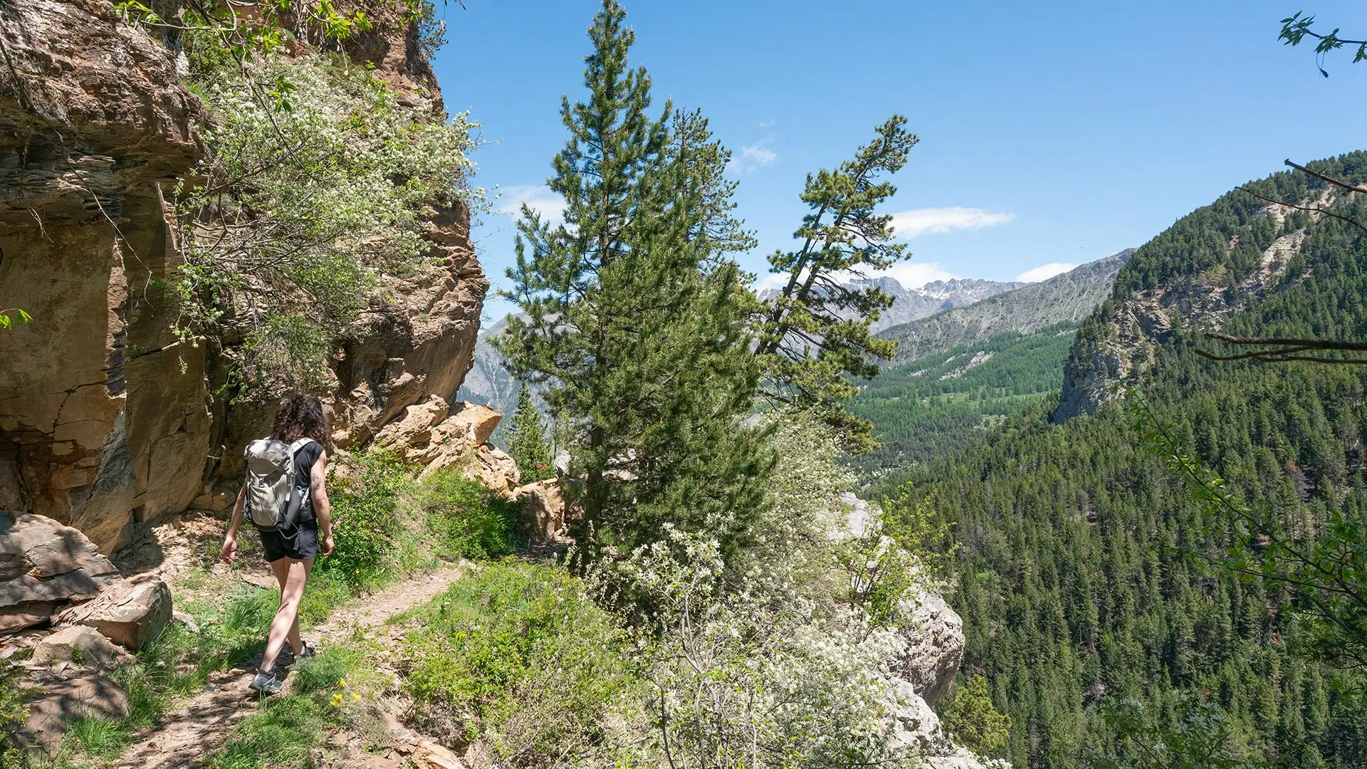
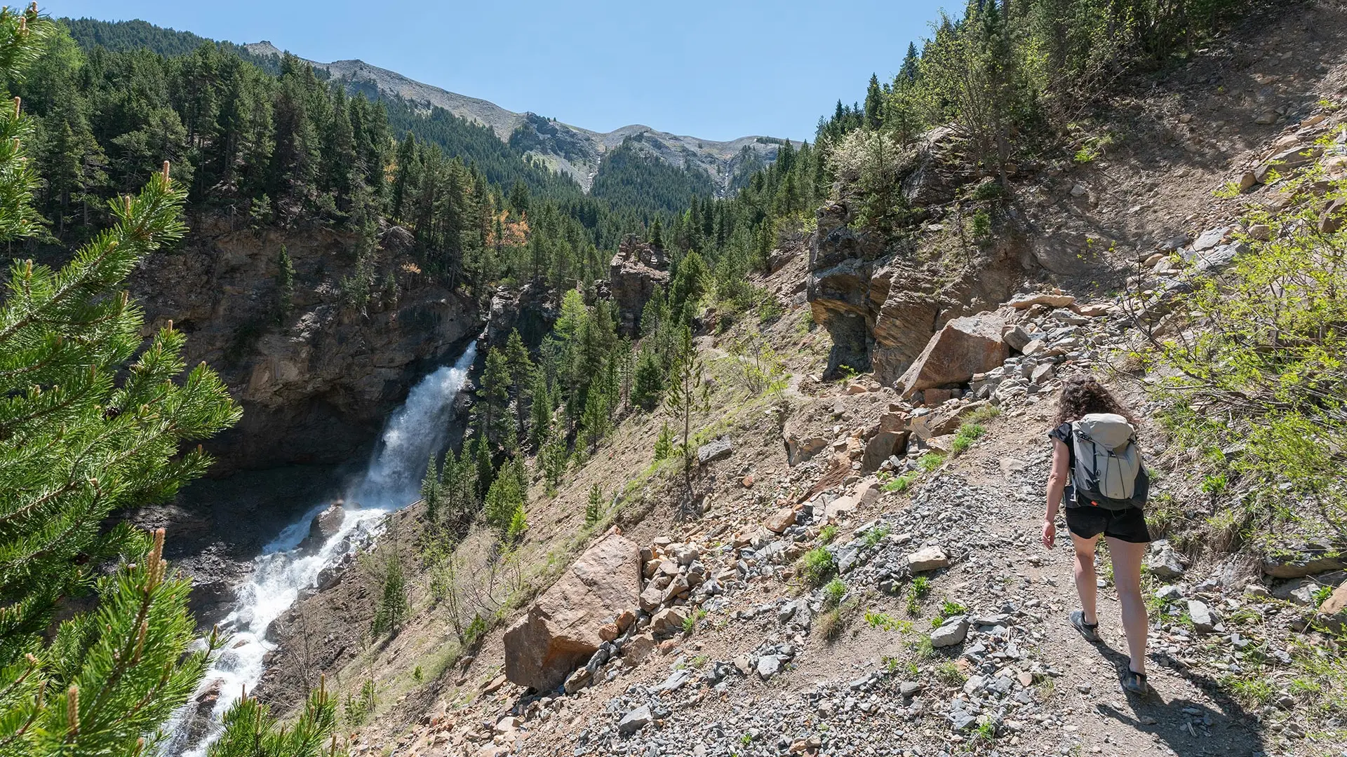
After crossing a footbridge, the trail climbs up the rocks until it passes the Pissoun (waterfall), offering a magnificent view from an overhang.
It then passes close to a shepherd's hut, crosses a ford and returns to La Chalanette on the right bank of the torrent.
- Departure
- Jausiers
-
-
Difference in height
- 452 m
-
-
-
Documentation
- GPX / KML files allow you to export the trail of your hike to your GPS (or other navigation tool)
-
-
-
Accepted customers
-
- See all reviews
- 452 meters of difference in height
-
- Maximum altitude : 1918 m
- Minimum altitude : 1535 m
- Total positive elevation : 452 m
- Total negative elevation : -452 m
- Max positive elevation : 193 m
- Min positive elevation : -305 m
Services
-
-
Services
-
