- Voir les favoris
See photos (11)
Plan de l'Alpe de Villar via the Crevasses trail
Sport, Pedestrian sports, Hiking itinerary
in Villar-d'Arêne
6.7
km
-
Discover the wild Arsine valley from the Col du Lautaret via the Crevasses trail.
-
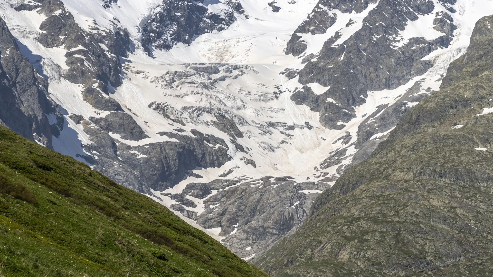
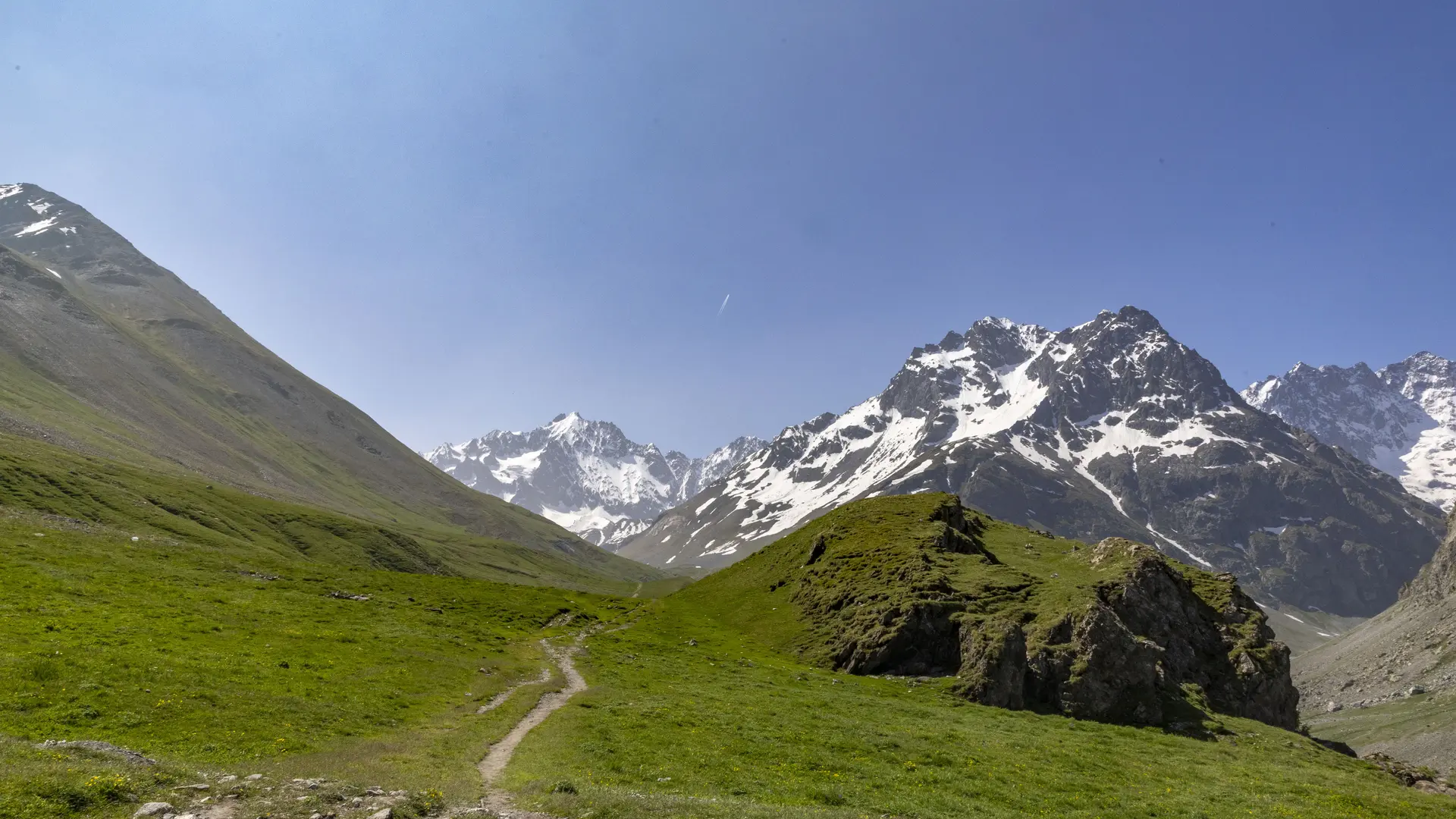
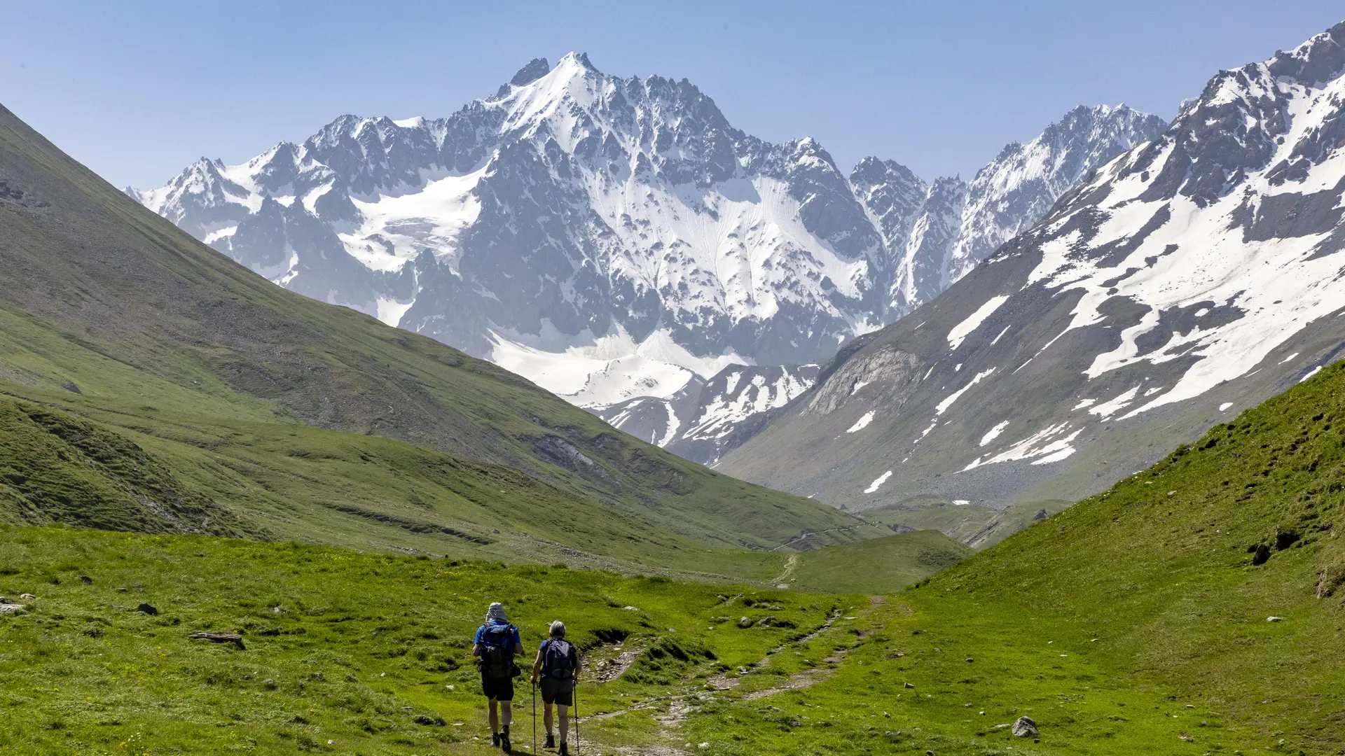
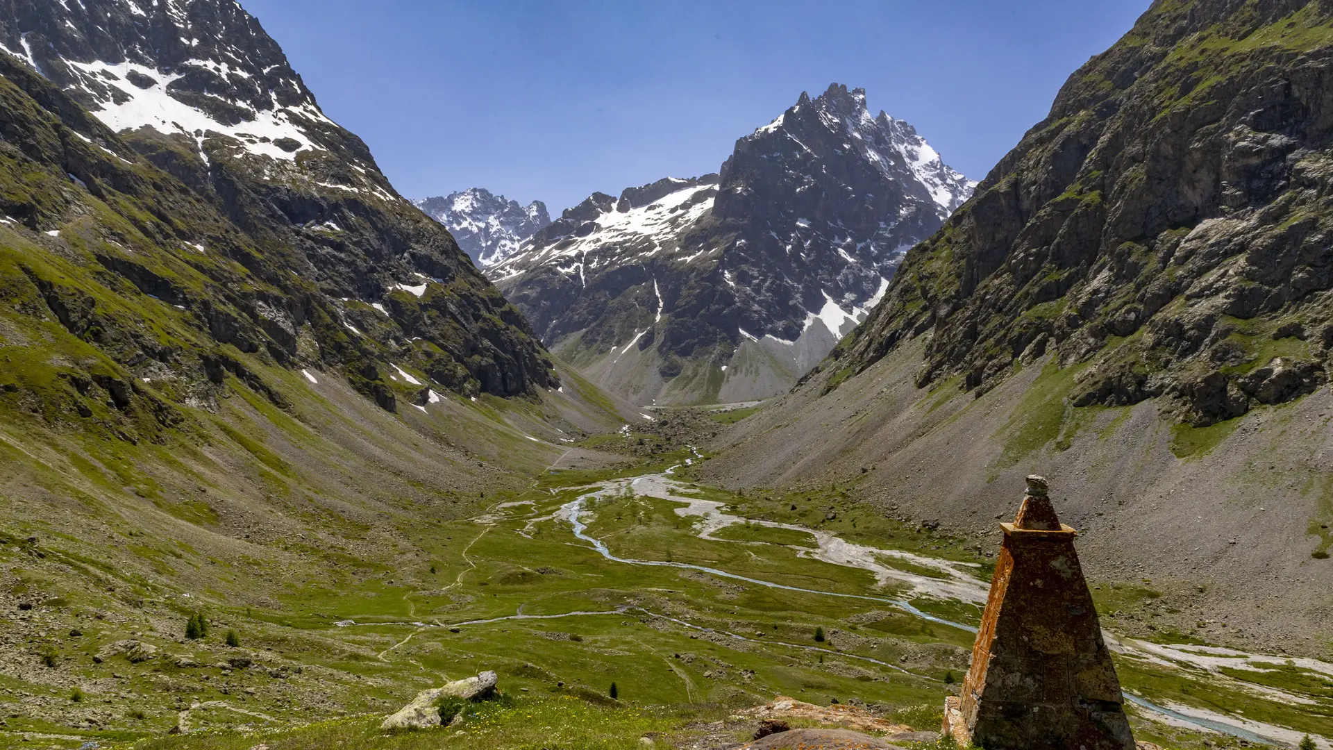
From the Col du Lautaret, head towards the Alpe et Chamoissière refuge and the Col d'Arsine.
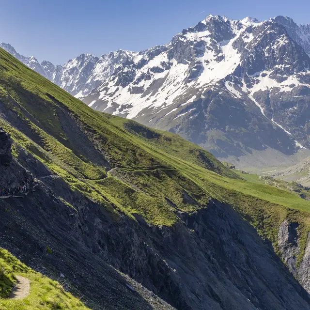
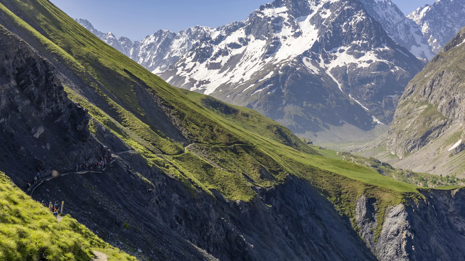
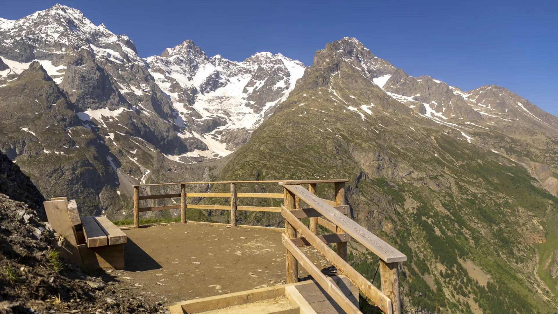
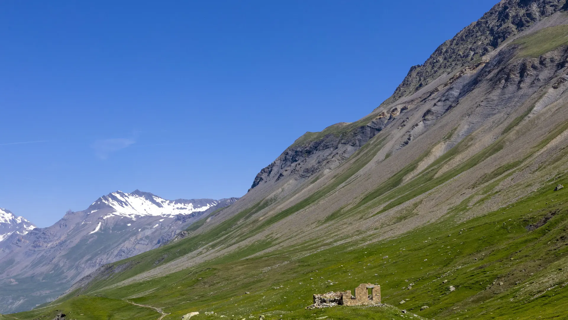
Skirt the Laurichard pyramid on your right to follow the only path that climbs gently up to the Belvédère de l'Homme.
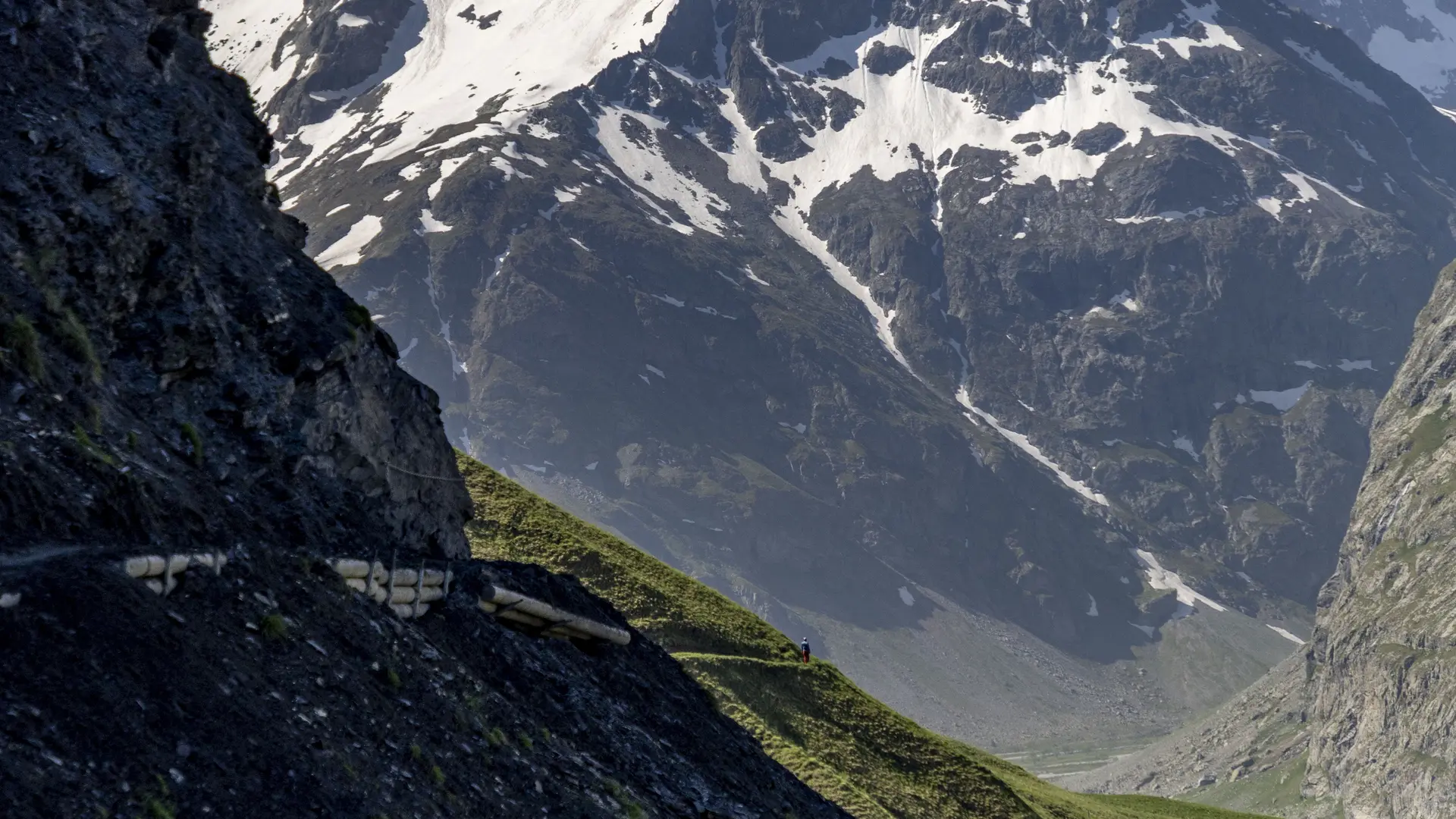
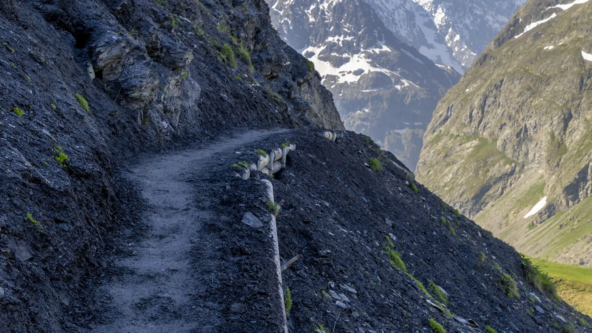
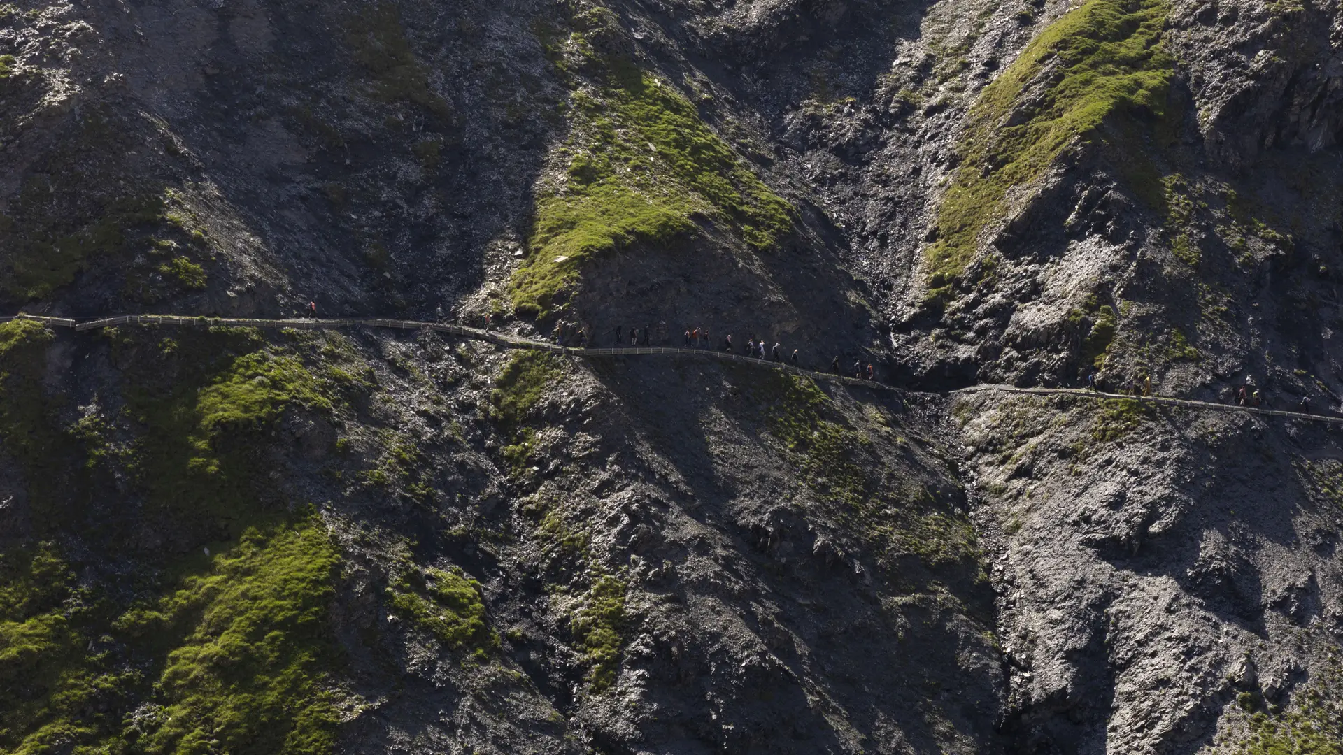
After the wooden gate, the path becomes a little more vertiginous, but protected by handrails.
Continue towards the Refuge de l'Alpe et Chamoissière. Return by the same route.
Easy hiking
- Departure
- Villar-d'Arêne
-
-
Difference in height
- 335.422 m
-
-
-
Documentation
- GPX / KML files allow you to export the trail of your hike to your GPS (or other navigation tool)
-
- See all reviews
- 335 meters of difference in height
-
- Maximum altitude : 2138 m
- Minimum altitude : 2012 m
- Total positive elevation : 335 m
- Total negative elevation : -271 m
- Max positive elevation : 84 m
- Min positive elevation : -62 m
