Plate longe - Val d'Oronaye

Plate longe

Sport, Pedestrian sports, Hiking itinerary in Val d'Oronaye
10.5 km
6h 30min
Very difficult
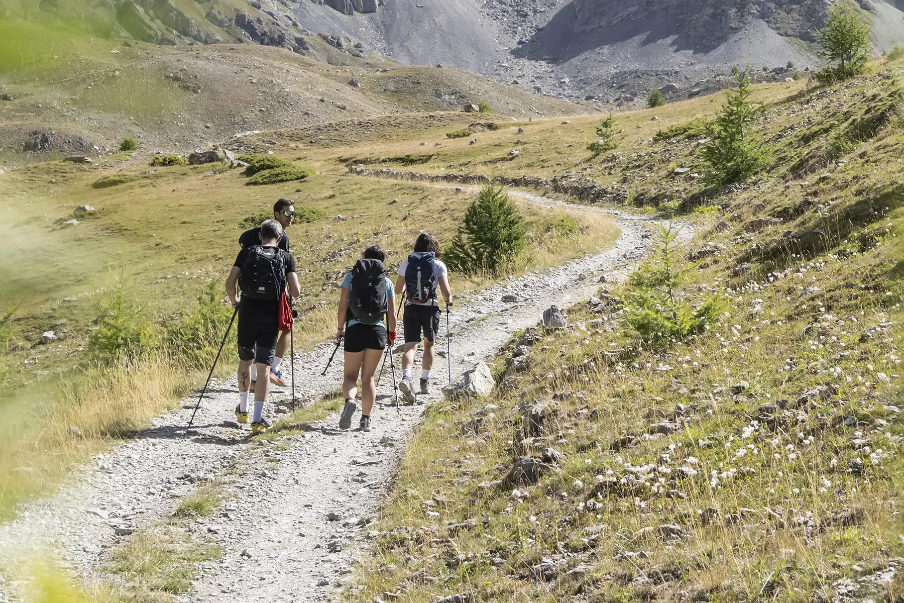
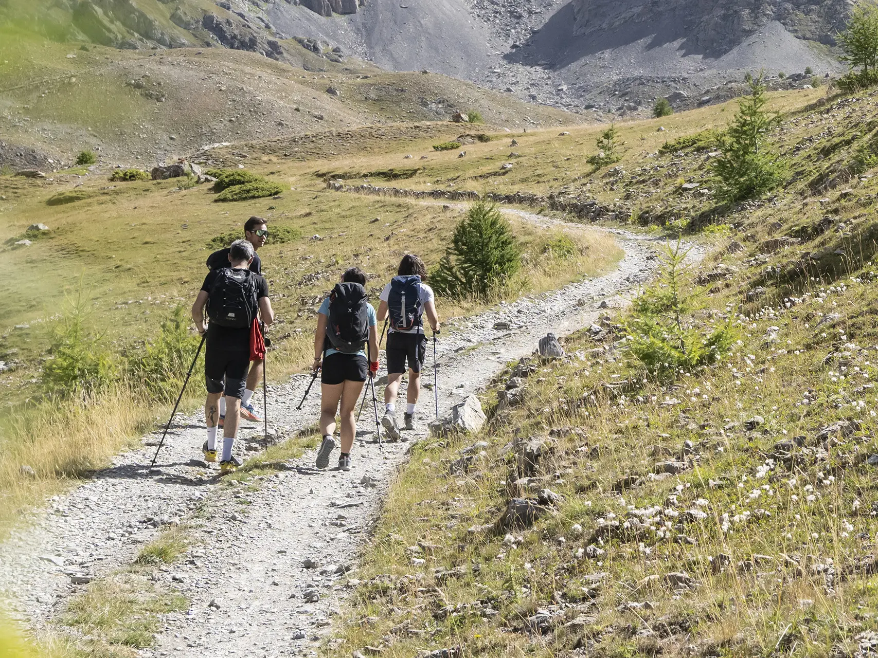
  • On the north-facing slope of Larche, several wild valleys lead towards the rocky ridge of Abriès, offering views of the middle Ubaye Valley and the Ubayette Valley.

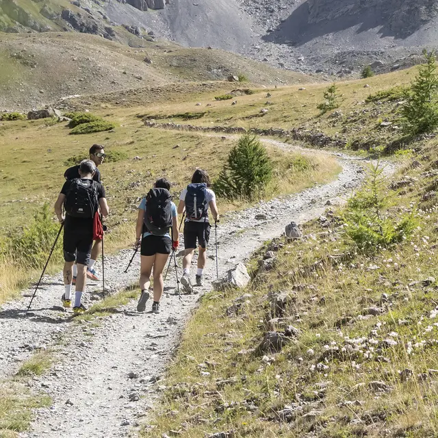
  • From Larche, the route climbs along a path on the northern slope of the Rofre valley. After leaving the forest, it reaches the Pas des Manzes in the mountain pastures. The path then continues to climb to the Tête de Plate Longe. The return to Larche is via the Vallon des Vaches and the Bois de la Lauze, still on paths.
  • Departure
    Val d'Oronaye
  • Difference in height
    1051.64 m
  • Documentation
    GPX / KML files allow you to export the trail of your hike to your GPS (or other navigation tool)
  • Accepted customers
    • Level black - very hard
1052 meters of difference in height
  • Maximum altitude : 2716 m
  • Minimum altitude : 1669 m
  • Total positive elevation : 1052 m
  • Total negative elevation : -1052 m
  • Max positive elevation : 1044 m
  • Min positive elevation : -596 m
Services
  • Services
    • Pets welcome