See photos (3)

Plateau de Saint-Jurs

Sport, Pedestrian sports, Hiking itinerary in Bras-d'Asse
8.9 km
3h
Very difficult
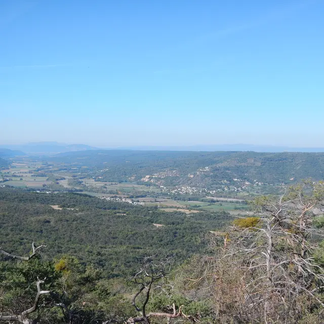
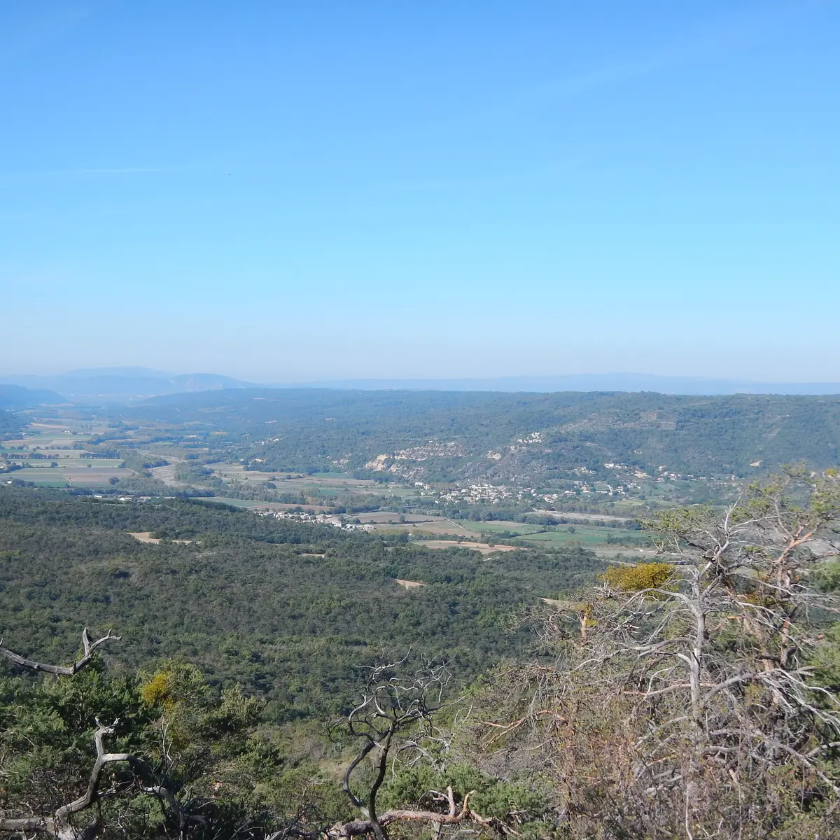
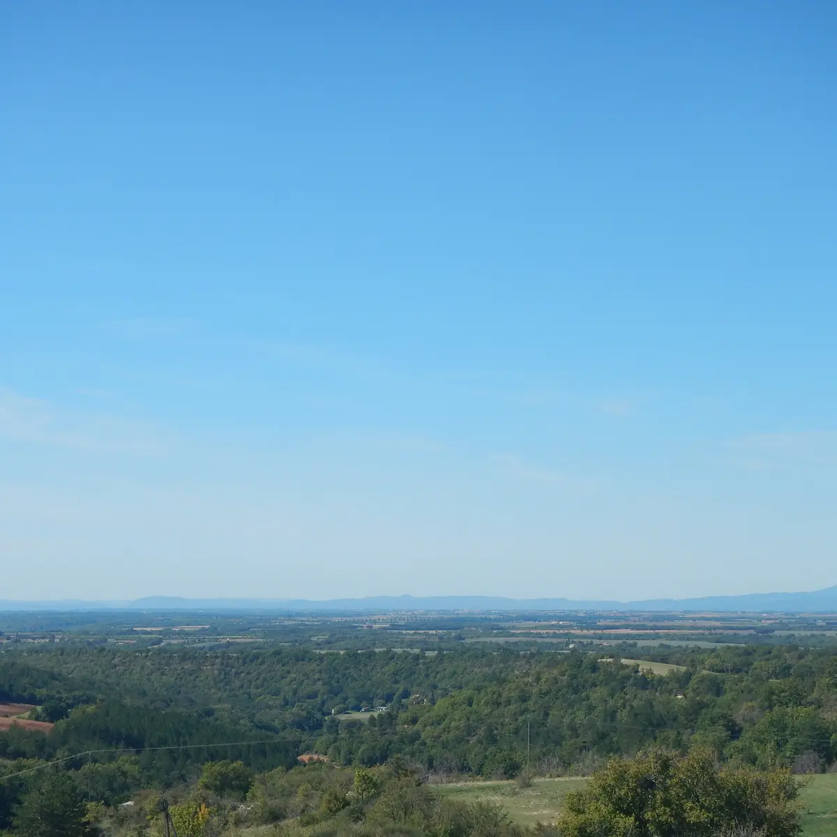
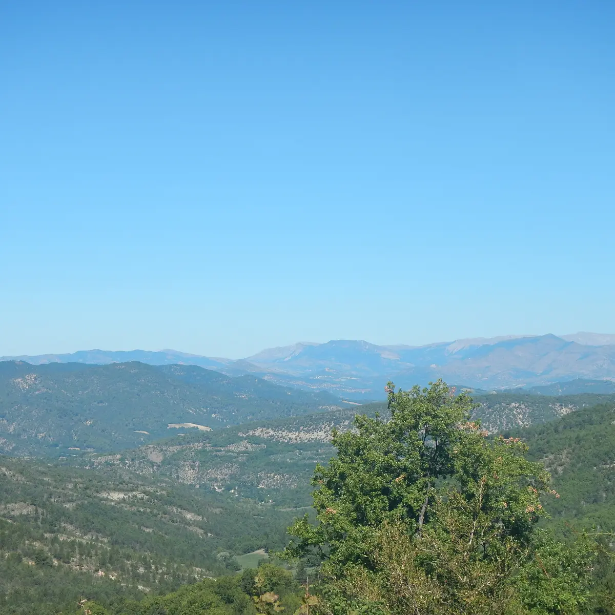
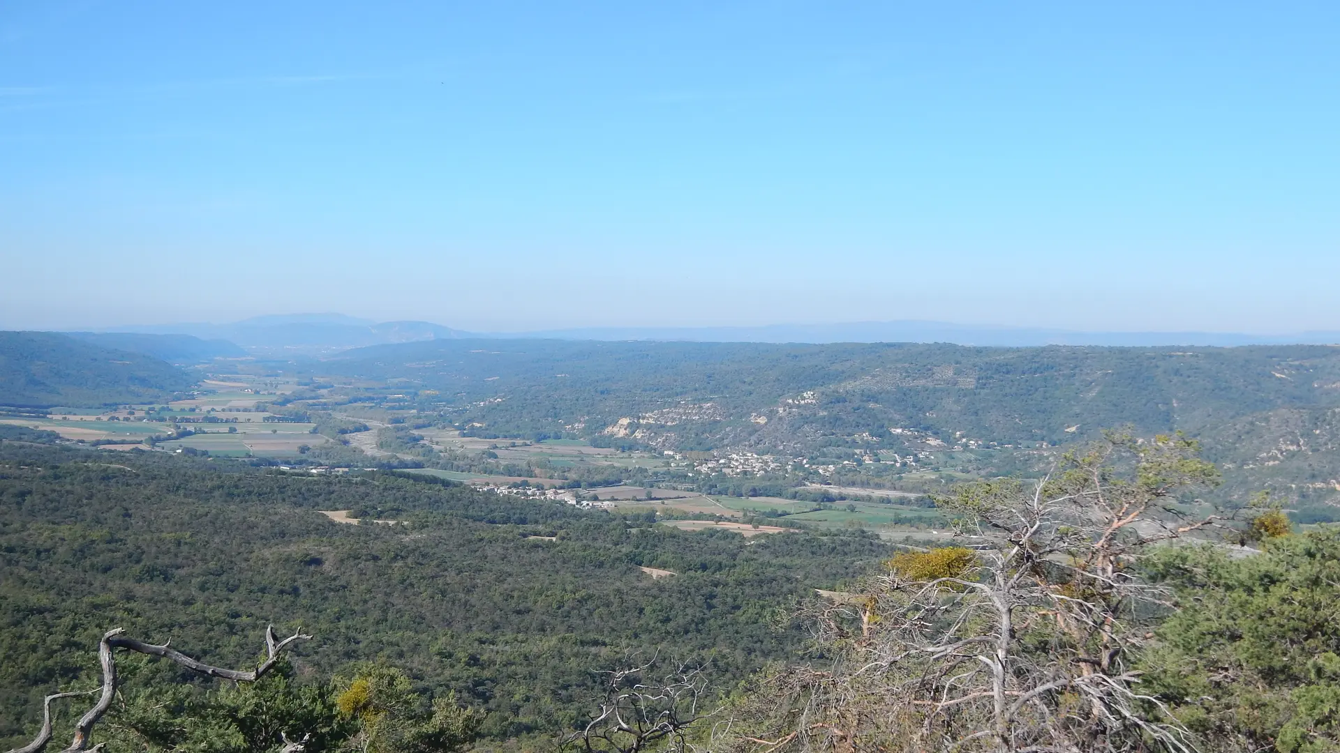
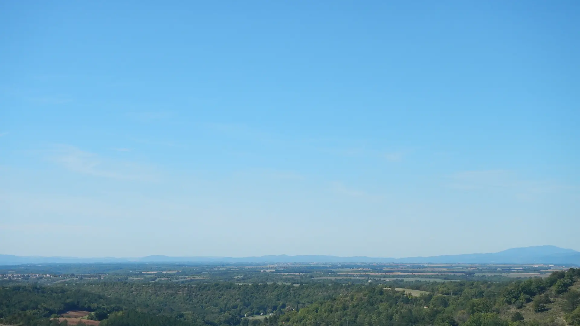
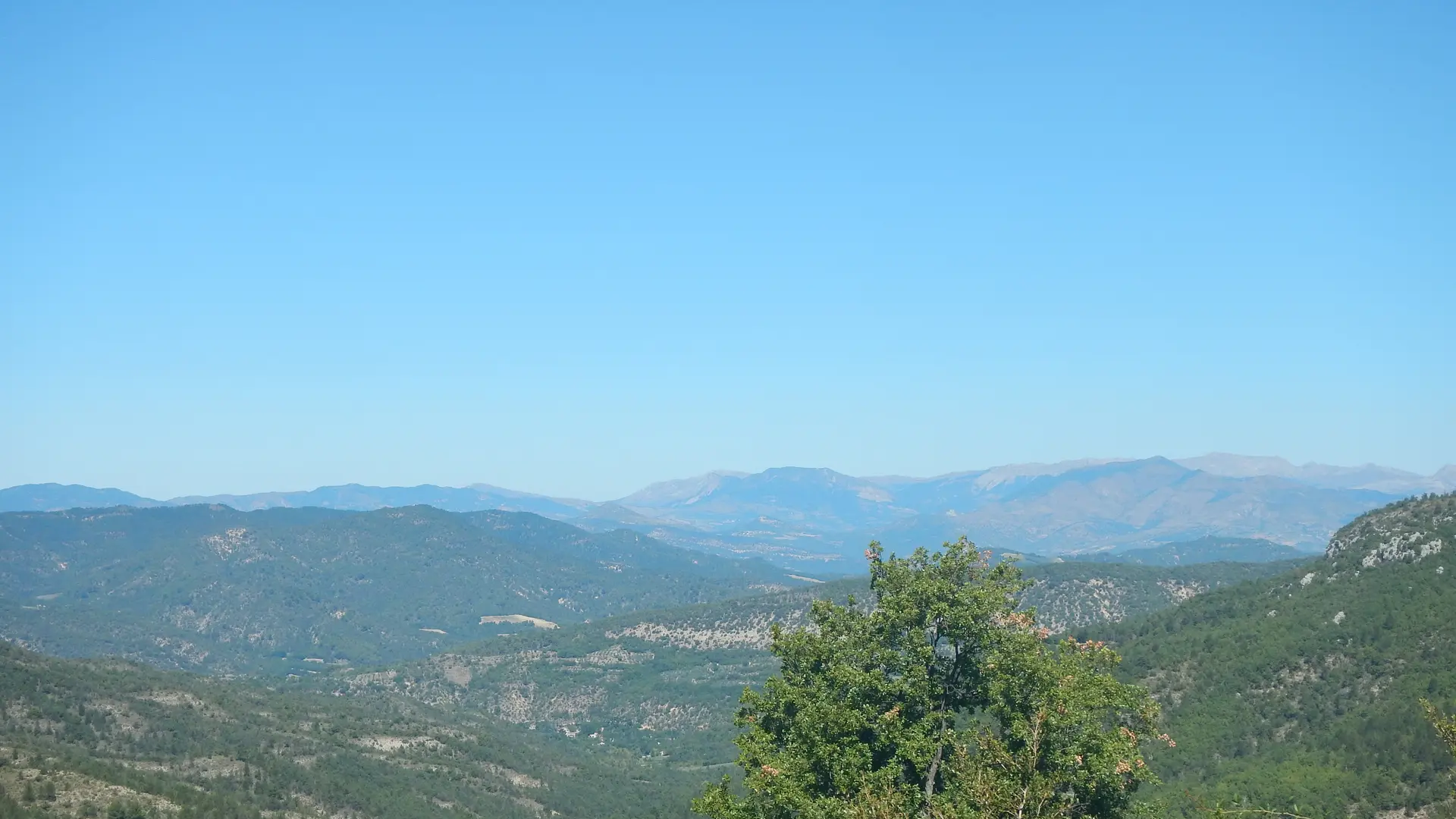
  • Go on an adventure on the Saint-Jurs plateau. After a climb through the oaks, discover a breathtaking panorama: lavender fields as far as the eye can see and the majestic Serre du Montdenier mountain. A unique immersion between the Alps and Provence!

  • Departure from La Bégude for an incursion onto the plateau of Saint-Jurs, car game recommended. A pleasant climb in the oaks before emerging onto a flooded plateau as far as the eye can see lavender with the Serre du Montdenier mountain in the background Look. A hike that gives you an idea of ​​this border between the Alps and Provence.

    Option to go down to Estoublon: Add 2 hours, 5 km. Descent to Estoublon via the Molans relay.
  • Departure
    Bras-d'Asse
  • Difference in height
    442.667 m
  • Environment
    • Panoramic view
    • Forest location
    • In the country
  • Spoken languages
    • French
  • Documentation
    GPX / KML files allow you to export the trail of your hike to your GPS (or other navigation tool)
  • Accepted customers
    • Level black - very hard
443 meters of difference in height
  • Maximum altitude : 887 m
  • Minimum altitude : 489 m
  • Total positive elevation : 443 m
  • Total negative elevation : -44 m
  • Max positive elevation : 270 m
  • Min positive elevation : -22 m
Services
  • Equipment
    • Free car park
    • Car park