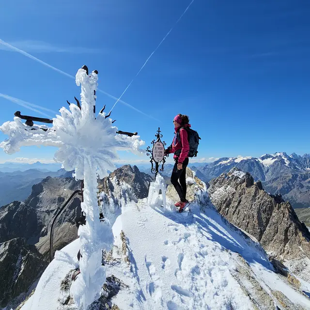
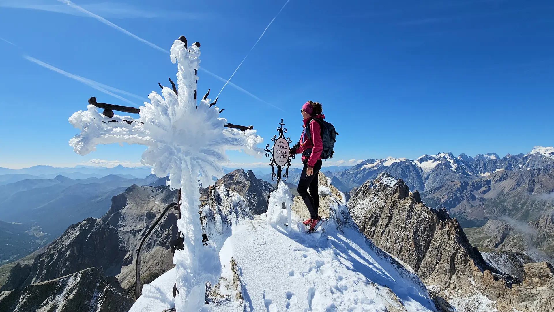
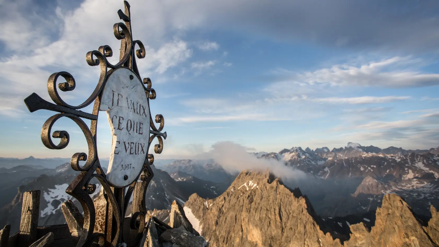
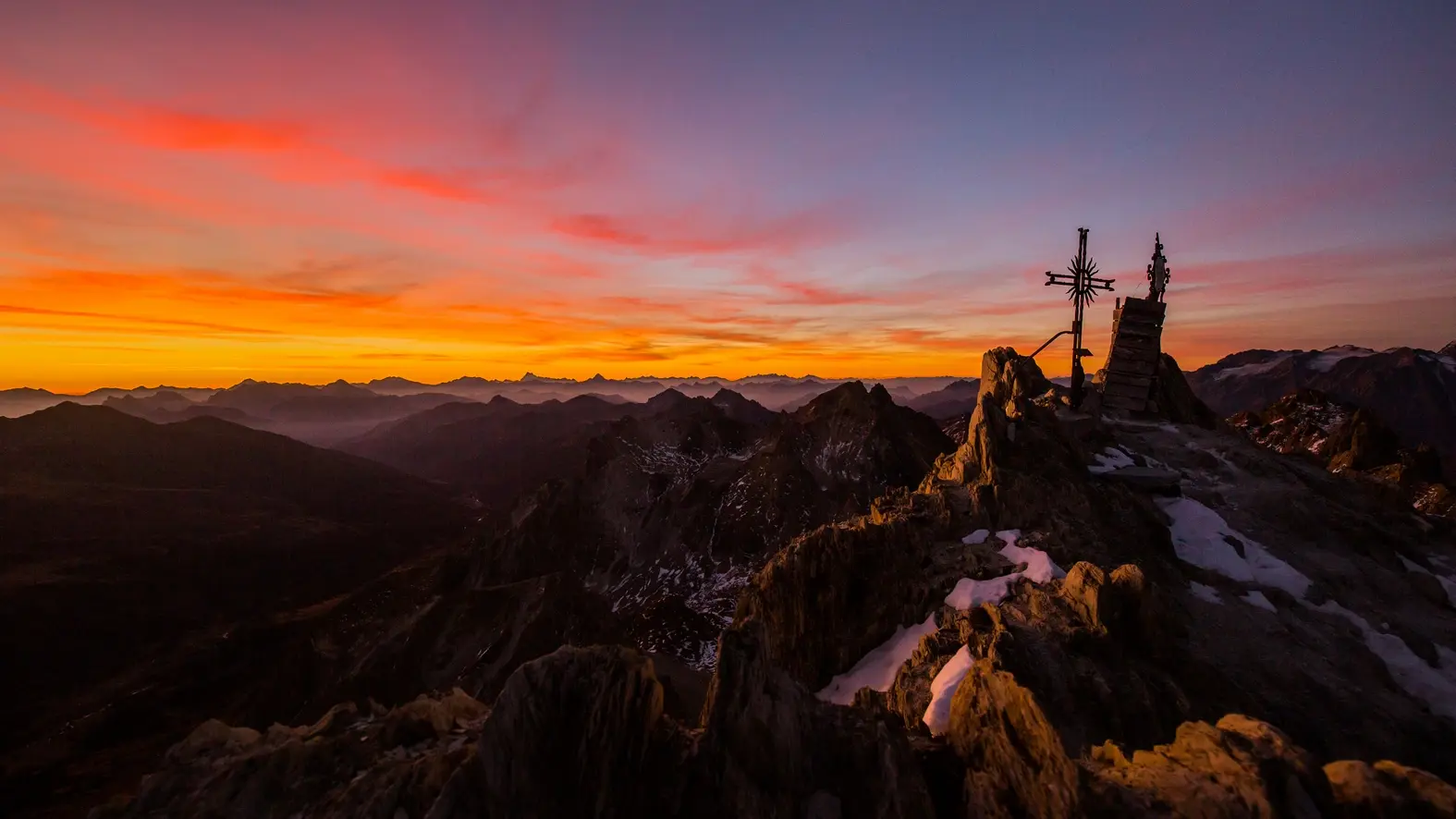
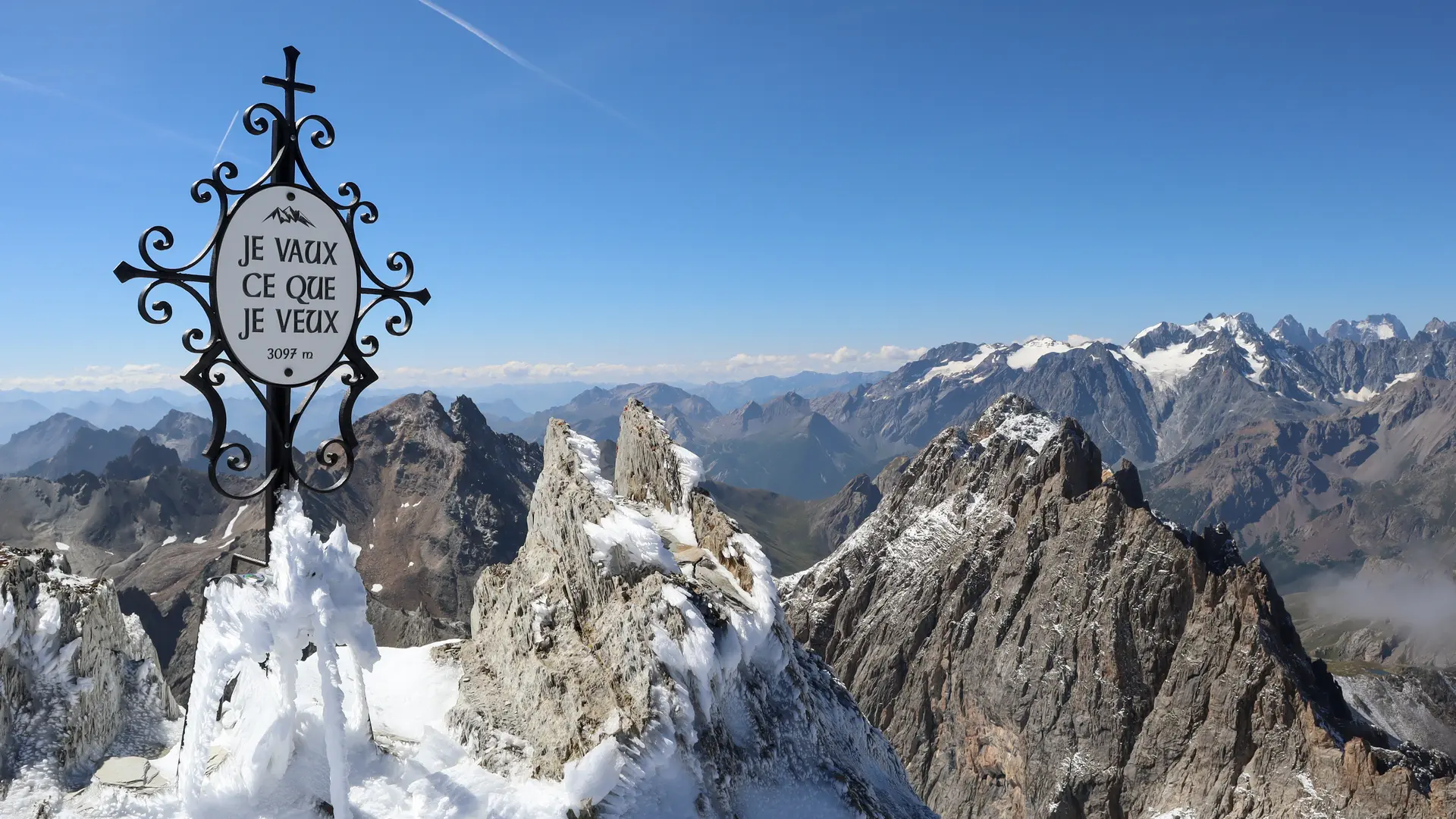
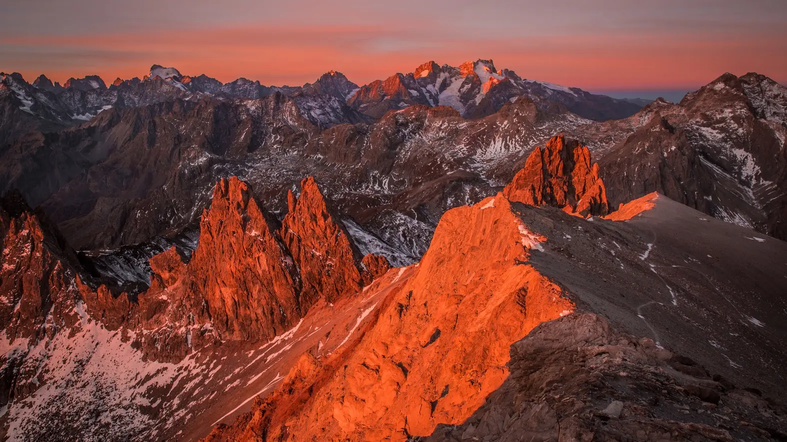
Culminating at an altitude of 3098 meters, the Pointe des Cerces is the emblematic summit of the Clarée. This wild and technical ascent in the heart of the Cerces massif and its lakes, offers a breathtaking 360° panorama that's well worth...
From the Laval parking lot, take the wide, stony track heading towards the bottom of the Clarée valley (GR de Pays Tour du Mont Thabor), which overlooks the Clarée river on its left bank.
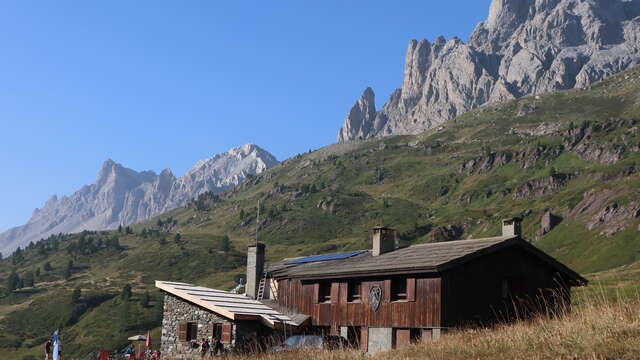
Continue on this gently sloping trail (approx. 160 m ascent) for 2.8 km towards the Refuge des Drayères. When you reach the Pont de Pierre, ignore the right-hand path and take the left-hand path to the top of the refuges des Drayères.
After the refuge des Drayères, the track becomes a small hiking trail, rising up on the left bank of the torrent, then turns into an elegant flat stone pavement that crosses a remarkable wetland to the Lac de la Clarée. This magnificent pavement is in fact an ancient Roman road linking the Clarée valley to the Maurienne.
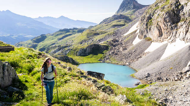
This small lake, perched at 2433 m, is the source of the river of the same name and sits between the Aiguille Noire and the Pointe des Banchets, overlooked on the right by the Seuil des Rochilles infantry fortress.
A very short climb and a distance of some 300 metres brings you to the imposing Lac des Rochilles. The old Sardinian boundary marker (1823) lining the path delimited the Kingdom of France and the Duchy of Savoy, with the Fleur de Lys engraved on the French side and the Savoy Cross on the Sardinian side.
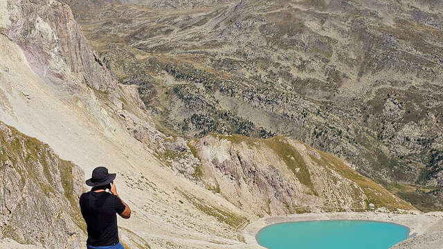
Arriving at Lac Rond, leave the main itinerary to continue on the GR57 towards Col des Cerces, the path skirting the lake on the left, crossing a scree slope ending in the lake below Pointe des Banchets. Continue along the lake until you reach the Col des Cerces.
Cross the Col des Cerces to its level. A fork appears on the left (2574 m): leave the GR57 for the path on the left, and enter the cirque. The path rises, under the Crête De Rochers Marions, then continues through vast scree to the summit.
Return by the same route.
This hike is not feasible at the beginning of the season due to the snow still present at altitude. Recommended period: July, August, September.