See photos (4)

Pointe Fine

Sport, Pedestrian sports, Hiking itinerary in Jausiers
12.0 km
7h
Very difficult
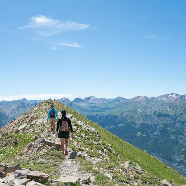
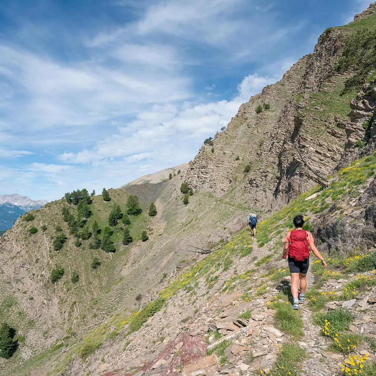
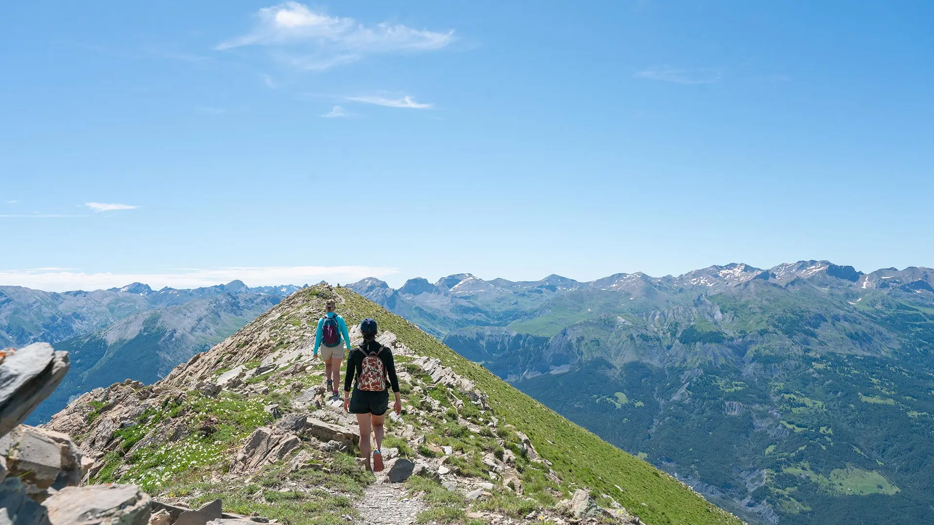
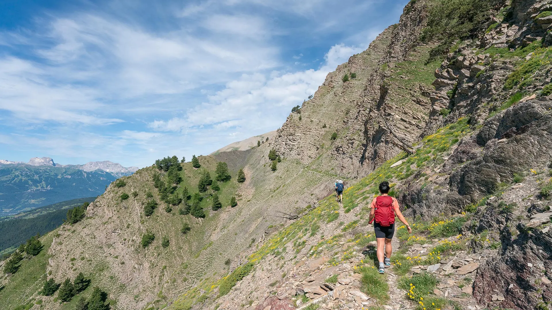
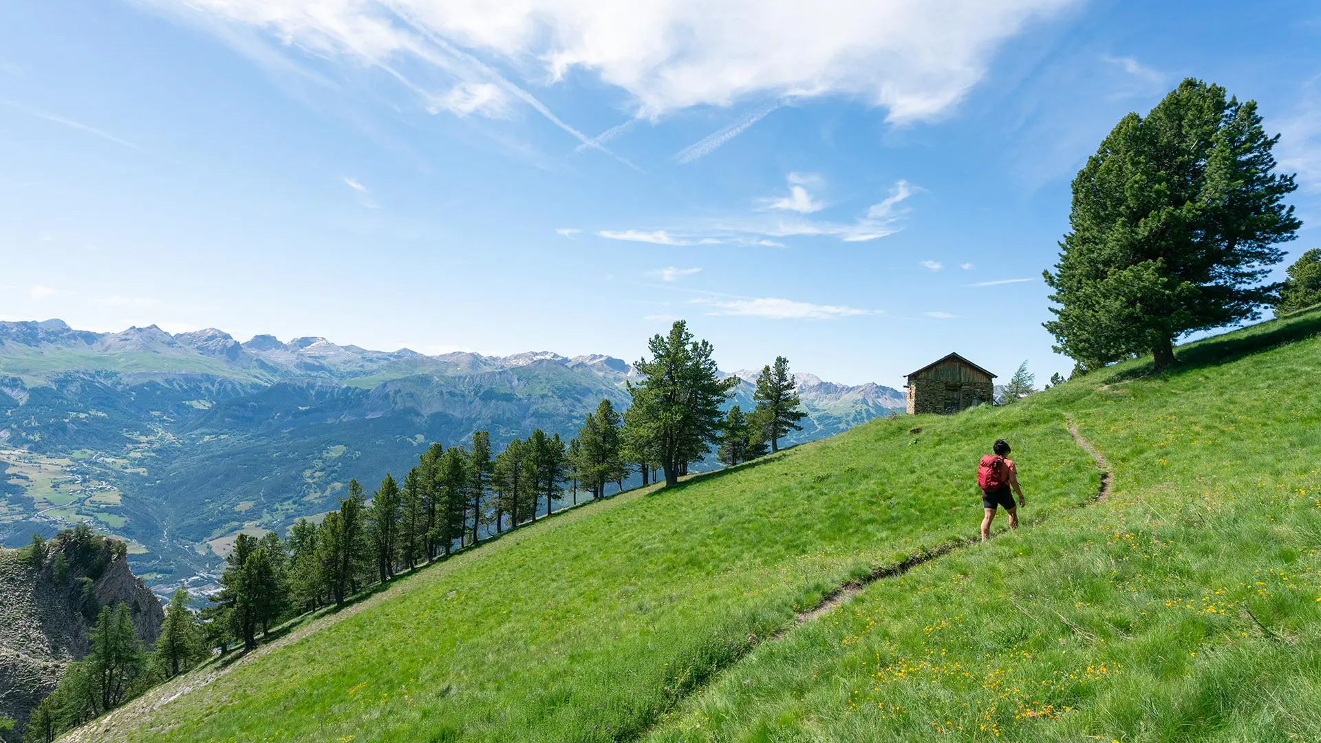
  • From pine forests to the grassy slopes of Pointe Fine, passing by a vertiginous balcony of schist, this route offers varied landscapes and frequent sightings of chamois and mouflons.

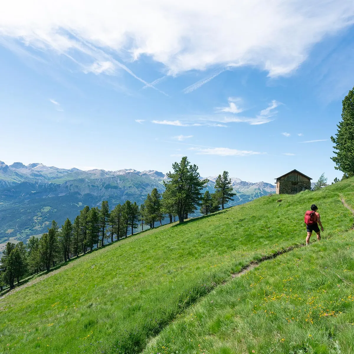
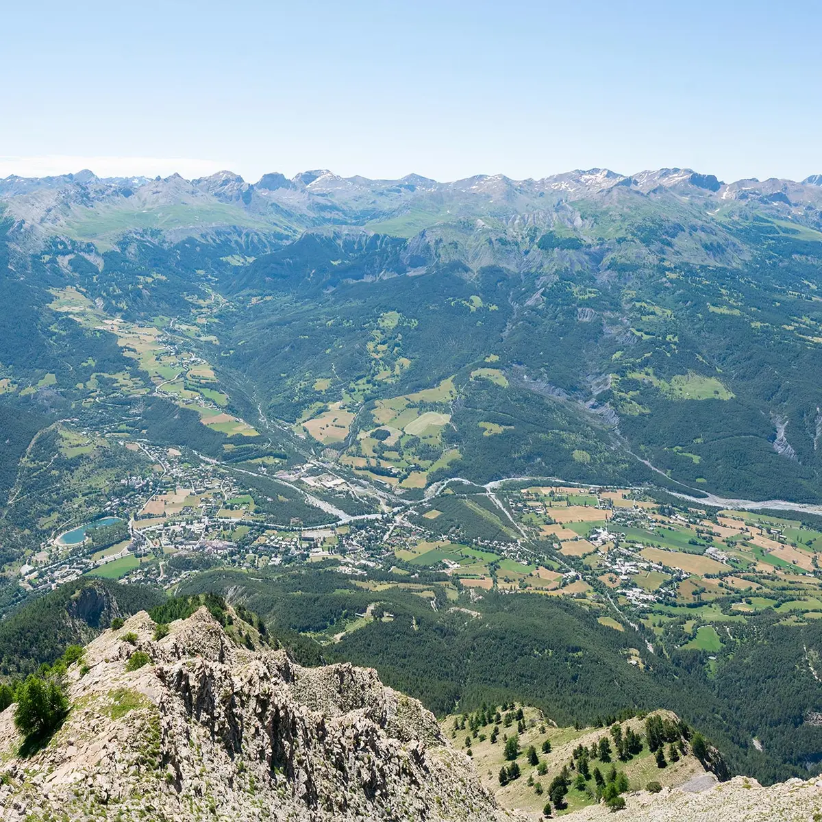
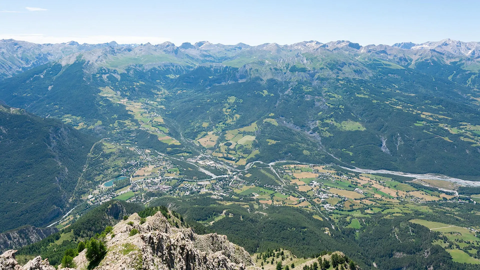
  • From Chanenc, the route climbs through the pine forest and then crosses above the forest. The view of the Ubaye Valley is breathtaking. After the Costebelle hut, the trail climbs to the summit of Pointe Fine. The return journey takes you through the forest via a different route from the one taken on the way up.
  • Departure
    Jausiers
  • Difference in height
    1066.29 m
  • Documentation
    GPX / KML files allow you to export the trail of your hike to your GPS (or other navigation tool)
  • Accepted customers
    • Level black - very hard
1066 meters of difference in height
  • Maximum altitude : 2524 m
  • Minimum altitude : 1510 m
  • Total positive elevation : 1066 m
  • Total negative elevation : -1066 m
  • Max positive elevation : 372 m
  • Min positive elevation : -256 m
Services
  • Services
    • Pets welcome