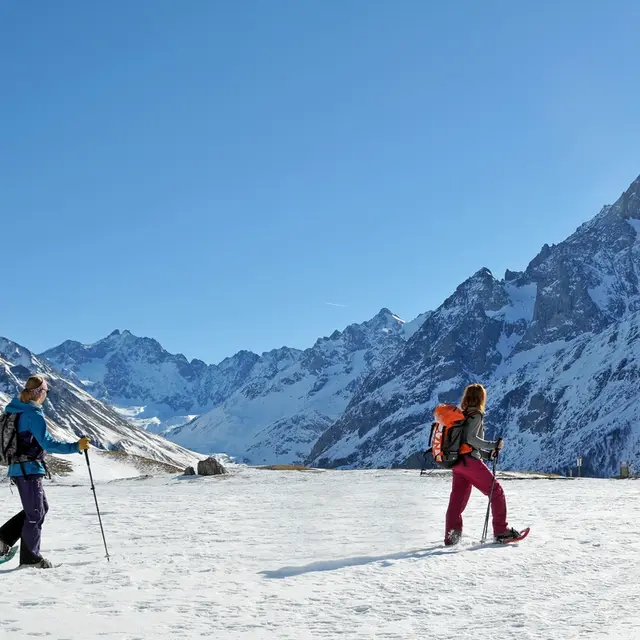
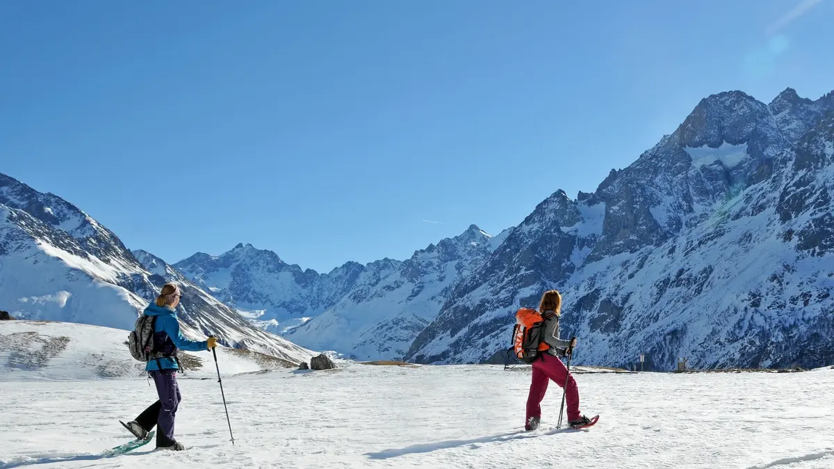
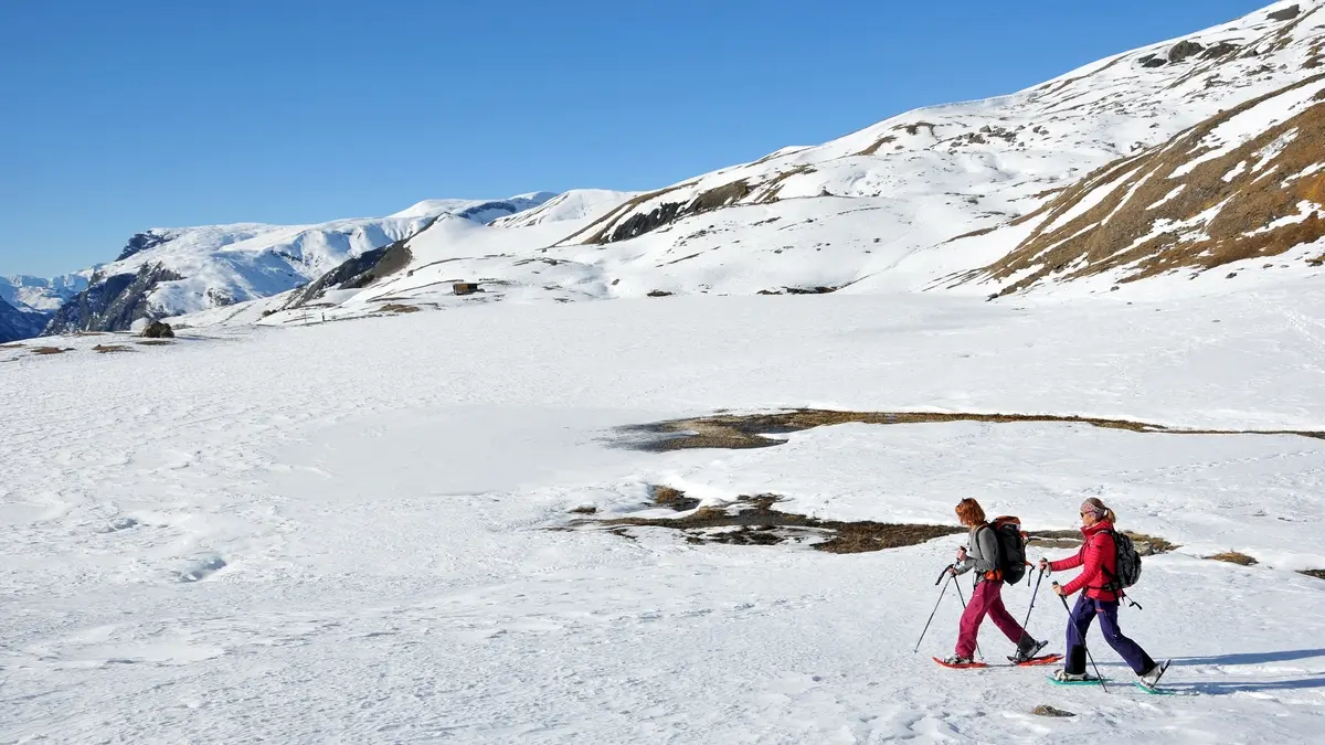
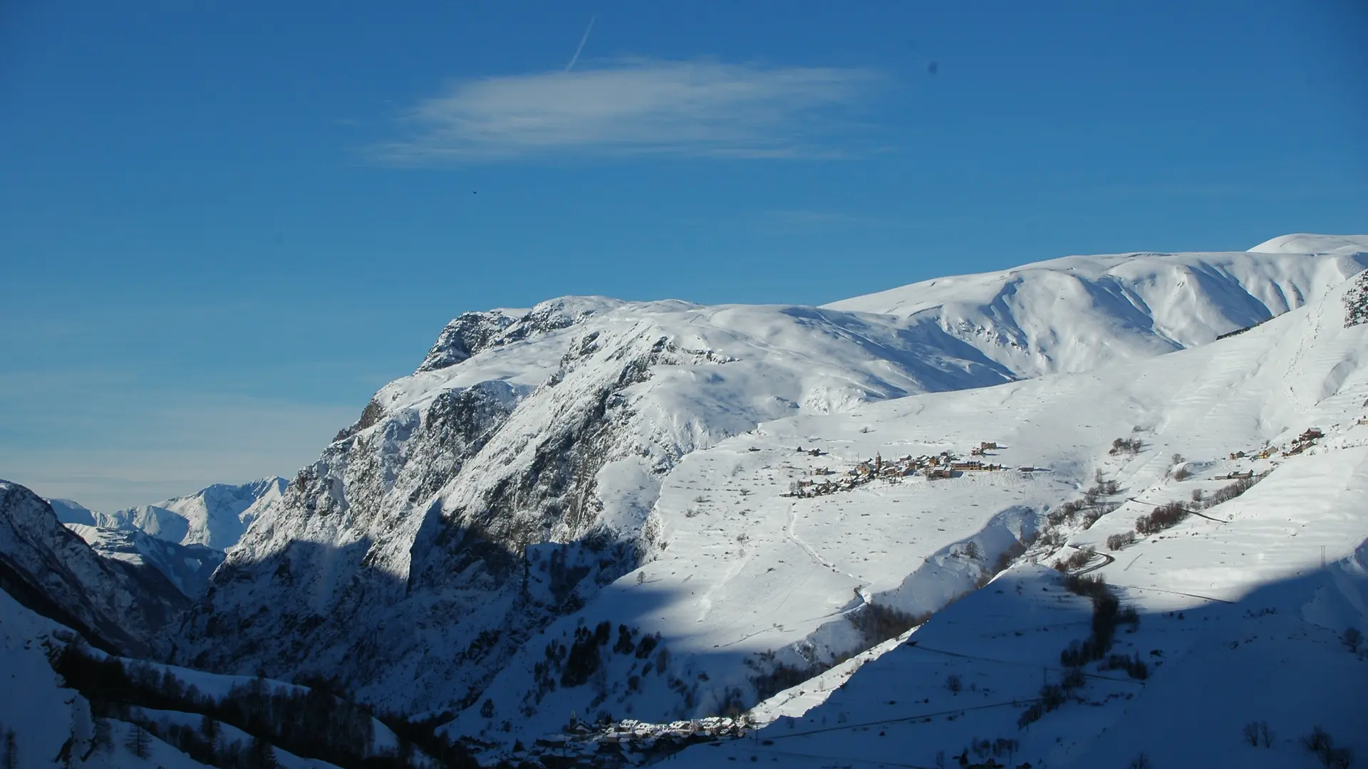
The route offers breathtaking views of the Ecrins Range, from Les Agneaux to La Meije. You can see the Romanche valley, the cliffs of the Emparis plateau and the Lautaret Pass.
Free access. Although the itinerary is marked it does not mean that it is secured. By definition, you will progress in an unpredictable environnent and under your own responsability.
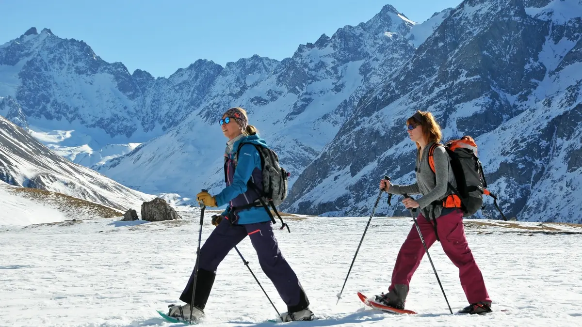
Please make sure to have the right equipment with you such as an avalanche safety kit with a transceiver, a shovel and a probe. And before setting out, check the weather forecast, the snow conditions and the avalanche risk report.
A group of local experts decide whether the route is open or closed, depending on snow conditions. For your own safety, please respect their decision.
You can download the information board in the More Info tab to learn more about how to prepare your winter tour.
Read more