Itinéraire raquettes du site nordique de Saint-Paul

"Pré la Pierre -Itinéraire piéton du site nordique"

Sport, Winter sports, Snowshoe itinerary in Saint-Paul-sur-Ubaye
3.2 km
2h
Medium
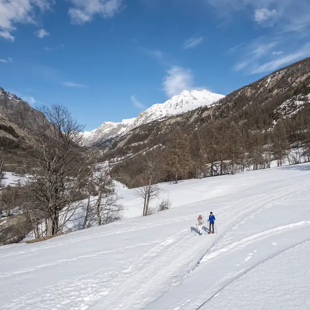
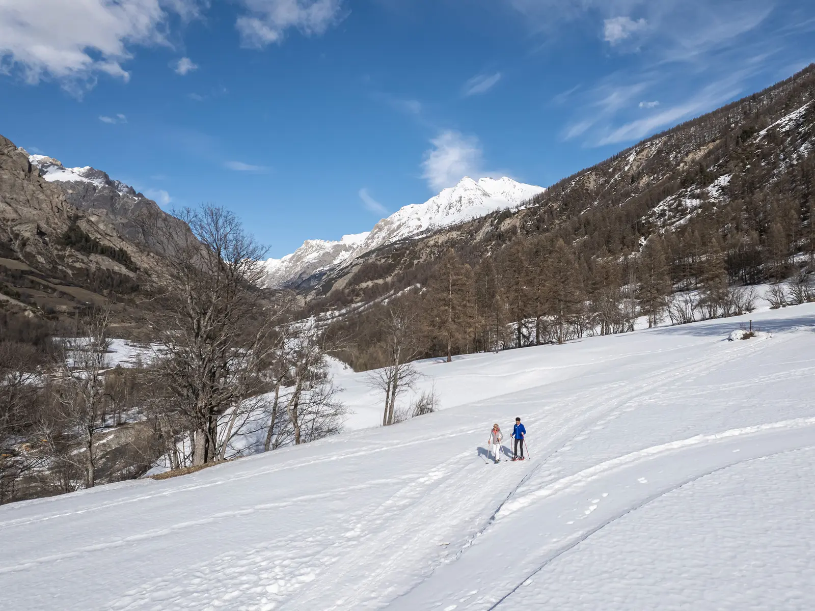
  • This itinerary offers a beautiful setting, with the Ubaye river always nearby.
    Along the way, you'll enjoy views of the bell tower and village of Saint-Paul, as well as the Châtelet bridge, a landmark of the upper valley.

  • The itinerary allows you to discover traces of the old alpine ski resort.
    It can be divided into 2 short circuits depending on your fitness level, taking you along the left bank of the Ubaye.
  • Accepted customers
    • Level bue - Medium
122 meters of difference in height
  • Maximum altitude : 1522 m
  • Minimum altitude : 1438 m
  • Total positive elevation : 122 m
  • Total negative elevation : -122 m
  • Max positive elevation : 56 m
  • Min positive elevation : -49 m