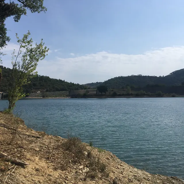
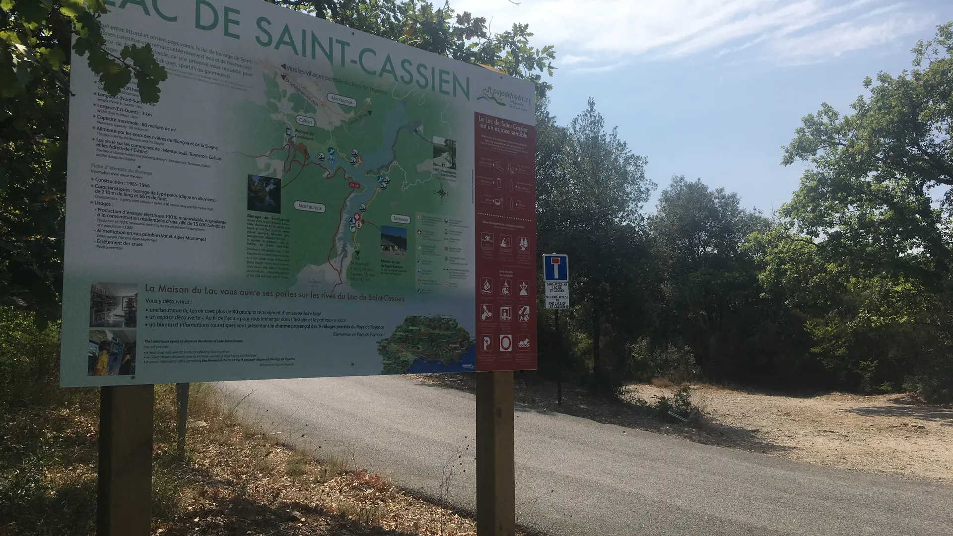
The lake covers an area of 420 ha. It is also fed by a branch of the River Siagne.
The lake is a favourite fishing spot for anglers of all nationalities. The carp and catfish in particular are very large. It also serves as a training area for rowing clubs and a scooping site for Canadair amphibious aircraft during forest fires.
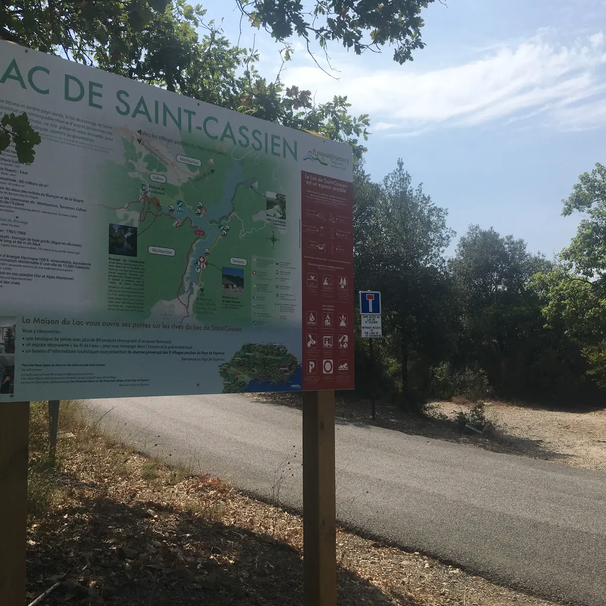
Lac de Saint-Cassien is located in the communes of Montauroux, Tanneron, Callian and Les Adrets de l'Estérel.
After this beautiful walk, don't hesitate to take part in the lake's water activities.
> STARTING POINT
Parking de la citerne n°RN07 on the D94.
Direction "Belluny" district
GPS coordinates: 43.608913, 6.82778
> ITINERARY
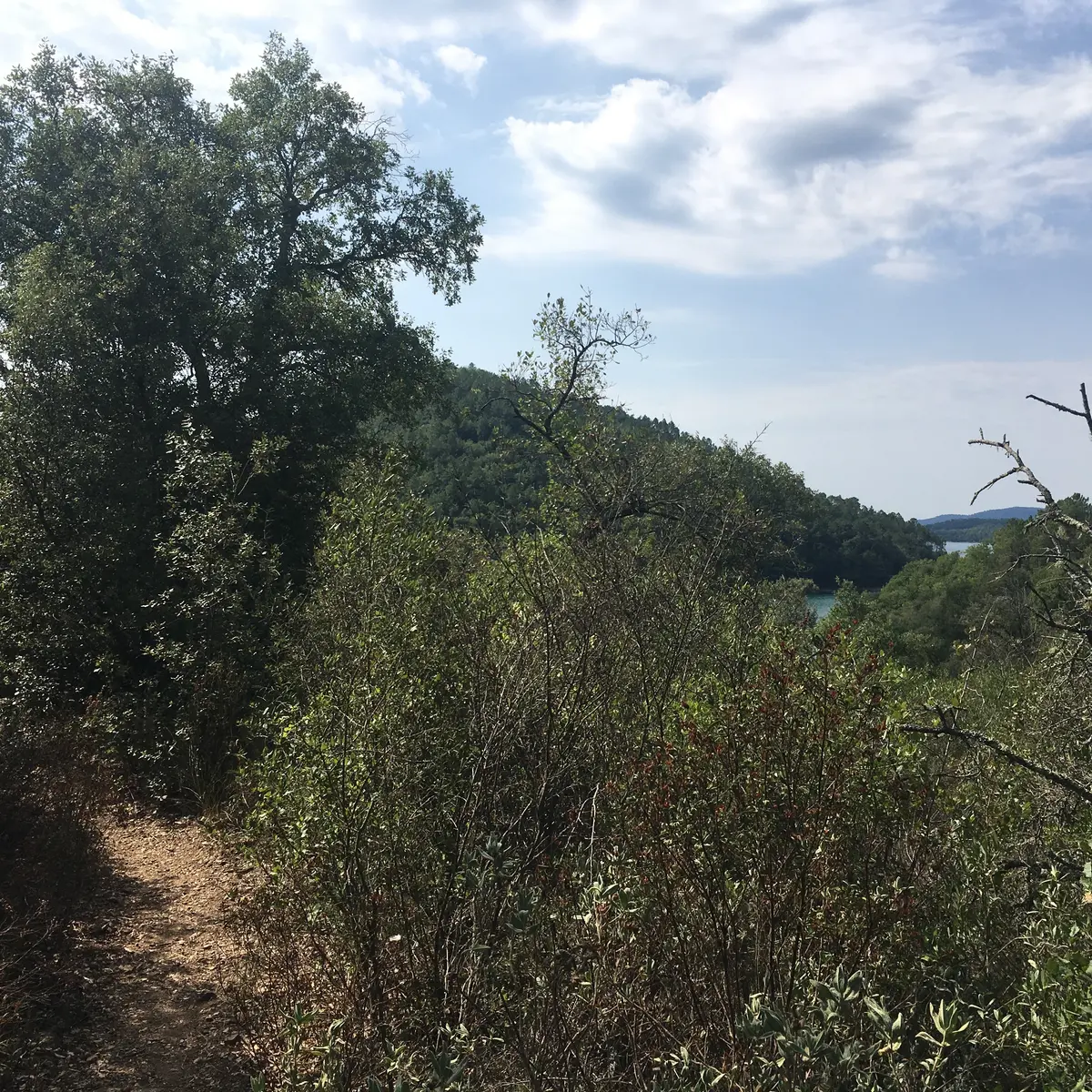
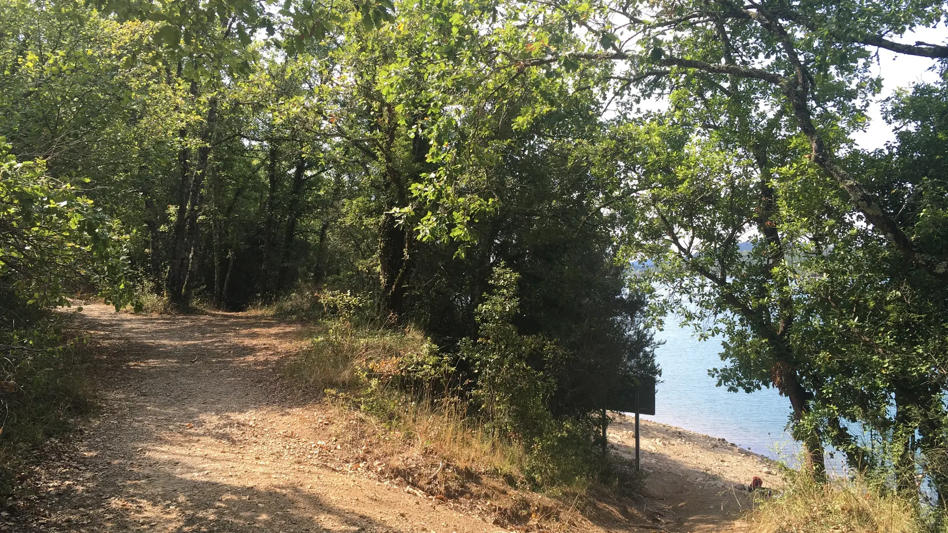
1 - From the car park, at the sign indicating the lake, cross the road and take the H14 Grange Vieille track, which runs alongside the lake and reaches the ruins further on.
2 - At the ruins, take the left-hand path through more ruins until you reach a fork in the path.
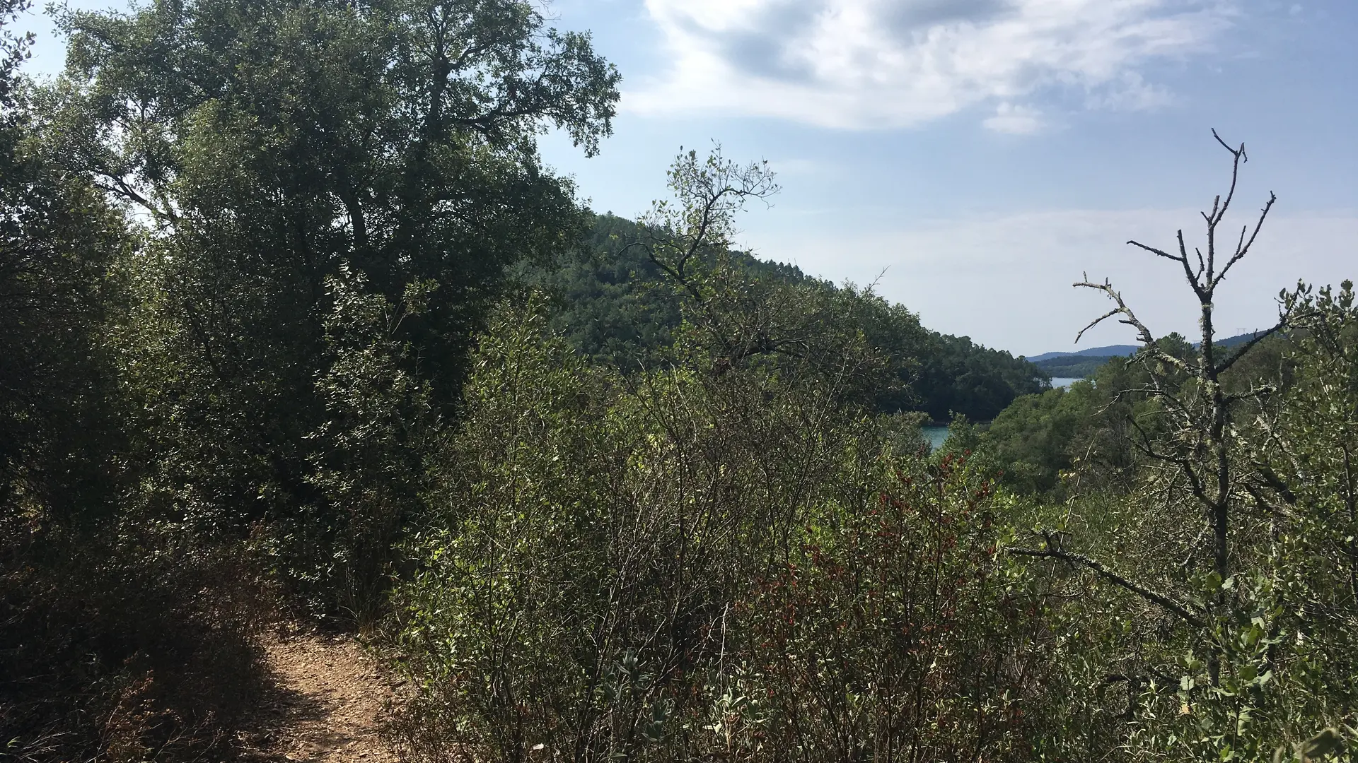
3 - At the fork, ignore the path that goes left uphill and go straight ahead. Immediately at the next fork, take the small path that descends to the right into the undergrowth.
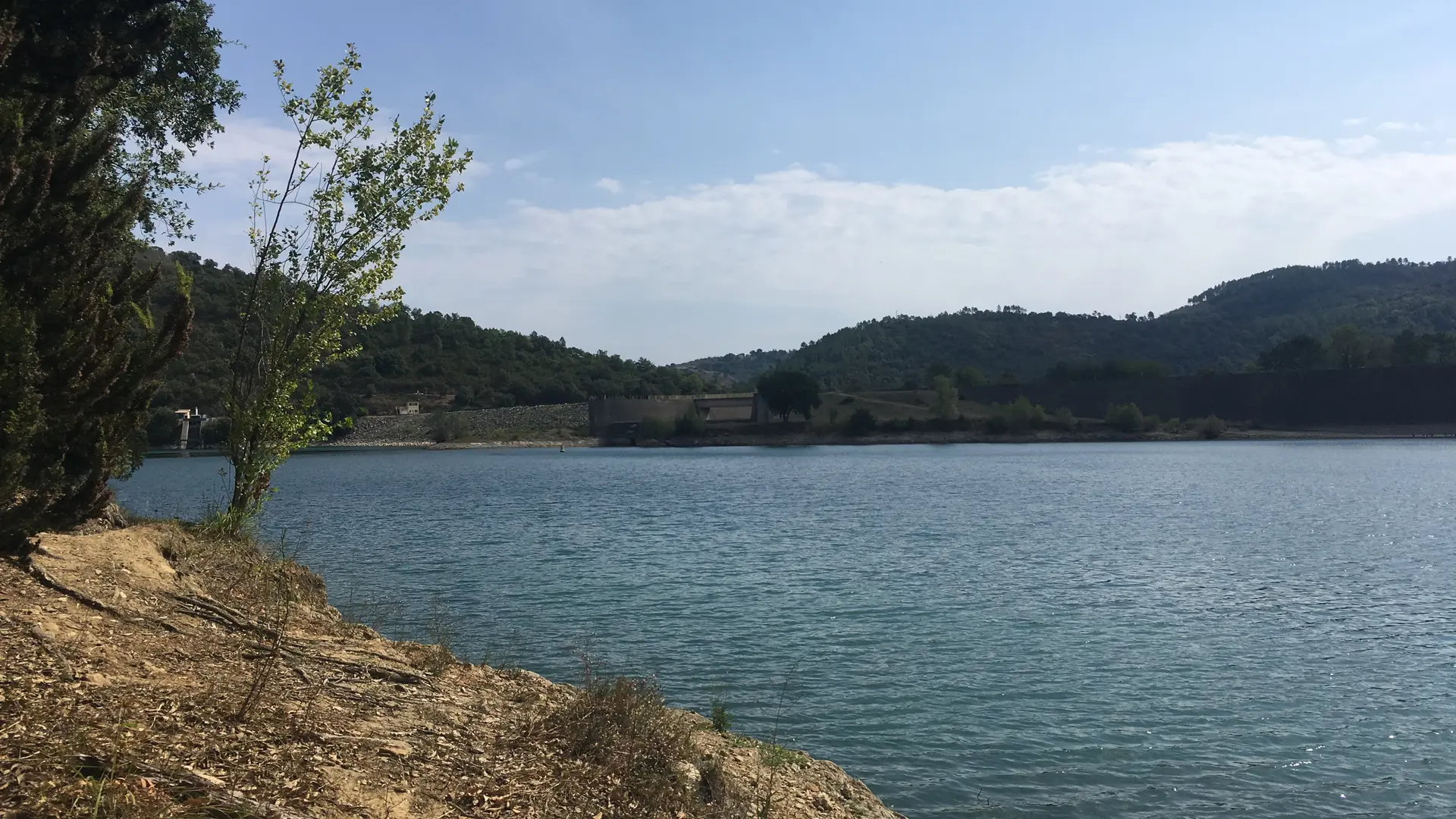
4 - At the bend to the right, take the small path to the left that leads to the edge of the lake, opposite the dam.
5 - Take the same route back to the car park.
WARNING!
The peak opposite the dam is a sensitive area!
Swimming and fishing are prohibited and dangerous.
The site is home to bird nesting areas, so please respect the area!
Read more