See photos (6)

Promenade : Vers la forêt domaniale - Tourrettes

Sport, Pedestrian sports, Hiking itinerary in Tourrettes
6.4 km
2h 30min
Medium
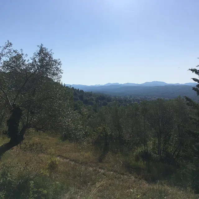
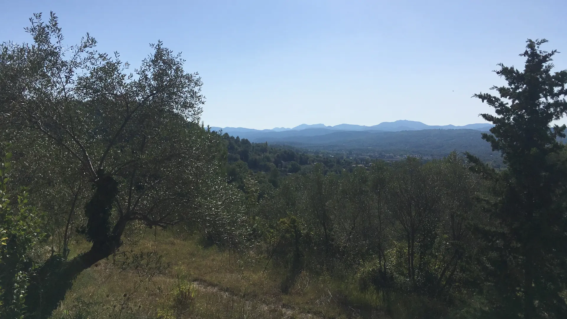
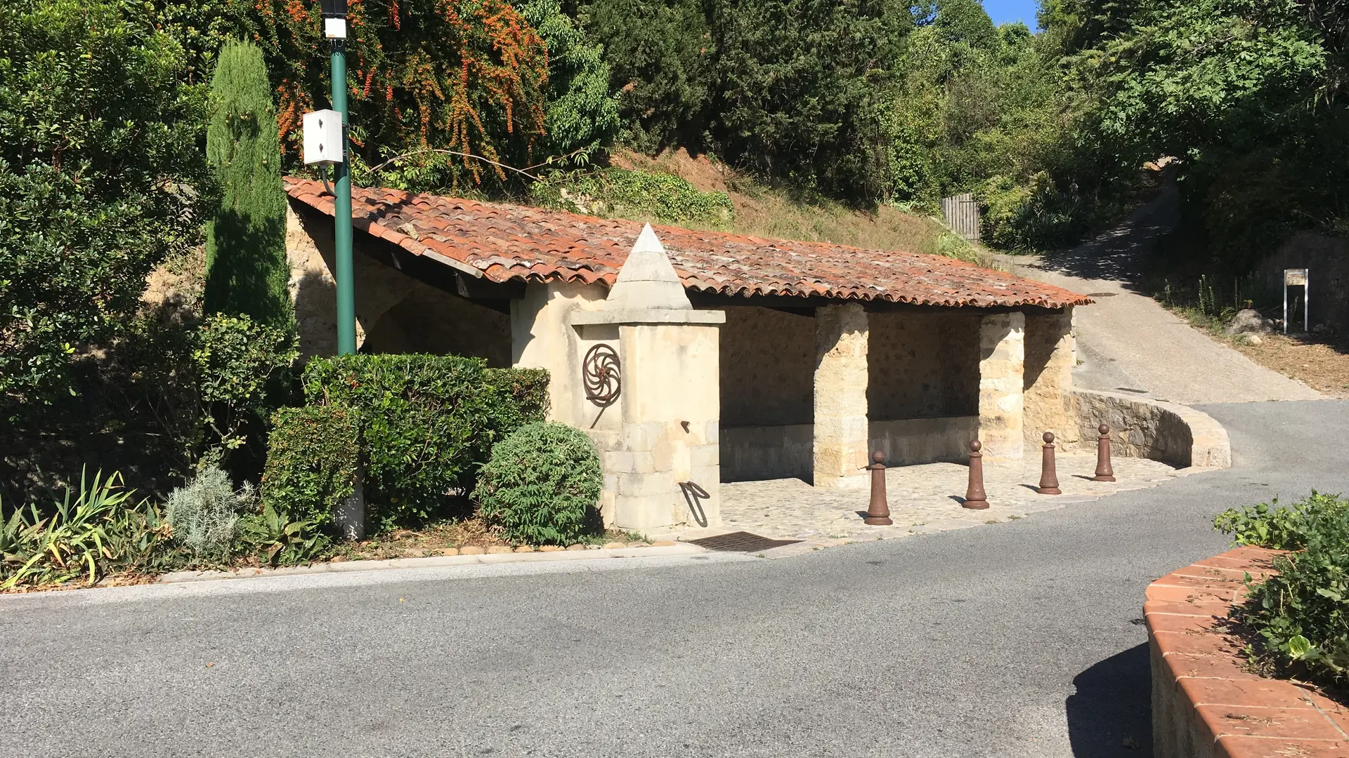
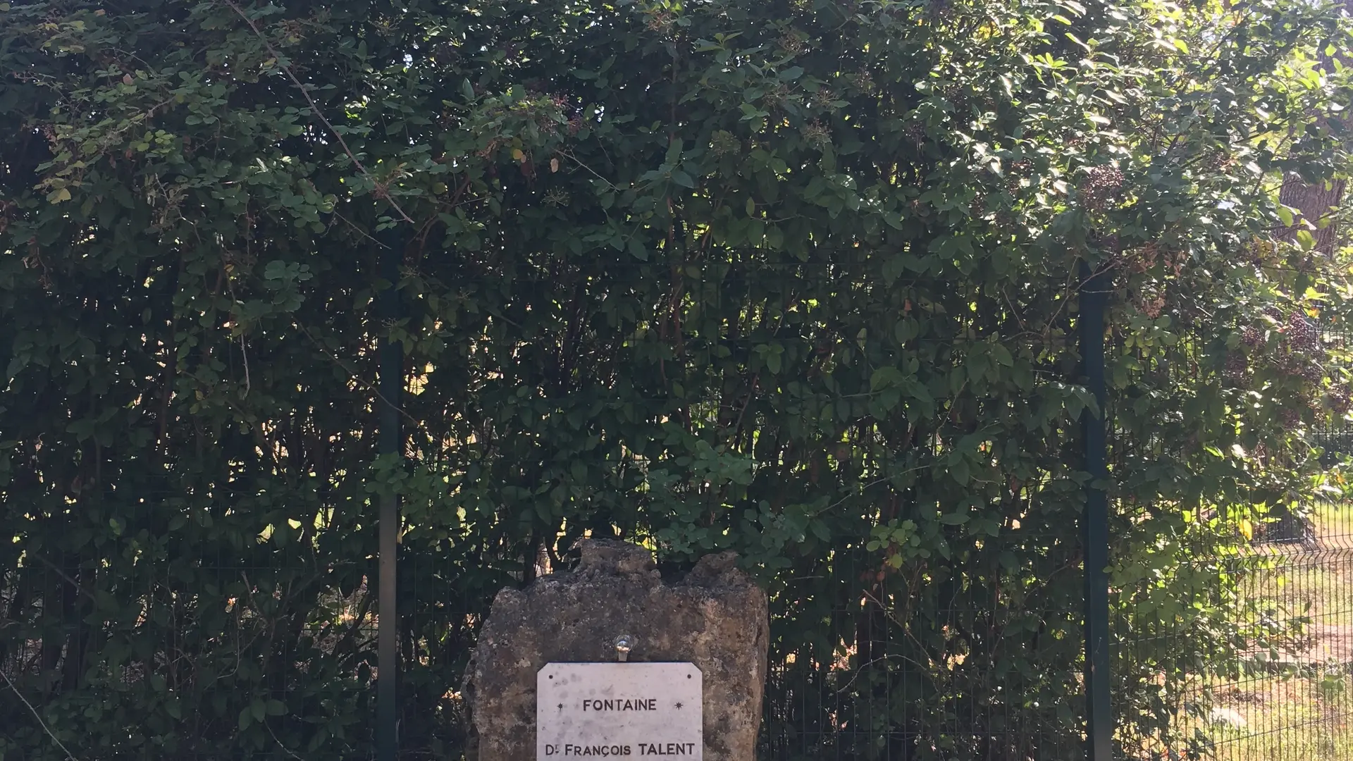
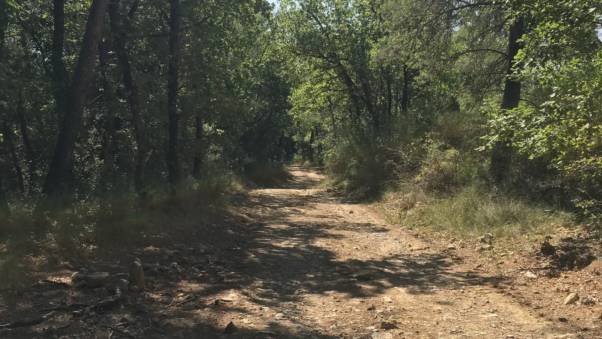
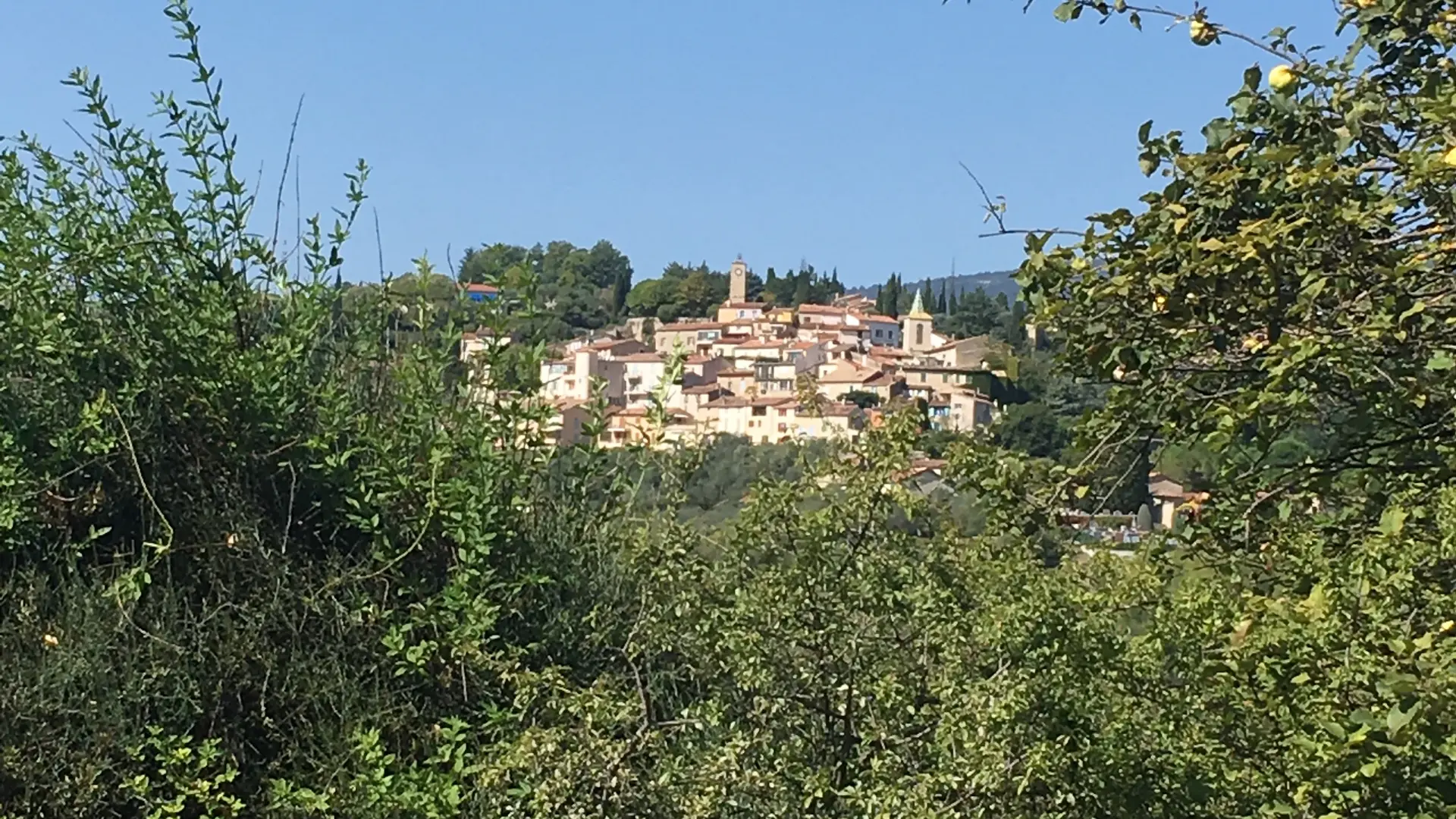
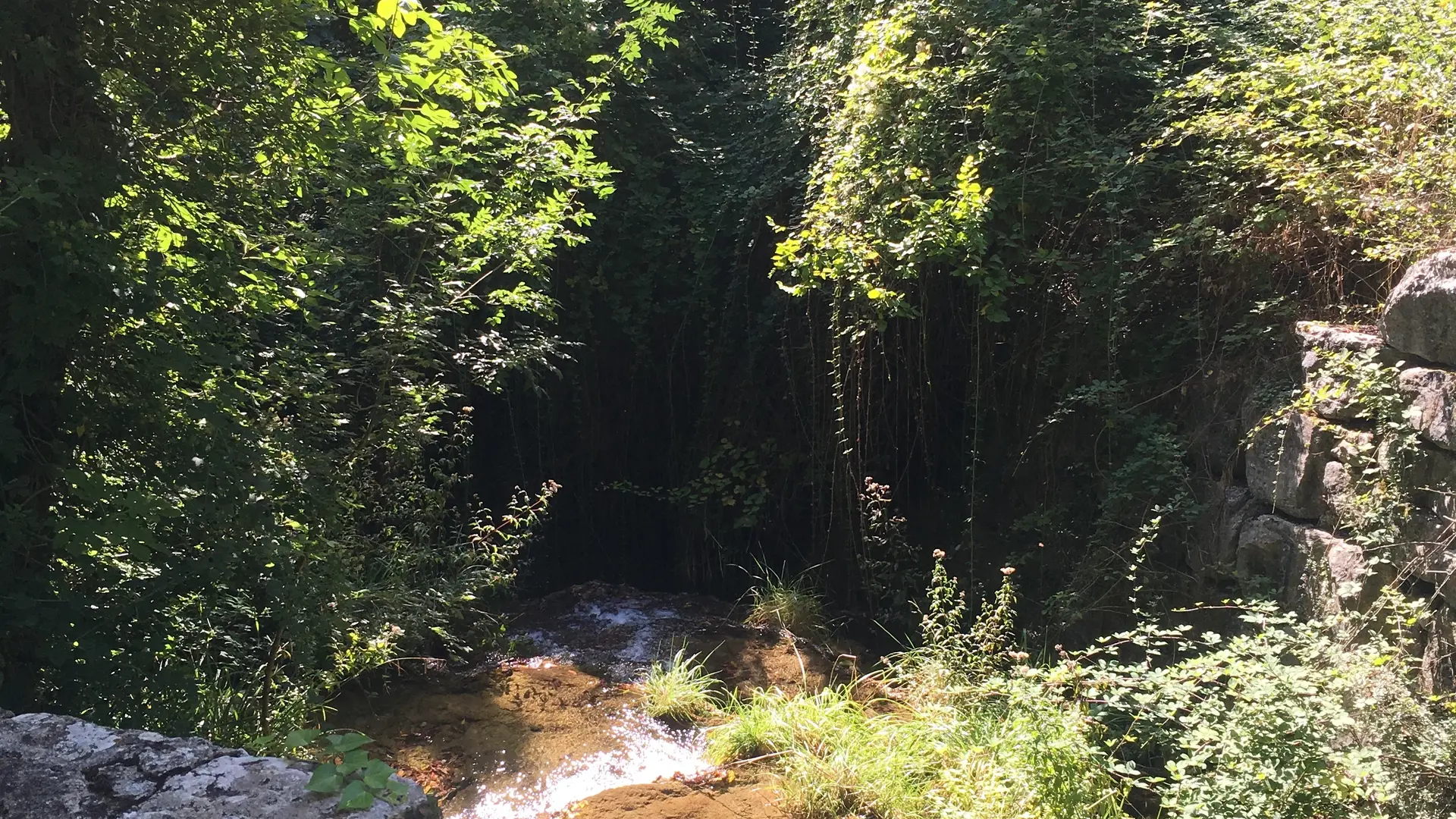
  • On this walk, you'll discover the restored old Boudoura washhouse and the ruins of the burnt-out Moulin, now disused. The forest is bordered to the north by the Siagnole, to the south by the Camiole and to the west by the Chautard. Que d'eau, Que d'eau!

  • Departure
    Tourrettes
  • Difference in height
    171.667 m
  • Plain text period
    All year round.

    Subject to favorable weather.
  • Environment
    • Close to GR footpath
    • Overview on river
    • Forest location
    • Village centre
    • Close to a public transportation
  • Documentation
    GPX / KML files allow you to export the trail of your hike to your GPS (or other navigation tool)
  • Accepted customers
    • Level bue - Medium
172 meters of difference in height
  • Maximum altitude : 405 m
  • Minimum altitude : 265 m
  • Total positive elevation : 172 m
  • Total negative elevation : -179 m
  • Max positive elevation : 48 m
  • Min positive elevation : -76 m
Services
  • Equipment
    • Free car park
    • Car park
    • Public WC
  • Services
    • Pets welcome
    • Motorhomes allowed
    • Restaurant