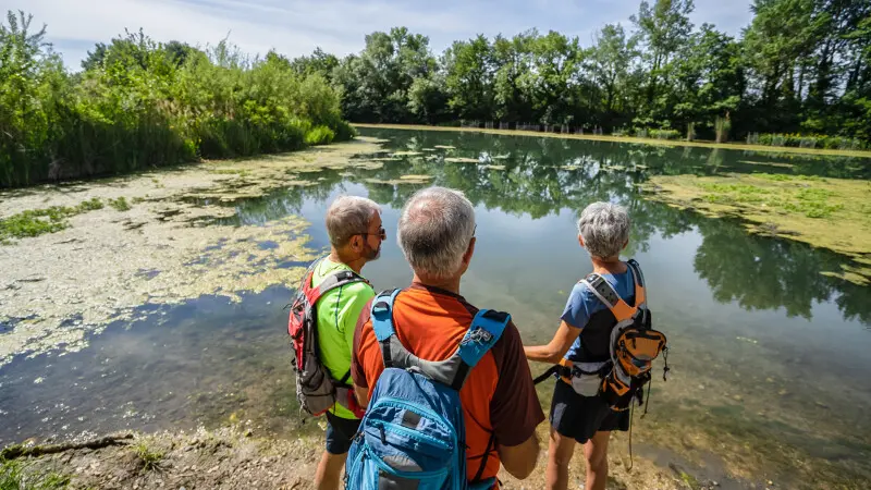
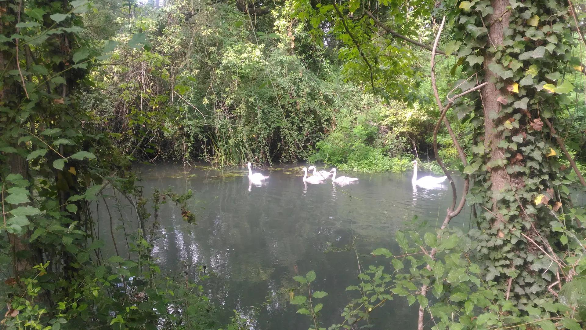
Located on the banks of the Rhône, Islon St Luc is part of a Natura 2000 protected area. The area is of particular interest for its flora and fauna, and boasts a beautiful natural ensemble with a wide variety of species and natural habitats.
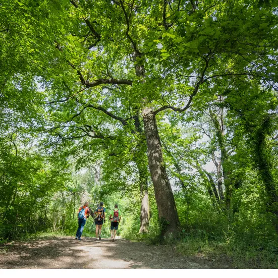
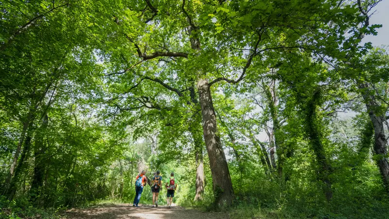
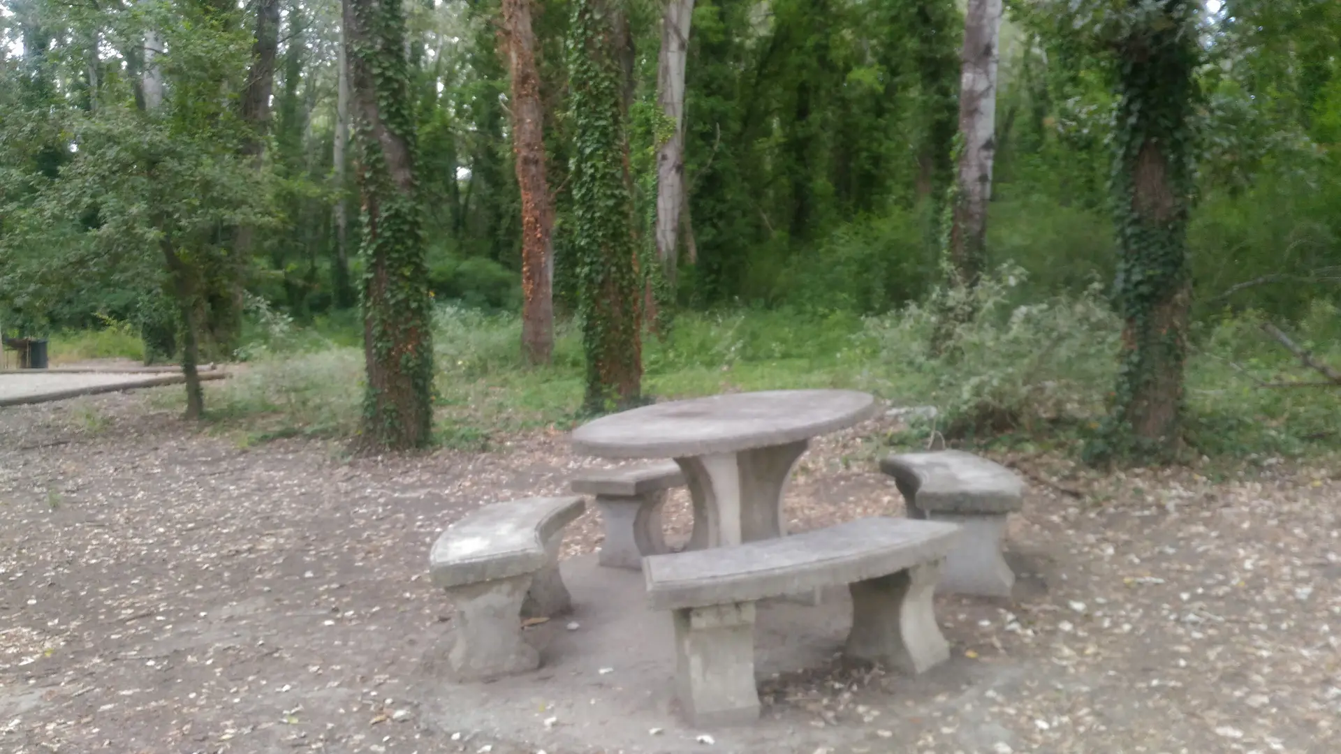
Trees are dotted all over the area making it a nice place where families and older generations will enjoy going for a walk. Joggers and ramblers can make use of the health circuit set up there. Picnics can be enjoyed on the stone benches and tables in the shade of tall trees.
Make sure you visit the Arboretum set up by the town of Châteauneuf-du-Pape and the National Forestry Office. It gives you the opportunity to find out about some surprising varieties of trees.
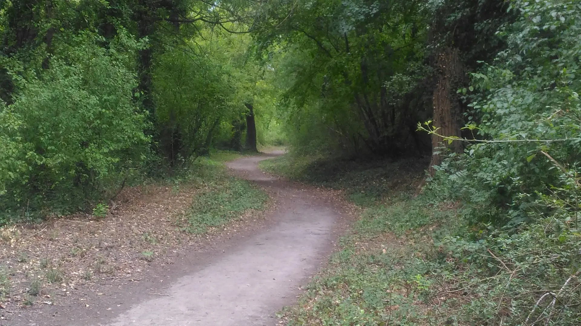
L’Islon is the starting point for discovery trails such as the ecological trail, which invites visitors to (re)discover the natural heritage of Bras des Arméniers (distance: 2 km). Information panels along the way explain how the natural environment of Islon Saint Luc works.
This is also the starting point for the Châteauneuf-du-Pape natural heritage trail. It goes along the banks of the Rhone and the converted towpath. It features a series of historic and environmental information panels.
10 km circuit.
A map of the two walks are available from the Tourist Office.
Read more