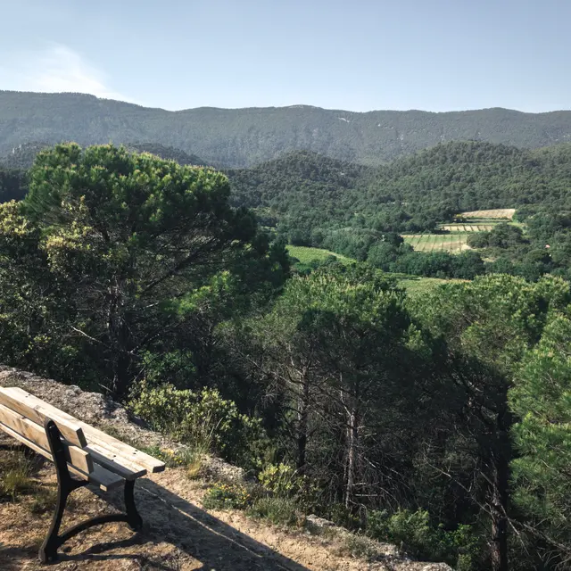
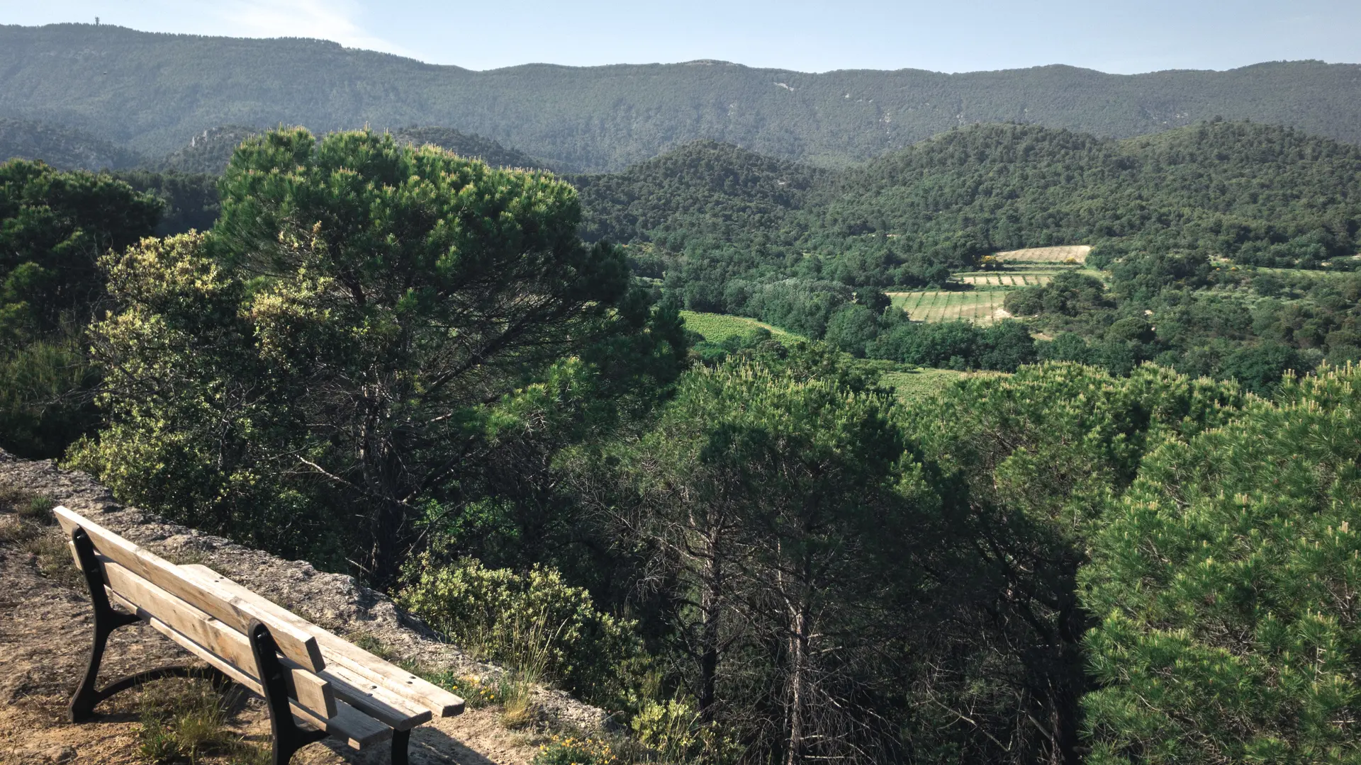
From the town hall, go up the slope of the Gaye, then take a left at the fountain. At the crossroads "Cime de Vière", turn right and take the rise. The tar gives way to a track. Take the track and head towards the massif along the farmlands. Then, 350m after a left turn, reach a small mountain pass. Continue straight on the track.
1 - At the crossroads "Le Couleron" (point 586), continue on the track to the right. Pass the sheep pen Jas de Pécou, then the "Ravin du Loup", and finally reach a tank (point 609).
2 - At the tank, turn right and go down the path. Lower down, go back on the track and continue down to reach a paved road. Continue straight along several croplands and reach the altitude point 439, 1km / less than a mile further.
3 - Take a right onto the path. After the grove, move forward between two fields, go straight at the next intersection, then cross the "Ravin du Loup" to the right. Continue by passing several houses, turn left once and come out on the upper streets of Cabrières d'Aigues.
4 - At the crossroads, turn right and take an immediate right again. At the bottom of the ramp, turn left to return to the starting point.
Read more