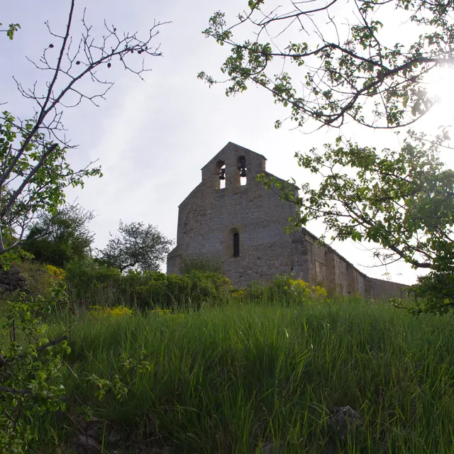
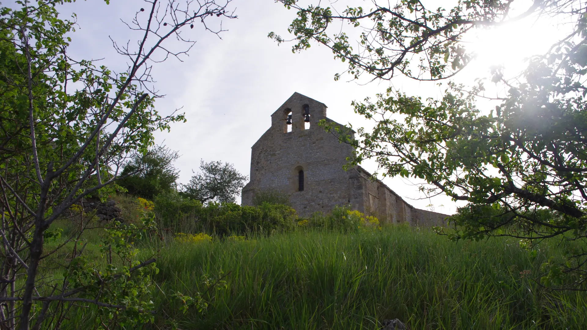
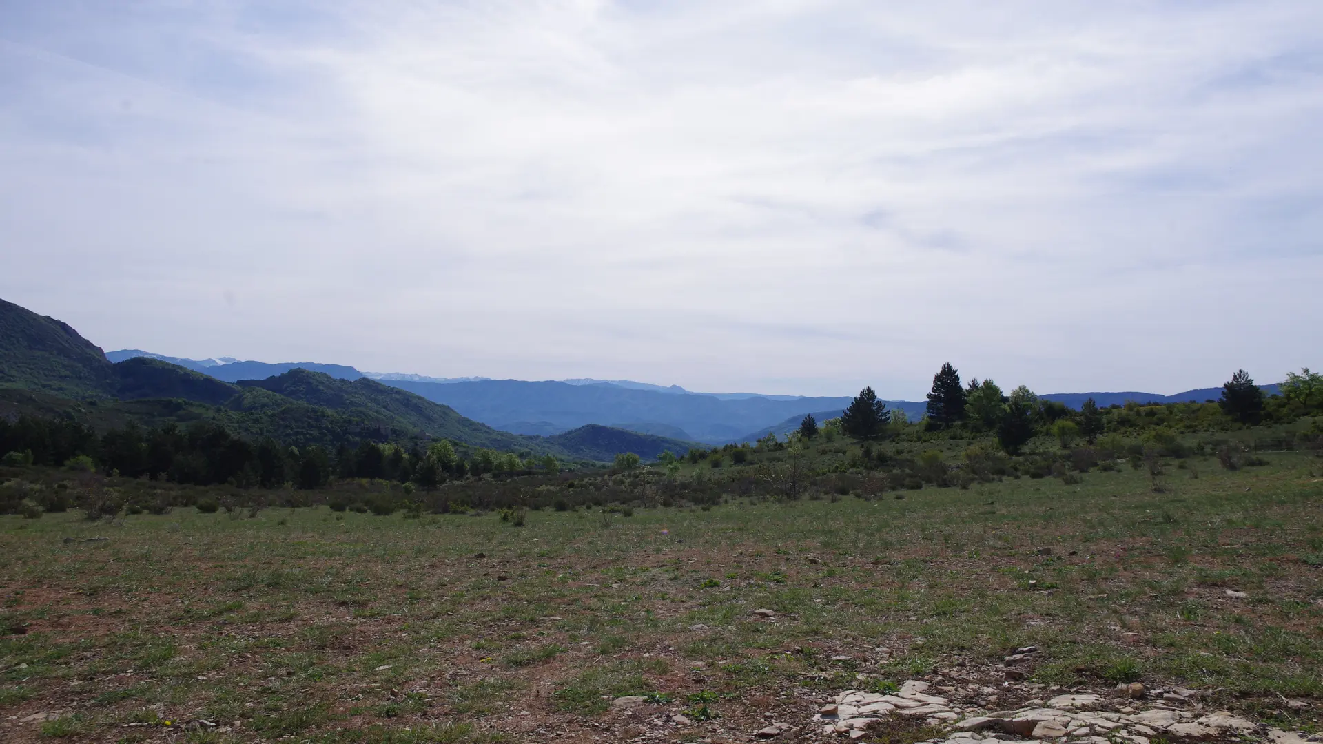
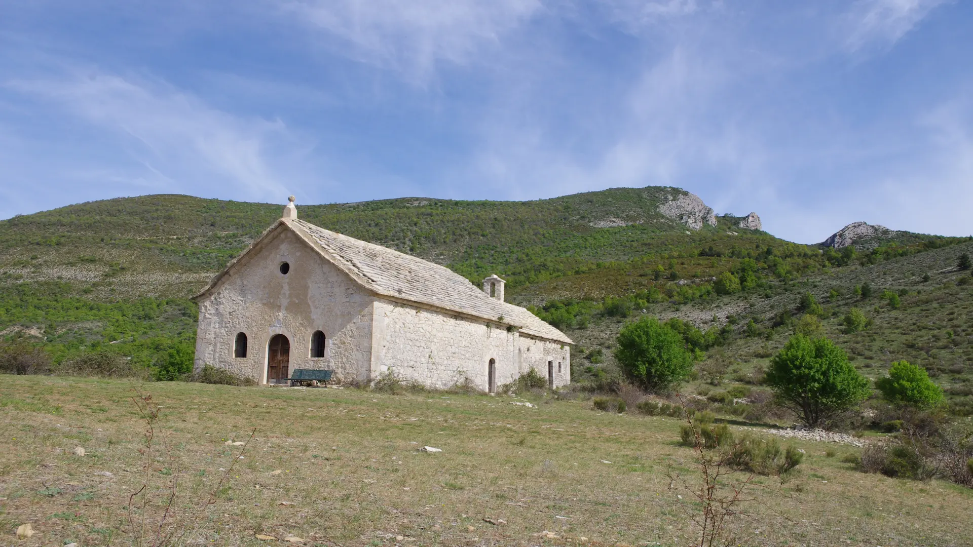
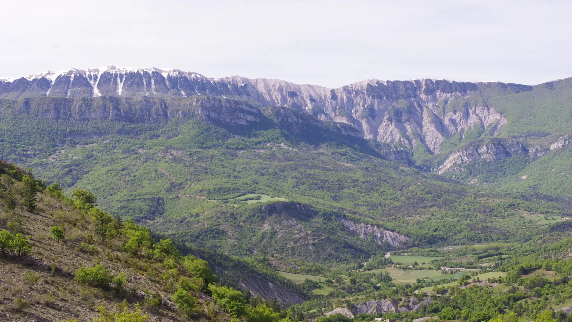
- Voir les favoris
See photos (8)
Randonnée Trail - De l'Adret à l'Ubac
Sport, Pedestrian sports, Trail route
in Noyers-sur-Jabron
30.4
km
3h 45min
Hard
-
This route follows the Adret of the first Baronnies mountains to the north and the Ubac of the Montagne de Lure to the south. A red route that takes you from the sunny side to the cooler side of the Montagne de Lure.
- Departure
- Noyers-sur-Jabron
-
-
Difference in height
- 1550.67 m
-
-
-
Plain text period
- All year round.
-
-
-
Spoken languages
-
-
-
Documentation
- GPX / KML files allow you to export the trail of your hike to your GPS (or other navigation tool)
-
-
-
Accepted customers
-
- See all reviews
- 1551 meters of difference in height
-
- Maximum altitude : 1154 m
- Minimum altitude : 546 m
- Total positive elevation : 1551 m
- Total negative elevation : -1551 m
- Max positive elevation : 318 m
- Min positive elevation : -559 m
Services
-
-
Equipment
-

