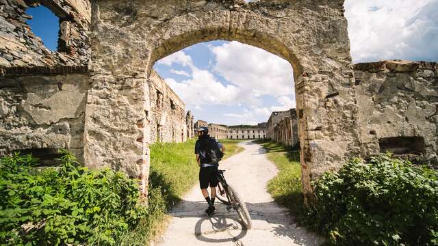
Stage 1 VTT(AE) of the Haute Route du Sel (direction Tende - La Brigue): A panoramic ride to discover the military heritage of the Col de Tende.
This trail can be ridden on a classic mountain bike (pro level) or on an electrically-assisted mountain bike. It is the first stage of the Haute Route du Sel itinerary (direction Tende - La Brigue) and can be done as a simple return trip.
From the hamlet of Casterino (1550m), continue on the main road, passing the last inn in the direction of "Baisse de Peïrafique". At marker 369, continue north to reach the summit of the Baisse (2040m) at marker 370. Beginning of the first fortifications, with several casemates around Mont du Gratin and the former barracks of the Italian alpine hunters.
At marker 376, continue north to reach marker 365.
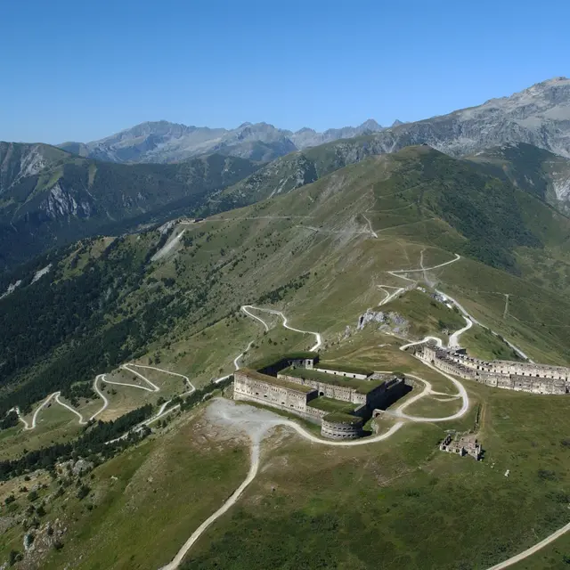
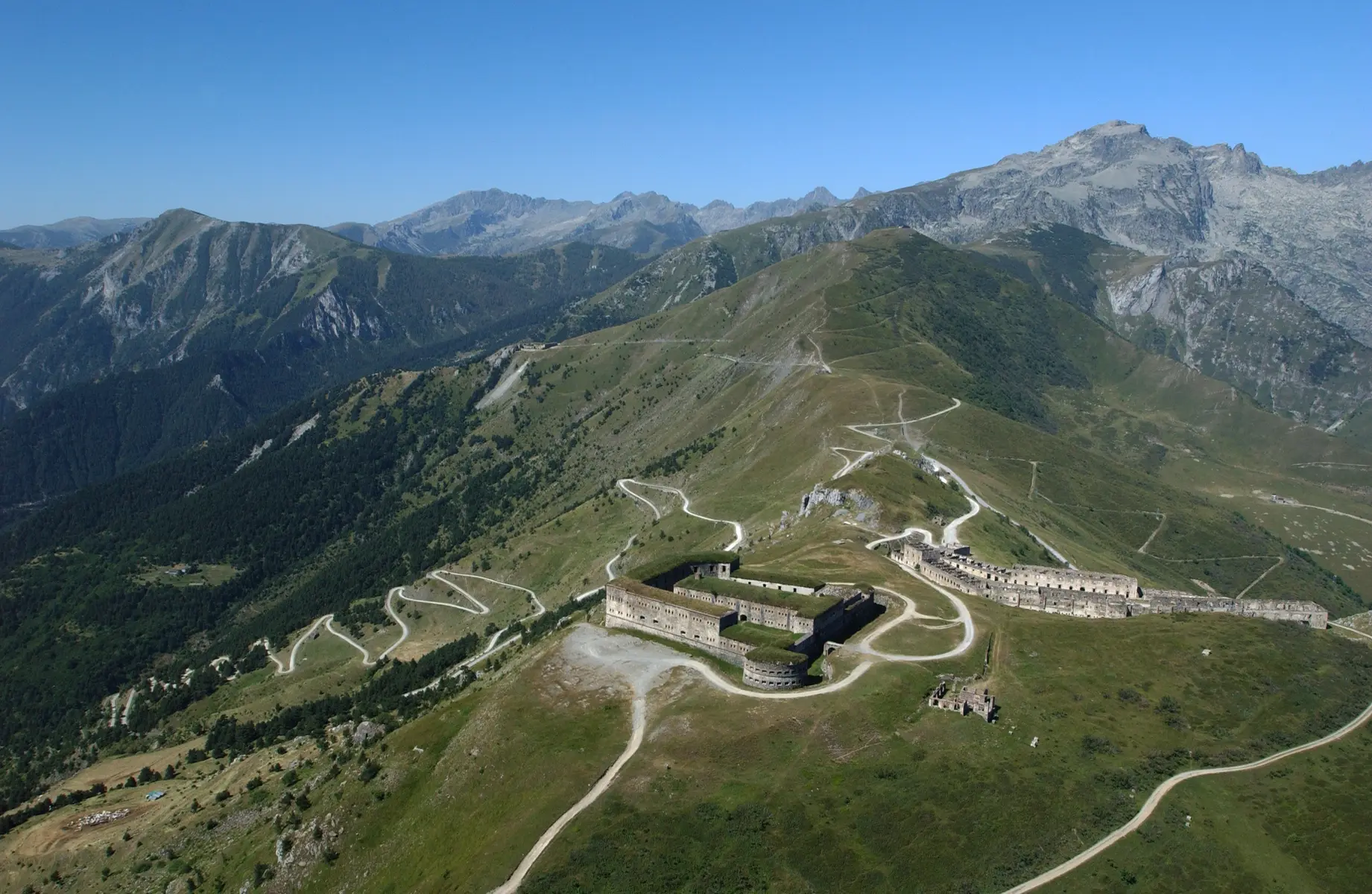
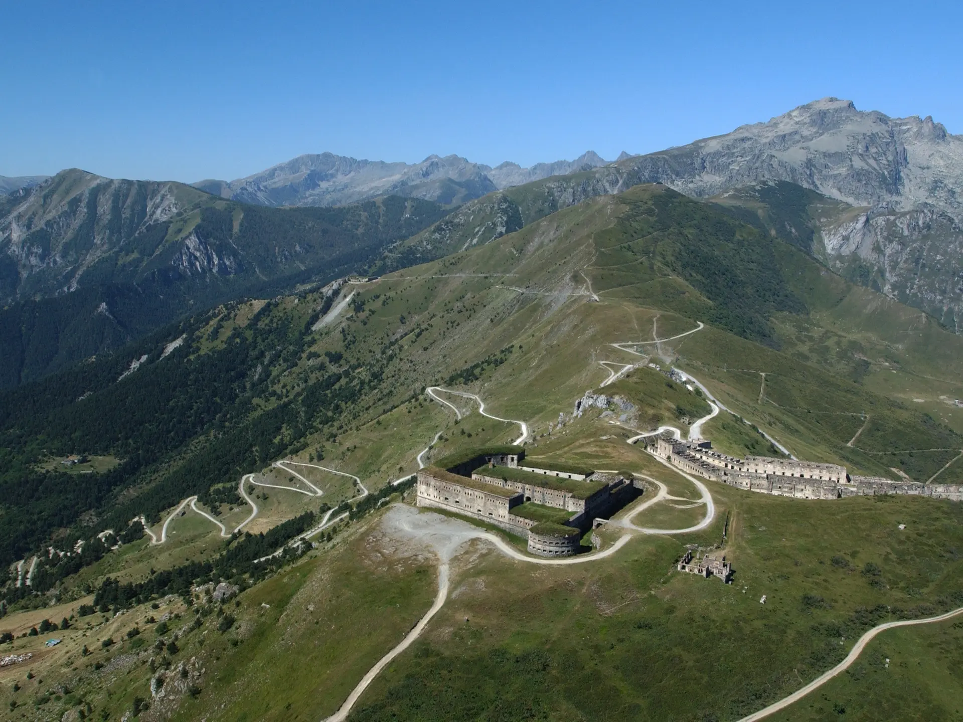
At this point, continue along the ridge line towards Italy. After 3.5 km, you'll see Fort de la Marguerie on your right, and Fort Pernante on the opposite side. Another 2.5 km to Fort Central, the most important building marking the border with Italy, and your arrival at the top of the Col de Tende.
You can continue on the Italian side of the high salt road.