See photos (3)

Réallon Fort

Sport, Pedestrian sports, Hiking itinerary in Réallon
3.8 km
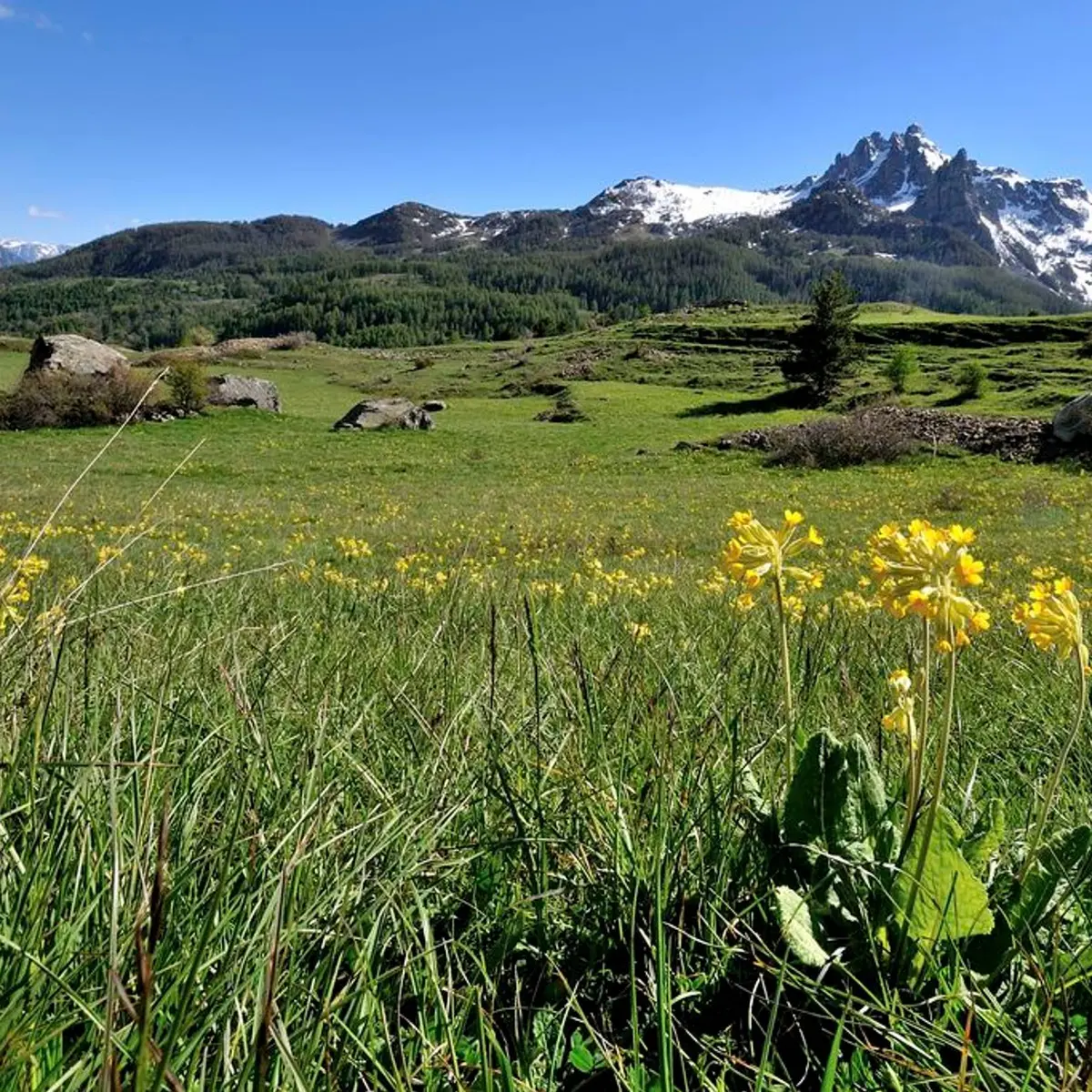
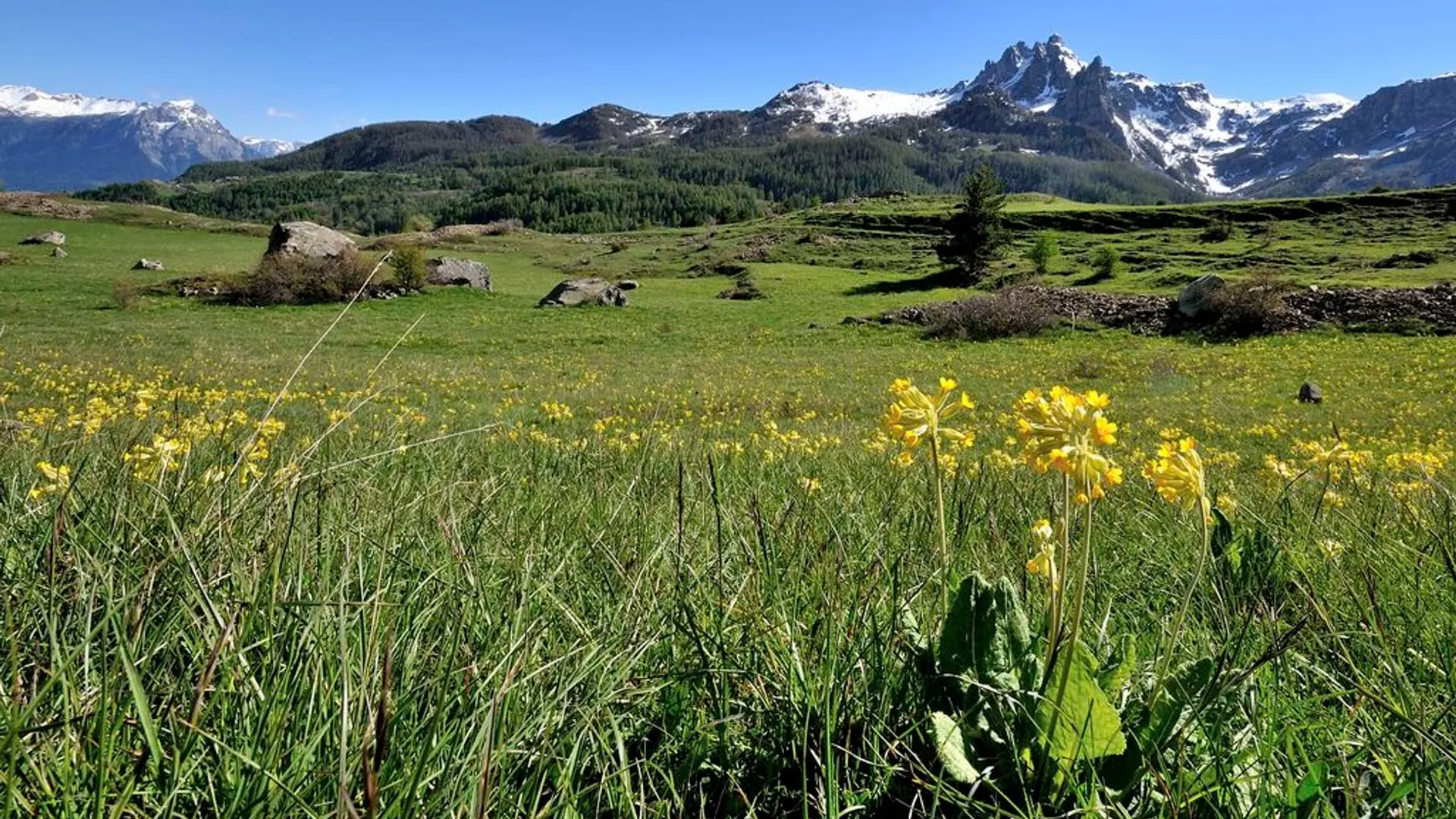
  • A small climb above a picturesque village... From one bend to another the panorama is more and more stunning until you arrive unexpectedly on a plateau.
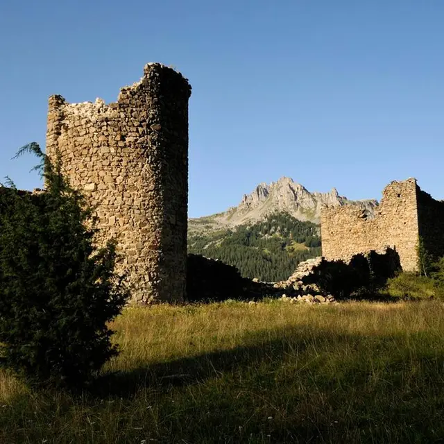
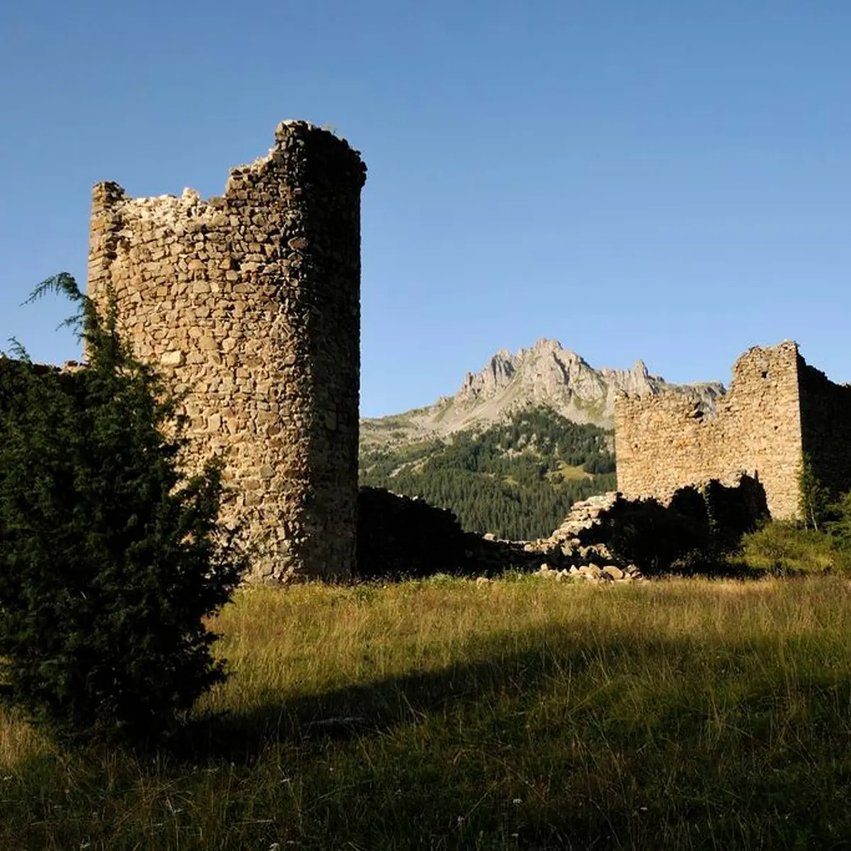
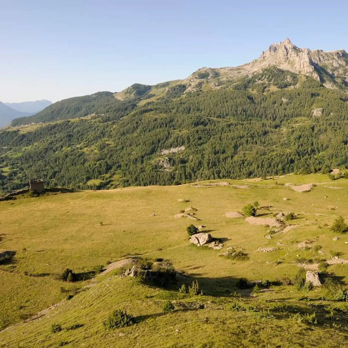
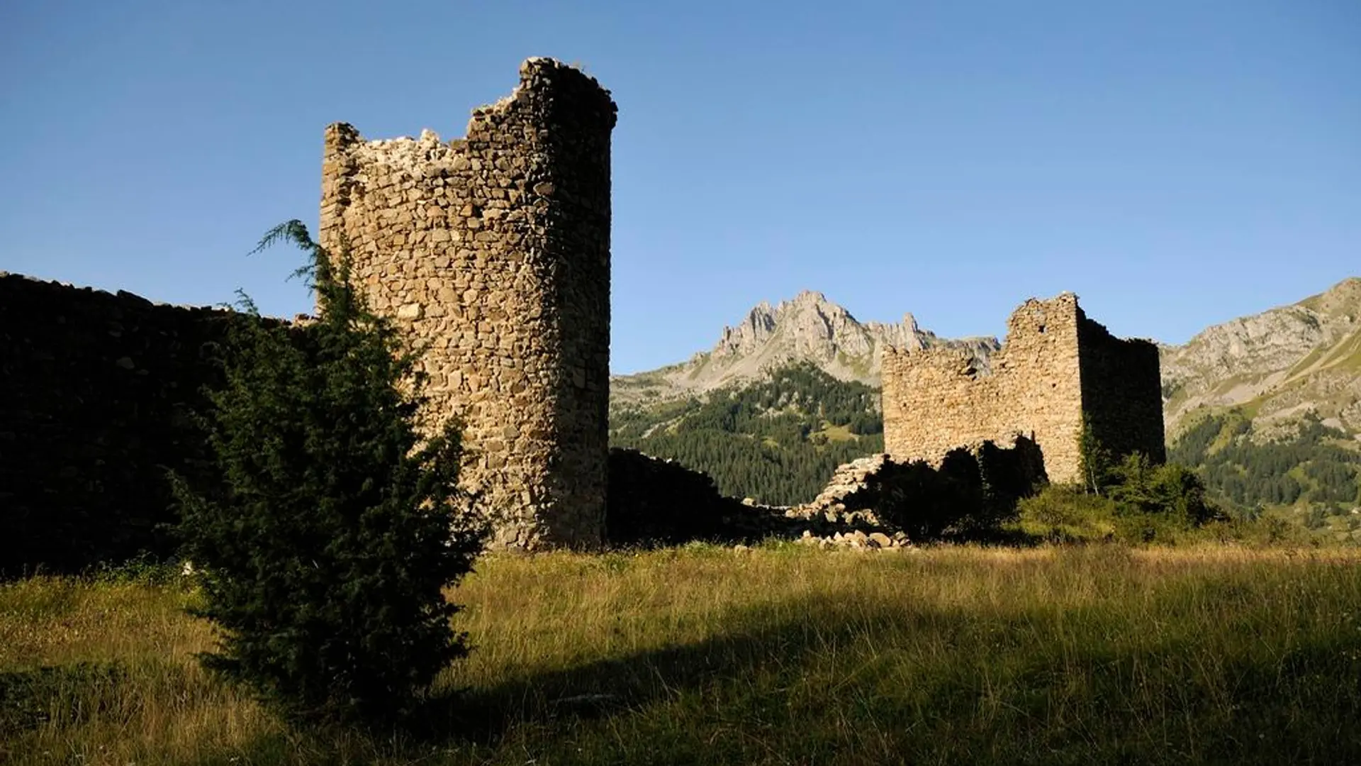
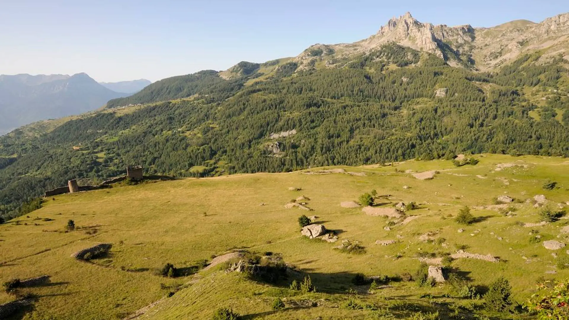
  • From the carpark, start by following the Pisse torrent, channeled at the bottom by a dam which protects Réallon village. On the left, look out for the remains of the low dry stones walls which bear witness to ancient agricultural terraces. Then follow to the left taking a bending path that crosses a small forest of oaks and pines.

    Easy
  • Departure
    Réallon
  • Difference in height
    322 m
  • Departure : Réallon.
    Road access : From Savines-le-lac, to just after the bridge, take the road to Réallon. At the village, just after the wooden bridge, turn right and go up a distance of 200 metres to park in the Coste carpark. .
    Parking recommended : Coste carpark .
    Public transport : A shuttle service can be reserved at Chorges station to Réallon station (remember to reserve it 36 h in advance on 05 voyageurs or on 04 92 50 25 05). .
  • Documentation
    GPX / KML files allow you to export the trail of your hike to your GPS (or other navigation tool)
322 meters of difference in height
  • Maximum altitude : 1593 m
  • Minimum altitude : 1402 m
  • Total positive elevation : 322 m
  • Total negative elevation : -156 m
  • Max positive elevation : 101 m
  • Min positive elevation : -148 m