Tips
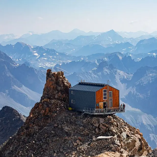
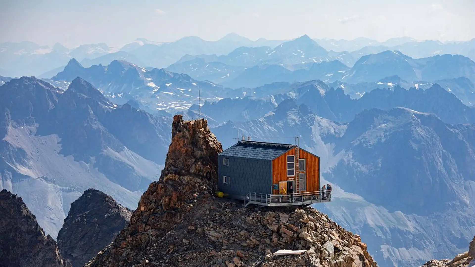
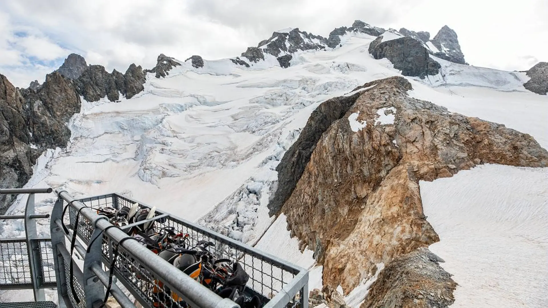
The climb to the Aigle refuge is long and the difference in altitude considerable. Start early to give yourself plenty of room and avoid suffering too much from the heat. Up to the Col du Bec, the route follows a well-marked path. Then it's into the realm of the high mountains, where you need to find the route and progress safely (crampons, ropes). After the Amieux cable, access to the glacier can be tricky in late summer when the mountain is dry. If you arrive late at the refuge, it is advisable to sleep there (booking essential). Without climbing one of the summits of the Meije, it is possible to do two short loops on the glacier before descending into the valley: the Tête des Corridors 3734m or the col du Serret du Savon 3571m.
"In the descriptions, you will find elevations which are intended as a reference point to locate your position on a gradient or slope. These should be taken with a margin of error (~ +/- 30 metres), especially where they are not set or referenced by the IGN. In the last resort, it is your own experience that will guide you when, maybe at the foot of five dihedral corners all indistinguishable from one another, you are complaining bitterly about your guidebook or even a friend's sketch. It would be difficult to grasp all the complexity of a route using just a description or a photo view of the route. Only the three aids together (description/photo with a route overlay/IGN map) will give you a comprehensive picture.
The conditions of a route or the mountain can change, and sometimes the description will differ from what you encounter on the ground. Be your own guide. These descriptions are not absolute reality and sometimes intuition will serve you better than a guidebook. So BONNE ROUTE, with or without a map to lead you through the maze!"
From the book by Sébastien Constant (2007), Voies normales et classiques des Ecrins, Éditions Constant, L'Argentière-la-Bessée, p. 18.
Is in the midst of the park : The national park is an unrestricted natural area but subjected to regulations which must be known by all visitors.