See photos (2)

Refuge du Tourond

Sport, Pedestrian sports, Hiking itinerary in Champoléon
Unresolved hours
6.0 km
2h 30min
Medium
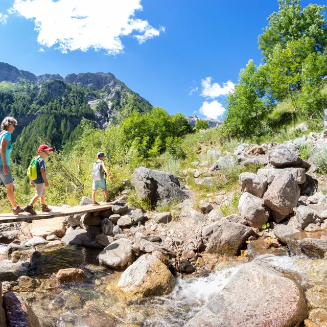
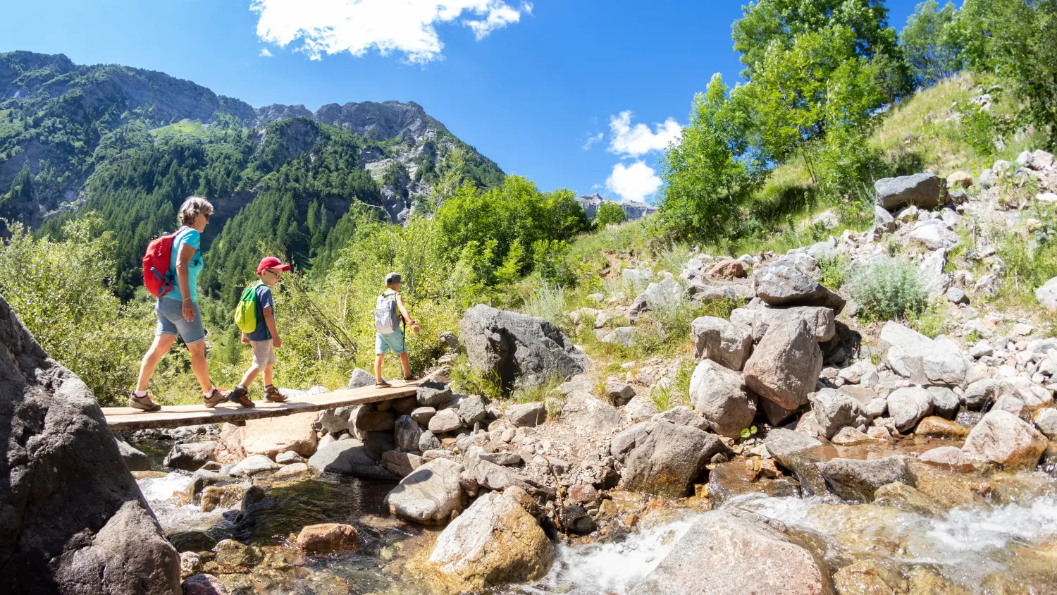
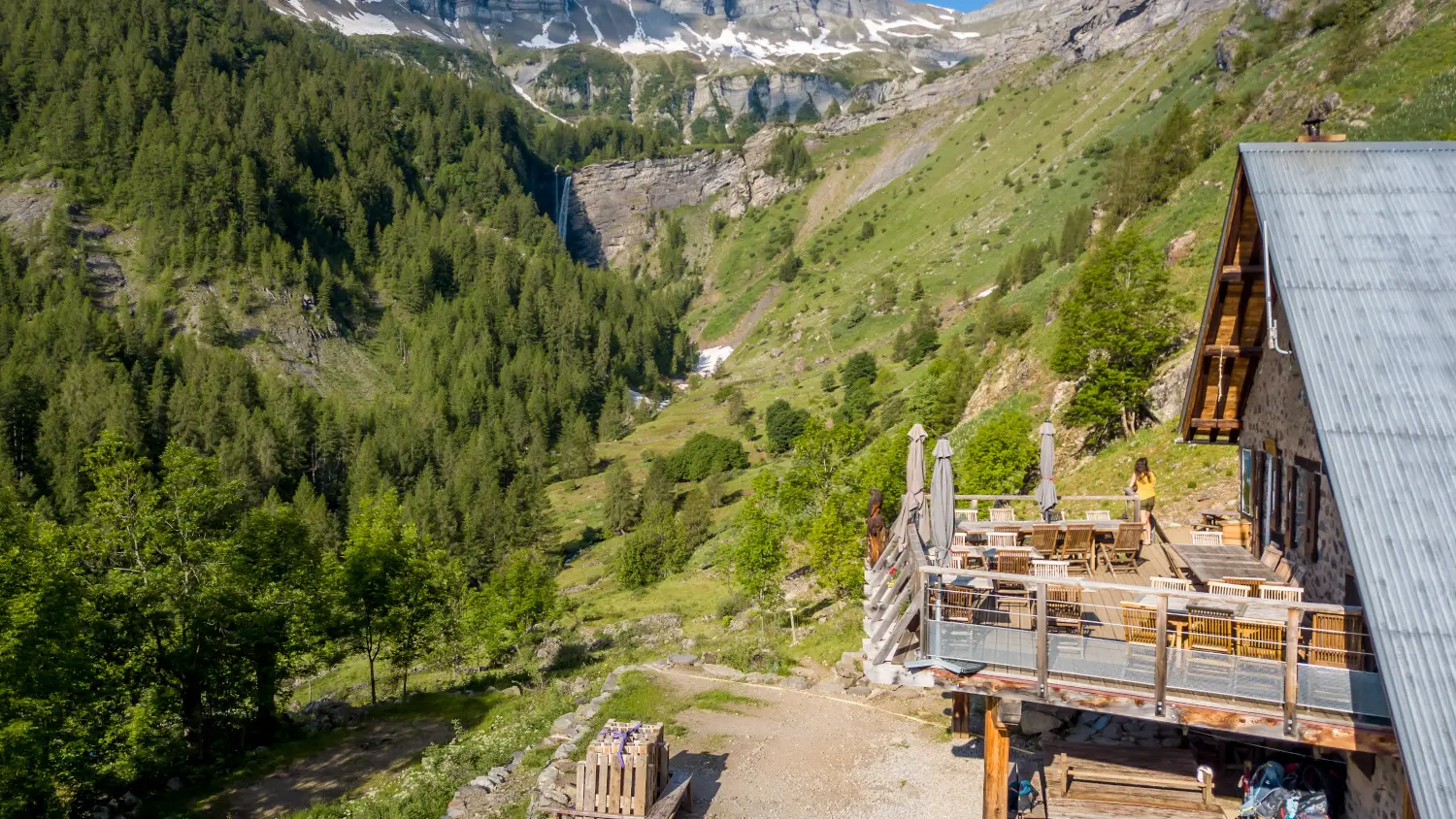
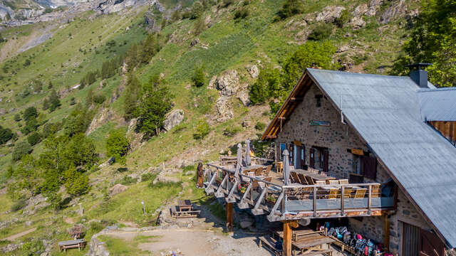
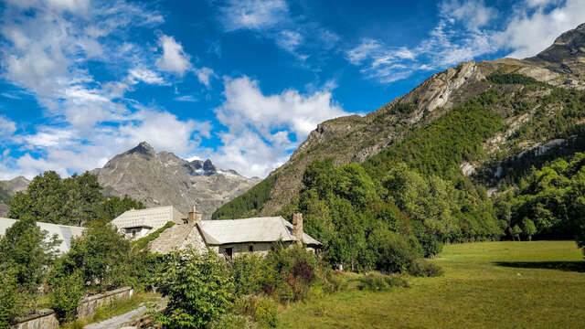
  • A walk in a delightful valley, the Champoléon Valley, with two great rewards: the comfort of the Tourond chalet and the 'cascade de la Pisse' in the background.

  • From the village of 'Les Fermonds', pass the Chapel via the mule track to the bridge that crosses the Muande. Then continue until the Tourond Refuge. Remember to open your eyes to see the goats that frequent this area regularly!
  • Departure
    Champoléon
  • Difference in height
    300.333 m
  • Environment
    • Mountain location
  • Documentation
    GPX / KML files allow you to export the trail of your hike to your GPS (or other navigation tool)
300 meters of difference in height
Created with Highcharts 6.2.0Distance (km)Altitude (m)0 km0.5 km1 km1.5 km2 km2.5 km3 km3.5 km4 km4.5 km5 km5.5 km6 km1350 m1400 m1450 m1500 m1550 m1600 m1650 m1700 mHighcharts.com
  • Maximum altitude : 1686 m
  • Minimum altitude : 1358 m
  • Total positive elevation : 300 m
  • Total negative elevation : -300 m
  • Max positive elevation : 300 m
  • Min positive elevation : -300 m
Services
  • Services
    • Restaurant