- Voir les favoris
Roche-La-Croix forts
Sport, Pedestrian sports, Hiking itinerary
in Val d'Oronaye
9.8
km
3h 45min
Hard
-
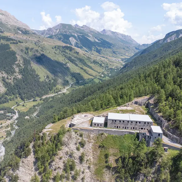
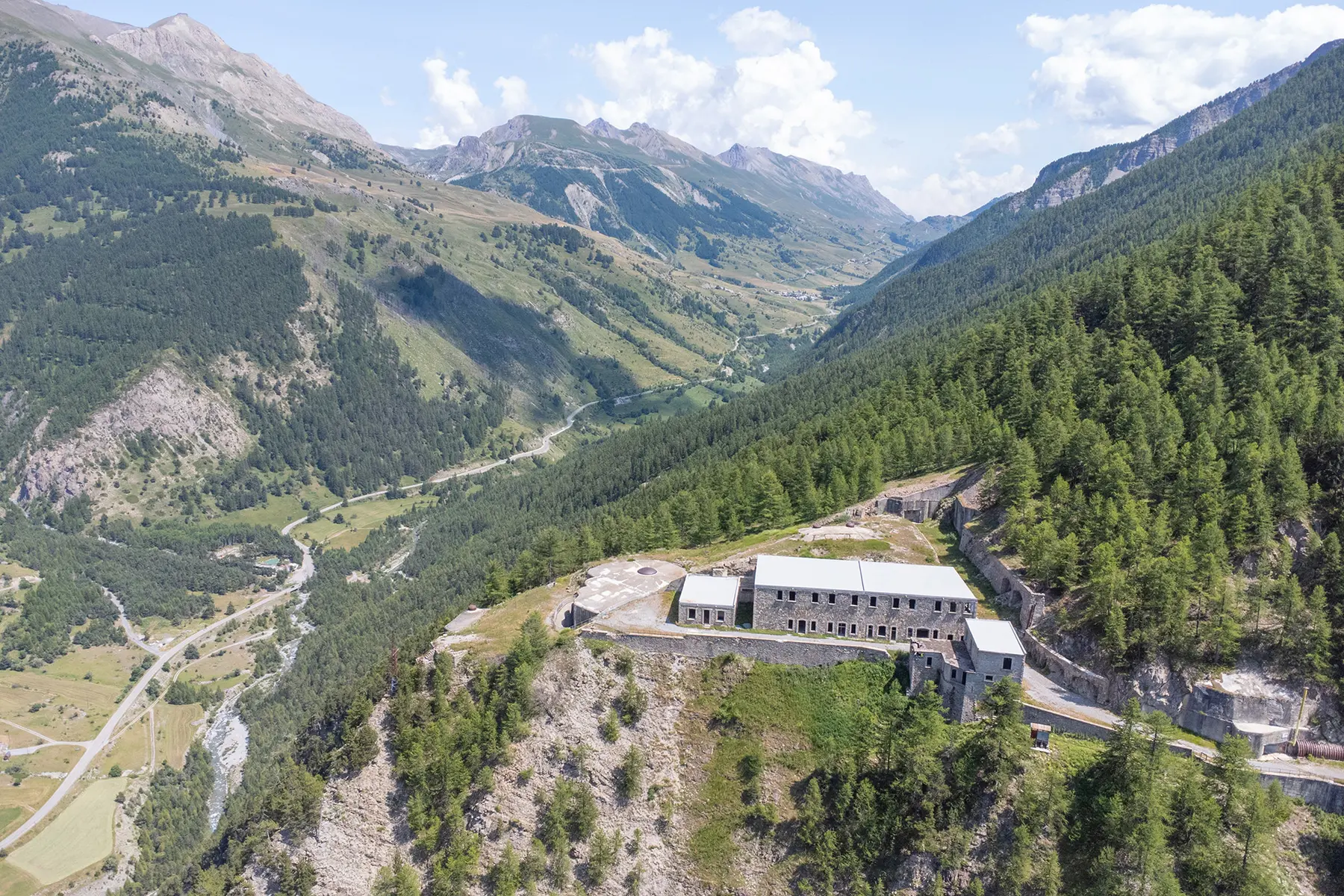
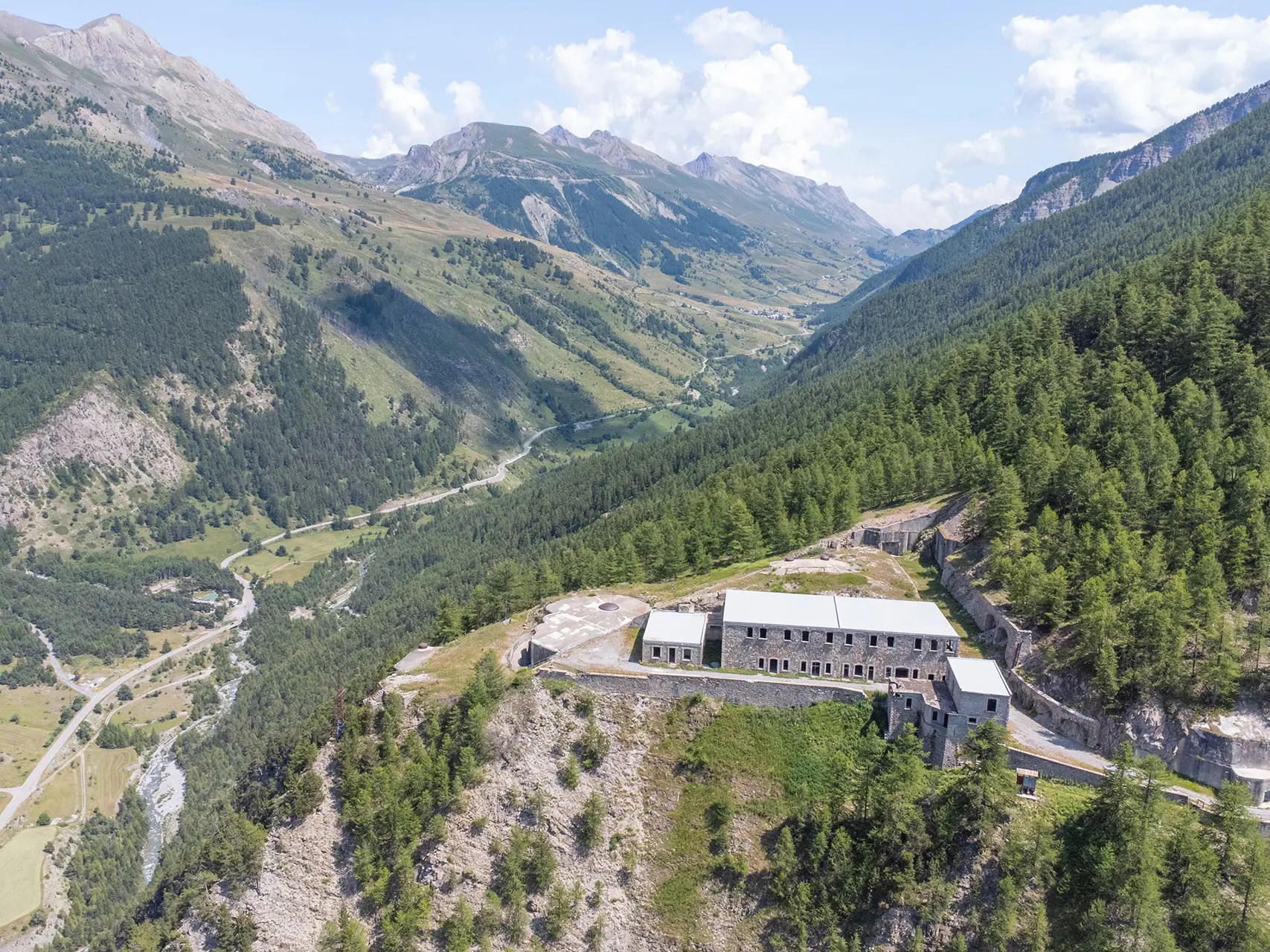
Visit the defensive fortifications of Roche-la-Croix, which overlook the Ubayette. Two eras, two military styles (Séré de Rivières and Maginot Line).
-
From Meyronnes, the route crosses the Ubayette river and then climbs through the Silve woods to reach the upper fort of Roche-la-Croix.
It then descends to the lower redoubt before returning to Meyronnes via a pretty winding path.
- Departure
- Val d'Oronaye
-
-
Difference in height
- 673.958 m
-
-
-
Documentation
- GPX / KML files allow you to export the trail of your hike to your GPS (or other navigation tool)
-
-
-
Accepted customers
-
- See all reviews
- 674 meters of difference in height
-
- Maximum altitude : 2119 m
- Minimum altitude : 1519 m
- Total positive elevation : 674 m
- Total negative elevation : -674 m
- Max positive elevation : 201 m
- Min positive elevation : -249 m
Services
-
-
Services
-
