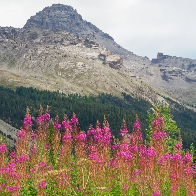
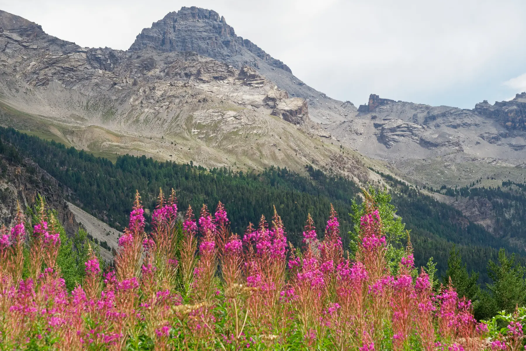
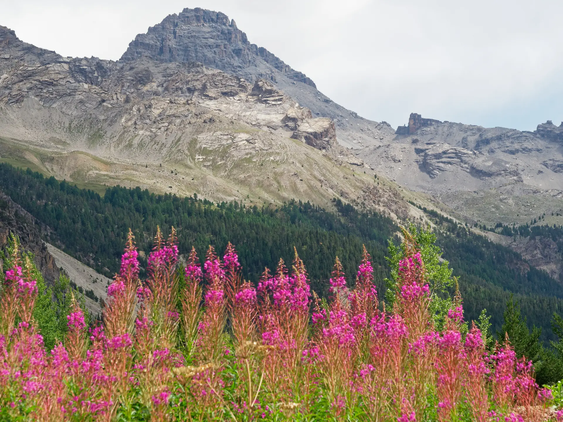
Since 2023, rockfalls have occurred near the Rochebrune trail.
After the collapse of the main unstable parts, and in the absence of any visible sign of new movement
movement apart from residual spot purges, the exposure level of the routes has returned to a level similar to what it was before.
Please remain cautious and take note of the information provided. For further information, contact the Briançon guide office on 04 92 20 15 73.
Detailed itinerary :
1. From the parking lot, take the path towards Col perdu, on the left of the commemorative stele.
2. When you reach Col Perdu, go down the other side for about 100m and take the path on the right, under Côte Belle.
3. Follow this highly visible path up the mountainside. Then climb up the Casse des Oules and continue to the Col des Portes, where the path begins to disappear into the rocks.
4. At the Col des Portes, marked by a cross and a commemorative plaque, head for the gap to the right of the summit. There is no path, only cairns. The couloir descending from this gap is lined in the middle with a rocky spur. First aim for the left bank (right branch) of the couloir to reach the base of this spur, then cross to the right bank below this base and finish the ascent on this side. A firn occupies the gap all year round.
5. At the brèche, locate the fixed rope on the left of the north flank. This rope is not essential, but it indicates where to climb on rock with good holds. Remember to wear a helmet from this point onwards, as the hike turns into mountaineering.
6. At the top of the rope, take the ridge running northeast to the right. This becomes almost horizontal and descends slightly before coming to a small dihedral that leads to the gullied combe below the summits.
7. Climb the easy couloir of this combe to reach the central summit.
8. From the central summit, follow the east-facing ridge to reach the south summit and admire the South Tower.
9. Return to the brèche via the ascent route. The rope can provide reassurance for those who are uncomfortable with de-escalation. From the brèche, descend to the Col des Portes.
10. From the Col des Portes, return by the same route as at the alley.
Tip: as this is a long, physical hike, we recommend setting off early in the morning, with plenty of food and water.
Tricky sections: after the Col des Portes, the path is steep and some sections are on scree.
The last part of the ascent is very difficult, requiring you to climb the wall. The danger is real. You'll need a helmet to protect you from falling rocks. You also need to be very careful and vigilant throughout the final climb.
Warning: this route is not recommended for people prone to vertigo.
This is an unmarked hiking route. The information given is for guidance only and should be adapted according to your level of experience and the day's weather.
It is essential to prepare your outing before setting off (appropriate clothing, bring water and snacks, tell those around you about your route, don't set off alone...).
If in doubt, or if the itinerary becomes complicated, don't hesitate to turn back.
This is an unmarked hiking trail. The information provided is for reference only and should be adapted to your level of experience and the weather conditions on the day.
It is essential that you prepare for your outing before setting off (wear suitable clothing, bring water and snacks, tell someone where you are going, do not set off alone, etc.).
If in doubt or if the route becomes difficult, do not hesitate to turn back.
For this demanding hike, it is strongly recommended that you be accompanied by a mountain professional.
For more information, contact the following organizations:
- Bureau des Guides de la Grave 04 76 79 90 21
- Alain TALLARON, independent guide 06 08 30 69 09
- Briançon Guides Office 04 92 20 15 73
Read more