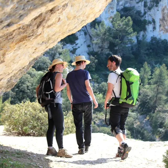
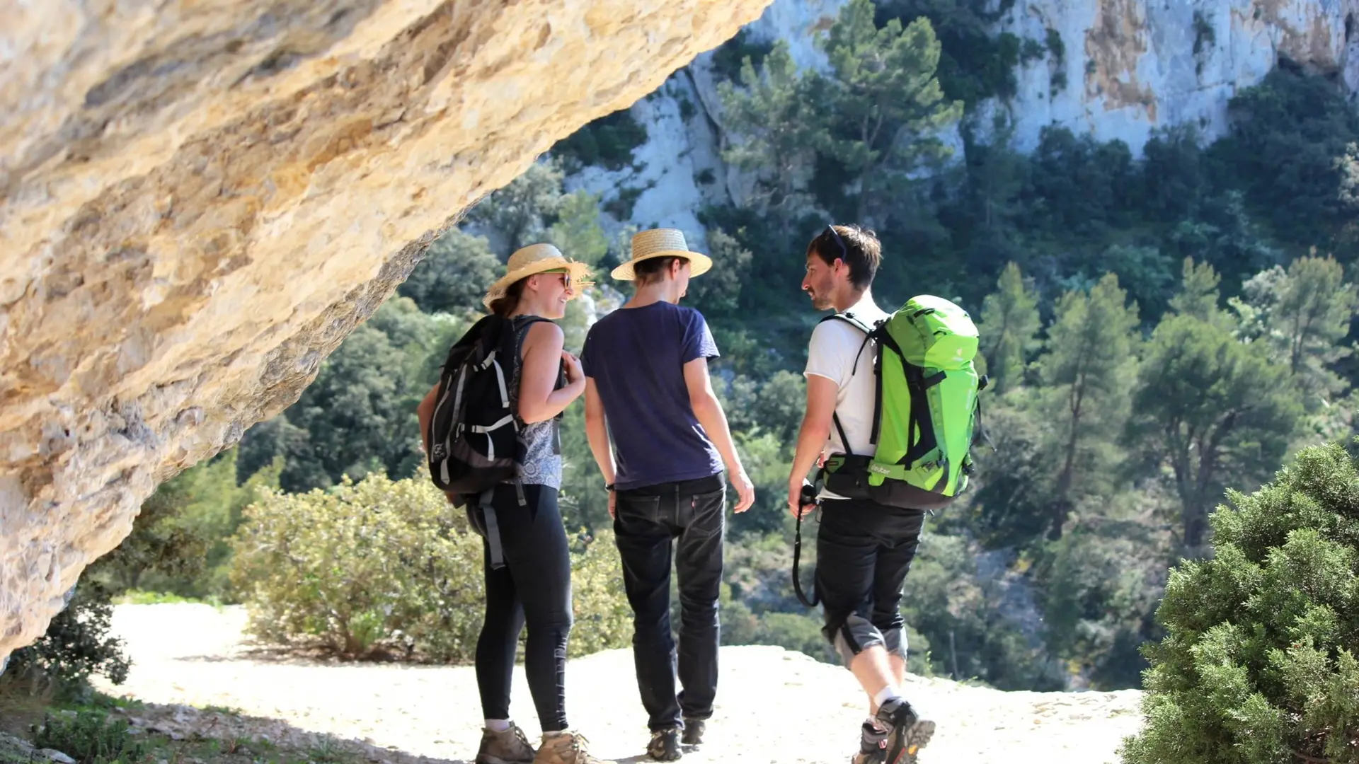
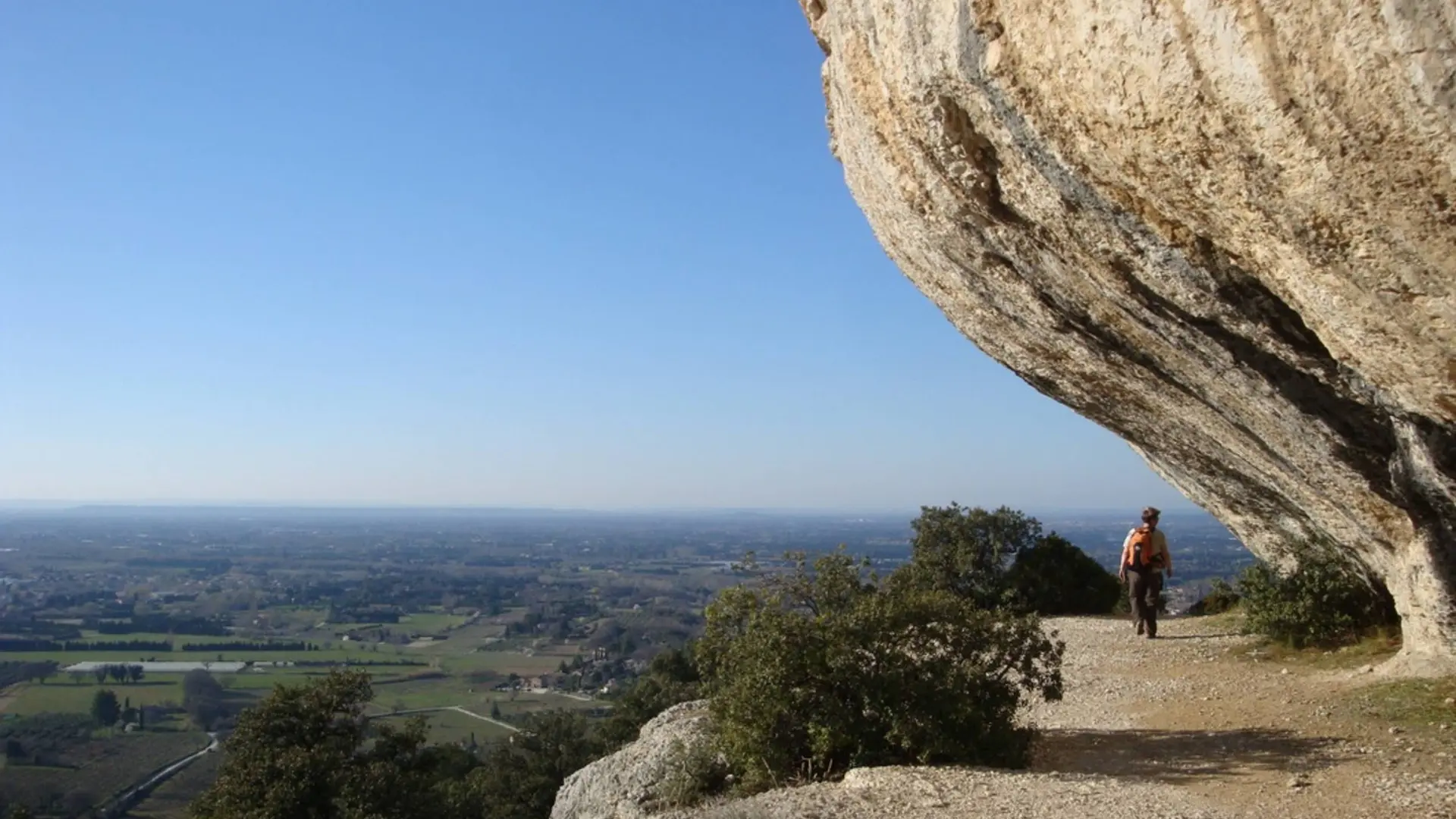
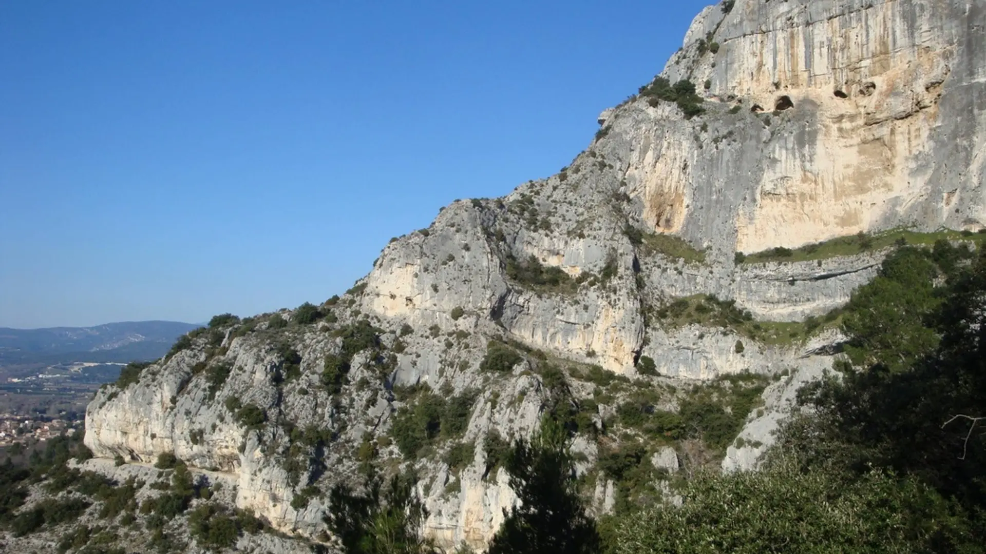
See photos (6)

Rocks of Baude

Sport, Pedestrian sports, Hiking itinerary in Taillades
9.6 km
  • A short but singular stroll between cliffs, balms and ledges of the west end of the Petit Luberon.

  • With your back turned to the town hall, take the CHemin de Robion on the left and pass the cemetery.
    1 - At the next intersection, continue straight on the road. Pass the Saint-Gens chapel, then 400m further, turn right on the Chemin de Boulon. Turn left on the edge of the woods. When reaching the big clearing of Boulon, go up the paved road for 200m and turn right.
    2 – At the pole'Boulon', go down the gravel path and at the mouth of the field and the source of Boulon, turn left and, 50m...
    With your back turned to the town hall, take the CHemin de Robion on the left and pass the cemetery.
    1 - At the next intersection, continue straight on the road. Pass the Saint-Gens chapel, then 400m further, turn right on the Chemin de Boulon. Turn left on the edge of the woods. When reaching the big clearing of Boulon, go up the paved road for 200m and turn right.
    2 – At the pole'Boulon', go down the gravel path and at the mouth of the field and the source of Boulon, turn left and, 50m higher, climb to the right on the path (steep at the beginning). Stay on the right until you reach the foot of the cliffs. Weave through the large balms while enjoying passages of cliff ledges. After the circus of Boulon, pass below the large face of the rocks of Baude. Cross the rock shelter and climb to the breach of Castellas avoiding the steps that descend towards the foot of the massif (the marking is tricky). Cross the breach and switch to the gorges of Badarel. Careful, the trail is quite steep and stony.
    3 - At the bottom of the ravine (pole:'The Castellas'), turn right and start the descent of the gorges of Badarel. Caution, it is narrow, steep, rocky and it includes a short passage with a ladder. Continue through the bottom of the valley and reach a track. Head across, then at the first houses, cross a barrier and continue until the Chemin de Robion.
    4 - Turn left to return to the starting point.

    Difficult
  • Departure
    Taillades
  • Difference in height
    572.691 m
  • Departure : Town Hall Square, Les Taillades.
    Arrival : Town Hall Square, Les Taillades.
    Road access : At 5km east of Cavaillon, through the D143..
    Parking recommended : Saint-Ferréol parking area, nearby the town hall .
  • Documentation
    GPX / KML files allow you to export the trail of your hike to your GPS (or other navigation tool)
573 meters of difference in height
  • Maximum altitude : 378 m
  • Minimum altitude : 119 m
  • Total positive elevation : 573 m
  • Total negative elevation : -572 m
  • Max positive elevation : 225 m
  • Min positive elevation : -87 m