Photo by William Hook on Unsplash

Route 3: La Jeun's

Sport, Cycling sports, Mountain biking itinerary in Hyères
3.0 km
  • Circuit start: shooting range parking lot (1.6 km link if starting from velodrome parking lot)
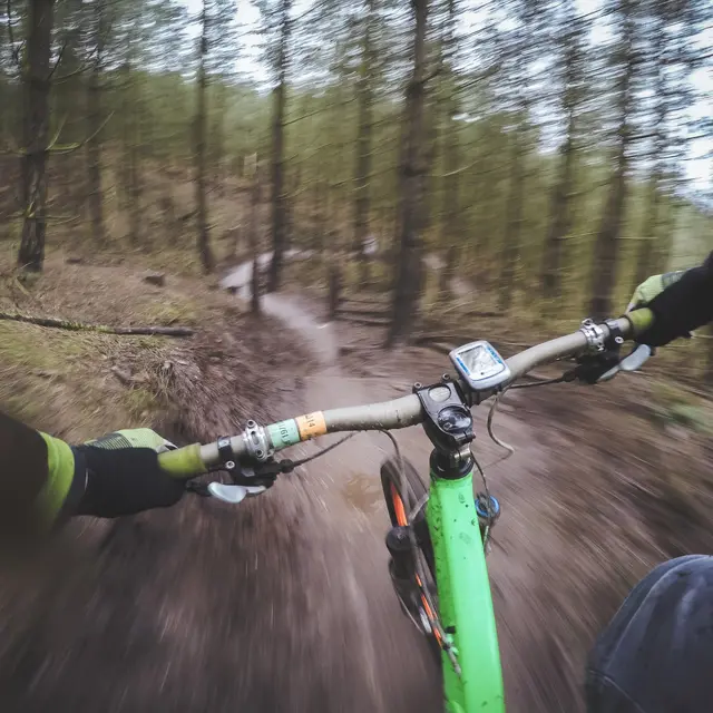
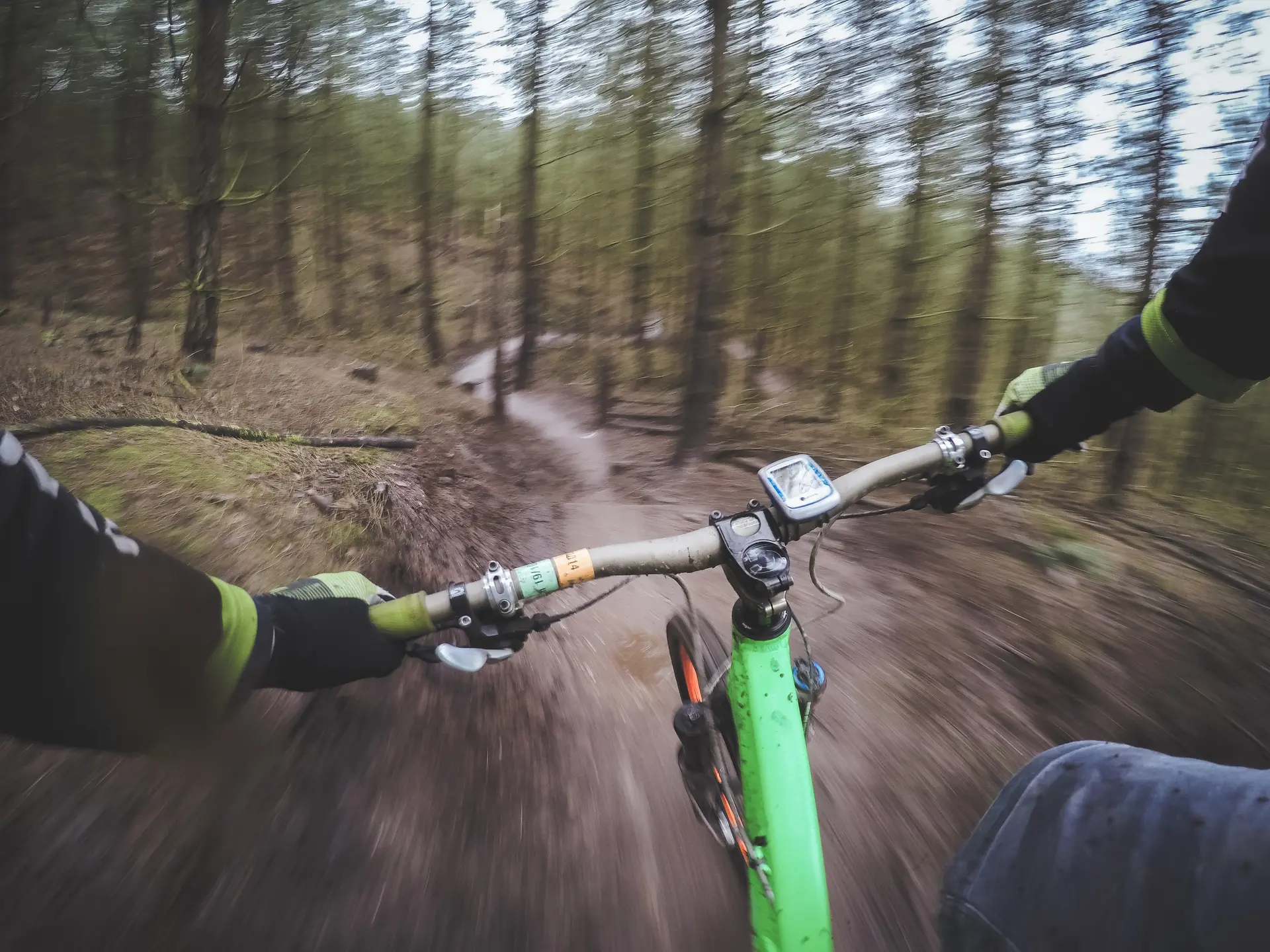
    Enduro circuit

  • Enduro circuit, with an accessible ascent on a wide track, but technical on the final section due to the many rocks.
    The descent is technical, with numerous jumps over small rocks, steps and small bumps. The upper part of the descent meanders between trees and the ground is unstable.
    This descent is reserved for riders with a good technical base.
  • Departure
    Hyères
  • Difference in height
    139.333 m
  • Spoken languages
    • French
  • Documentation
    GPX / KML files allow you to export the trail of your hike to your GPS (or other navigation tool)
139 meters of difference in height
  • Maximum altitude : 187 m
  • Minimum altitude : 63 m
  • Total positive elevation : 139 m
  • Total negative elevation : -139 m
  • Max positive elevation : 113 m
  • Min positive elevation : -116 m