- Voir les favoris
Route 4: The tanks
Sport, Cycling sports, Mountain biking itinerary
in Hyères
3.3
km
-
Circuit start: shooting range parking lot (1.6 km link if starting from velodrome parking lot)
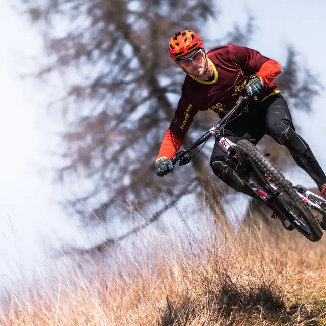
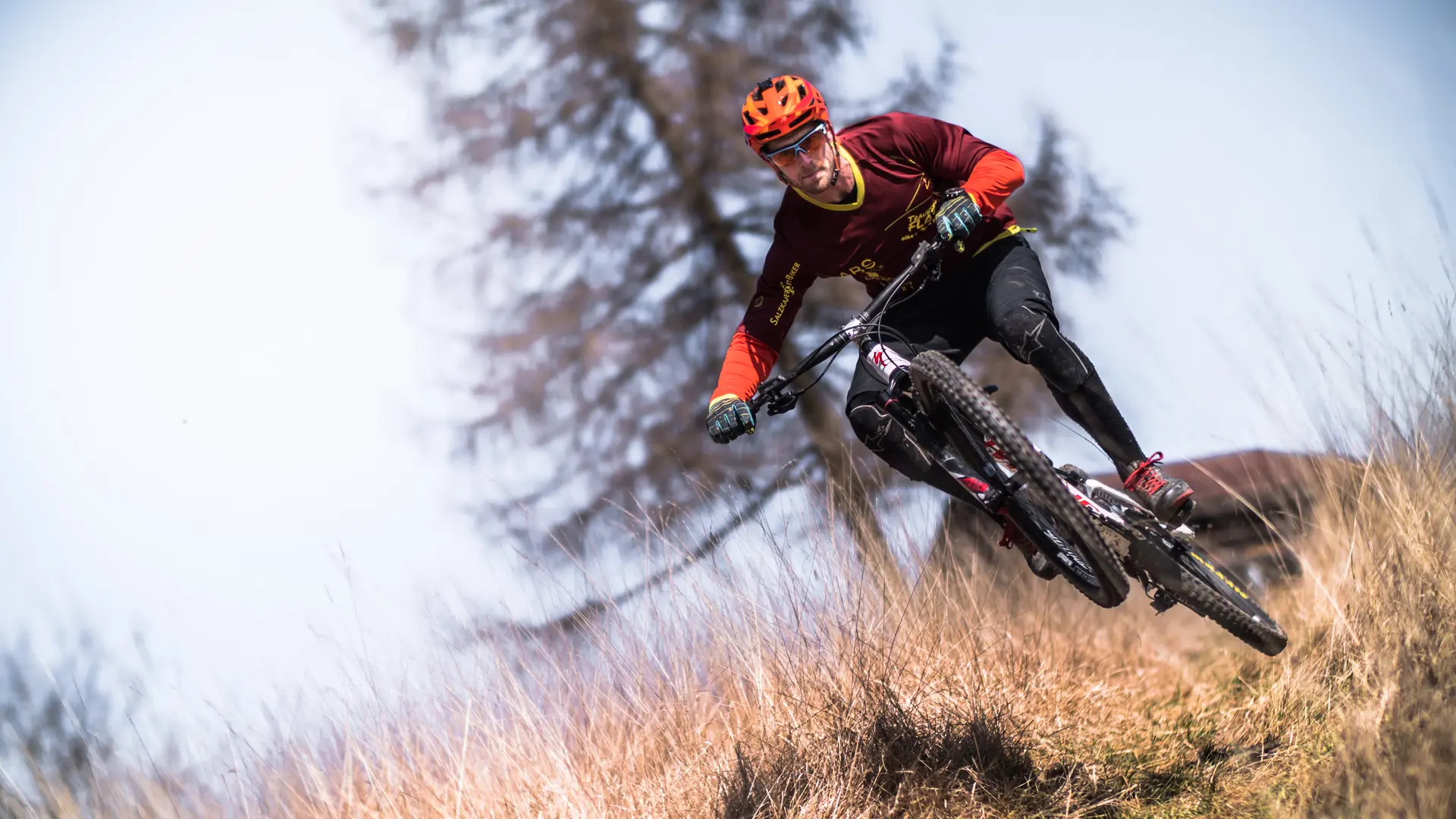
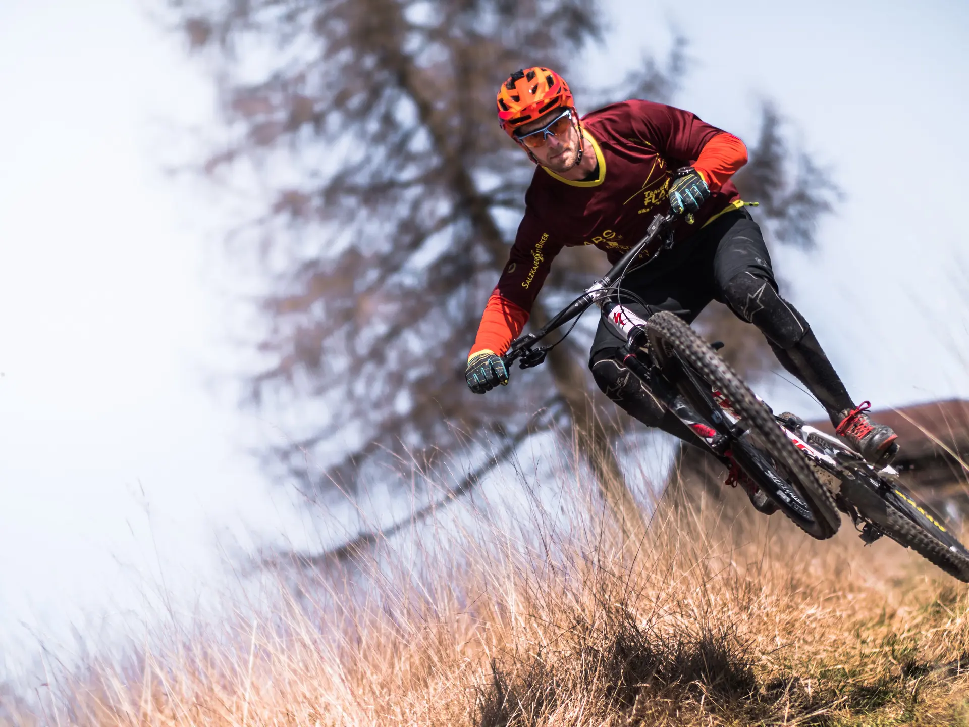
Enduro circuit -
Enduro circuit, with an accessible ascent on a wide track, but made technical on the final section by the many rocks. The descent is technical, with numerous jumps over small rocks, steps and bumps. You'll also find a number of banked bends serving as supports. The upper part of the descent meanders between trees and the ground is unstable.
This descent is reserved for riders with a good technical base.
- Departure
- Hyères
-
-
Difference in height
- 147.667 m
-
-
-
Spoken languages
-
-
-
Documentation
- GPX / KML files allow you to export the trail of your hike to your GPS (or other navigation tool)
-
- See all reviews
- 148 meters of difference in height
-
- Maximum altitude : 194 m
- Minimum altitude : 70 m
- Total positive elevation : 148 m
- Total negative elevation : -134 m
- Max positive elevation : 111 m
- Min positive elevation : -81 m
