See photos (4)

Saignon, La Gardette path

Sport, Pedestrian sports, Hiking itinerary in Saignon
11.9 km
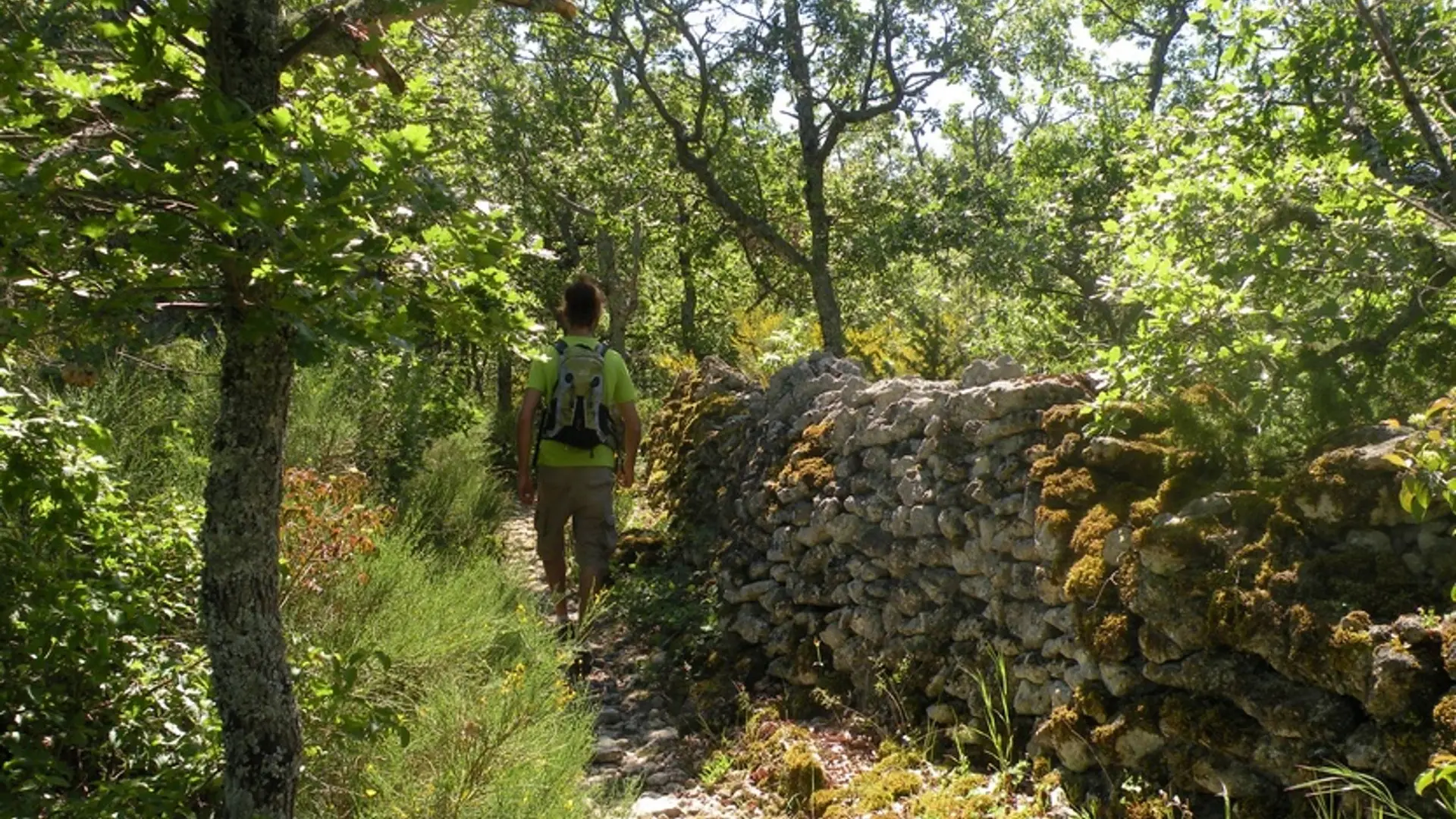
  • A secular trace to dominate the horizon but also to search the myriad of hutches and dry stone huts.
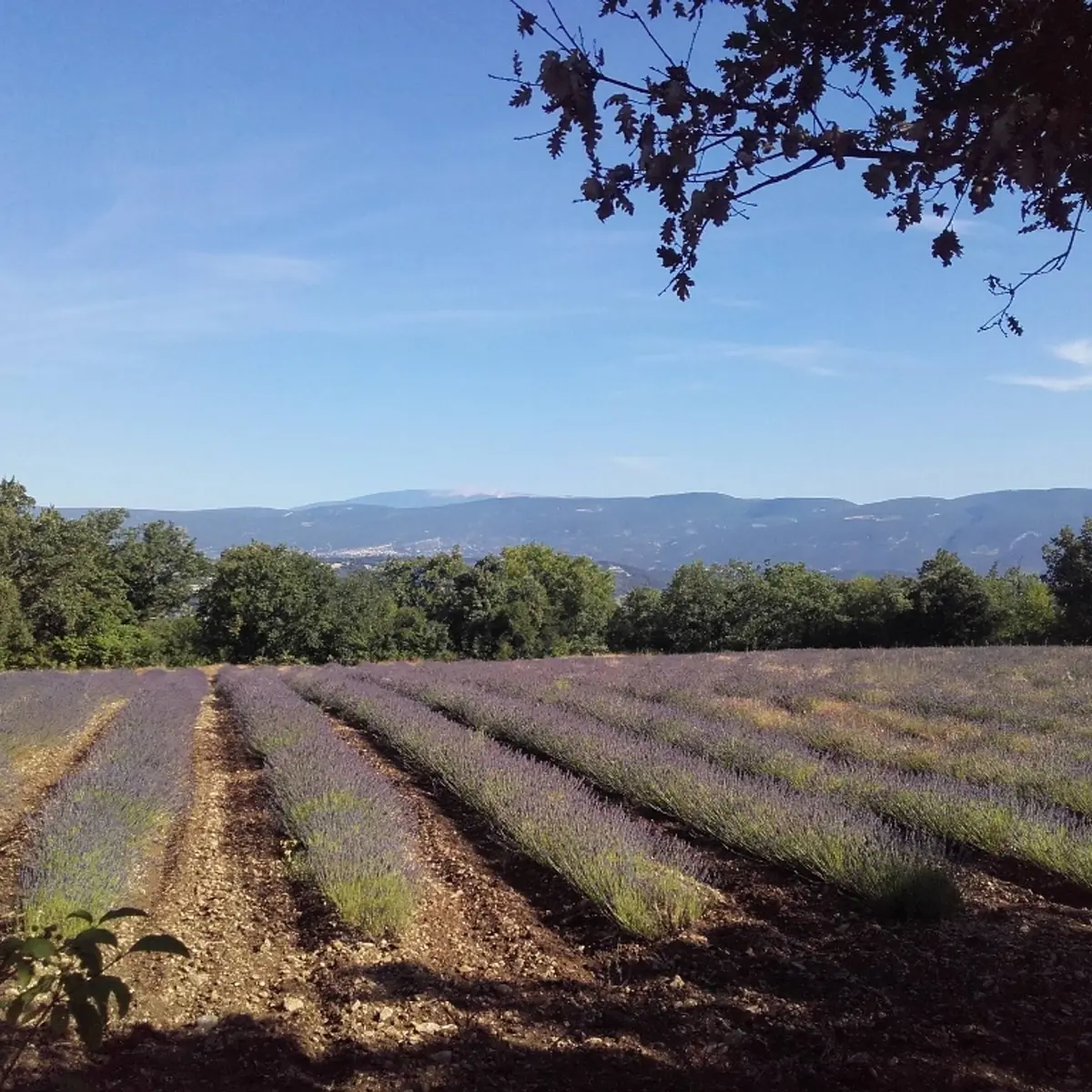
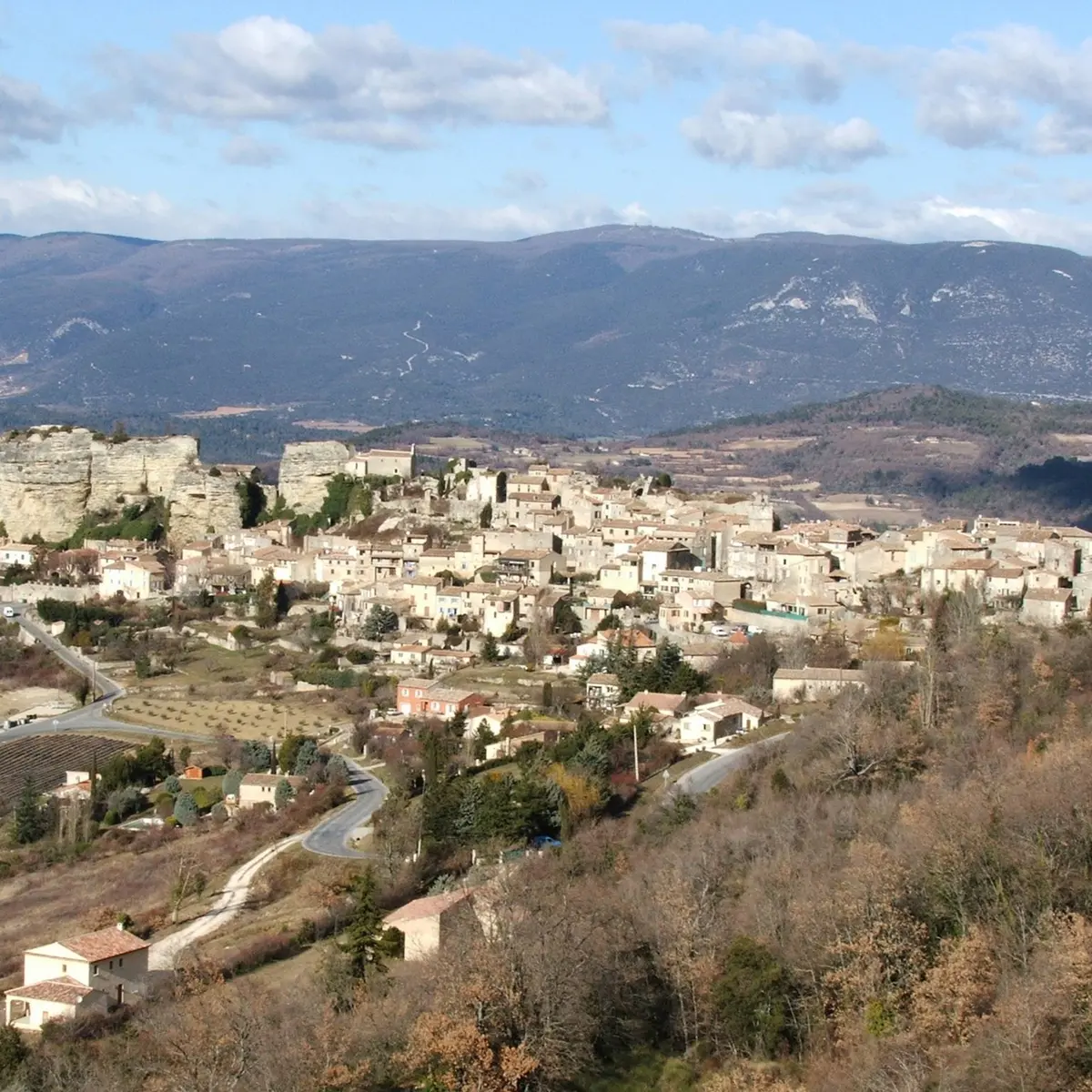
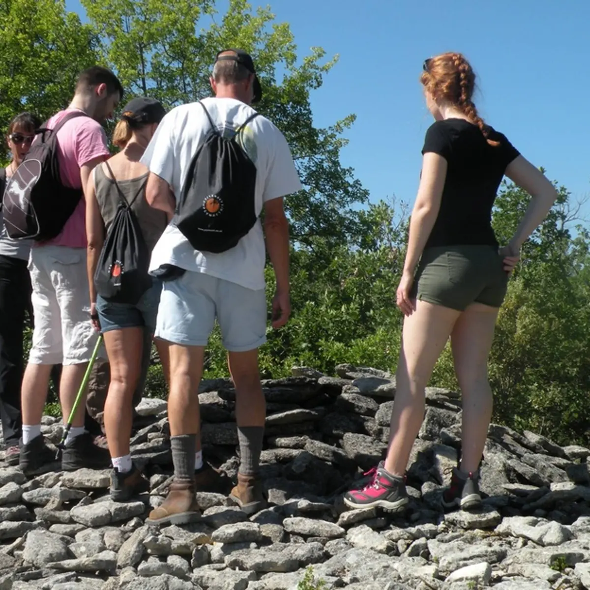
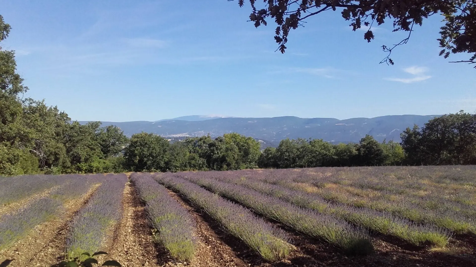
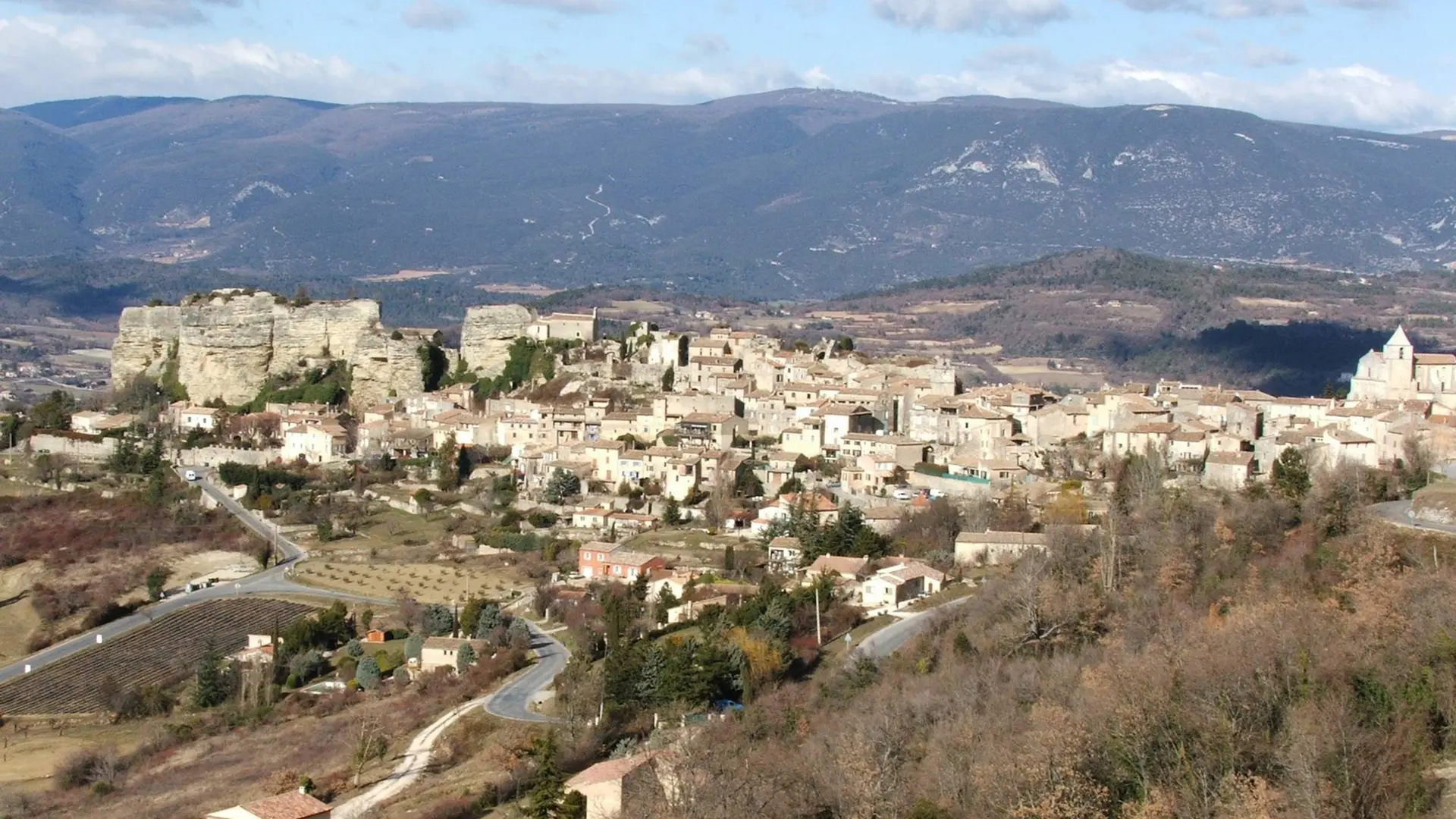
  • At the bottom of the car park go up the caladée ramp and join the Bourgades street. Turn right and join the road junction at the entrance of the village (Calvary). Turn left to pass the school then, at the height of the village hall, climb to the right three stone steps and follow the path undergrowth (local PR, markings green lines). Continue the path at the foot of the cliff and continue on a gentle slope in the woods. At the first obvious intersection, turn right, go up a rocky section...
    At the bottom of the car park go up the caladée ramp and join the Bourgades street. Turn right and join the road junction at the entrance of the village (Calvary). Turn left to pass the school then, at the height of the village hall, climb to the right three stone steps and follow the path undergrowth (local PR, markings green lines). Continue the path at the foot of the cliff and continue on a gentle slope in the woods. At the first obvious intersection, turn right, go up a rocky section and join the D48. Take the left on 150 m (caution!).
    1- At the height of a large field, go left on the dirt road (local PR, green lines marking). Go up to the plateau of La Gardette.
    2- At the Y, turn right and continue the path. Straight ahead get on the path (green lines). Cross a very heavily paved section and then switch to a slight descent on the side of the plateau. Further down, follow the path on the left (green lines). Climb a jump and reach a crossroads.
    3- Turn right and then left (green lines). Get higher on the D48. Cross it and take the path that climbs to the left (green lines). Reach a wide path.
    4- Turn right on the path (PR) and join the D48 (post "Chemin de la Française"). Take on the left the D48 on 560 m. At the end of a bend (caution!), Turn left on the small Fondons car park.
    5- Go to the bottom of the car park on the stony path (PR). Cross a rocky section, continue straight, pass between two lavender fields and reach a crossroads of trails (post "Le Colombier", iron cross).
    6- Turn right (GR® and GRP®), slip under the hedge of trees and brambles and reach a road. Turn 20 m to the right and continue the stony path that starts on the left edge of the road (GR® and GRP®). Take the tormented path down to the road and follow it 130 m on the left.
    7- At the stop, turn left and follow the D48 towards Saignon. 280 m further down the first path (GR® and GRP®). At the bottom, take the D48 again for 30 m and take the path on the left (GR® and GRP®). Go straight Exit on the D48, go down 60 m on the left and then go down on the right the concrete road that leads to the entrance of the village of Saignon (GR® and GRP®).

    Easy
  • Departure
    Saignon
  • Difference in height
    292.667 m
  • Departure : Pasquier car park, Saignon.
    Arrival : Pasquier car park, Saignon.
    Road access : 4 km south-east of the town of Apt by the D48..
    Parking recommended : Parking du Pasquier, en contrebas de la D232 en haut du village de Saignon. .
  • Documentation
    GPX / KML files allow you to export the trail of your hike to your GPS (or other navigation tool)
293 meters of difference in height
  • Maximum altitude : 631 m
  • Minimum altitude : 490 m
  • Total positive elevation : 293 m
  • Total negative elevation : -237 m
  • Max positive elevation : 118 m
  • Min positive elevation : -92 m