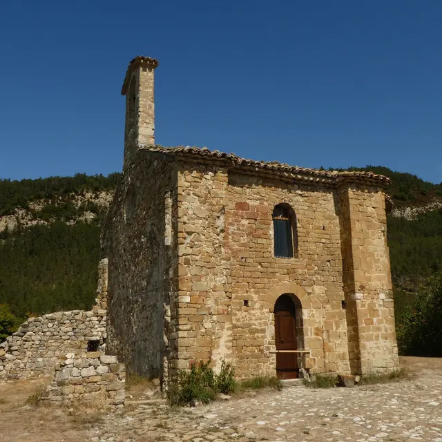
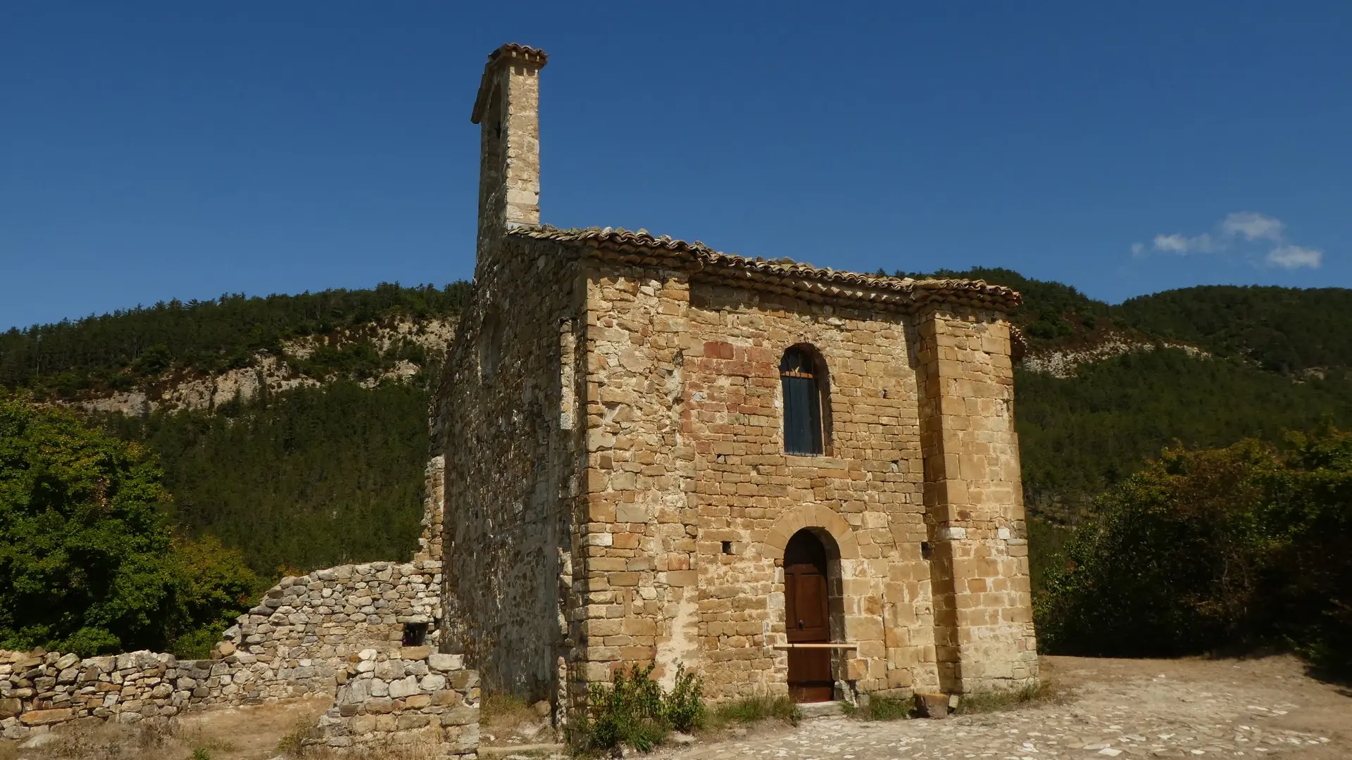
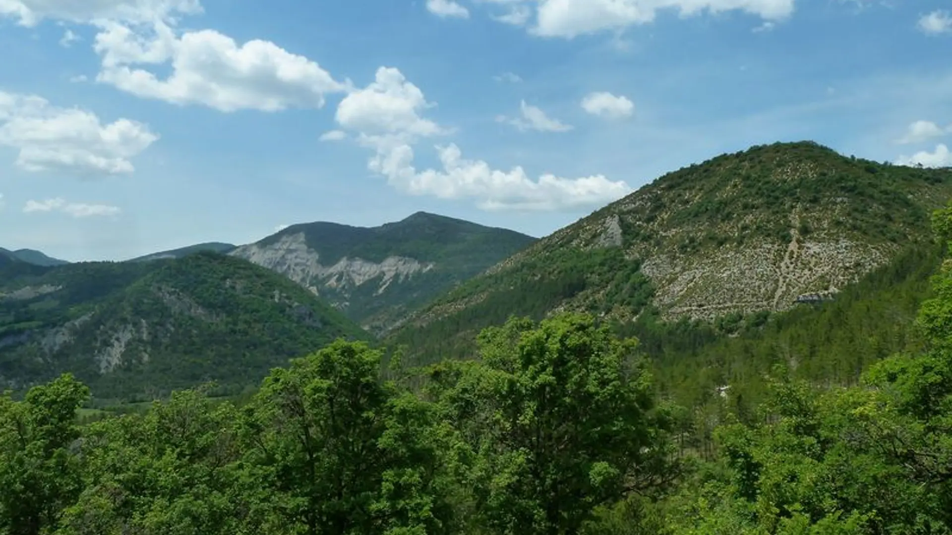
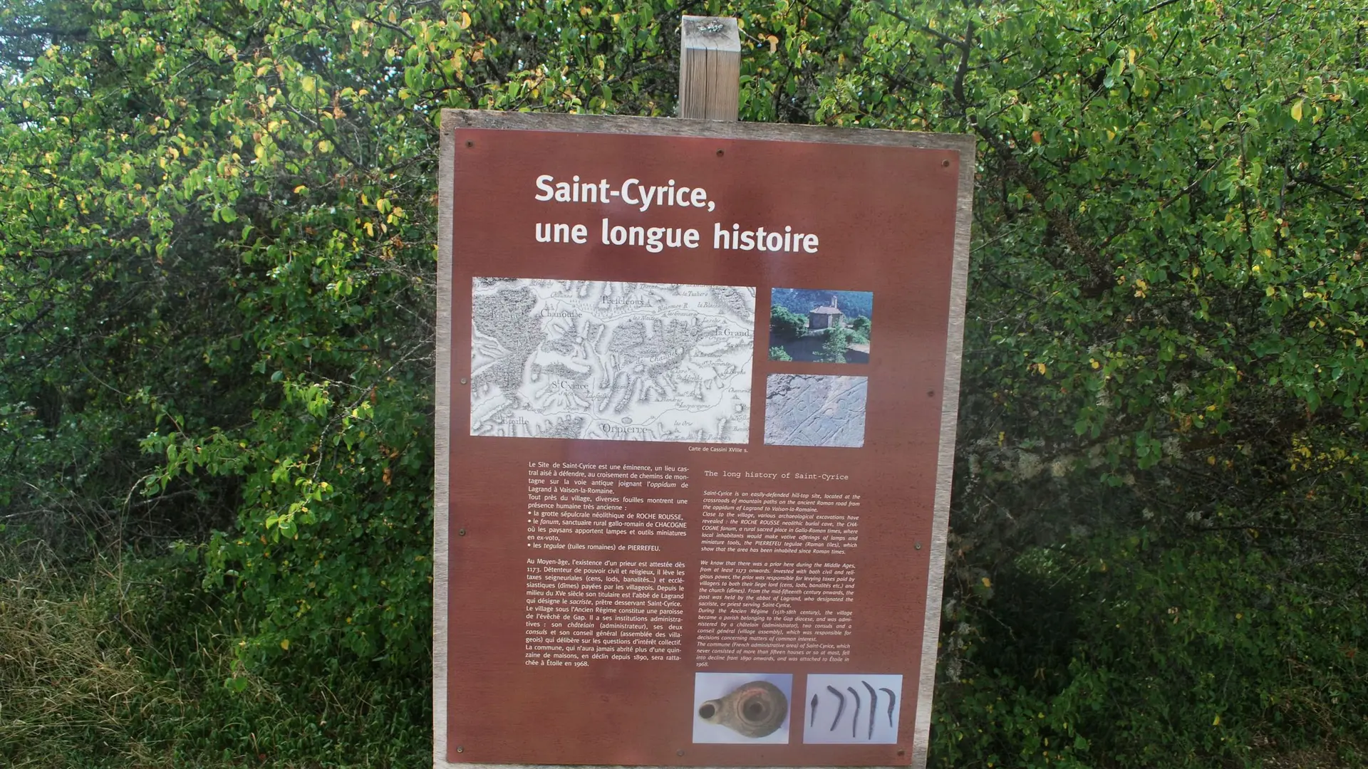
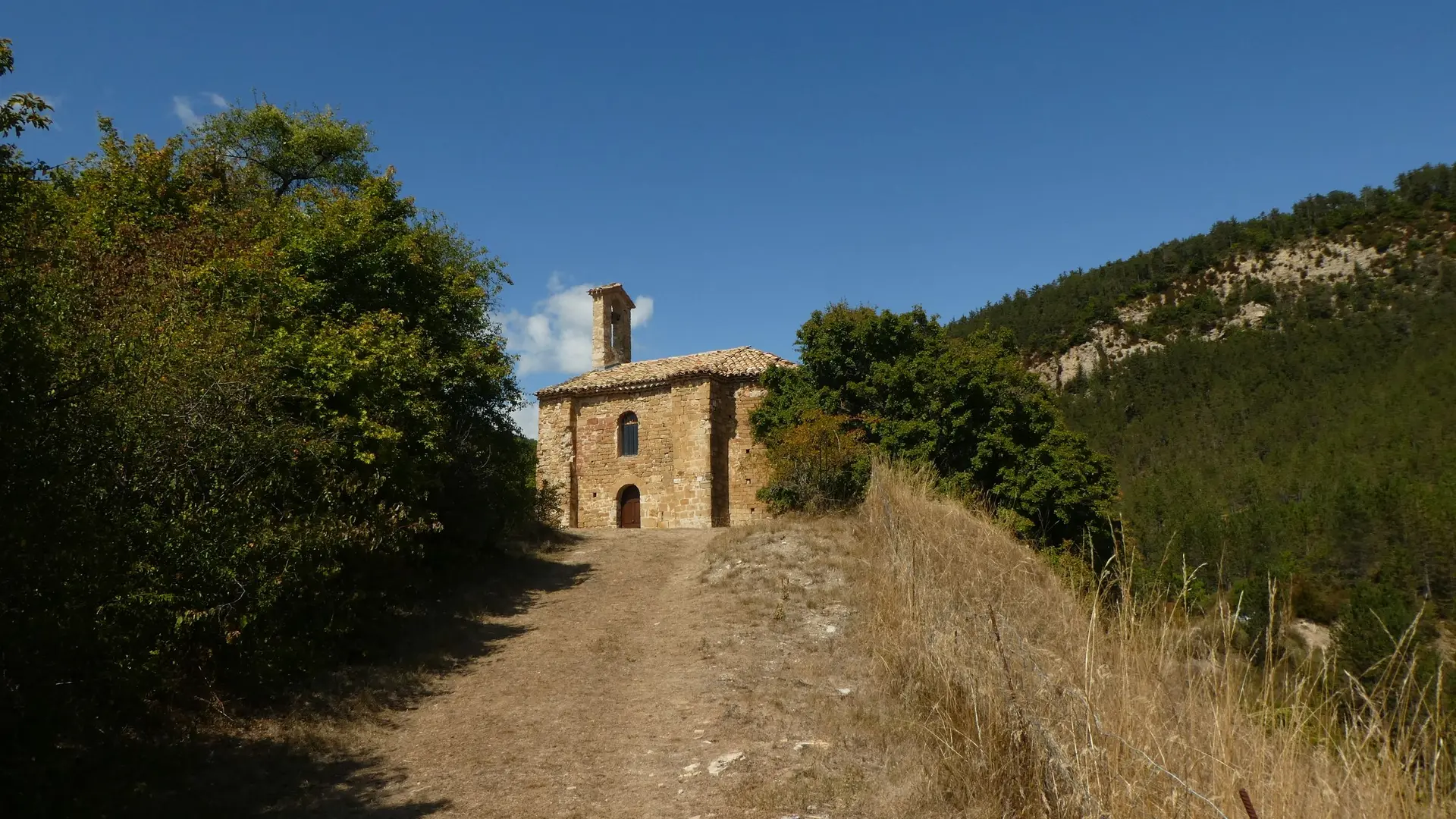
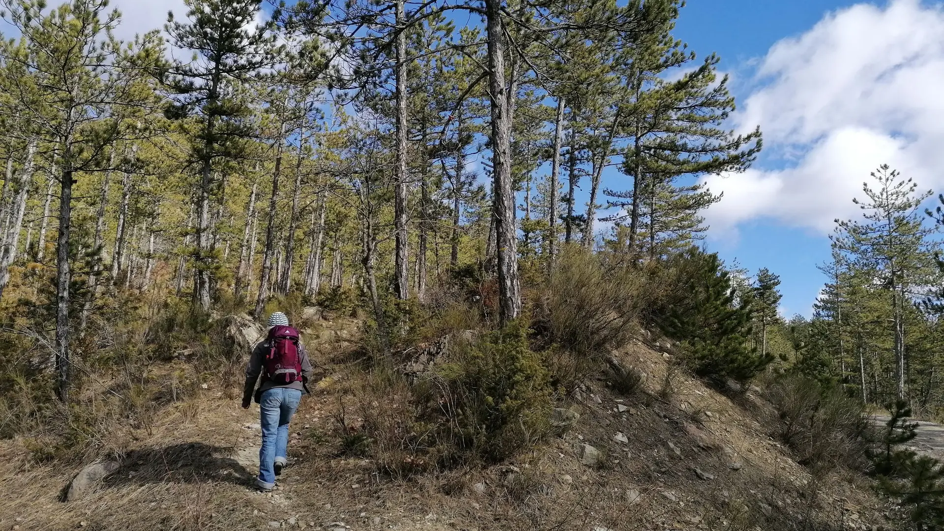
An easy short circuit in the public forest of Saint-Cyrice where you can visit and discover the old village and it’s listed historical monument Romanesque church from the 12th century.
Very easy
Read more
Tips
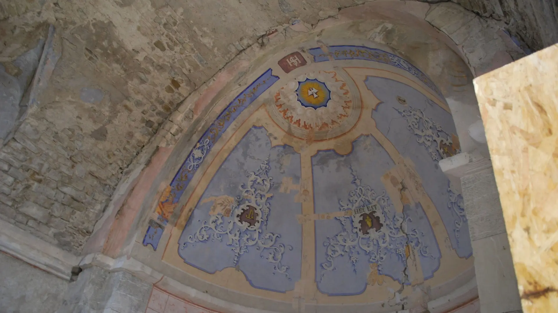
Discovery of Saint-Cyrice chapel, one of the oldest buildings of the Hautes-Alpes departement still covered.