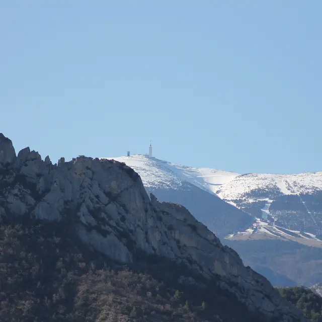
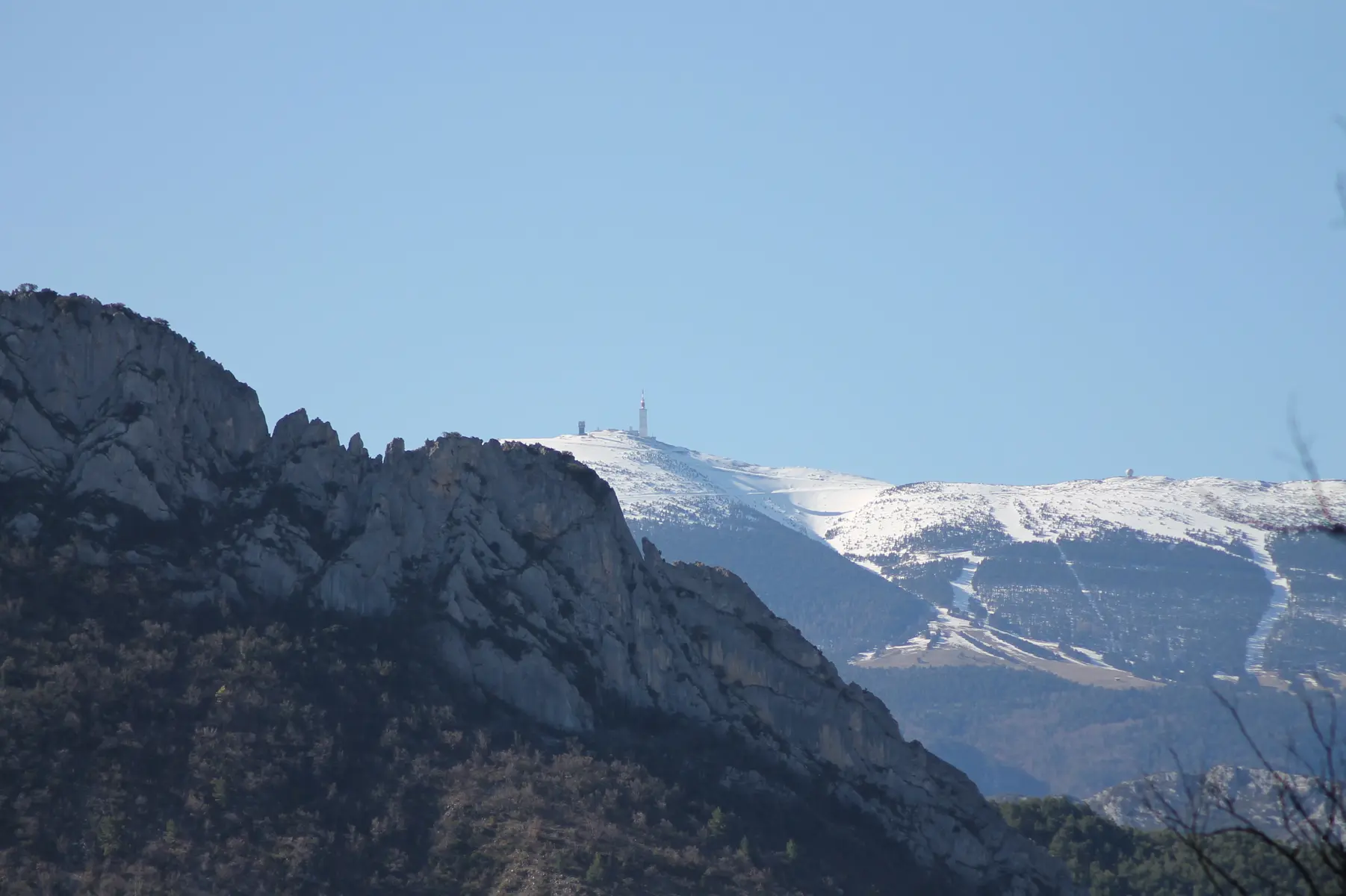
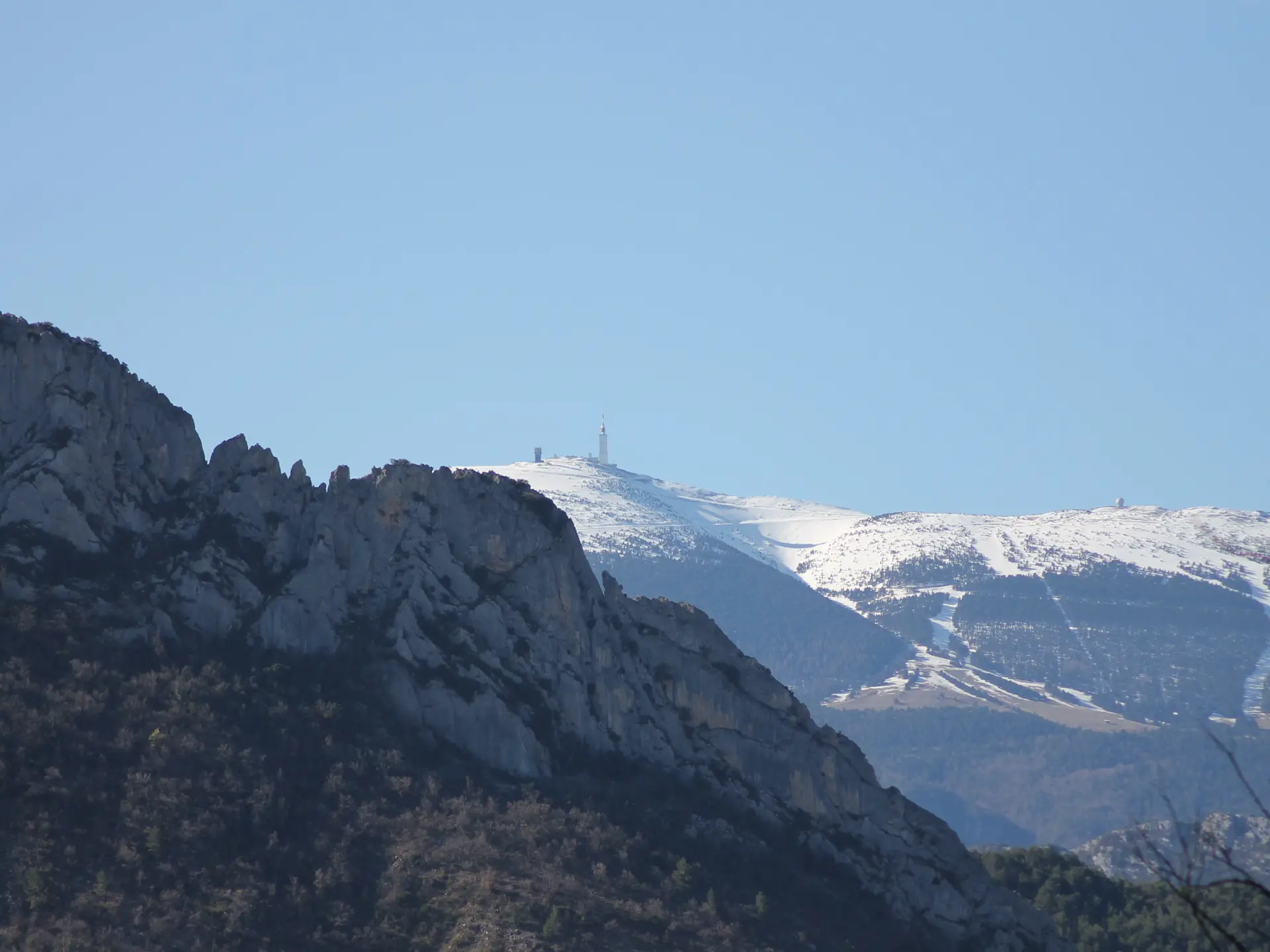
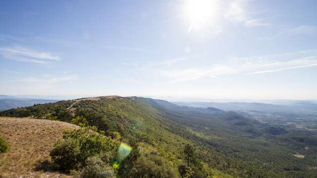
After Malaucène, a cycling town and the northern gateway to Mont Ventoux, you will head towards the Dentelles de Montmirail. A long climb towards the circus and the ridge of Saint Amand (alt. 615m), brings you to wide open views of the famous limestone outcrops of the Dentelles de Montmirail. The rest of the route more or less descends all the way to Lafare via the village of Suzette, through a landscape of pine forests and vineyards.Routes available on www.openrunner.com code 3435856