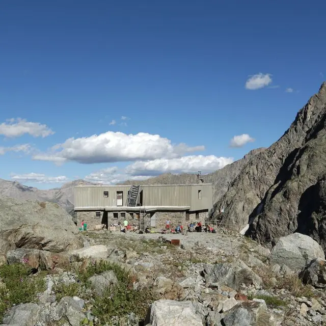
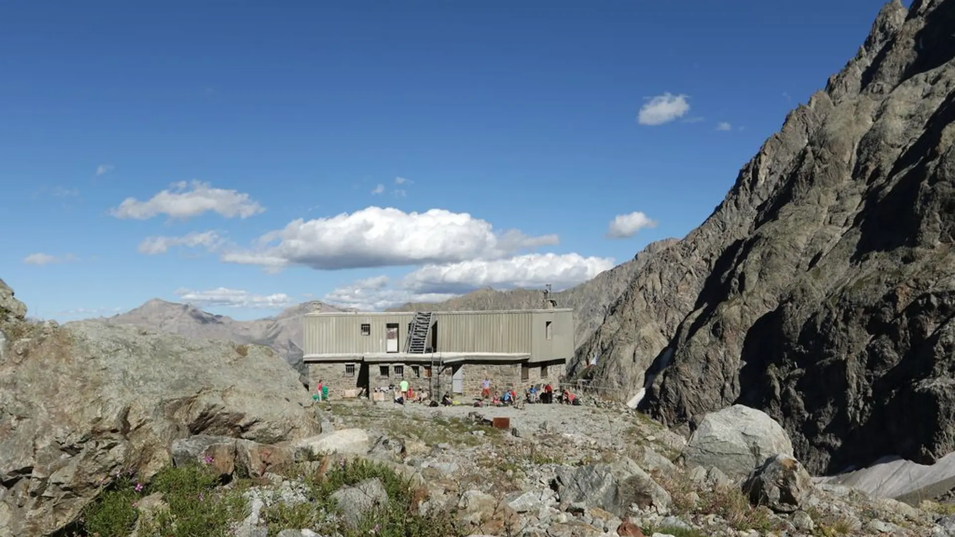
Tips
In the barre du Sélé, there is a difficult passage equipped with cables, exposed and very slippery when it is wet and raining. Camping is forbidden after Ailefroide, bivouacking is authorized at a distance of more than an hour's walk from the limits of the National Park. Fire is forbidden.
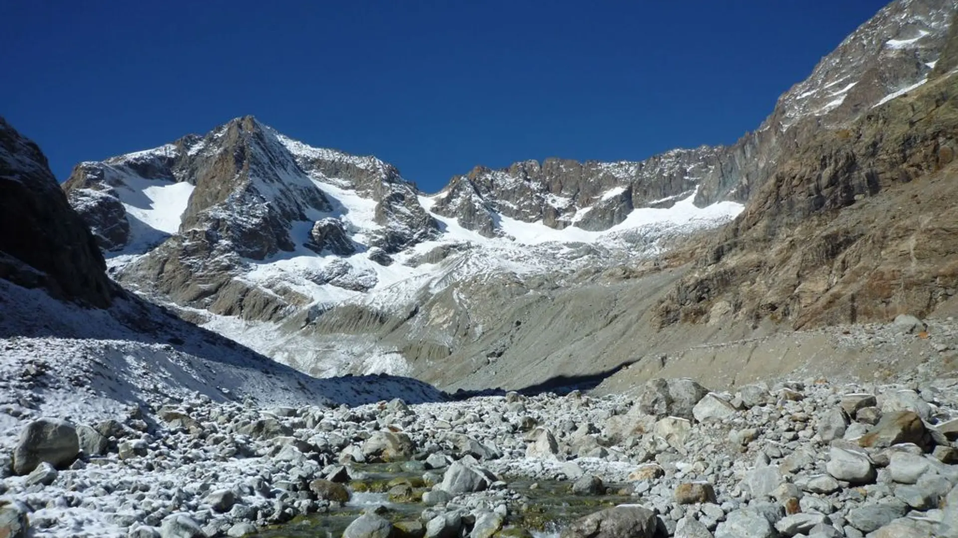
Is in the midst of the park : The national park is an unrestricted natural area but subjected to regulations which must be known by all visitors.