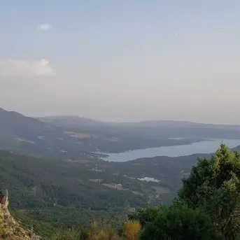
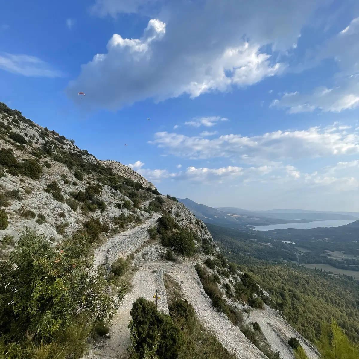
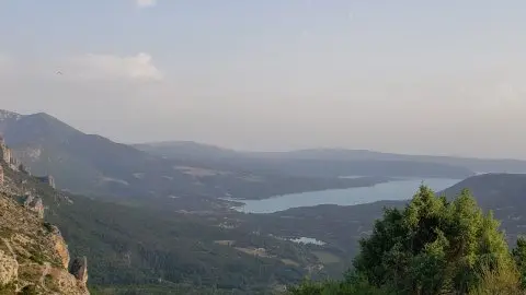
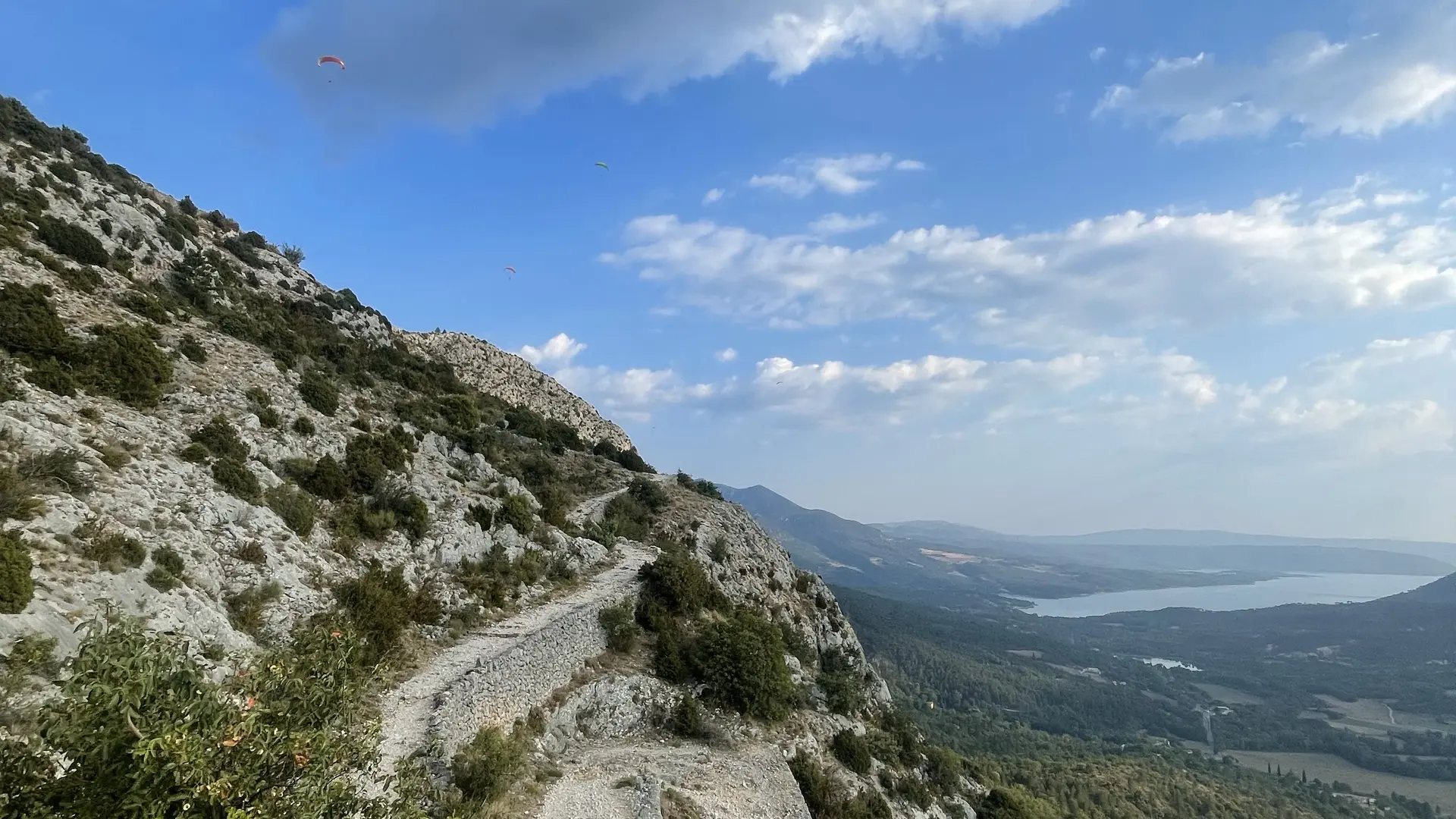
From the upper level of the village's "high car park", above the cemetery, take the ascent to the Chemin de Courchon. Follow the indications "Sentier de la Chaîne". The path is steep and rocky, but still accessible. You will arrive at the promontory of the chain. Retrace your steps and turn left towards a small vertical passage a few metres long (easy level). Follow the signs to "Pierrefeu". It is not advisable to take the Ravin de Notre-Dame to reach the village, as there are regular rockfalls, and the path can only be used "at the hiker's own risk". Return to Moustiers via the Courchon path, which offers a great panoramic view of the lake Sainte-Croix.
6.6km · 420m D+ · 3h
Read more