- Voir les favoris
Sentier Découverte de la Châtaigne
Sport, Pedestrian sports, Course
in Braux
4.6
km
-
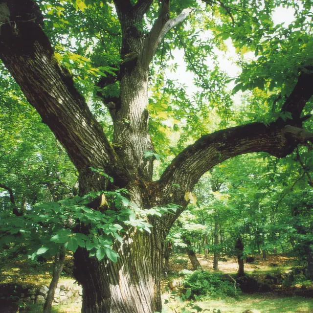
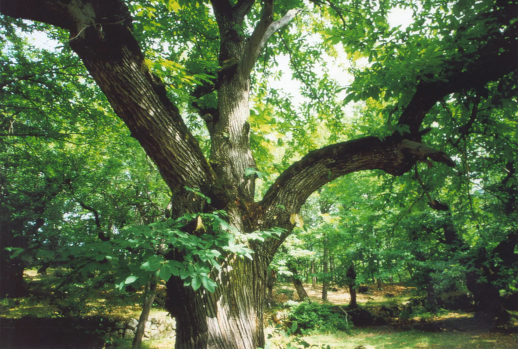
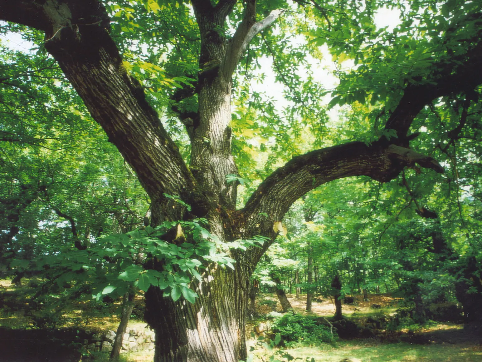
Easy, fun and interactive, this discovery trail winds through
the chestnut grove along a canal, in the heart of a pastoral
landscape. You’ll be able to learn about the distinctive features of
this place from the information boards at 11 sites along the path.
- Departure
- Braux
-
-
Difference in height
- 172 m
-
-
-
Documentation
- GPX / KML files allow you to export the trail of your hike to your GPS (or other navigation tool)
-
-
-
Accepted customers
-
- See all reviews
- 172 meters of difference in height
-
- Maximum altitude : 1115 m
- Minimum altitude : 949 m
- Total positive elevation : 172 m
- Total negative elevation : -172 m
- Max positive elevation : 117 m
- Min positive elevation : -130 m
Services
-
-
Services
-
